Vicarage Field
Downs, Moorland in Essex Braintree
England
Vicarage Field
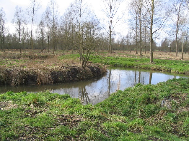
Vicarage Field is a vast and picturesque area located in Essex, England. Nestled amidst the serene countryside, it offers a diverse landscape that encompasses downs, moorland, and meadows. Spanning over several acres, Vicarage Field is a popular destination for nature enthusiasts and outdoor enthusiasts alike.
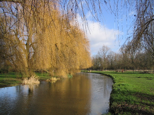
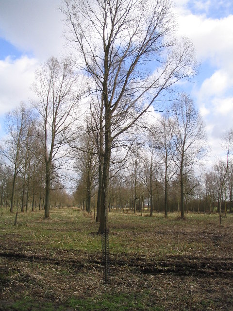
The downs of Vicarage Field are characterized by their gently rolling hills and lush greenery. These hills provide breathtaking panoramic views of the surrounding countryside, making it a perfect spot for hiking and picnicking. The moorland, on the other hand, is a unique feature of this area. It is characterized by its open, wild and somewhat barren landscape, with scattered patches of heather and gorse. Moorland at Vicarage Field is home to a variety of wildlife, including birds, rabbits, and occasionally even deer.
The meadows of Vicarage Field are a sight to behold. They are dotted with colorful wildflowers during the spring and summer months, creating a vibrant and enchanting atmosphere. The meadows also serve as grazing grounds for cattle and sheep, adding to the rural charm of the area.
Vicarage Field is a haven for nature lovers, providing ample opportunities for exploration and relaxation. Visitors can enjoy long walks, birdwatching, or simply immerse themselves in the serenity of the surroundings. The area is well-maintained with designated walking trails and picnic areas, ensuring a pleasant experience for all.
Overall, with its diverse landscape and natural beauty, Vicarage Field in Essex is a must-visit destination for those seeking a peaceful retreat in the heart of the countryside.
If you have any feedback on the listing, please let us know in the comments section below.
Vicarage Field Images
Images are sourced within 2km of 51.871996/0.67927309 or Grid Reference TL8422. Thanks to Geograph Open Source API. All images are credited.
Vicarage Field is located at Grid Ref: TL8422 (Lat: 51.871996, Lng: 0.67927309)
Administrative County: Essex
District: Braintree
Police Authority: Essex
What 3 Words
///waxing.measures.solicitor. Near Coggeshall, Essex
Nearby Locations
Related Wikis
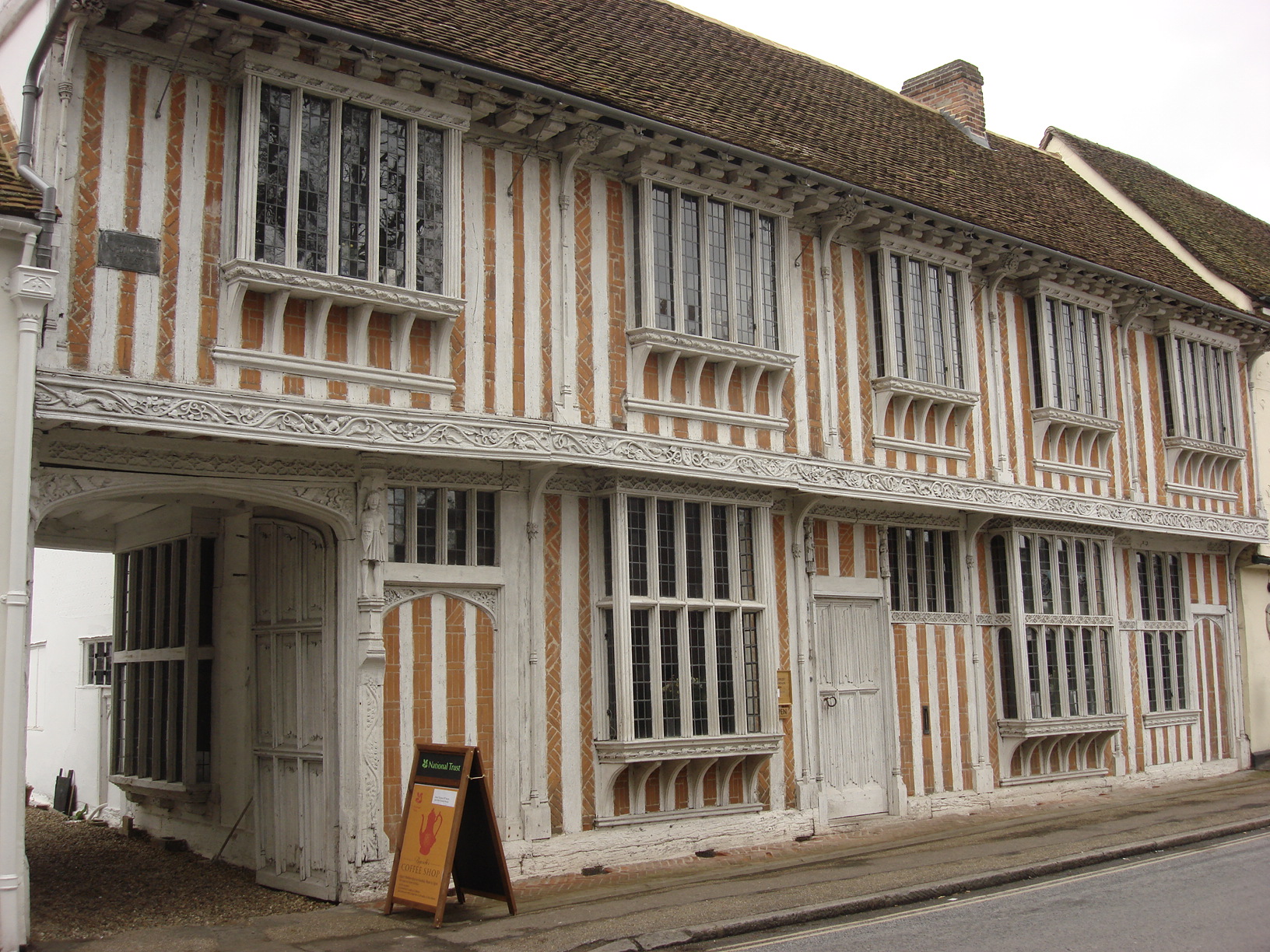
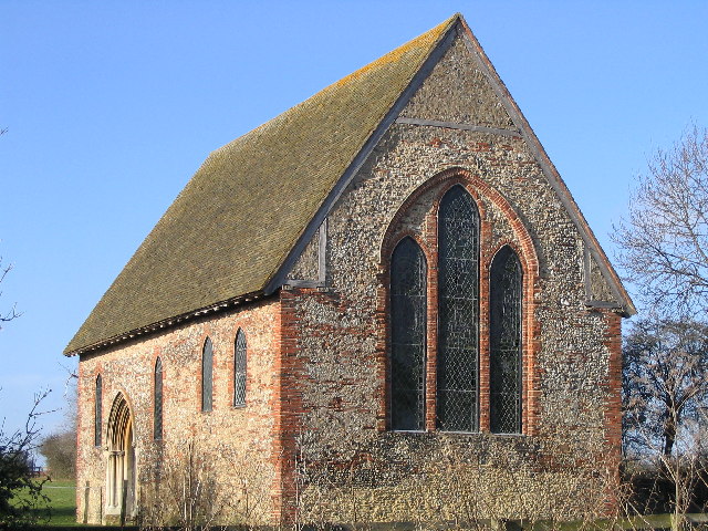
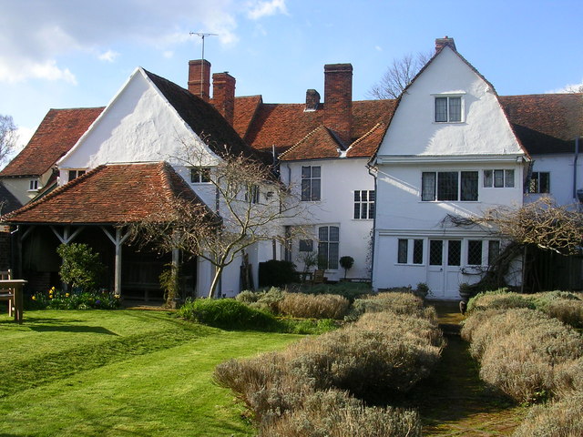
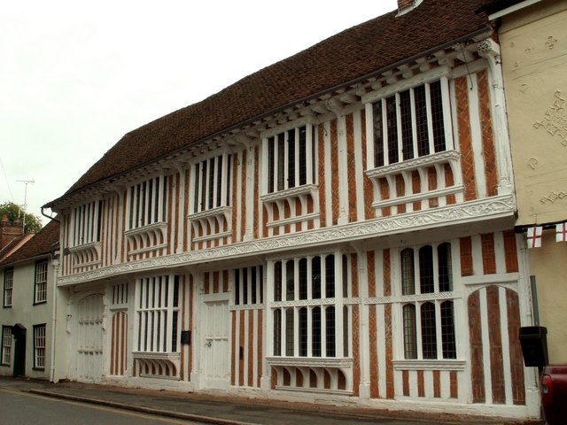
Paycocke's House and Gardens
Paycocke's House and Gardens are a surviving example of a Tudor merchant's house and garden in Coggeshall, Essex, England. The house was built for Thomas...

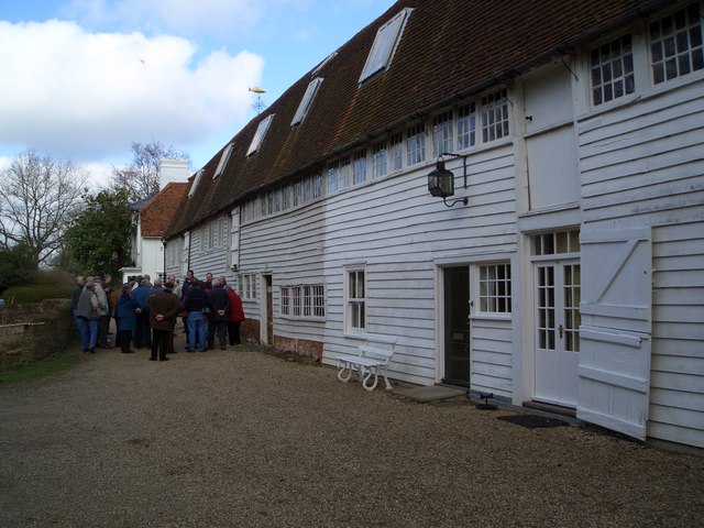
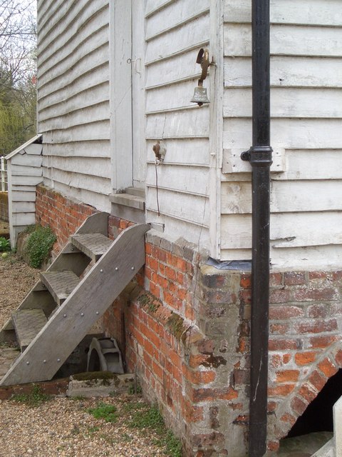
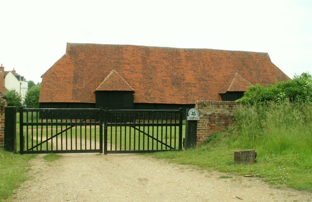
Grange Barn, Coggeshall
Grange Barn is a historic timber-framed building in Coggeshall, Essex, England. Grange Barn was built by the Cistercians in the 13th century to serve Coggeshall...

A120 road
The A120 is an A-road in England, which runs between Puckeridge in Hertfordshire and Harwich in Essex. Along its route, the A120 bypasses the towns of...

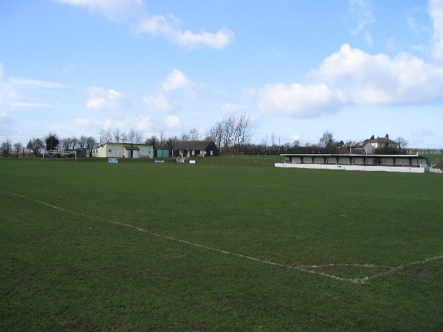
Coggeshall Town F.C.
Coggeshall Town Football Club is a football club based in Coggeshall, Essex, England. The club are currently members of the Essex Senior League and play...
Nearby Amenities
Located within 500m of 51.871996,0.67927309Have you been to Vicarage Field?
Leave your review of Vicarage Field below (or comments, questions and feedback).