Pea Low

Heritage Site in Staffordshire

England

Pea Low

The start of a footpath to Alstonefield A narrow flight of steps leads off a narrow back lane at the start of a footpath, which climbs steeply out of Milldale towards Alstonefield.
The start of a footpath to Alstonefield Credit: Ian Calderwood

The requested URL returned error: 429 Too Many Requests

If you have any feedback on the listing, please let us know in the comments section below.
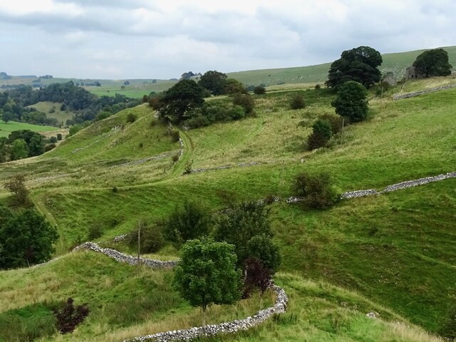
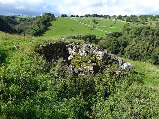
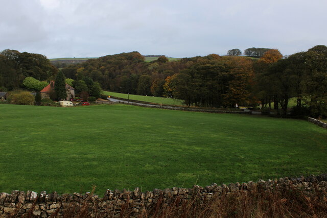
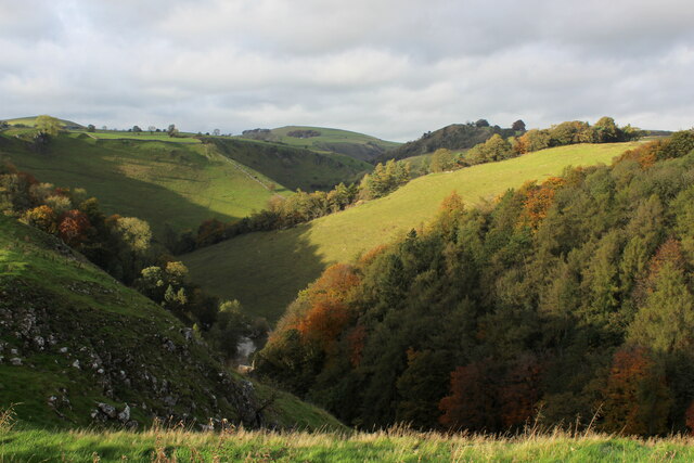
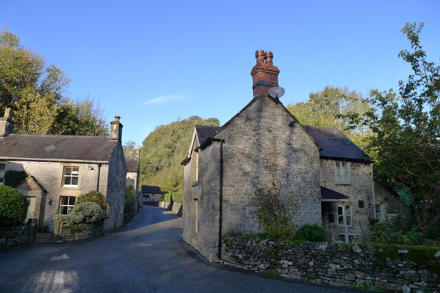
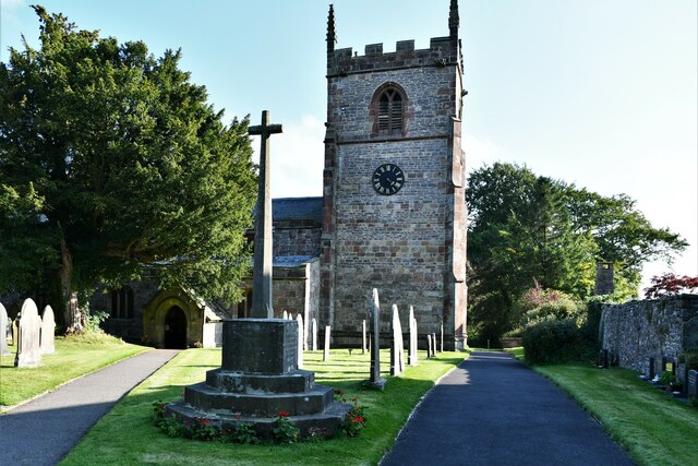
Pea Low Images

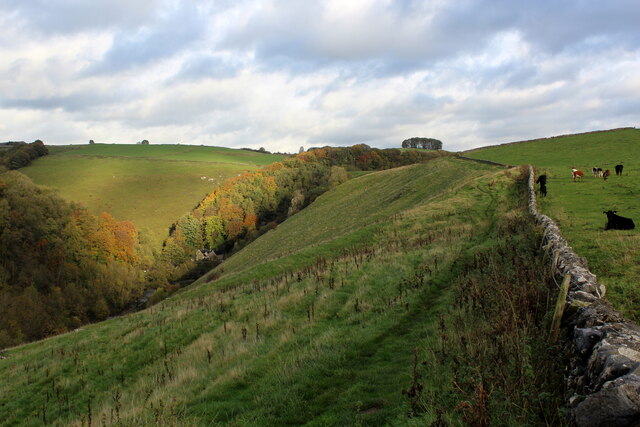
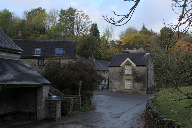
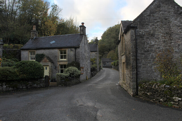
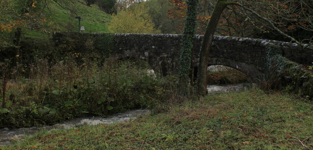
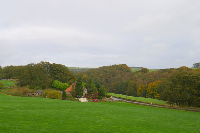
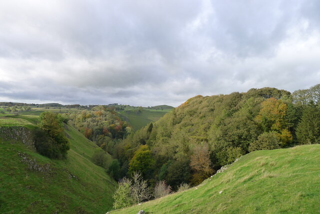
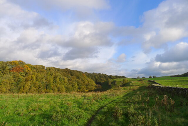
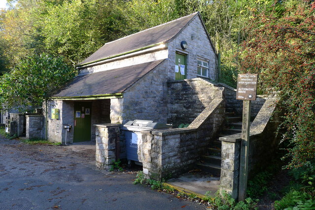
Images are sourced within 2km of 53.105/-1.798 or Grid Reference SK1356. Thanks to Geograph Open Source API. All images are credited.

The start of a footpath to Alstonefield A narrow flight of steps leads off a narrow back lane at the start of a footpath, which climbs steeply out of Milldale towards Alstonefield.
The start of a footpath to Alstonefield
A narrow flight of steps leads off a narrow back lane at the start of a footpath, which climbs steeply out of Milldale towards Alstonefield.
Old dew pond by Millway Lane A neglected dew pond sits dry, neglected and overgrown at the edge of Alstonefield.
Old dew pond by Millway Lane
A neglected dew pond sits dry, neglected and overgrown at the edge of Alstonefield.
Old dew pond by Gratton Lane An old dew pond sits dry and neglected in a field by Gratton Lane.
Old dew pond by Gratton Lane
An old dew pond sits dry and neglected in a field by Gratton Lane.
Negotiating a narrow squeeze stile Some squeeze stiles are much narrower at the bottom than at the top, which is fine for humans but can be problematic for dogs.
Negotiating a narrow squeeze stile
Some squeeze stiles are much narrower at the bottom than at the top, which is fine for humans but can be problematic for dogs.
Farm track climbing out of the dale A narrow track winds its way uphill to some farm buildings
Farm track climbing out of the dale
A narrow track winds its way uphill to some farm buildings
A ruin above Mill Dale The remains of some kind of small building, pen or fold, marked on old OS maps as a plain, unlabelled rectangle.
A ruin above Mill Dale
The remains of some kind of small building, pen or fold, marked on old OS maps as a plain, unlabelled rectangle.
Looking towards Greenlowfield and the A515 As seen from the Tissington Trail, slightly to the north of the former Alsop station.
Looking towards Greenlowfield and the A515
As seen from the Tissington Trail, slightly to the north of the former Alsop station.
View from Above Shining Tor Overlooks the deep trench that is Dovedale
View from Above Shining Tor
Overlooks the deep trench that is Dovedale
Footpath High above Milldale The public footpath follows the wall, with ground falling away sharply to the left towards Milldale
Footpath High above Milldale
The public footpath follows the wall, with ground falling away sharply to the left towards Milldale
Milldale (1) Small village comprising several stone buildings, squeezed deep in the narrow valley of Dovedale - so narrow that sunshine finds difficulty in reaching the community.
Milldale (1)
Small village comprising several stone buildings, squeezed deep in the narrow valley of Dovedale - so narrow that sunshine finds difficulty in reaching the community.
Milldale (2) Delightful small village squeezed tightly between the valley sides of Dovedale - so tightly, that sunshine is at a premium.
A popular walk stretches south from here, running beside the River Dove to the stepping stones near Thorpe.
Milldale (2)
Delightful small village squeezed tightly between the valley sides of Dovedale - so tightly, that sunshine is at a premium. A popular walk stretches south from here, running beside the River Dove to the stepping stones near Thorpe.
Viator's Bridge Ancient packhorse bridge, which has been in use since medieval times. Izaak Walton wrote about this bridge in "The Compleat Angler" - referring to himself as Viator (Latin for traveller), which accounts for the structure's name.
Viator's Bridge
Ancient packhorse bridge, which has been in use since medieval times. Izaak Walton wrote about this bridge in "The Compleat Angler" - referring to himself as Viator (Latin for traveller), which accounts for the structure's name.
Greenlowfield from the Tissington Trail Semi-detached cottages on the A515
Greenlowfield from the Tissington Trail
Semi-detached cottages on the A515
Mill Dale
Mill Dale
The path above Mill Dale After a steep climb up from the village of Milldale, the path here is running east on more level ground towards the A515 and the Tissington Trail
The path above Mill Dale
After a steep climb up from the village of Milldale, the path here is running east on more level ground towards the A515 and the Tissington Trail
Public conveniences, Milldale
Milldale in Mill Dale A small village nestled in steep-sided valleys next to the River Dove. Very popular with walkers, with a large car park further along this road (and just within Staffordshire, the car park is free!)
Milldale in Mill Dale
A small village nestled in steep-sided valleys next to the River Dove. Very popular with walkers, with a large car park further along this road (and just within Staffordshire, the car park is free!)
Alstonefield, St. Peter's Church
Show me another place!

Pea Low is located at Grid Ref: SK1356 (Lat: 53.105, Lng: -1.798)

What 3 Words

///bonds.cries.correctly. Near Newhaven, Derbyshire

Nearby Locations

Pea Low

Related Wikis

Alstonefield

Alstonefield (alternative spelling: Alstonfield) is a village and civil parish in the Peak District National Park and the Staffordshire Moorlands district...

St Peter's Church, Alstonefield

The Church of St Peter in Alstonefield, Staffordshire Moorlands, England is a grade I listed Anglican parish church. The oldest parts are 12th century...

Tissington Trail

The Tissington Trail is a bridleway, footpath and cycleway in Derbyshire, England, along part of the trackbed of the former railway line connecting Ashbourne...

Wolfscote Hill

Wolfscote Hill is a limestone hill near the village of Hartington in the Derbyshire Peak District. The summit is 388 metres (1,273 ft) above sea level...

Nearby Amenities

Located within 500m of 53.105,-1.798
Barrier: stile
Foot: yes
Material: stone
Source: survey;gps
Stile: stepover
Lat/Long: 53.1055653/-1.8023126
Barrier: stile
Foot: yes
Lat/Long: 53.1059319/-1.7931787
Barrier: stile
Material: stone
Source: survey;gps
Stile: squeezer
Lat/Long: 53.1031173/-1.801649
Barrier: stile
Material: stone
Source: survey;gps
Stile: stepover
Lat/Long: 53.1065249/-1.8023523
Fixme: stile or gate?
Lat/Long: 53.1068453/-1.8043098
Barrier: stile
Material: stone
Source: survey;gps
Stile: squeezer
Lat/Long: 53.1016178/-1.8007381
The data included in this document is from www.openstreetmap.org. The data is made available under ODbL.

Have you been to Pea Low?

Leave your review of Pea Low below (or comments, questions and feedback).