Oxygrains Old Bridge
Heritage Site in Yorkshire
England
Oxygrains Old Bridge
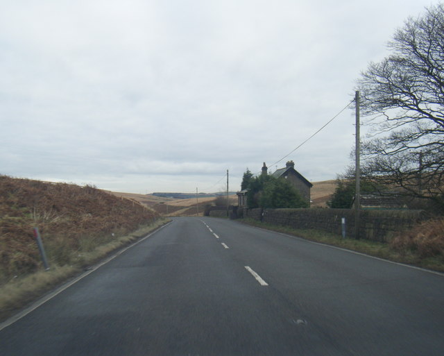
Oxygrains Old Bridge is a significant heritage site located in the picturesque region of Yorkshire, England. This historic bridge holds immense historical and architectural value, attracting visitors from all over the world.
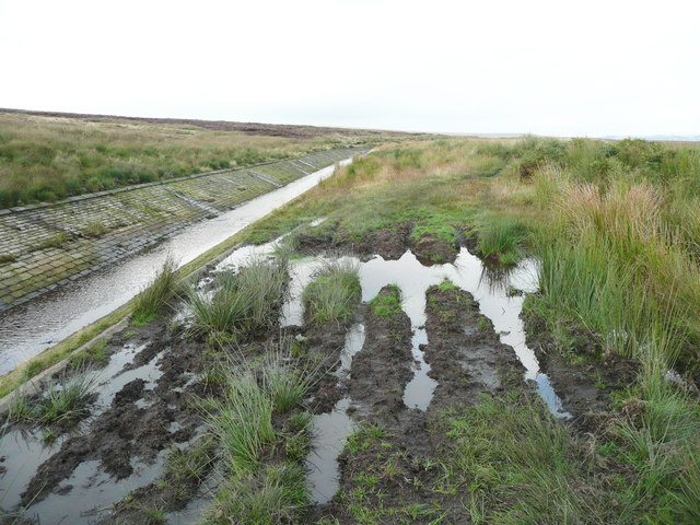
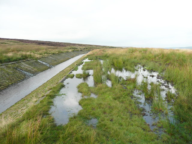
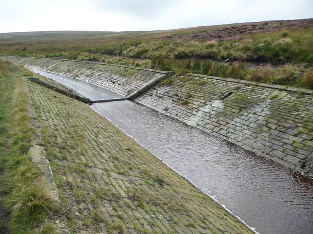
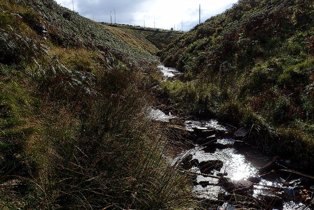
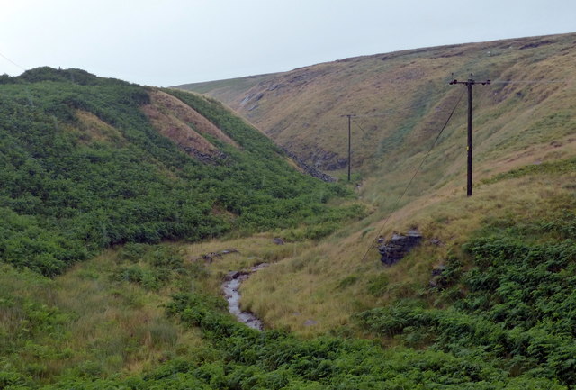
Dating back to the 13th century, Oxygrains Old Bridge is a stone bridge that spans across the Oxygrains River. It was originally constructed to provide a vital transportation link between two communities, and it continues to serve this purpose to this day. The bridge's design reflects the architectural styles prevalent during the medieval period, with its sturdy stone arches and intricate detailing.
The bridge's construction is a testament to the skills and craftsmanship of the builders of that era. It has weathered the test of time, surviving numerous floods and structural challenges. The bridge has undergone several renovations and repairs over the centuries, but its original character and charm have been largely preserved.
Oxygrains Old Bridge is not only admired for its architectural significance but also for its picturesque setting. Surrounded by lush greenery, it offers breathtaking views of the river and the surrounding countryside, making it a popular spot for photographers and nature enthusiasts.
As a heritage site, Oxygrains Old Bridge is well-preserved and maintained by local authorities. It stands as a reminder of the region's rich history and serves as a connection between the past and the present. Visitors to this site can explore the bridge, learn about its history through informational plaques, and appreciate its beauty and historical significance.
If you have any feedback on the listing, please let us know in the comments section below.
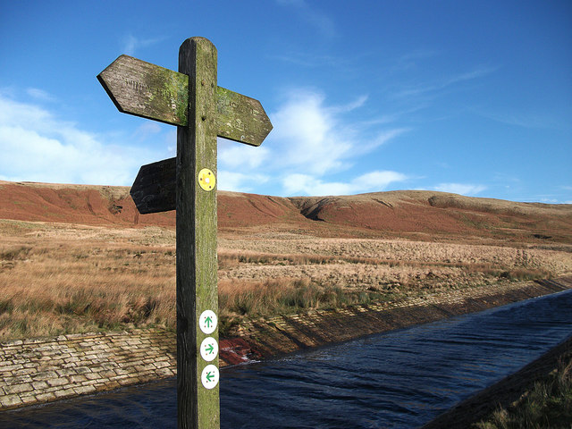
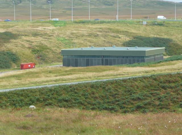
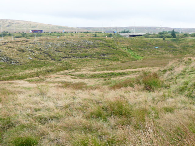
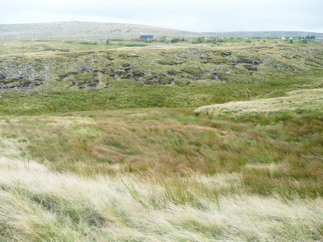
Oxygrains Old Bridge Images
Images are sourced within 2km of 53.635/-1.992 or Grid Reference SE0015. Thanks to Geograph Open Source API. All images are credited.
Oxygrains Old Bridge is located at Grid Ref: SE0015 (Lat: 53.635, Lng: -1.992)
Division: West Riding
Unitary Authority: Calderdale
Police Authority: West Yorkshire
What 3 Words
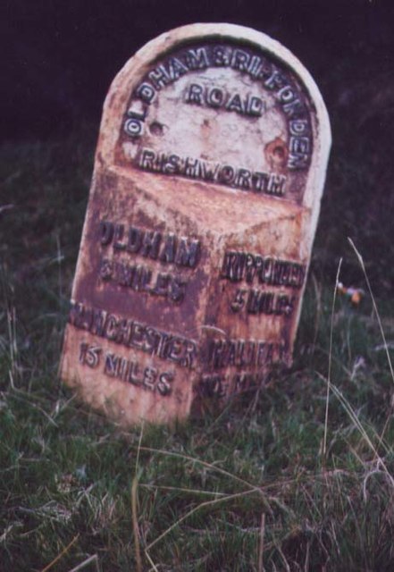
///roadblock.clown.blend. Near Ripponden, West Yorkshire
Nearby Locations
Related Wikis

A640 road
The A640 is a road in England which runs between Rochdale in Greater Manchester and Huddersfield in West Yorkshire. The road's most westbound point as...

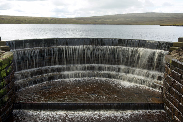
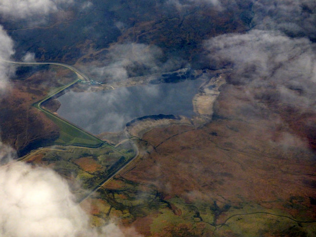
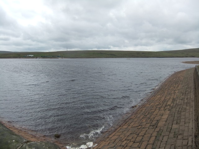
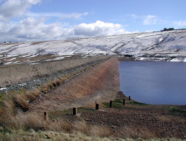
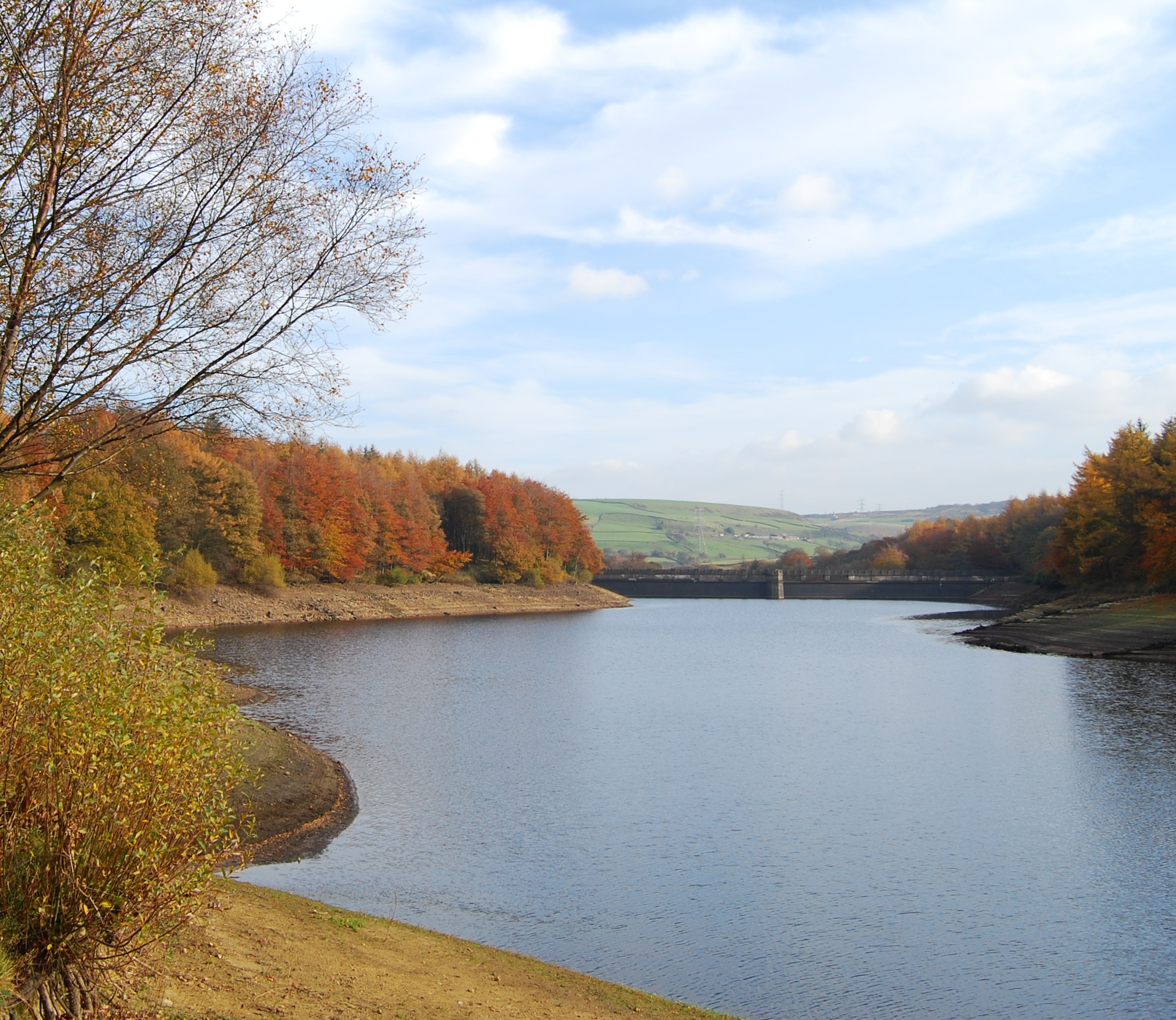
Booth Wood Reservoir
Booth Wood Reservoir is a man-made upland reservoir that lies north of the M62 motorway and south of the A672 road near to Rishworth and Ripponden in Calderdale...

Stott Hall Farm
Stott Hall Farm is a farm located between the eastbound and westbound carriageways of the M62 motorway in Calderdale, England. It is the only farm in the...
Deanhead Reservoir
Deanhead Reservoir is a reservoir near Scammonden, in the metropolitan district of Kirklees, West Yorkshire, England. It is named after Dean Head, a village...

Blackstone Edge
Blackstone Edge ( BLAK-stən) is a gritstone escarpment at 472 metres (1,549 ft) above sea level in the Pennine hills surrounded by moorland on the boundary...
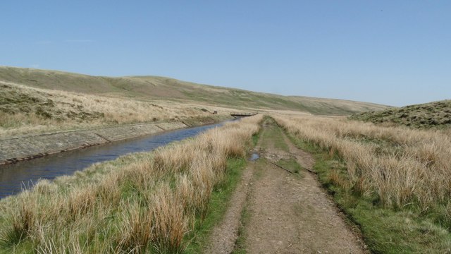
Baitings Reservoir
Baitings Reservoir is a large water supply reservoir operated by Yorkshire Water close to Ripponden in the West Yorkshire Pennines, England. It lies in...
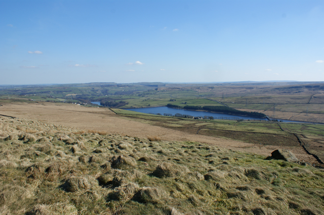
Ryburn Reservoir
Ryburn Reservoir is a supply reservoir operated by Yorkshire Water close to Ripponden in the Yorkshire Pennines, England. It lies in the valley of the...
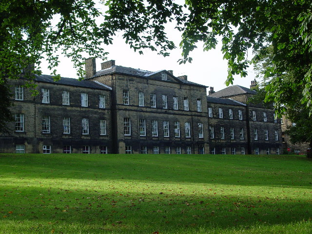
Rishworth School
Rishworth School is a co-educational independent school in the village of Rishworth, near Halifax, in West Yorkshire, England. With Heathfield, its junior...
Related Videos

Hiking The Pennines | #reupload
Hi everyone!! Thanks for stopping by! Today we're hiking The Pennines and enjoying the beautiful scenes!! I Love hiking ...

Hiking in the Peak District, Marsden Moor
Hiking in Marsden Moor, with the drone. Walking in the Peak district #drone #dronephotography #hiking #walking #outdoors ...


GM Ringway route 10 Newhey to Littleborough
Route 10 of the 300km walking route around Greater Manchester. This section starts at Newhey and heads up to Windy Hill, picks ...
Nearby Amenities
Located within 500m of 53.635,-1.992Have you been to Oxygrains Old Bridge?
Leave your review of Oxygrains Old Bridge below (or comments, questions and feedback).