Broad Shaw Clough
Valley in Yorkshire
England
Broad Shaw Clough
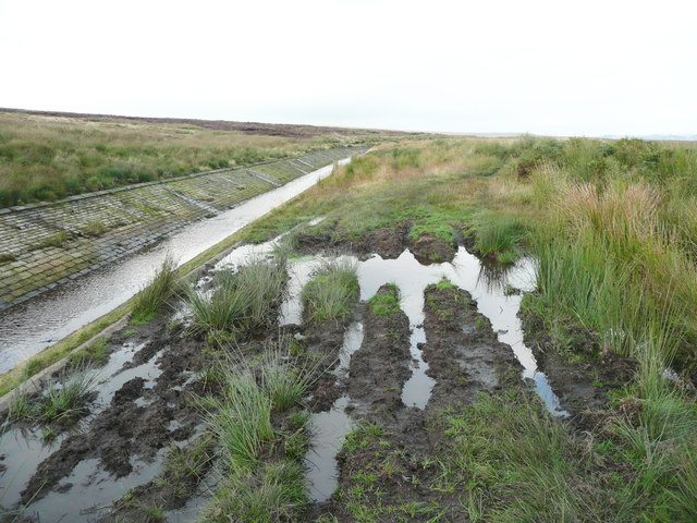
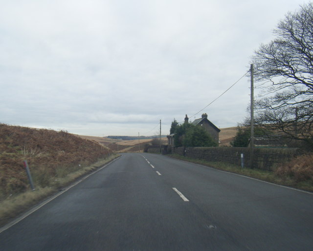
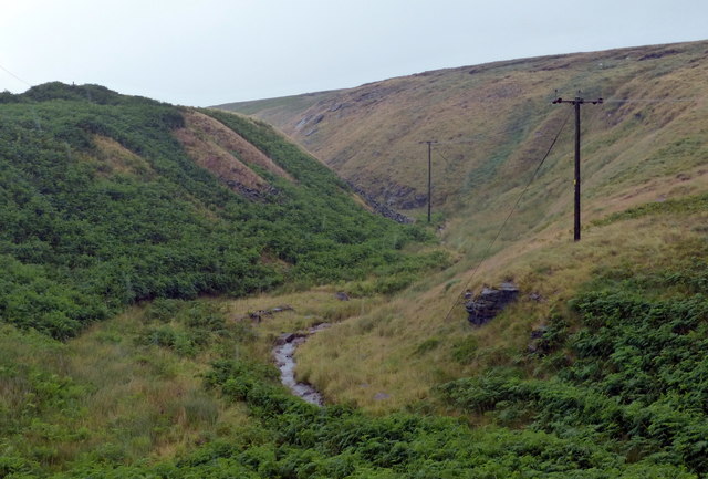
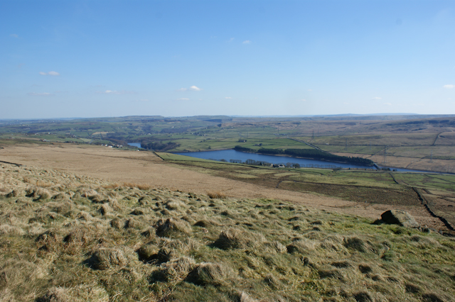
Broad Shaw Clough is a picturesque valley located in the county of Yorkshire, England. Situated amidst the stunning landscape of the Yorkshire Dales, this valley offers visitors a tranquil and idyllic retreat from the hustle and bustle of city life.
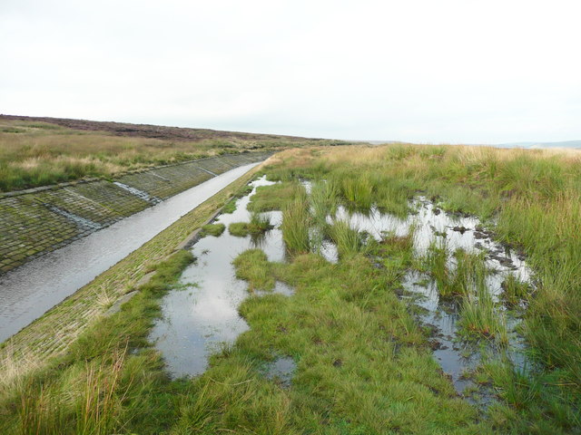
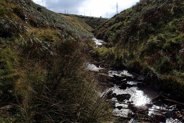
The valley is known for its natural beauty, with rolling green hills, charming meadows, and a meandering stream that runs through it. The area is rich in flora and fauna, with a diverse range of plant species and wildlife that call Broad Shaw Clough their home. Visitors can expect to encounter various species of birds, small mammals, and even the occasional deer or hare.
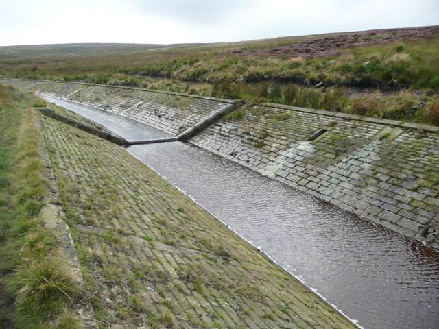
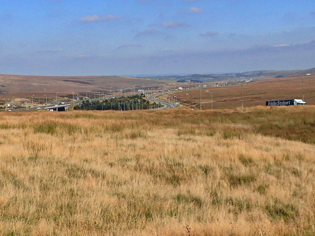
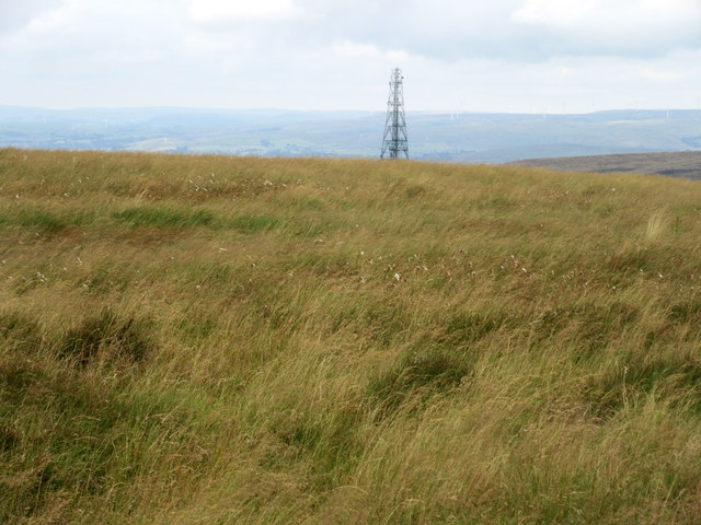
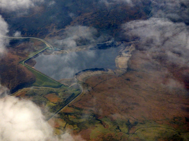
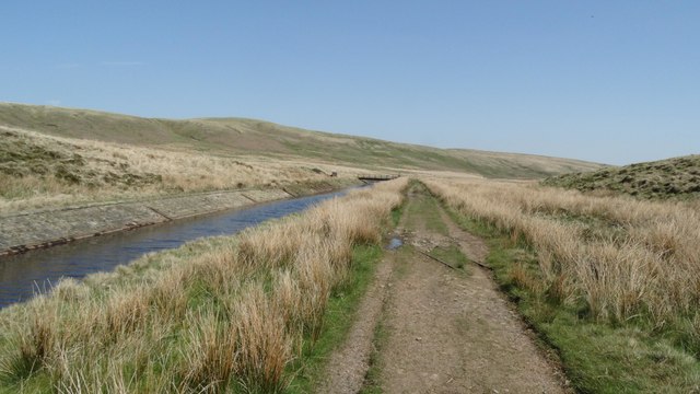
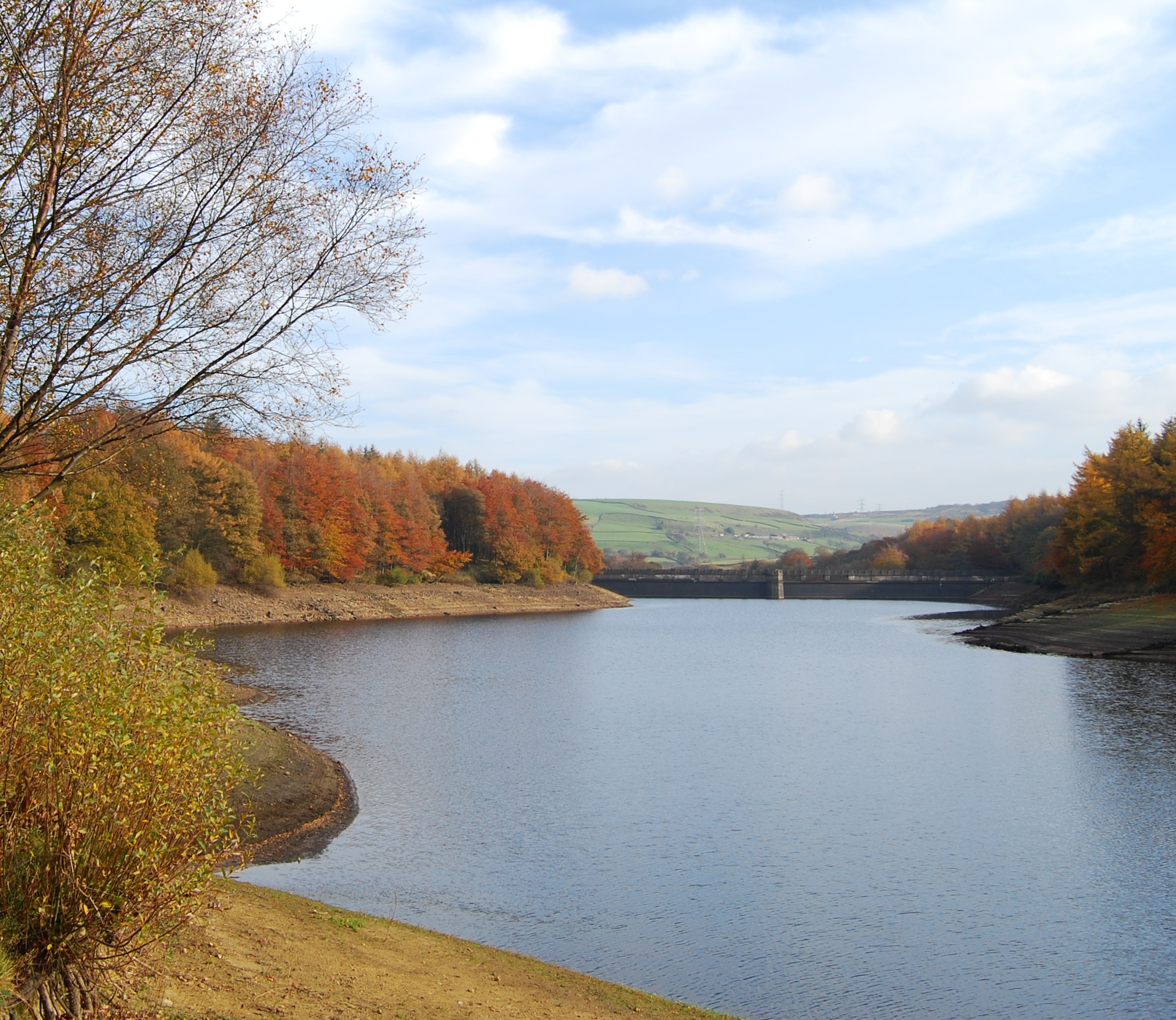
The valley is a popular spot for outdoor enthusiasts, offering an array of activities for visitors to enjoy. Hiking and walking trails crisscross the area, providing breathtaking views of the surrounding countryside. The valley is also a haven for photographers, with its picturesque landscapes and stunning vistas providing endless opportunities for capturing the beauty of nature.
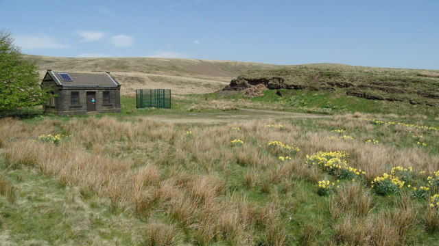
For those seeking a more relaxed experience, there are several picnic spots dotted throughout the valley, allowing visitors to unwind and enjoy a leisurely meal amidst the peaceful surroundings. Additionally, the valley is home to a number of quaint villages and charming pubs, where visitors can indulge in local cuisine and experience the warm hospitality of the Yorkshire locals.
Overall, Broad Shaw Clough is a hidden gem in the heart of Yorkshire, offering visitors a chance to reconnect with nature and experience the beauty of the countryside. Whether seeking adventure or tranquility, this valley has something to offer for everyone.
If you have any feedback on the listing, please let us know in the comments section below.
Broad Shaw Clough Images
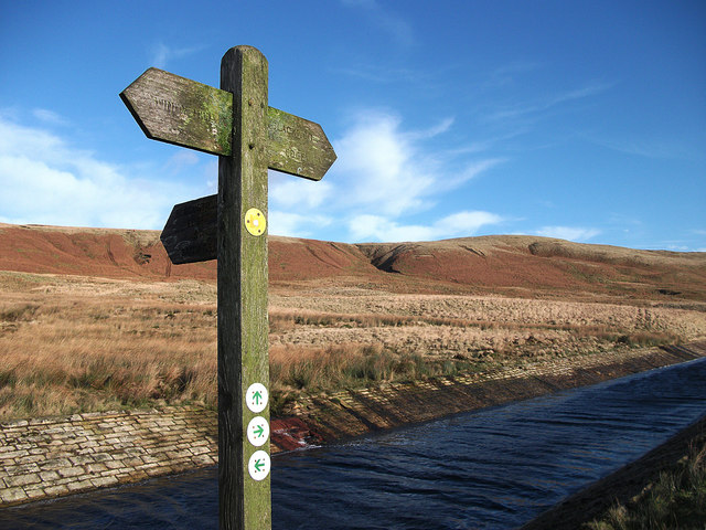
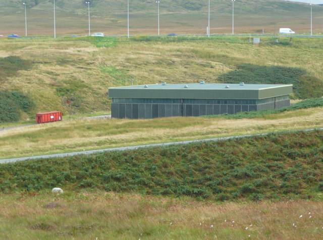
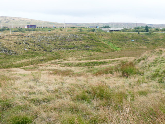
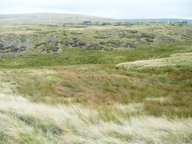
Images are sourced within 2km of 53.634996/-1.9968165 or Grid Reference SE0015. Thanks to Geograph Open Source API. All images are credited.

Broad Shaw Clough is located at Grid Ref: SE0015 (Lat: 53.634996, Lng: -1.9968165)
Division: West Riding
Unitary Authority: Calderdale
Police Authority: West Yorkshire
What 3 Words
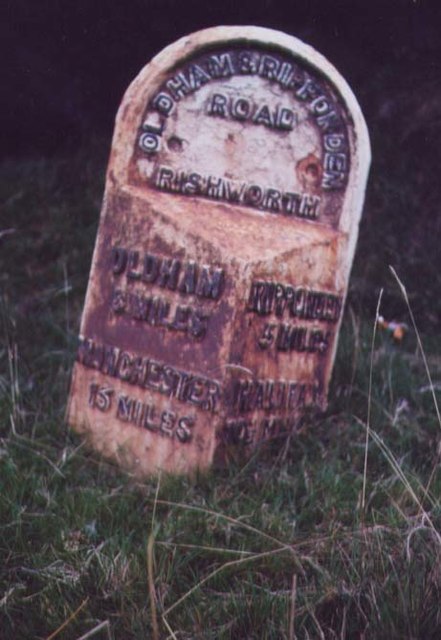
///elbowing.replace.runways. Near Ripponden, West Yorkshire
Nearby Locations
Related Wikis

A640 road
The A640 is a road in England which runs between Rochdale in Greater Manchester and Huddersfield in West Yorkshire. The road's most westbound point as...

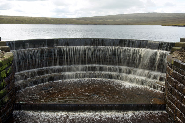
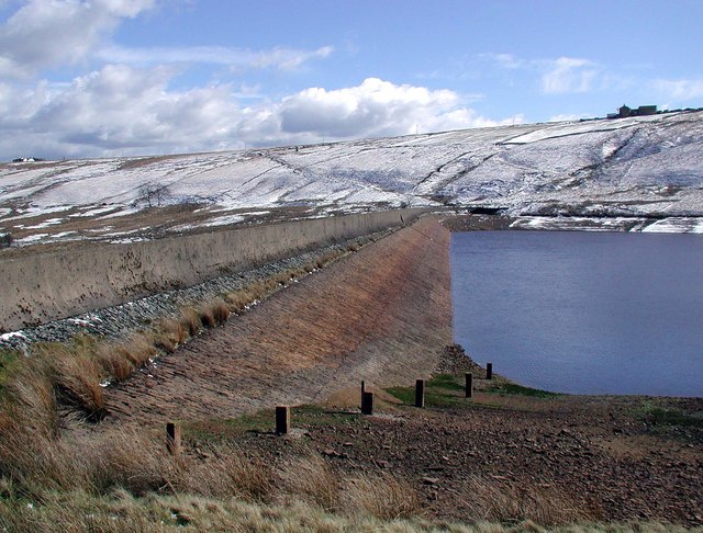
Booth Wood Reservoir
Booth Wood Reservoir is a man-made upland reservoir that lies north of the M62 motorway and south of the A672 road near to Rishworth and Ripponden in Calderdale...

Stott Hall Farm
Stott Hall Farm is a farm located between the eastbound and westbound carriageways of the M62 motorway in Calderdale, England. It is the only farm in the...

Blackstone Edge
Blackstone Edge ( BLAK-stən) is a gritstone escarpment at 472 metres (1,549 ft) above sea level in the Pennine hills surrounded by moorland on the boundary...
Baitings Reservoir
Baitings Reservoir is a large water supply reservoir operated by Yorkshire Water close to Ripponden in the West Yorkshire Pennines, England. It lies in...
Deanhead Reservoir
Deanhead Reservoir is a reservoir near Scammonden, in the metropolitan district of Kirklees, West Yorkshire, England. It is named after Dean Head, a village...
Ryburn Reservoir
Ryburn Reservoir is a supply reservoir operated by Yorkshire Water close to Ripponden in the Yorkshire Pennines, England. It lies in the valley of the...

Norman Hill Reservoir
Norman Hill Reservoir is a reservoir in the Piethorne Valley in the Metropolitan Borough of Rochdale, within Greater Manchester, England. == References ==
Nearby Amenities
Located within 500m of 53.634996,-1.9968165Have you been to Broad Shaw Clough?
Leave your review of Broad Shaw Clough below (or comments, questions and feedback).