Oxted Downs
Heritage Site in Surrey Tandridge
England
Oxted Downs
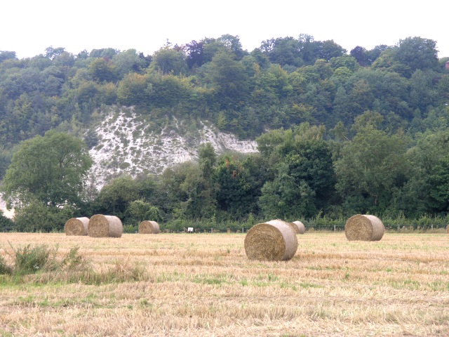
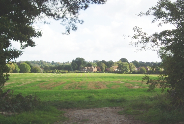
Oxted Downs, located in Surrey, England, is a designated heritage site renowned for its natural beauty and cultural significance. Spanning over 70 hectares, this area of rolling hills, meadows, and woodland offers visitors a tranquil escape from the hustle and bustle of nearby urban areas.
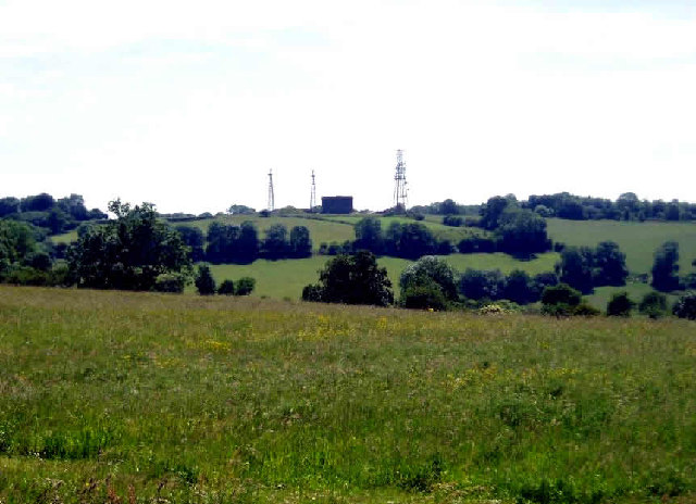
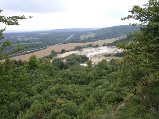
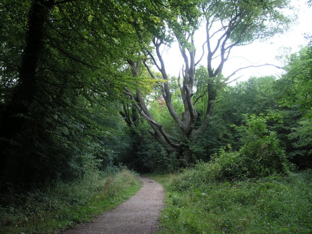
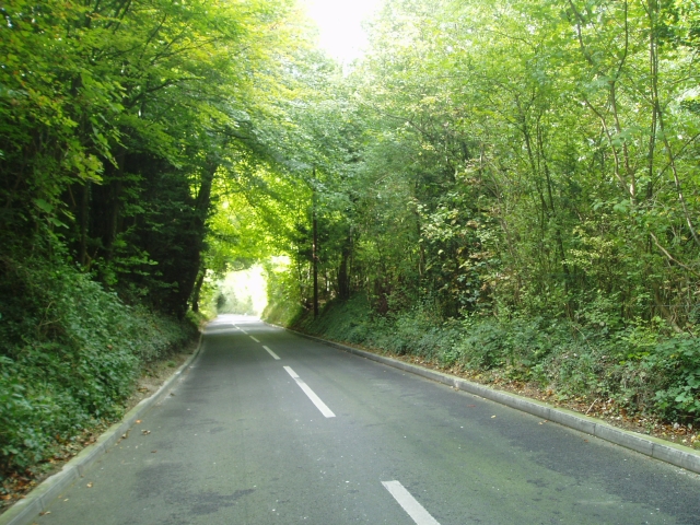
The landscape of Oxted Downs is characterized by its sweeping vistas, with panoramic views stretching as far as the eye can see. The area is home to a diverse range of flora and fauna, including rare species such as the Duke of Burgundy butterfly and the small blue butterfly. These habitats are carefully managed to ensure the preservation of the area's ecological balance.
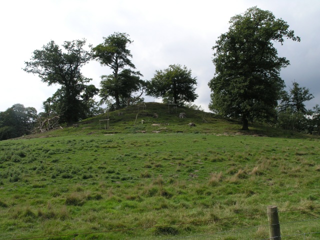
In addition to its natural beauty, Oxted Downs has a rich historical and cultural heritage. The site boasts several Bronze Age barrows, providing insights into the area's ancient past. These burial mounds are a testament to the long-standing human presence in the region.
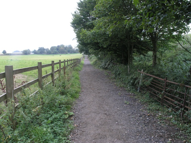
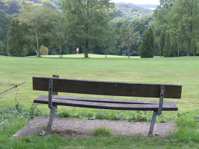
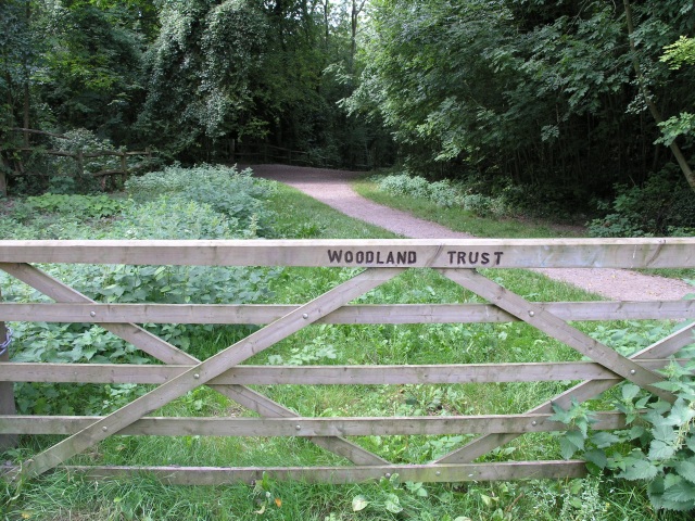
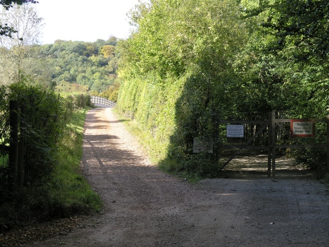
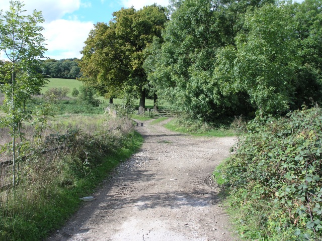
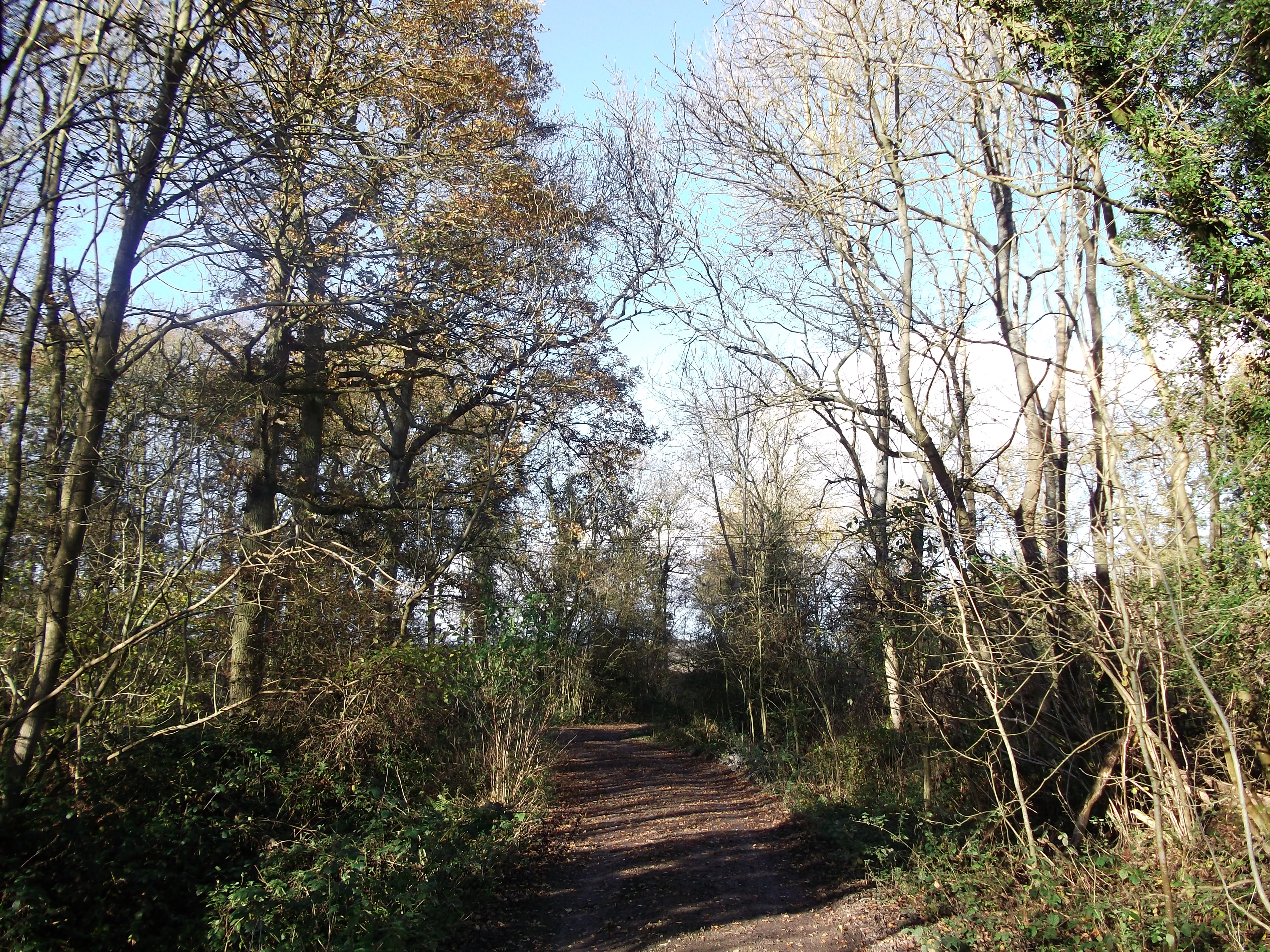
The downs have been enjoyed by locals and visitors alike for centuries, with numerous footpaths and bridleways crisscrossing the area. These pathways offer opportunities for leisurely walks, horseback riding, and cycling, allowing visitors to fully immerse themselves in the stunning surroundings.
Oxted Downs is also a popular spot for picnicking and outdoor activities. Families often gather here to enjoy the open spaces and fresh air, making use of the well-maintained facilities provided.
Overall, Oxted Downs is a cherished heritage site that combines natural beauty, historical significance, and recreational opportunities. It continues to be a beloved destination for nature enthusiasts, history buffs, and those seeking a peaceful retreat in the heart of Surrey.
If you have any feedback on the listing, please let us know in the comments section below.
Oxted Downs Images
Images are sourced within 2km of 51.267/-0.032 or Grid Reference TQ3753. Thanks to Geograph Open Source API. All images are credited.


Oxted Downs is located at Grid Ref: TQ3753 (Lat: 51.267, Lng: -0.032)
Administrative County: Surrey
District: Tandridge
Police Authority: Surrey
What 3 Words
///rich.precautions.adults. Near Oxted, Surrey
Nearby Locations
Related Wikis
Titsey Woods
Titsey Woods is a 45.3-hectare (112-acre) biological Site of Special Scientific Interest north-west of Oxted in Surrey.This site is composed of wet semi...

Woldingham and Oxted Downs
Woldingham and Oxted Downs is a 128.4-hectare (317-acre) biological Site of Special Scientific Interest east of Caterham in Surrey.This sloping site on...

Barrow Green Court
Barrow Green Court is a Grade I listed house near Oxted, Surrey, England.The house was built in the early-17th century, with mid-18th century alterations...

Woldingham School
Woldingham School is an independent boarding and day school for girls, located in the former Marden Park of 700 acres (280 ha) outside the village of Woldingham...

Hill Park, Tatsfield
Hill Park, Tatsfield is a 24.5-hectare (61-acre) Local Nature Reserve south of Tatsfield in Surrey. It is owned by Surrey County Council and managed by...

All Saints Church, Oxted
All Saints Church is a Roman Catholic Parish church in Oxted, Surrey. Building work on the church started in 1913 and was delayed by World War I. Aspects...
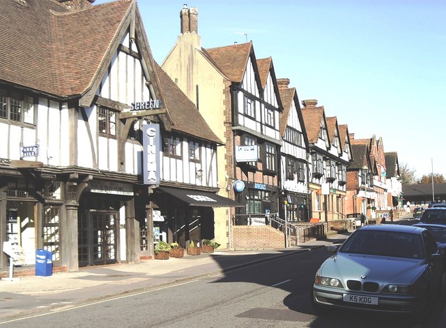
Oxted
Oxted is a town and civil parish in the Tandridge district of Surrey, England, at the foot of the North Downs. It is 9 miles (14 km) south south-east of...
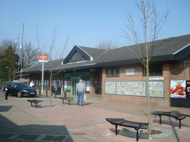
Oxted railway station
Oxted railway station is on the Oxted line in southern England, serving the commuter town of Oxted, Surrey. It is 20 miles 25 chains (20.31 miles, 32.69...
Related Videos

Woldingham Circular via Titsey Place: Unforgettable Hike Around London | UK Hiking Experience 🇬🇧
Immerse yourself in the tranquillity of nature as we venture on the Woldingham Circular via Titsey Place, one of the most scenic ...
Marden Park And Greensand Way The North Downs | | 🇬🇧 Hiking UK | England Drone 4k | Saturday Walk
Close to London, this walk combines stretches of both The North Downs Way, and the Greensand Way. Main Walk: 16¾ km (10.4 ...

The Secrets of North Downs Revealed: Explore Marden Park and Greensand Way
Join us on a thrilling hike through Marden Park and Greensand Way in the North Downs of England, and experience the ...
Country Walking: Oxted Circular, Surrey. 18/11/22
A very decent offering from 'Country Walking' magazine. This one being a 9 mile circular of Oxted, Surrey, on a pleasant autumnal ...
Nearby Amenities
Located within 500m of 51.267,-0.032Have you been to Oxted Downs?
Leave your review of Oxted Downs below (or comments, questions and feedback).