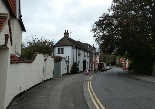
Ockford Road Godalming
Heritage Site in Surrey Waverley
England
Ockford Road Godalming
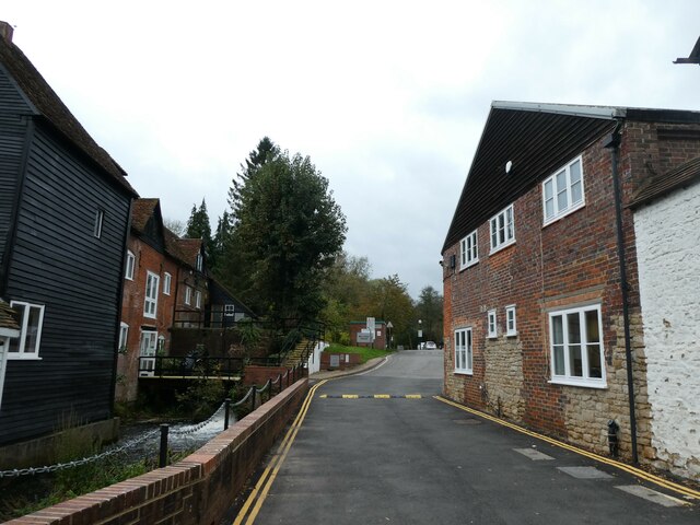
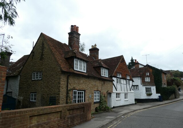
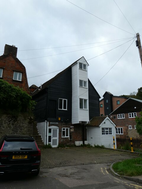
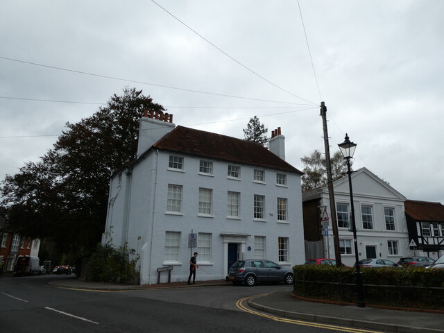
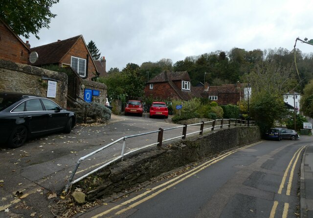
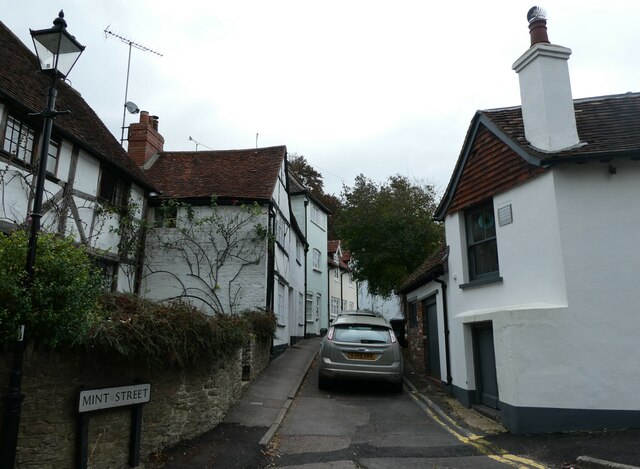
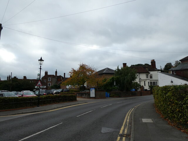
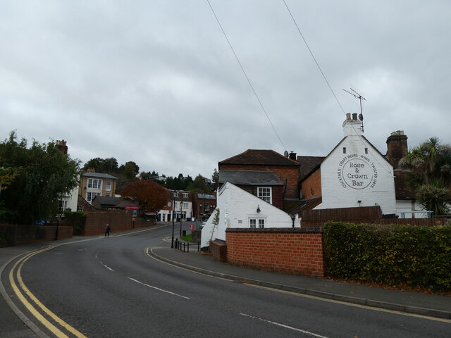
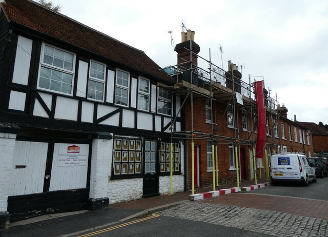
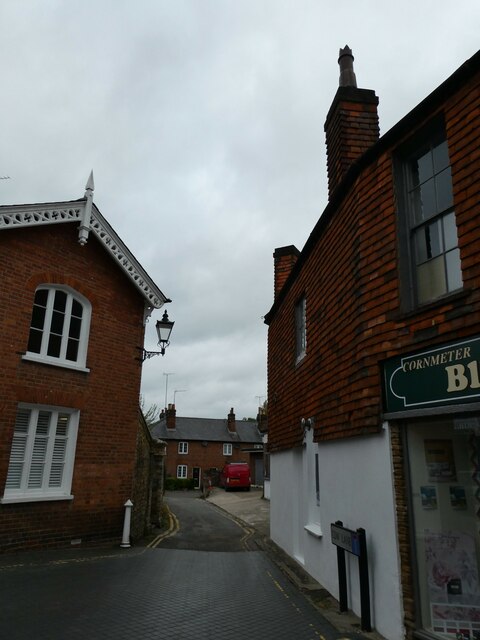
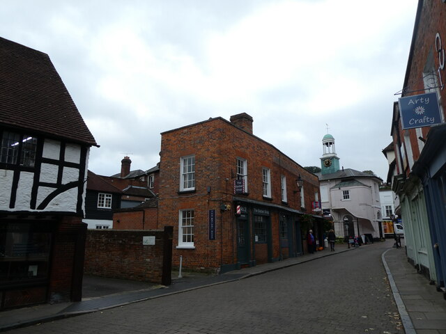
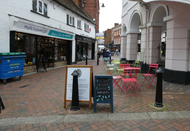
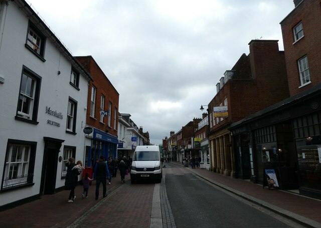
Ockford Road in Godalming, Surrey, is a historic and picturesque street that holds significant cultural and architectural value, making it a notable heritage site. Located in the heart of Godalming, a charming market town in the southeast of England, Ockford Road is known for its well-preserved and diverse architectural styles, spanning several centuries.
The road features an array of stunning properties, ranging from elegant Georgian townhouses to quaint Victorian cottages, showcasing the evolution of architectural trends throughout history. The buildings' unique features, such as decorative facades, ornate detailing, and charming bay windows, provide a glimpse into the past and contribute to the street's undeniable charm.
Ockford Road also boasts a rich historical background. It was once a bustling hub of the town's textile industry during the 19th century, with several mills and workshops operating along the road. Today, remnants of this industrial heritage can still be seen in the form of converted warehouses and former mill buildings, adding an intriguing layer of history to the street.
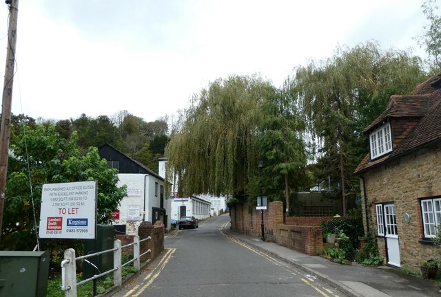
In addition to its architectural and historical significance, Ockford Road offers a vibrant and inviting atmosphere. Lined with well-tended gardens, leafy trees, and charming street lamps, it provides a picturesque setting for residents and visitors alike. The road is often praised for its sense of community, with a range of local amenities, including shops, cafes, and traditional pubs, contributing to the area's liveliness.
Overall, Ockford Road in Godalming, Surrey, stands as a testament to the town's rich heritage and architectural legacy. Its well-preserved buildings, historical significance, and inviting atmosphere make it a cherished heritage site and a delightful destination for history enthusiasts and visitors seeking a glimpse into the town's past.
If you have any feedback on the listing, please let us know in the comments section below.
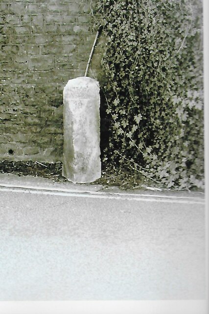
Ockford Road Godalming Images
Images are sourced within 2km of 51.182/-0.622 or Grid Reference SU9643. Thanks to Geograph Open Source API. All images are credited.
Ockford Road Godalming is located at Grid Ref: SU9643 (Lat: 51.182, Lng: -0.622)
Administrative County: Surrey
District: Waverley
Police Authority: Surrey
What 3 Words
///work.order.green. Near Godalming, Surrey
Nearby Locations
Related Wikis

Borough of Waverley
The Borough of Waverley is a local government district with borough status in Surrey, England. The council is based in the town of Godalming. The borough...

St Edmund Church, Godalming
St Edmund's Church (in full, The Church of St Edmund King and Martyr) is the Roman Catholic parish church of Godalming, a town in the English county of...

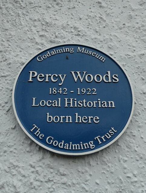
Godalming Museum
Godalming Museum is a local museum in the town of Godalming, Surrey, England.The museum covers the local history of the town and the surrounding area....
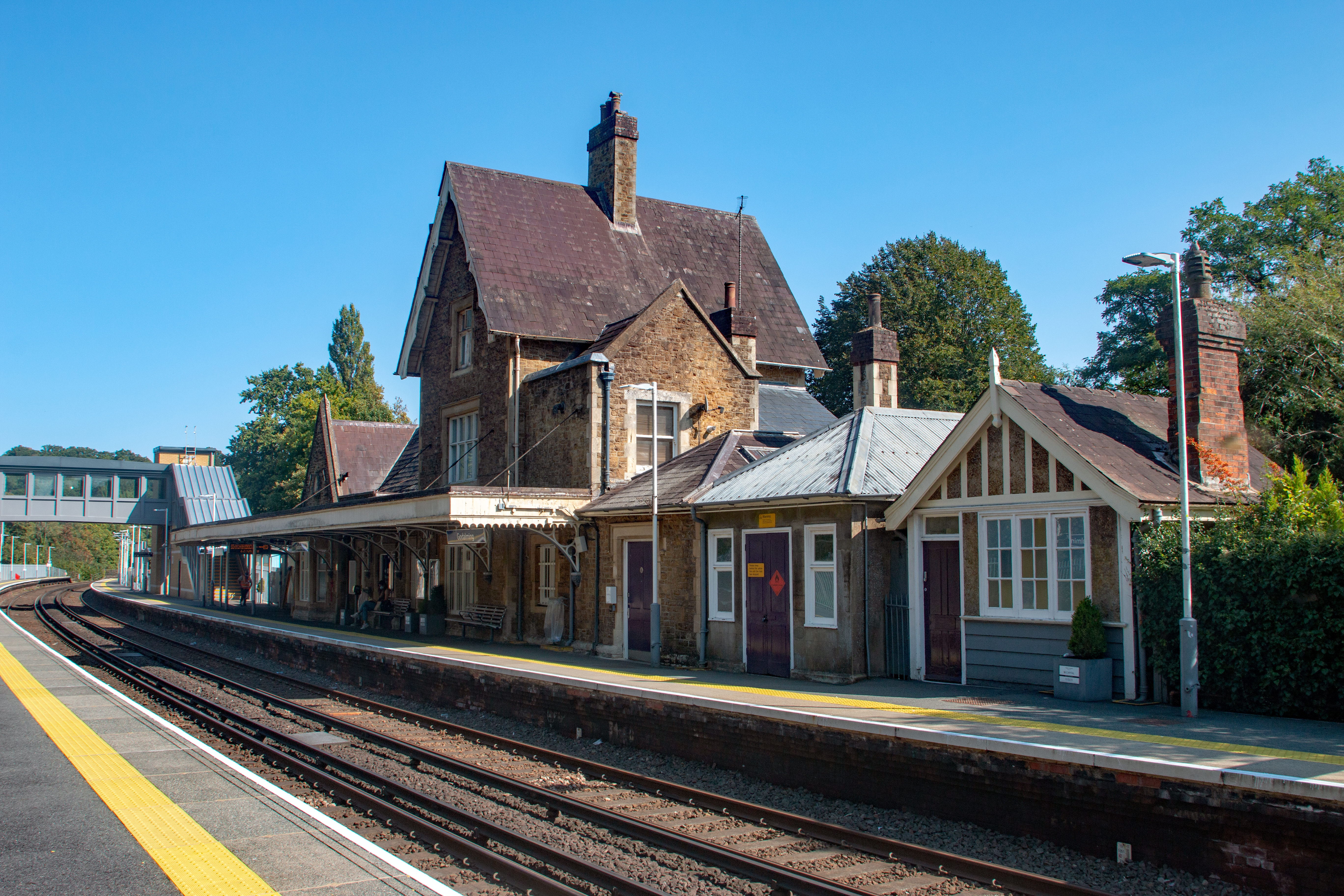
Godalming railway station
Godalming railway station is a stop on the Portsmouth Direct Line, 34 miles 37 chains (55.5 km) down the line from London Waterloo. The station, opened...

Godalming
Godalming is a market town and civil parish in southwest Surrey, England, around 30 miles (49 km) southwest of central London. It is in the Borough of...

Godalming College
Godalming College is a sixth form college, situated in Godalming, 31 miles (50 km) south-west of London and five miles from Guildford, Surrey. The college...

Church of St Peter & St Paul, Godalming
The Church of St. Peter and St. Paul is a parish church of the Church of England in Godalming, Surrey. The parish is mostly urban and excludes rural outskirts...

River Ock, Surrey
The River Ock is a tributary of the River Wey in Surrey, England. == Course == The river has two great sources in the west of Hambledon and two similar...
Nearby Amenities
Located within 500m of 51.182,-0.622Have you been to Ockford Road Godalming?
Leave your review of Ockford Road Godalming below (or comments, questions and feedback).