Ockford Wood

Wood, Forest in Surrey Waverley

England

Ockford Wood

Old Milestone, was on the A3100 (was A3), Ockford Road The milestone was located on the narrow strip of tarmac between road and stone wall, on the East side of the road, opposite no. 108. Parish of Godalming (Waverley district). Carved stone post, Guildford facets design, erected by the Kingston & Sheetbridge, 1st District trust in the 18th century. 

Inscription was unreadable.

The milestone was destroyed by a lorry sometime before 2005. The image was taken before 2001.

Milestone Society National ID: SY_LP32
Old Milestone, was on the A3100 (was A3), Ockford Road Credit: Lionel Joseph

Ockford Wood is a picturesque forest located in Surrey, England. Covering an area of approximately 100 acres, it is a significant natural landscape in the region. The wood is predominantly composed of deciduous trees, including oak, beech, and birch, creating a diverse and vibrant environment.

One of the notable features of Ockford Wood is its rich biodiversity. The forest serves as a habitat for a wide range of wildlife, including various bird species, mammals such as deer and squirrels, and numerous insects. This diversity attracts nature enthusiasts and birdwatchers who appreciate the tranquility and natural beauty of the wood.

The forest is crisscrossed by many winding trails, enabling visitors to explore its wonders and enjoy leisurely walks. The paths are well-maintained, making it accessible for people of all ages. The wood also offers opportunities for outdoor activities such as jogging, cycling, and picnicking.

Ockford Wood is a popular destination for those seeking a peaceful retreat from the bustling city life. Its serene atmosphere, coupled with the gentle rustling of leaves and the occasional chirping of birds, provides a tranquil environment that allows visitors to unwind and reconnect with nature.

The wood is easily accessible and conveniently located near the town of Godalming. Its proximity to urban areas makes it a favorite spot for residents and visitors alike. Ockford Wood truly embodies the essence of Surrey's natural beauty and serves as a reminder of the importance of preserving and appreciating the natural world.

If you have any feedback on the listing, please let us know in the comments section below.
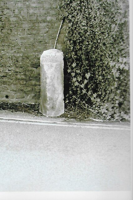
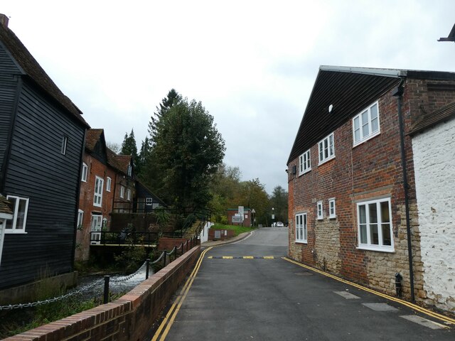
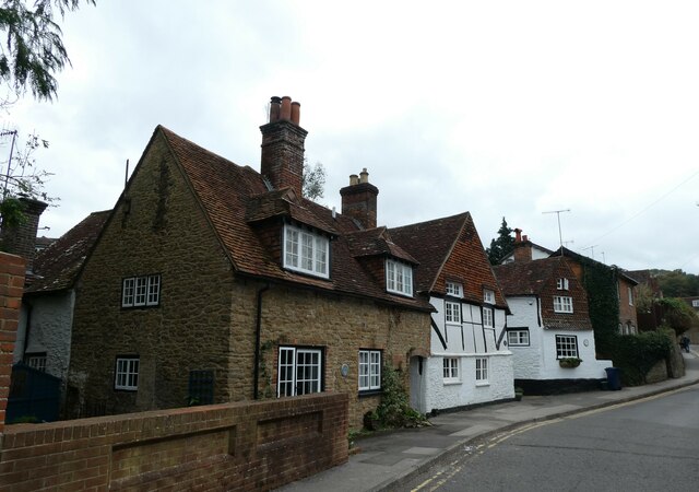
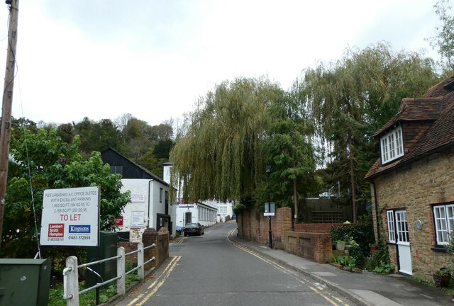
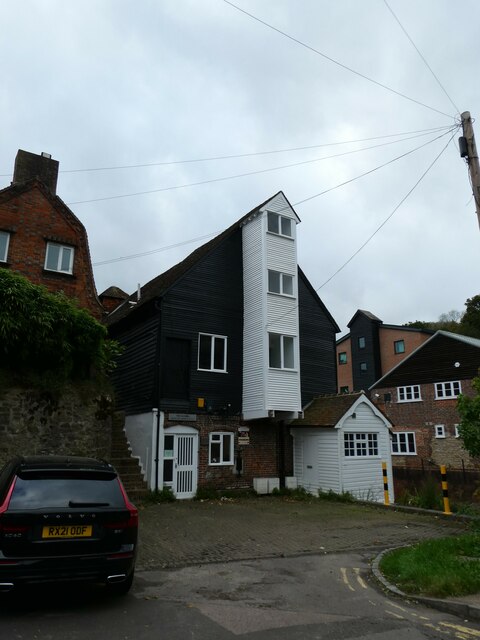
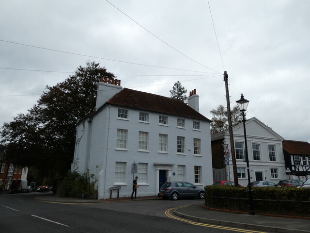
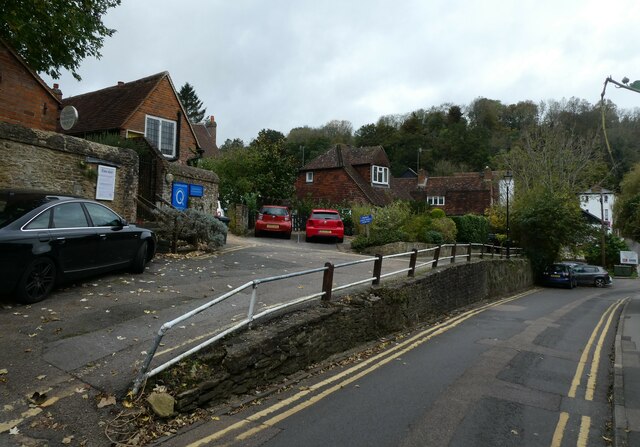
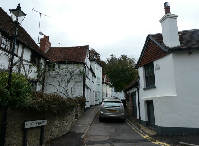
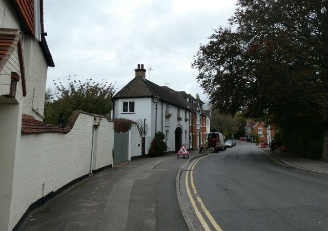
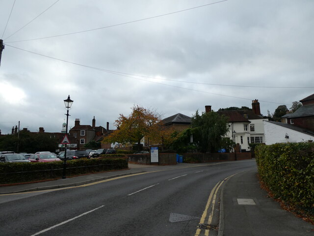
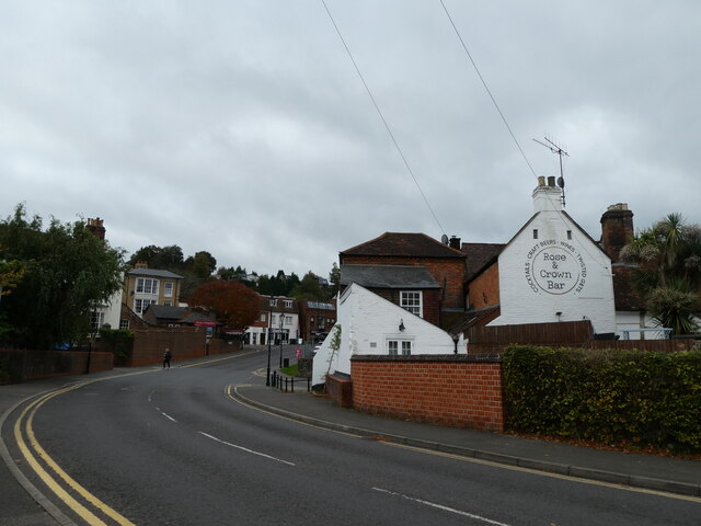
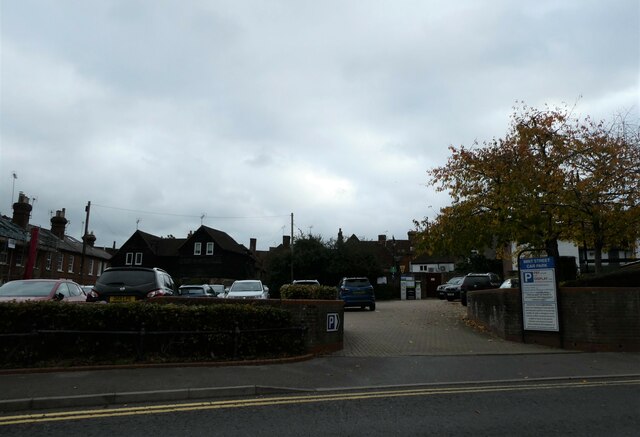
Ockford Wood Images

Images are sourced within 2km of 51.18142/-0.62544073 or Grid Reference SU9643. Thanks to Geograph Open Source API. All images are credited.

Old Milestone, was on the A3100 (was A3), Ockford Road The milestone was located on the narrow strip of tarmac between road and stone wall, on the East side of the road, opposite no. 108. Parish of Godalming (Waverley district). Carved stone post, Guildford facets design, erected by the Kingston & Sheetbridge, 1st District trust in the 18th century. 

Inscription was unreadable.

The milestone was destroyed by a lorry sometime before 2005. The image was taken before 2001.

Milestone Society National ID: SY_LP32
Old Milestone, was on the A3100 (was A3), Ockford Road
The milestone was located on the narrow strip of tarmac between road and stone wall, on the East side of the road, opposite no. 108. Parish of Godalming (Waverley district). Carved stone post, Guildford facets design, erected by the Kingston & Sheetbridge, 1st District trust in the 18th century. Inscription was unreadable. The milestone was destroyed by a lorry sometime before 2005. The image was taken before 2001. Milestone Society National ID: SY_LP32
Looking from Mill Lane towards Mill Pool House Godalming  is a historic market town, civil parish and administrative centre, 4 miles  SSW of Guildford. It is located on the banks of the River Wey in a hilly, heavily wooded part of the London commuter belt and Green Belt.
Godalming is regarded as an expensive residential town, partly due to its visual appeal and good transport links. In recent years it has been ranked the UK's third most desirable property hotspot, voted the fourth best area of the UK in which to live and judged in 2013 to have the highest quality of life in Great Britain.
Wikipedia: <span class="nowrap"><a title="http://en.wikipedia.org/wiki/Godalming" rel="nofollow ugc noopener" href="http://en.wikipedia.org/wiki/Godalming">Link</a><img style="margin-left:2px;" alt="External link" title="External link - shift click to open in new window" src="https://s1.geograph.org.uk/img/external.png" width="10" height="10"/></span>
Looking from Mill Lane towards Mill Pool House
Godalming is a historic market town, civil parish and administrative centre, 4 miles SSW of Guildford. It is located on the banks of the River Wey in a hilly, heavily wooded part of the London commuter belt and Green Belt. Godalming is regarded as an expensive residential town, partly due to its visual appeal and good transport links. In recent years it has been ranked the UK's third most desirable property hotspot, voted the fourth best area of the UK in which to live and judged in 2013 to have the highest quality of life in Great Britain. Wikipedia: LinkExternal link
Houses in Mill Lane Godalming  is a historic market town, civil parish and administrative centre, 4 miles  SSW of Guildford. It is located on the banks of the River Wey in a hilly, heavily wooded part of the London commuter belt and Green Belt.
Godalming is regarded as an expensive residential town, partly due to its visual appeal and good transport links. In recent years it has been ranked the UK's third most desirable property hotspot, voted the fourth best area of the UK in which to live and judged in 2013 to have the highest quality of life in Great Britain.
Wikipedia: <span class="nowrap"><a title="http://en.wikipedia.org/wiki/Godalming" rel="nofollow ugc noopener" href="http://en.wikipedia.org/wiki/Godalming">Link</a><img style="margin-left:2px;" alt="External link" title="External link - shift click to open in new window" src="https://s1.geograph.org.uk/img/external.png" width="10" height="10"/></span>
Houses in Mill Lane
Godalming is a historic market town, civil parish and administrative centre, 4 miles SSW of Guildford. It is located on the banks of the River Wey in a hilly, heavily wooded part of the London commuter belt and Green Belt. Godalming is regarded as an expensive residential town, partly due to its visual appeal and good transport links. In recent years it has been ranked the UK's third most desirable property hotspot, voted the fourth best area of the UK in which to live and judged in 2013 to have the highest quality of life in Great Britain. Wikipedia: LinkExternal link
Looking north-west along Mill Lane Godalming  is a historic market town, civil parish and administrative centre, 4 miles  SSW of Guildford. It is located on the banks of the River Wey in a hilly, heavily wooded part of the London commuter belt and Green Belt.
Godalming is regarded as an expensive residential town, partly due to its visual appeal and good transport links. In recent years it has been ranked the UK's third most desirable property hotspot, voted the fourth best area of the UK in which to live and judged in 2013 to have the highest quality of life in Great Britain.
Wikipedia: <span class="nowrap"><a title="http://en.wikipedia.org/wiki/Godalming" rel="nofollow ugc noopener" href="http://en.wikipedia.org/wiki/Godalming">Link</a><img style="margin-left:2px;" alt="External link" title="External link - shift click to open in new window" src="https://s1.geograph.org.uk/img/external.png" width="10" height="10"/></span>
Looking north-west along Mill Lane
Godalming is a historic market town, civil parish and administrative centre, 4 miles SSW of Guildford. It is located on the banks of the River Wey in a hilly, heavily wooded part of the London commuter belt and Green Belt. Godalming is regarded as an expensive residential town, partly due to its visual appeal and good transport links. In recent years it has been ranked the UK's third most desirable property hotspot, voted the fourth best area of the UK in which to live and judged in 2013 to have the highest quality of life in Great Britain. Wikipedia: LinkExternal link
The Old Mill, Mill Lane Godalming  is a historic market town, civil parish and administrative centre, 4 miles  SSW of Guildford. It is located on the banks of the River Wey in a hilly, heavily wooded part of the London commuter belt and Green Belt.
Godalming is regarded as an expensive residential town, partly due to its visual appeal and good transport links. In recent years it has been ranked the UK's third most desirable property hotspot, voted the fourth best area of the UK in which to live and judged in 2013 to have the highest quality of life in Great Britain.
Wikipedia: <span class="nowrap"><a title="http://en.wikipedia.org/wiki/Godalming" rel="nofollow ugc noopener" href="http://en.wikipedia.org/wiki/Godalming">Link</a><img style="margin-left:2px;" alt="External link" title="External link - shift click to open in new window" src="https://s1.geograph.org.uk/img/external.png" width="10" height="10"/></span>
The Old Mill, Mill Lane
Godalming is a historic market town, civil parish and administrative centre, 4 miles SSW of Guildford. It is located on the banks of the River Wey in a hilly, heavily wooded part of the London commuter belt and Green Belt. Godalming is regarded as an expensive residential town, partly due to its visual appeal and good transport links. In recent years it has been ranked the UK's third most desirable property hotspot, voted the fourth best area of the UK in which to live and judged in 2013 to have the highest quality of life in Great Britain. Wikipedia: LinkExternal link
Junction of Mill Lane and Mint Street Godalming  is a historic market town, civil parish and administrative centre, 4 miles  SSW of Guildford. It is located on the banks of the River Wey in a hilly, heavily wooded part of the London commuter belt and Green Belt.
Godalming is regarded as an expensive residential town, partly due to its visual appeal and good transport links. In recent years it has been ranked the UK's third most desirable property hotspot, voted the fourth best area of the UK in which to live and judged in 2013 to have the highest quality of life in Great Britain.
Wikipedia: <span class="nowrap"><a title="http://en.wikipedia.org/wiki/Godalming" rel="nofollow ugc noopener" href="http://en.wikipedia.org/wiki/Godalming">Link</a><img style="margin-left:2px;" alt="External link" title="External link - shift click to open in new window" src="https://s1.geograph.org.uk/img/external.png" width="10" height="10"/></span>
Junction of Mill Lane and Mint Street
Godalming is a historic market town, civil parish and administrative centre, 4 miles SSW of Guildford. It is located on the banks of the River Wey in a hilly, heavily wooded part of the London commuter belt and Green Belt. Godalming is regarded as an expensive residential town, partly due to its visual appeal and good transport links. In recent years it has been ranked the UK's third most desirable property hotspot, voted the fourth best area of the UK in which to live and judged in 2013 to have the highest quality of life in Great Britain. Wikipedia: LinkExternal link
Society of Friends Meeting House, Mill Lane A Friends meeting house is a meeting house of the Religious Society of Friends (Quakers), where meeting for worship is usually held.
Wikipedia: <span class="nowrap"><a title="https://en.wikipedia.org/wiki/Friends_meeting_house" rel="nofollow ugc noopener" href="https://en.wikipedia.org/wiki/Friends_meeting_house">Link</a><img style="margin-left:2px;" alt="External link" title="External link - shift click to open in new window" src="https://s1.geograph.org.uk/img/external.png" width="10" height="10"/></span>
Society of Friends Meeting House, Mill Lane
A Friends meeting house is a meeting house of the Religious Society of Friends (Quakers), where meeting for worship is usually held. Wikipedia: LinkExternal link
Looking from Mill Lane into Mint Street Godalming  is a historic market town, civil parish and administrative centre, 4 miles  SSW of Guildford. It is located on the banks of the River Wey in a hilly, heavily wooded part of the London commuter belt and Green Belt.
Godalming is regarded as an expensive residential town, partly due to its visual appeal and good transport links. In recent years it has been ranked the UK's third most desirable property hotspot, voted the fourth best area of the UK in which to live and judged in 2013 to have the highest quality of life in Great Britain.
Wikipedia: <span class="nowrap"><a title="http://en.wikipedia.org/wiki/Godalming" rel="nofollow ugc noopener" href="http://en.wikipedia.org/wiki/Godalming">Link</a><img style="margin-left:2px;" alt="External link" title="External link - shift click to open in new window" src="https://s1.geograph.org.uk/img/external.png" width="10" height="10"/></span>
Looking from Mill Lane into Mint Street
Godalming is a historic market town, civil parish and administrative centre, 4 miles SSW of Guildford. It is located on the banks of the River Wey in a hilly, heavily wooded part of the London commuter belt and Green Belt. Godalming is regarded as an expensive residential town, partly due to its visual appeal and good transport links. In recent years it has been ranked the UK's third most desirable property hotspot, voted the fourth best area of the UK in which to live and judged in 2013 to have the highest quality of life in Great Britain. Wikipedia: LinkExternal link
Looking north-northwest along Station Road Godalming  is a historic market town, civil parish and administrative centre, 4 miles  SSW of Guildford. It is located on the banks of the River Wey in a hilly, heavily wooded part of the London commuter belt and Green Belt.
Godalming is regarded as an expensive residential town, partly due to its visual appeal and good transport links. In recent years it has been ranked the UK's third most desirable property hotspot, voted the fourth best area of the UK in which to live and judged in 2013 to have the highest quality of life in Great Britain.
Wikipedia: <span class="nowrap"><a title="http://en.wikipedia.org/wiki/Godalming" rel="nofollow ugc noopener" href="http://en.wikipedia.org/wiki/Godalming">Link</a><img style="margin-left:2px;" alt="External link" title="External link - shift click to open in new window" src="https://s1.geograph.org.uk/img/external.png" width="10" height="10"/></span>
Looking north-northwest along Station Road
Godalming is a historic market town, civil parish and administrative centre, 4 miles SSW of Guildford. It is located on the banks of the River Wey in a hilly, heavily wooded part of the London commuter belt and Green Belt. Godalming is regarded as an expensive residential town, partly due to its visual appeal and good transport links. In recent years it has been ranked the UK's third most desirable property hotspot, voted the fourth best area of the UK in which to live and judged in 2013 to have the highest quality of life in Great Britain. Wikipedia: LinkExternal link
Looking south-southeast along Station Road Godalming  is a historic market town, civil parish and administrative centre, 4 miles  SSW of Guildford. It is located on the banks of the River Wey in a hilly, heavily wooded part of the London commuter belt and Green Belt.
Godalming is regarded as an expensive residential town, partly due to its visual appeal and good transport links. In recent years it has been ranked the UK's third most desirable property hotspot, voted the fourth best area of the UK in which to live and judged in 2013 to have the highest quality of life in Great Britain.
Wikipedia: <span class="nowrap"><a title="http://en.wikipedia.org/wiki/Godalming" rel="nofollow ugc noopener" href="http://en.wikipedia.org/wiki/Godalming">Link</a><img style="margin-left:2px;" alt="External link" title="External link - shift click to open in new window" src="https://s1.geograph.org.uk/img/external.png" width="10" height="10"/></span>
Looking south-southeast along Station Road
Godalming is a historic market town, civil parish and administrative centre, 4 miles SSW of Guildford. It is located on the banks of the River Wey in a hilly, heavily wooded part of the London commuter belt and Green Belt. Godalming is regarded as an expensive residential town, partly due to its visual appeal and good transport links. In recent years it has been ranked the UK's third most desirable property hotspot, voted the fourth best area of the UK in which to live and judged in 2013 to have the highest quality of life in Great Britain. Wikipedia: LinkExternal link
Looking towards the Rose and Crown Godalming  is a historic market town, civil parish and administrative centre, 4 miles  SSW of Guildford. It is located on the banks of the River Wey in a hilly, heavily wooded part of the London commuter belt and Green Belt.
Godalming is regarded as an expensive residential town, partly due to its visual appeal and good transport links. In recent years it has been ranked the UK's third most desirable property hotspot, voted the fourth best area of the UK in which to live and judged in 2013 to have the highest quality of life in Great Britain.
Wikipedia: <span class="nowrap"><a title="http://en.wikipedia.org/wiki/Godalming" rel="nofollow ugc noopener" href="http://en.wikipedia.org/wiki/Godalming">Link</a><img style="margin-left:2px;" alt="External link" title="External link - shift click to open in new window" src="https://s1.geograph.org.uk/img/external.png" width="10" height="10"/></span>
Looking towards the Rose and Crown
Godalming is a historic market town, civil parish and administrative centre, 4 miles SSW of Guildford. It is located on the banks of the River Wey in a hilly, heavily wooded part of the London commuter belt and Green Belt. Godalming is regarded as an expensive residential town, partly due to its visual appeal and good transport links. In recent years it has been ranked the UK's third most desirable property hotspot, voted the fourth best area of the UK in which to live and judged in 2013 to have the highest quality of life in Great Britain. Wikipedia: LinkExternal link
Mint Street Car Park: late October 2021 Car parks are one of the most prosaic yet necessary features of modern life. Unbelievably, The City & Suburban Electric Carriage Company at 6 Denman Street, London, opened the first multi-storey car park in the in May 1901.  The first park and ride scheme operated from the 1960s in Oxford and the city also  introduced the first fully automatic pay on foot system in 1974. Ranging in size from a few spaces to the utterly enormous, they are still evolving. Cars, despite the widespread alarm about global warming, are getting bigger. Most of us deplore their necessity, but still hope for a space when we get to one!
Mint Street Car Park: late October 2021
Car parks are one of the most prosaic yet necessary features of modern life. Unbelievably, The City & Suburban Electric Carriage Company at 6 Denman Street, London, opened the first multi-storey car park in the in May 1901. The first park and ride scheme operated from the 1960s in Oxford and the city also introduced the first fully automatic pay on foot system in 1974. Ranging in size from a few spaces to the utterly enormous, they are still evolving. Cars, despite the widespread alarm about global warming, are getting bigger. Most of us deplore their necessity, but still hope for a space when we get to one!
Blue plaque in Mint Street For more about Woods see <span class="nowrap"><a title="http://www.godalmingmuseum.org.uk/index.php?page=percy-woods" rel="nofollow ugc noopener" href="http://www.godalmingmuseum.org.uk/index.php?page=percy-woods">Link</a><img style="margin-left:2px;" alt="External link" title="External link - shift click to open in new window" src="https://s1.geograph.org.uk/img/external.png" width="10" height="10"/></span>
Blue plaque in Mint Street
For more about Woods see LinkExternal link
Scaffolding on a house in Mint Street Godalming  is a historic market town, civil parish and administrative centre, 4 miles  SSW of Guildford. It is located on the banks of the River Wey in a hilly, heavily wooded part of the London commuter belt and Green Belt.
Godalming is regarded as an expensive residential town, partly due to its visual appeal and good transport links. In recent years it has been ranked the UK's third most desirable property hotspot, voted the fourth best area of the UK in which to live and judged in 2013 to have the highest quality of life in Great Britain.
Wikipedia: <span class="nowrap"><a title="http://en.wikipedia.org/wiki/Godalming" rel="nofollow ugc noopener" href="http://en.wikipedia.org/wiki/Godalming">Link</a><img style="margin-left:2px;" alt="External link" title="External link - shift click to open in new window" src="https://s1.geograph.org.uk/img/external.png" width="10" height="10"/></span>
Scaffolding on a house in Mint Street
Godalming is a historic market town, civil parish and administrative centre, 4 miles SSW of Guildford. It is located on the banks of the River Wey in a hilly, heavily wooded part of the London commuter belt and Green Belt. Godalming is regarded as an expensive residential town, partly due to its visual appeal and good transport links. In recent years it has been ranked the UK's third most desirable property hotspot, voted the fourth best area of the UK in which to live and judged in 2013 to have the highest quality of life in Great Britain. Wikipedia: LinkExternal link
Looking north-west along Cow Lane Godalming  is a historic market town, civil parish and administrative centre, 4 miles  SSW of Guildford. It is located on the banks of the River Wey in a hilly, heavily wooded part of the London commuter belt and Green Belt.
Godalming is regarded as an expensive residential town, partly due to its visual appeal and good transport links. In recent years it has been ranked the UK's third most desirable property hotspot, voted the fourth best area of the UK in which to live and judged in 2013 to have the highest quality of life in Great Britain.
Wikipedia: <span class="nowrap"><a title="http://en.wikipedia.org/wiki/Godalming" rel="nofollow ugc noopener" href="http://en.wikipedia.org/wiki/Godalming">Link</a><img style="margin-left:2px;" alt="External link" title="External link - shift click to open in new window" src="https://s1.geograph.org.uk/img/external.png" width="10" height="10"/></span>
Looking north-west along Cow Lane
Godalming is a historic market town, civil parish and administrative centre, 4 miles SSW of Guildford. It is located on the banks of the River Wey in a hilly, heavily wooded part of the London commuter belt and Green Belt. Godalming is regarded as an expensive residential town, partly due to its visual appeal and good transport links. In recent years it has been ranked the UK's third most desirable property hotspot, voted the fourth best area of the UK in which to live and judged in 2013 to have the highest quality of life in Great Britain. Wikipedia: LinkExternal link
Looking southwards in Church Street Godalming  is a historic market town, civil parish and administrative centre, 4 miles  SSW of Guildford. It is located on the banks of the River Wey in a hilly, heavily wooded part of the London commuter belt and Green Belt.
Godalming is regarded as an expensive residential town, partly due to its visual appeal and good transport links. In recent years it has been ranked the UK's third most desirable property hotspot, voted the fourth best area of the UK in which to live and judged in 2013 to have the highest quality of life in Great Britain.
Wikipedia: <span class="nowrap"><a title="http://en.wikipedia.org/wiki/Godalming" rel="nofollow ugc noopener" href="http://en.wikipedia.org/wiki/Godalming">Link</a><img style="margin-left:2px;" alt="External link" title="External link - shift click to open in new window" src="https://s1.geograph.org.uk/img/external.png" width="10" height="10"/></span>
Looking southwards in Church Street
Godalming is a historic market town, civil parish and administrative centre, 4 miles SSW of Guildford. It is located on the banks of the River Wey in a hilly, heavily wooded part of the London commuter belt and Green Belt. Godalming is regarded as an expensive residential town, partly due to its visual appeal and good transport links. In recent years it has been ranked the UK's third most desirable property hotspot, voted the fourth best area of the UK in which to live and judged in 2013 to have the highest quality of life in Great Britain. Wikipedia: LinkExternal link
Empty seats by The Pepperpot Godalming  is a historic market town, civil parish and administrative centre, 4 miles  SSW of Guildford. It is located on the banks of the River Wey in a hilly, heavily wooded part of the London commuter belt and Green Belt.
Godalming is regarded as an expensive residential town, partly due to its visual appeal and good transport links. In recent years it has been ranked the UK's third most desirable property hotspot, voted the fourth best area of the UK in which to live and judged in 2013 to have the highest quality of life in Great Britain.
Wikipedia: <span class="nowrap"><a title="http://en.wikipedia.org/wiki/Godalming" rel="nofollow ugc noopener" href="http://en.wikipedia.org/wiki/Godalming">Link</a><img style="margin-left:2px;" alt="External link" title="External link - shift click to open in new window" src="https://s1.geograph.org.uk/img/external.png" width="10" height="10"/></span>
Empty seats by The Pepperpot
Godalming is a historic market town, civil parish and administrative centre, 4 miles SSW of Guildford. It is located on the banks of the River Wey in a hilly, heavily wooded part of the London commuter belt and Green Belt. Godalming is regarded as an expensive residential town, partly due to its visual appeal and good transport links. In recent years it has been ranked the UK's third most desirable property hotspot, voted the fourth best area of the UK in which to live and judged in 2013 to have the highest quality of life in Great Britain. Wikipedia: LinkExternal link
Godalming High Street: late October 2021 Godalming  is a historic market town, civil parish and administrative centre, 4 miles  SSW of Guildford. It is located on the banks of the River Wey in a hilly, heavily wooded part of the London commuter belt and Green Belt.
Godalming is regarded as an expensive residential town, partly due to its visual appeal and good transport links. In recent years it has been ranked the UK's third most desirable property hotspot, voted the fourth best area of the UK in which to live and judged in 2013 to have the highest quality of life in Great Britain.
Wikipedia: <span class="nowrap"><a title="http://en.wikipedia.org/wiki/Godalming" rel="nofollow ugc noopener" href="http://en.wikipedia.org/wiki/Godalming">Link</a><img style="margin-left:2px;" alt="External link" title="External link - shift click to open in new window" src="https://s1.geograph.org.uk/img/external.png" width="10" height="10"/></span>
Godalming High Street: late October 2021
Godalming is a historic market town, civil parish and administrative centre, 4 miles SSW of Guildford. It is located on the banks of the River Wey in a hilly, heavily wooded part of the London commuter belt and Green Belt. Godalming is regarded as an expensive residential town, partly due to its visual appeal and good transport links. In recent years it has been ranked the UK's third most desirable property hotspot, voted the fourth best area of the UK in which to live and judged in 2013 to have the highest quality of life in Great Britain. Wikipedia: LinkExternal link
Show me another place!

Ockford Wood is located at Grid Ref: SU9643 (Lat: 51.18142, Lng: -0.62544073)

Administrative County: Surrey

District: Waverley

Police Authority: Surrey

What 3 Words

///roost.systems.president. Near Godalming, Surrey

Related Wikis

Borough of Waverley

The Borough of Waverley is a local government district with borough status in Surrey, England. The council is based in the town of Godalming. The borough...

St Edmund Church, Godalming

St Edmund's Church (in full, The Church of St Edmund King and Martyr) is the Roman Catholic parish church of Godalming, a town in the English county of...

Godalming railway station

Godalming railway station is a stop on the Portsmouth Direct Line, 34 miles 37 chains (55.5 km) down the line from London Waterloo. The station, opened...

Godalming Museum

Godalming Museum is a local museum in the town of Godalming, Surrey, England.The museum covers the local history of the town and the surrounding area....

Godalming College

Godalming College is a sixth form college, situated in Godalming, 31 miles (50 km) south-west of London and five miles from Guildford, Surrey. The college...

Godalming

Godalming is a market town and civil parish in southwest Surrey, England, around 30 miles (49 km) southwest of central London. It is in the Borough of...

Church of St Peter & St Paul, Godalming

The Church of St. Peter and St. Paul is a parish church of the Church of England in Godalming, Surrey. The parish is mostly urban and excludes rural outskirts...

River Ock, Surrey

The River Ock is a tributary of the River Wey in Surrey, England. == Course == The river has two great sources in the west of Hambledon and two similar...

Nearby Amenities

Located within 500m of 51.18142,-0.62544073
Source: NPE tracing
Lat/Long: 51.1843457/-0.620683
Source: NPE tracing
Lat/Long: 51.1826401/-0.6230999
Source: NPE tracing
Lat/Long: 51.1812317/-0.6247614
Source: NPE tracing
Lat/Long: 51.1809869/-0.6249938
Source: NPE tracing
Lat/Long: 51.1786663/-0.6262544
Source: NPE tracing
Lat/Long: 51.1773387/-0.62665
Restaurant
Godalming Tandoori
Addr City: Godalming
Addr County: Surrey
Addr Housenumber: 110
Addr Postcode: GU7 1RG
Addr Street: Ockford Road
Fhrs Id: 717277
Source Addr: FHRS Open Data
Lat/Long: 51.1817567/-0.6220265
Source: gps
Lat/Long: 51.184738/-0.6226902
Noexit: yes
Lat/Long: 51.1827855/-0.6199987
Noexit: yes
Lat/Long: 51.1790231/-0.6246211
Post Box
Collection Plate: CP1D
Collection Times: Mo-Fr 09:00; Sa 07:00
Operator: Royal Mail
Post Box Type: pillar
Ref: GU7 56D
Royal Cypher: EIIR
Royal Cypher Wikidata: Q33102113
Source: survey
Lat/Long: 51.180792/-0.62639
Turning Circle
Lat/Long: 51.1819334/-0.6307405
Bus Stop
Eashing Green
Naptan AtcoCode: 40004411219B
Naptan Bearing: S
Naptan CommonName: Eashing Green
Naptan Indicator: Opp
Naptan Landmark: Eashing Green
Naptan NaptanCode: surdwatp
Naptan Street: Aarons Hill
Naptan Verified: no
Source: naptan_import
Lat/Long: 51.1832115/-0.6309461
Post Box
Collection Plate: CP7D
Collection Times: Mo-Fr 09:00; Sa 07:00
Operator: Royal Mail
Post Box Type: lamp
Ref: GU7 41D
Royal Cypher: EIIR
Royal Cypher Wikidata: Q33102113
Lat/Long: 51.1837636/-0.6266947
Kerb: raised
Lat/Long: 51.1786936/-0.6216159
Booth: K6
Removed Amenity: telephone
Lat/Long: 51.184482/-0.6274185
Bus Stop
Bargate Rise
Naptan AtcoCode: 40004411214A
Naptan Bearing: NE
Naptan CommonName: Bargate Rise
Naptan Indicator: Just Before
Naptan Landmark: Aarons Hill
Naptan NaptanCode: surdwapd
Naptan Street: Aarons Hill
Naptan Verified: no
Source: naptan_import
Lat/Long: 51.1843985/-0.6280966
Bus Stop
Bargate Rise
Naptan AtcoCode: 40004411214B
Naptan Bearing: SW
Naptan CommonName: Bargate Rise
Naptan Indicator: Just after
Naptan Landmark: Aarons Hill
Naptan NaptanCode: surdwapg
Naptan Street: Aarons Hill
Naptan Verified: no
Source: naptan_import
Lat/Long: 51.1842322/-0.6284879
Bus Stop
The Horseshoe
Naptan AtcoCode: 40004411215A
Naptan Bearing: N
Naptan CommonName: The Horseshoe
Naptan Indicator: O/s 66
Naptan Landmark: The Horseshoe
Naptan NaptanCode: surdwapj
Naptan Street: Aarons Hill
Naptan Verified: no
Source: naptan_import
Lat/Long: 51.1824159/-0.6254369
Bus Stop
Eashing Lane Estate
Naptan AtcoCode: 40004411216A
Naptan Bearing: W
Naptan CommonName: Eashing Lane Estate
Naptan Indicator: W-bound
Naptan Landmark: Eashing Lane Estate
Naptan NaptanCode: surdwapm
Naptan Street: Ockford Ridge
Naptan Verified: no
Source: naptan_import
Lat/Long: 51.1787693/-0.6296515
Bus Stop
Ockford Ridge
Naptan AtcoCode: 40004411217A
Naptan Bearing: NW
Naptan CommonName: Ockford Ridge
Naptan Indicator: Just Before
Naptan Landmark: Ockford Ridge
Naptan NaptanCode: surdwapt
Naptan Street: Franklyn Road
Naptan Verified: no
Source: naptan_import
Lat/Long: 51.1807829/-0.6311227
Bus Stop
Ockford Ridge
Naptan AtcoCode: 40004411217B
Naptan Bearing: SE
Naptan CommonName: Ockford Ridge
Naptan Indicator: Just after
Naptan Landmark: Ockford Ridge
Naptan NaptanCode: surdwata
Naptan Street: Franklyn Road
Naptan Verified: no
Source: naptan_import
Lat/Long: 51.1807543/-0.6309805
Bus Stop
Franklyn Road
Naptan AtcoCode: 40004411218A
Naptan Bearing: N
Naptan CommonName: Franklyn Road
Naptan Indicator: N-bound
Naptan Landmark: Franklyn Road
Naptan NaptanCode: surdwatd
Naptan Street: Franklyn Road
Naptan Verified: no
Source: naptan_import
Lat/Long: 51.1820536/-0.6318356
Bus Stop
Franklyn Road
Naptan AtcoCode: 40004411218B
Naptan Bearing: S
Naptan CommonName: Franklyn Road
Naptan Indicator: S-bound
Naptan Landmark: Franklyn Road
Naptan NaptanCode: surdwatj
Naptan Street: Franklyn Road
Naptan Verified: no
Source: naptan_import
Lat/Long: 51.1827119/-0.6315091
Bus Stop
Eashing Green
Naptan AtcoCode: 40004411219A
Naptan Bearing: E
Naptan CommonName: Eashing Green
Naptan Indicator: adj
Naptan Landmark: Eashing Green
Naptan NaptanCode: surdwatm
Naptan Street: Eashing Lane
Naptan Verified: no
Shelter: yes
Source: naptan_import
Lat/Long: 51.1829689/-0.6311867
Bus Stop
Eashing Lane
Naptan AtcoCode: 40004411220A
Naptan Bearing: SE
Naptan CommonName: Eashing Lane
Naptan Indicator: adj
Naptan Landmark: Eashing Lane
Naptan NaptanCode: surdwatw
Naptan Street: Eashing Lane
Naptan Verified: no
Shelter: no
Source: naptan_import
Lat/Long: 51.180759/-0.6260156
Bus Stop
Eashing Lane
Naptan AtcoCode: 40004411220C
Naptan Bearing: N
Naptan CommonName: Eashing Lane
Naptan Indicator: Just Before
Naptan Landmark: Eashing Lane
Naptan NaptanCode: surdwawa
Naptan Street: Portsmouth Road
Naptan Verified: no
Source: naptan_import
Lat/Long: 51.1803748/-0.6262273
Bus Stop
Eashing Lane
Naptan AtcoCode: 40004411220D
Naptan Bearing: SW
Naptan CommonName: Eashing Lane
Naptan Indicator: Opp
Naptan Landmark: Eashing Lane
Naptan NaptanCode: surdwawd
Naptan Street: Portsmouth Road
Naptan Verified: no
Source: naptan_import
Lat/Long: 51.1808155/-0.6254702
Bus Stop
Inn On The Lake
Bus: yes
Naptan AtcoCode: 40004411242B
Naptan Bearing: NW
Naptan CommonName: Inn On The Lake
Naptan Indicator: adj
Naptan Landmark: Inn On The Lake
Naptan NaptanCode: surdwdjp
Naptan Street: Portsmouth Road
Naptan Verified: no
Public Transport: platform
Source: naptan_import
Lat/Long: 51.1809446/-0.623449
Bus Stop
Waterside Lane
Naptan AtcoCode: 40004411242C
Naptan Bearing: SE
Naptan CommonName: Waterside Lane
Naptan Indicator: Just after
Naptan Landmark: Shackstead Lane
Naptan NaptanCode: surdwdjt
Naptan Street: Shackstead Lane
Naptan Verified: no
Source: naptan_import
Wheelchair: no
Wheelchair Description: Flight of steps to footway.
Lat/Long: 51.1801615/-0.6218556
Bus Stop
Waterside Lane
Naptan AtcoCode: 40004411242D
Naptan Bearing: NW
Naptan CommonName: Waterside Lane
Naptan Indicator: Just Before
Naptan Landmark: Shackstead Lane
Naptan NaptanCode: surdwdmd
Naptan Street: Shackstead Lane
Naptan Verified: no
Source: naptan_import
Lat/Long: 51.1803653/-0.6223645
Bus Stop
Inn On The Lake
Naptan AtcoCode: 40004411242E
Naptan Bearing: E
Naptan CommonName: Inn On The Lake
Naptan Indicator: Just Before
Naptan Landmark: Lake Hotel
Naptan NaptanCode: surdwdmg
Naptan Street: Portsmouth Road
Naptan Verified: no
Source: naptan_import
Lat/Long: 51.1811265/-0.6236153
Ockford Ridge
Place: neighbourhood
Source: os_street_view
Lat/Long: 51.1790793/-0.6296113
Noexit: yes
Lat/Long: 51.1826614/-0.6203135
Addr Housenumber: 119
Lat/Long: 51.1784215/-0.6286651
Addr Housenumber: 139
Lat/Long: 51.1793884/-0.6288663
Addr Housenumber: 134
Lat/Long: 51.1791328/-0.6285471
Addr Housenumber: 127
Lat/Long: 51.1788671/-0.6284612
Addr Housenumber: 1
Lat/Long: 51.1841976/-0.6281525
Addr Housenumber: 9
Lat/Long: 51.184332/-0.6277938
Traffic Calming: hump
Lat/Long: 51.183011/-0.631782
Aaron's Hill
Place: neighbourhood
Source: OS Open Names
Lat/Long: 51.1829107/-0.6309567
Board Type: notice
Information: board
Tourism: information
Lat/Long: 51.180494/-0.622644
Post Box
Brand: Royal Mail
Brand Wikidata: Q638098
Brand Wikipedia: en:Royal Mail
Collection Plate: CP1D
Collection Times: Mo-Fr 09:00; Sa 07:00
Operator: Royal Mail
Operator Wikidata: Q638098
Post Box Type: wall
Ref: GU7 14D
Royal Cypher: GVIR
Royal Cypher Wikidata: Q33102169
Lat/Long: 51.1820475/-0.6214732
Waste Basket
Waste: trash
Lat/Long: 51.1828668/-0.6203418
Bench
Lat/Long: 51.1796599/-0.6215088
Generator Method: photovoltaic
Generator Output Electricity: yes
Generator Source: solar
Generator Type: solar_photovoltaic_panel
Location: roof
Power: generator
Lat/Long: 51.1801513/-0.6192825
Generator Method: photovoltaic
Generator Output Electricity: yes
Generator Source: solar
Generator Type: solar_photovoltaic_panel
Location: roof
Power: generator
Lat/Long: 51.1801446/-0.618964
Generator Method: photovoltaic
Generator Output Electricity: yes
Generator Source: solar
Generator Type: solar_photovoltaic_panel
Location: roof
Power: generator
Lat/Long: 51.1839406/-0.6312673
Generator Method: photovoltaic
Generator Output Electricity: yes
Generator Source: solar
Generator Type: solar_photovoltaic_panel
Location: roof
Power: generator
Lat/Long: 51.1803459/-0.6266941
Generator Method: photovoltaic
Generator Output Electricity: yes
Generator Source: solar
Generator Type: solar_photovoltaic_panel
Location: roof
Power: generator
Lat/Long: 51.1832429/-0.630649
Generator Method: photovoltaic
Generator Output Electricity: yes
Generator Source: solar
Generator Type: solar_photovoltaic_panel
Location: roof
Power: generator
Lat/Long: 51.1839221/-0.627649
Generator Method: photovoltaic
Generator Output Electricity: yes
Generator Source: solar
Generator Type: solar_photovoltaic_panel
Location: roof
Power: generator
Lat/Long: 51.1840995/-0.6277321
Generator Method: photovoltaic
Generator Output Electricity: yes
Generator Source: solar
Generator Type: solar_photovoltaic_panel
Location: roof
Power: generator
Lat/Long: 51.1840693/-0.6278019
Generator Method: photovoltaic
Generator Output Electricity: yes
Generator Source: solar
Generator Type: solar_photovoltaic_panel
Location: roof
Power: generator
Lat/Long: 51.1839322/-0.6292637
Generator Method: photovoltaic
Generator Output Electricity: yes
Generator Source: solar
Generator Type: solar_photovoltaic_panel
Location: roof
Power: generator
Lat/Long: 51.1840356/-0.6284188
Generator Method: photovoltaic
Generator Output Electricity: yes
Generator Source: solar
Generator Type: solar_photovoltaic_panel
Location: roof
Power: generator
Lat/Long: 51.183949/-0.6281814
Generator Method: photovoltaic
Generator Output Electricity: yes
Generator Source: solar
Generator Type: solar_photovoltaic_panel
Location: roof
Power: generator
Lat/Long: 51.1838547/-0.6285086
Generator Method: photovoltaic
Generator Output Electricity: yes
Generator Source: solar
Generator Type: solar_photovoltaic_panel
Location: roof
Power: generator
Lat/Long: 51.1838393/-0.6285951
Generator Method: photovoltaic
Generator Output Electricity: yes
Generator Source: solar
Generator Type: solar_photovoltaic_panel
Location: roof
Power: generator
Lat/Long: 51.1832185/-0.6262113
Generator Method: photovoltaic
Generator Output Electricity: yes
Generator Source: solar
Generator Type: solar_photovoltaic_panel
Location: roof
Power: generator
Lat/Long: 51.1824392/-0.6275906
Generator Method: photovoltaic
Generator Output Electricity: yes
Generator Source: solar
Generator Type: solar_photovoltaic_panel
Location: roof
Power: generator
Lat/Long: 51.1819475/-0.6265868
Generator Method: photovoltaic
Generator Output Electricity: yes
Generator Source: solar
Generator Type: solar_photovoltaic_panel
Location: roof
Power: generator
Lat/Long: 51.1818474/-0.6263293
Generator Method: photovoltaic
Generator Output Electricity: yes
Generator Source: solar
Generator Type: solar_photovoltaic_panel
Location: roof
Power: generator
Lat/Long: 51.1817902/-0.6261845
Generator Method: photovoltaic
Generator Output Electricity: yes
Generator Source: solar
Generator Type: solar_photovoltaic_panel
Location: roof
Power: generator
Lat/Long: 51.1816793/-0.6257164
Generator Method: photovoltaic
Generator Output Electricity: yes
Generator Source: solar
Generator Type: solar_photovoltaic_panel
Location: roof
Power: generator
Lat/Long: 51.1829722/-0.6251277
Generator Method: photovoltaic
Generator Output Electricity: yes
Generator Source: solar
Generator Type: solar_photovoltaic_panel
Location: roof
Power: generator
Lat/Long: 51.1827507/-0.6248065
Generator Method: photovoltaic
Generator Output Electricity: yes
Generator Source: solar
Generator Type: solar_photovoltaic_panel
Location: roof
Power: generator
Lat/Long: 51.1833923/-0.625186
Generator Method: photovoltaic
Generator Output Electricity: yes
Generator Source: solar
Generator Type: solar_photovoltaic_panel
Location: roof
Power: generator
Lat/Long: 51.183443/-0.6241889
Generator Method: photovoltaic
Generator Output Electricity: yes
Generator Source: solar
Generator Type: solar_photovoltaic_panel
Location: roof
Power: generator
Lat/Long: 51.183691/-0.6247535
Generator Method: photovoltaic
Generator Output Electricity: yes
Generator Source: solar
Generator Type: solar_photovoltaic_panel
Location: roof
Power: generator
Lat/Long: 51.1841279/-0.6253457
Generator Method: photovoltaic
Generator Output Electricity: yes
Generator Source: solar
Generator Type: solar_photovoltaic_panel
Location: roof
Power: generator
Lat/Long: 51.1845081/-0.6264648
Generator Method: photovoltaic
Generator Output Electricity: yes
Generator Source: solar
Generator Type: solar_photovoltaic_panel
Location: roof
Power: generator
Lat/Long: 51.1848208/-0.6270374
Generator Method: photovoltaic
Generator Output Electricity: yes
Generator Source: solar
Generator Type: solar_photovoltaic_panel
Location: roof
Power: generator
Lat/Long: 51.1847897/-0.6272782
Generator Method: photovoltaic
Generator Output Electricity: yes
Generator Source: solar
Generator Type: solar_photovoltaic_panel
Location: roof
Power: generator
Lat/Long: 51.1847048/-0.6276208
Generator Method: photovoltaic
Generator Output Electricity: yes
Generator Source: solar
Generator Type: solar_photovoltaic_panel
Location: roof
Power: generator
Lat/Long: 51.1842164/-0.6299543
Communication Mobile Phone: yes
Man Made: tower
Tower Type: communication
Lat/Long: 51.1853663/-0.622184
Access: private
Description: Comuunity hall
Entrance: yes
Lat/Long: 51.1820875/-0.6312211
Barrier: bollard
Bicycle: yes
Foot: yes
Horse: yes
Motor Vehicle: no
Lat/Long: 51.1844265/-0.6217877
The data included in this document is from www.openstreetmap.org. The data is made available under ODbL.

Have you been to Ockford Wood?

Leave your review of Ockford Wood below (or comments, questions and feedback).