Nymans Estate

Heritage Site in Sussex Mid Sussex

England

Nymans Estate

Tanyard Lane, Staplefield A private road, but public footpath 6CR.
Tanyard Lane, Staplefield Credit: Robin Webster

Nymans Estate, located in Handcross, West Sussex, is a picturesque heritage site that attracts visitors from all around the world. The estate is renowned for its stunning gardens, historic house, and rich history.

Originally purchased by Ludwig Messel, a Victorian businessman, in 1890, Nymans Estate has evolved into a captivating blend of formal and informal gardens. The Messel family, known for their love of horticulture, transformed the estate into a botanical wonderland. Visitors can explore the beautiful Italianate garden, which features terraces, fountains, and a walled garden. The romantic surroundings of the woodland garden provide a peaceful retreat, with vibrant rhododendrons, azaleas, and camellias in full bloom during spring.

The estate's historic house, which was partially destroyed by a fire in 1947, now stands as a poignant reminder of its past. The ruins are open to the public, offering a fascinating glimpse into the grandeur and tragedy of the estate's history.

Nymans Estate also boasts an extensive plant collection, including rare and exotic species. The estate's dedicated gardeners continue to nurture and expand the collection, ensuring that visitors can enjoy a diverse array of flora throughout the year.

In addition to its natural beauty, Nymans Estate offers various activities and events for visitors, such as guided tours, art exhibitions, and educational programs. The estate's charming tearoom provides a delightful spot for visitors to relax and enjoy refreshments amidst the tranquil surroundings.

Nymans Estate is not only a haven for nature lovers and history enthusiasts but also serves as a valuable resource for botanical research and conservation. Its unique combination of gardens, history, and scenic beauty makes it a must-visit destination for anyone seeking a memorable experience in Sussex.

If you have any feedback on the listing, please let us know in the comments section below.

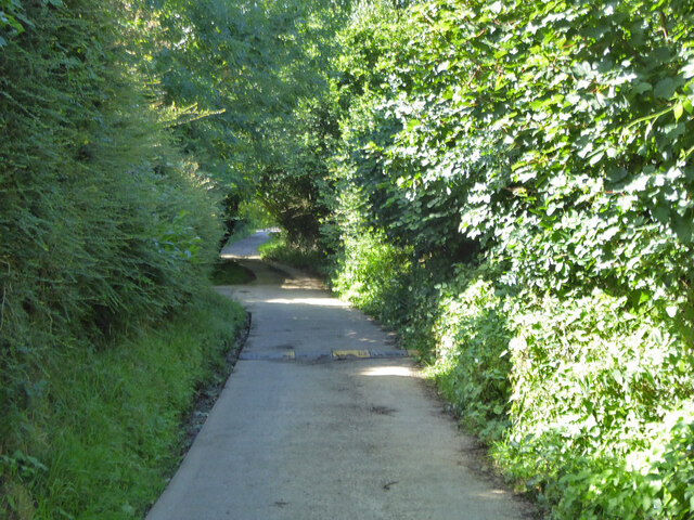
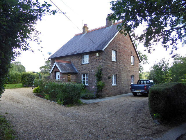
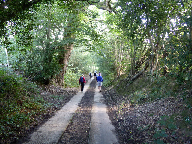
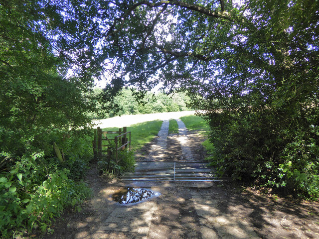
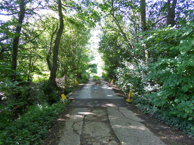
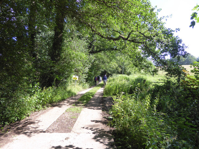
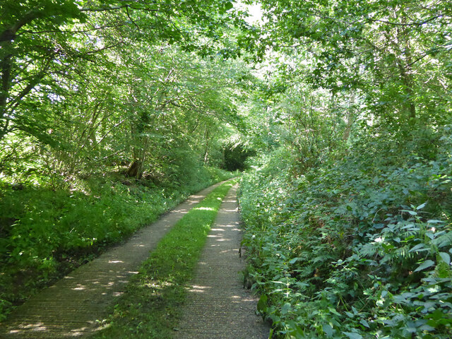
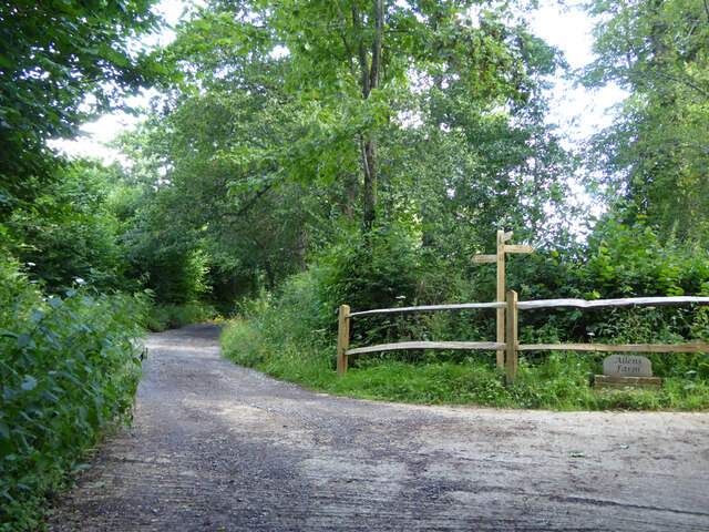
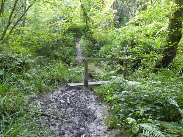
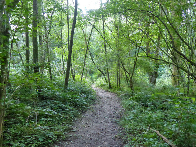
Nymans Estate Images

Images are sourced within 2km of 51.05/-0.197 or Grid Reference TQ2629. Thanks to Geograph Open Source API. All images are credited.

Tanyard Lane, Staplefield A private road, but public footpath 6CR.
Tanyard Lane, Staplefield
A private road, but public footpath 6CR.
Tanyard Cottages, Tanyard Lane, Staplefield
Tanyard Lane, Staplefield For the public, only a footpath - 6CR.
Tanyard Lane, Staplefield
For the public, only a footpath - 6CR.
Track and footpath branching off Tanyard Lane The track goes to Oldhouse, footpath 3CR to Handcross.
Track and footpath branching off Tanyard Lane
The track goes to Oldhouse, footpath 3CR to Handcross.
Tanyard Lane bridge over Foxhole Gill A bridge with no parapets, and a fair drop to the stream below.
Tanyard Lane bridge over Foxhole Gill
A bridge with no parapets, and a fair drop to the stream below.
Tanyard Lane towards Allens Farm The yellow sign warns of deep ditches to either side, which is true, in some places sheer off the concrete strips. This private farm access is also public footpath 4CR.
Tanyard Lane towards Allens Farm
The yellow sign warns of deep ditches to either side, which is true, in some places sheer off the concrete strips. This private farm access is also public footpath 4CR.
Tanyard Lane Private access to Allens and Dillion's Farms, it is also public footpath 4CR.
Tanyard Lane
Private access to Allens and Dillion's Farms, it is also public footpath 4CR.
Path and track junction near Allens Farm Straight on is private access to Dillion's Farm. Left is footpath 2CR to Handcross. Right is access to Allens Farm, shared part of the way with footpath 5CR which may be used as part of a route to Balcombe.
Path and track junction near Allens Farm
Straight on is private access to Dillion's Farm. Left is footpath 2CR to Handcross. Right is access to Allens Farm, shared part of the way with footpath 5CR which may be used as part of a route to Balcombe.
Short green lane near Allens Farm With no public status, and not much used anyway, this was the start of a route, mainly field edges, to Staplefield Upper Common. This has apparently withered away.
Short green lane near Allens Farm
With no public status, and not much used anyway, this was the start of a route, mainly field edges, to Staplefield Upper Common. This has apparently withered away.
Footpath 5CR near Allens Farm Through the gate the path drops down four or five steps to the farm approach track.
Footpath 5CR near Allens Farm
Through the gate the path drops down four or five steps to the farm approach track.
Barns at Allens Farm
Gate on footpath 5CR near Allens Farm
Power line near Allens Farm
Walkers on footpath 5CR Towards Ditton Place, Brantridge Lane and it is part of a route to Balcombe. The official route goes round the field edges on the left, but nobody seems to go that way with the field in permanent grass.
Walkers on footpath 5CR
Towards Ditton Place, Brantridge Lane and it is part of a route to Balcombe. The official route goes round the field edges on the left, but nobody seems to go that way with the field in permanent grass.
Footpath 5CR towards Staplefield or Handcross The official route goes round the field edges on the right, but nobody seems to go that way with the field in permanent grass.
Footpath 5CR towards Staplefield or Handcross
The official route goes round the field edges on the right, but nobody seems to go that way with the field in permanent grass.
Public and private paths In gill woodland, public footpath 5CR crosses the gill, the private path runs along the western shoulder. The quite significant gill has no mapped name.
Public and private paths
In gill woodland, public footpath 5CR crosses the gill, the private path runs along the western shoulder. The quite significant gill has no mapped name.
Gill footbridge, path 5CR By rights the mud should have dried up by late July, but there had been some very wet days.
Gill footbridge, path 5CR
By rights the mud should have dried up by late July, but there had been some very wet days.
Footpath 5CR in unnamed gill Running down to cross the stream to the right.
Footpath 5CR in unnamed gill
Running down to cross the stream to the right.
Show me another place!

Nymans Estate is located at Grid Ref: TQ2629 (Lat: 51.05, Lng: -0.197)

Administrative County: West Sussex

District: Mid Sussex

Police Authority: Sussex

What 3 Words

///steadier.upper.waxer. Near Handcross, West Sussex

Related Wikis

Nymans

Nymans is an English garden to the east of the village of Handcross, and in the civil parish of Slaugham in West Sussex, England. The garden was developed...

Handcross Hill bus crash

On 12 July 1906, a bus crashed into a tree on Handcross Hill in Sussex, England, killing 10 people and injuring a further 26 in the worst road crash in...

Handcross

Handcross is a village in the Mid Sussex District of West Sussex, England. It lies on the A23 road 4.2 miles (6.8 kilometres) south of Crawley. At the...

Cow Wood and Harry's Wood

Cow Wood and Harry's Wood is a 75.5-hectare (187-acre) biological Site of Special Scientific Interest east of Handcross in West Sussex. it is in the High...

Handcross Park School

Handcross Park School is an independent co-educational preparatory school in Handcross, between Crawley, Horsham and Haywards Heath in West Sussex, England...

Slaugham

Slaugham () is a village and civil parish in the Mid Sussex District of West Sussex, England. It is located 7 miles (11 km) to the south of Crawley, on...

St Mary's Church, Slaugham

St Mary's Church is an Anglican church in the village of Slaugham in Mid Sussex, one of seven local government districts in the English county of West...

Staplefield

Staplefield is a village in the Mid Sussex District of West Sussex, England, situated 6 kilometres (3.7 mi) north-west of Haywards Heath on the B2114...

Nearby Amenities

Located within 500m of 51.05,-0.197
Motorway Junction
Handcross
Lat/Long: 51.0485607/-0.2009768
Spar
Addr City: Haywards Heath
Addr Country: GB
Addr Postcode: RH17 6BJ
Addr Street: High Street
Addr Village: Handcross
Brand: Spar
Brand Wikidata: Q610492
Brand Wikipedia: en:Spar (retailer)
Shop: convenience
Source: survey
Wheelchair: no
Wheelchair Description: Step from pavement
Lat/Long: 51.0539615/-0.2002976
Pub
The Red Lion
Brewery: yes
Outdoor Seating: yes
Smoking: outside
Source: photograph;local knowledge
Lat/Long: 51.0535412/-0.2007408
Nymans Gardens
Created By: Potlatch 0.10b
Operator: National Trust
Toilets Wheelchair: no
Tourism: attraction
Wheelchair: limited
Lat/Long: 51.0507003/-0.197702
Bus Stop
Truggers
Bus: yes
Naptan AtcoCode: 4400HR0493
Naptan Bearing: SW
Naptan CommonName: Truggers
Naptan Indicator: Outside Church
Naptan Landmark: Truggers
Naptan NaptanCode: wsxawmjw
Naptan Street: Horsham Road
Naptan Verified: yes
Public Transport: platform
Source: naptan_import
Lat/Long: 51.0524985/-0.2027
Bus Stop
Truggers
Bus: yes
Naptan AtcoCode: 4400HR0494
Naptan Bearing: NE
Naptan CommonName: Truggers
Naptan Indicator: Opposite Church
Naptan Landmark: Truggers
Naptan NaptanCode: wsxawmpa
Naptan Street: Horsham Road
Naptan Verified: yes
Public Transport: platform
Source: naptan_import
Lat/Long: 51.0526457/-0.2026307
Bus Stop
Red Lion
Bus: yes
Naptan AtcoCode: 4400HR0503
Naptan Bearing: S
Naptan CommonName: Red Lion
Naptan Indicator: opp
Naptan Landmark: Horsham Road
Naptan NaptanCode: wsxawmtg
Naptan ShortCommonName: Handcross Red Lion
Naptan Street: High Street
Naptan Verified: no
Public Transport: platform
Source: naptan_import
Lat/Long: 51.0535125/-0.2003319
Bus Stop
Red Lion
Bench: no
Bus: yes
Naptan AtcoCode: 4400HR0504
Naptan Bearing: N
Naptan CommonName: Red Lion
Naptan Indicator: Old Brighton Rd
Naptan Landmark: High Street
Naptan NaptanCode: wsxawmtj
Naptan ShortCommonName: Handcross Red Lion
Naptan Street: B2114
Naptan Verified: no
Public Transport: platform
Shelter: no
Source: naptan_import;survey photos
Wheelchair: limited
Wheelchair Description: Narrow footway. Step-free to stop opposite, step-free via highway to Nymans Gardens
Lat/Long: 51.0529289/-0.2005278
Bus Stop
Red Lion
Bench: yes
Bus: yes
Naptan AtcoCode: 4400HR0505
Naptan Bearing: S
Naptan CommonName: Red Lion
Naptan Indicator: Opp
Naptan Landmark: High Street
Naptan NaptanCode: wsxawmtm
Naptan ShortCommonName: Handcross Red Lion
Naptan Street: B2114
Naptan Verified: yes
Public Transport: platform
Shelter: yes
Source: naptan_import;survey photos
Wheelchair: yes
Wheelchair Description: Step-free to stop opposite, step-free via highway to Nymans Gardens
Lat/Long: 51.0528917/-0.2003517
Bus Stop
Combers
Bus: yes
Naptan AtcoCode: 4400HR0993
Naptan Bearing: SE
Naptan BusStopType: CUS
Naptan CommonName: Combers
Naptan Indicator: adj
Naptan Landmark: Hail & Ride
Naptan NaptanCode: wsxgapdp
Naptan Street: B2114
Naptan Verified: no
Public Transport: platform
Source: naptan_import
Lat/Long: 51.047581/-0.1942058
Bus Stop
Combers
Bus: yes
Naptan AtcoCode: 4400HR0994
Naptan Bearing: NW
Naptan BusStopType: CUS
Naptan CommonName: Combers
Naptan Indicator: opp
Naptan Landmark: Hail & Ride
Naptan NaptanCode: wsxgapdt
Naptan Street: B2114
Naptan Verified: no
Public Transport: platform
Source: naptan_import
Lat/Long: 51.047394/-0.1943272
Toilets
Car park toilets
Addr City: Handcross
Addr Street: Nymans Gardens
Changing Table: yes
Fee: no
Toilets Wheelchair: yes
Wheelchair: yes
Wheelchair Description: Sloped access from dedicated Blue Badge spaces.
Lat/Long: 51.0523438/-0.1996508
Post Box
Operator: Royal Mail
Post Box Type: pillar
Ref: RH17 108
Royal Cypher: GR
Royal Cypher Wikidata: Q33102273
Lat/Long: 51.0540063/-0.2001624
Barrier: entrance
Bicycle: no
Entrance: exit
Foot: yes
Lat/Long: 51.0520924/-0.1993889
Barrier: sally_port
Bicycle: no
Foot: yes
Lat/Long: 51.0501594/-0.1961537
Direction: 90
Tourism: viewpoint
Wheelchair: yes
Wheelchair Description: On recommended wheelchair route. Some uneven slabs in last 10m. Stone balastrade may obstruct view, but, equally good view towards Ouse Valley Viaduct from nearby asphalt path.
Lat/Long: 51.0495977/-0.1942169
Bicycle: no
Entrance: exit
Foot: yes
Note: Step free entrance avoiding steps on south side. photo 3151043 on 4/12/19 shows accessibility fro wheelchair entry
Wheelchair: limited
Wheelchair Description: Ramp - accessible entrance to ground floor only. Exhibition area on first floor is currently via steep stairs
Lat/Long: 51.0495824/-0.195638
Barrier: sally_port
Bicycle: no
Foot: yes
Source: Trace and GPX 20110208
Lat/Long: 51.0495767/-0.1958058
Barrier: sally_port
Bicycle: no
Foot: yes
Source: Trace and GPX 20110208
Lat/Long: 51.0494143/-0.1958887
Barrier: sally_port
Bicycle: no
Foot: yes
Source: Trace and GPX 20110208
Lat/Long: 51.0493935/-0.1955914
Post Office
Handcross Post Office
Addr City: Haywards Heath
Addr Country: GB
Addr Postcode: RH17 6BJ
Addr Street: High Street
Addr Village: Handcross
Opening Hours: Mo,Tu,Th,Fr 09:00-13:00,14:00-17:30; We 09:00-13:00; Sa 09:00-12:30
Ref Pol Id: 2296
Source: survey
Wheelchair: no
Wheelchair Description: Step from pavement
Lat/Long: 51.053943/-0.2003084
Handcross Butchers.
Shop: butcher
Lat/Long: 51.0535031/-0.2002325
Bench
Backrest: yes
Lat/Long: 51.0506232/-0.1910026
Barrier: kissing_gate
Lat/Long: 51.0508312/-0.1911063
Bench
Backrest: yes
Lat/Long: 51.0523327/-0.1945295
Street Lamp
Lamp Model: Philips SGP340
Lamp Type: high_pressure_sodium
Light Count: 1
Source: Mapillary (2019-05-08)
Lat/Long: 51.0513723/-0.201895
Street Lamp
Lamp Model: Philips SGP340
Lamp Type: high_pressure_sodium
Light Count: 1
Source: Mapillary (2019-05-08)
Lat/Long: 51.0510906/-0.2017926
Street Lamp
Lamp Model: Philips SGP340
Lamp Type: high_pressure_sodium
Light Count: 1
Source: Mapillary (2019-05-08)
Lat/Long: 51.0516807/-0.2019272
Street Lamp
Lamp Model: Philips SGP340
Lamp Type: high_pressure_sodium
Light Count: 1
Source: Mapillary (2019-05-08)
Lat/Long: 51.0519317/-0.2019494
Street Lamp
Lamp Model: Siemens Broadway
Lamp Type: high_pressure_sodium
Light Count: 2
Source: Mapillary (2019-05-08)
Lat/Long: 51.0531656/-0.2019465
Street Lamp
Lamp Model: Siemens Broadway
Lamp Type: high_pressure_sodium
Light Count: 2
Source: Mapillary (2019-05-08)
Lat/Long: 51.0529542/-0.2018917
Street Lamp
Lamp Model: Philips SGP340
Lamp Type: high_pressure_sodium
Light Count: 1
Source: Mapillary (2019-05-08)
Lat/Long: 51.0522307/-0.2019972
Street Lamp
Lamp Model: Philips SGP340
Lamp Type: high_pressure_sodium
Light Count: 1
Source: Mapillary (2019-05-08)
Lat/Long: 51.0525308/-0.2020521
Street Lamp
Lamp Model: Philips SGP340
Lamp Type: high_pressure_sodium
Light Count: 2
Source: Mapillary (2019-05-08)
Lat/Long: 51.0526134/-0.2018107
Street Lamp
Lamp Model: Philips SGP340
Lamp Type: high_pressure_sodium
Light Count: 2
Source: Mapillary (2019-05-08)
Lat/Long: 51.0521852/-0.2017196
Street Lamp
Lamp Model: Philips SGP340
Lamp Type: high_pressure_sodium
Light Count: 2
Source: Mapillary (2019-05-08)
Lat/Long: 51.0517518/-0.2016404
Street Lamp
Lamp Model: Philips SGP340
Lamp Type: high_pressure_sodium
Light Count: 2
Source: Mapillary (2019-05-08)
Lat/Long: 51.0513337/-0.2015586
Street Lamp
Lamp Model: Philips SGP340
Lamp Type: high_pressure_sodium
Light Count: 2
Source: Mapillary (2019-05-08)
Lat/Long: 51.0509147/-0.2014674
Street Lamp
Lamp Model: Philips SGP340
Lamp Type: high_pressure_sodium
Light Count: 2
Source: Mapillary (2019-05-08)
Lat/Long: 51.0504873/-0.2013668
Street Lamp
Lamp Model: Philips SGP340
Lamp Type: high_pressure_sodium
Light Count: 2
Source: Mapillary (2019-05-08)
Lat/Long: 51.0500539/-0.2012596
Street Lamp
Lamp Model: Philips SGP340
Lamp Type: high_pressure_sodium
Light Count: 2
Source: Mapillary (2019-05-08)
Lat/Long: 51.0496239/-0.2011482
Street Lamp
Lamp Model: Philips SGP340
Lamp Type: high_pressure_sodium
Light Count: 2
Source: Mapillary (2019-05-08)
Lat/Long: 51.0491973/-0.2010329
Street Lamp
Lamp Model: Philips SGP340
Lamp Type: high_pressure_sodium
Light Count: 2
Source: Mapillary (2019-05-08)
Lat/Long: 51.0487707/-0.2009283
Street Lamp
Lamp Model: Philips SGP340
Lamp Type: high_pressure_sodium
Light Count: 2
Source: Mapillary (2019-05-08)
Lat/Long: 51.0483559/-0.2008237
Street Lamp
Lamp Model: Philips SGP340
Lamp Type: high_pressure_sodium
Light Count: 2
Source: Mapillary (2019-05-08)
Lat/Long: 51.0479302/-0.2007177
Street Lamp
Lamp Model: Philips SGP340
Lamp Type: high_pressure_sodium
Light Count: 2
Source: Mapillary (2019-05-08)
Lat/Long: 51.0475052/-0.2006091
Street Lamp
Lamp Model: Philips SGP340
Lamp Type: high_pressure_sodium
Light Count: 2
Source: Mapillary (2019-05-08)
Lat/Long: 51.0470643/-0.2004924
Street Lamp
Lamp Model: Philips SGP340
Lamp Type: high_pressure_sodium
Light Count: 2
Source: Mapillary (2019-05-08)
Lat/Long: 51.0466385/-0.2003691
Street Lamp
Lamp Model: Philips SGP340
Lamp Type: high_pressure_sodium
Light Count: 2
Source: Mapillary (2019-05-08)
Lat/Long: 51.0462861/-0.2002497
Door: door
Entrance: entrance
Note: photo shows accessibility issue
Wheelchair: no
Wheelchair Description: 3 steps from path, accessible entrance to ground floor only via ramp on west side of building
Lat/Long: 51.0494604/-0.1953237
Nymans House & Gallery
Tourism: attraction
Wheelchair: limited
Wheelchair Description: Ramped entrance on west side. Accessible entrance to ground floor only. Exhibition area on first floor is currently via steep stairs. Lift access is planned
Lat/Long: 51.0495375/-0.1954537
Addr City: Haywards Heath
Addr Housename: Nymans Cottages
Addr Postcode: RH17 6EB
Addr Street: Staplefield Road
Addr Village: Handcross
Lat/Long: 51.0500244/-0.1986846
Addr City: Haywards Heath
Addr Housename: Nymans Cottages
Addr Postcode: RH17 6EB
Addr Street: Staplefield Road
Addr Village: Handcross
Lat/Long: 51.0514837/-0.1998675
Addr City: Haywards Heath
Addr Housename: Triangle Cottages
Addr Village: Handcross
Note: located on Brighton Road, 2 & 3 located on cuckfield Road.
Lat/Long: 51.0524119/-0.2003932
Addr City: Haywards Heath
Addr Housename: Dovers
Addr Postcode: RH17 6BU
Addr Street: Brighton Road
Addr Village: Handcross
Lat/Long: 51.0516524/-0.2002363
Addr City: Haywards Heath
Addr Housename: Primrose Cottages
Addr Postcode: RH17 6BU
Addr Street: Brighton Road
Addr Village: Handcross
Lat/Long: 51.0515681/-0.2002403
Addr City: Haywards Heath
Addr Housename: Laburnham Cottages
Addr Postcode: RH17 6BU
Addr Street: Brighton Road
Addr Village: Handcross
Lat/Long: 51.0513889/-0.2002698
Addr City: Haywards Heath
Addr Housename: Jessamine Cottages
Addr Postcode: RH17 6BU
Addr Street: Brighton Road
Addr Village: Handcross
Lat/Long: 51.0513046/-0.2002712
Addr City: Haywards Heath
Addr Housename: Myrtle Cottages
Addr Postcode: RH17 6BU
Addr Street: Brighton Road
Addr Village: Handcross
Lat/Long: 51.0512182/-0.2002759
Addr City: Haywards Heath
Addr Housename: Walters Mews
Addr Postcode: RH17 6BU
Addr Street: Brighton Road
Addr Village: Handcross
Lat/Long: 51.0510589/-0.2002698
Addr City: Haywards Heath
Addr Housename: St Georges Cottages
Addr Postcode: RH17 6BZ
Addr Street: Brighton Road
Addr Village: Handcross
Lat/Long: 51.0516642/-0.2007392
Addr City: Haywards Heath
Addr Housename: Sycamore Court
Addr Postcode: RH17 6BZ
Addr Street: Brighton Road
Addr Village: Handcross
Source Addr Postcode: code-point_open
Lat/Long: 51.0528503/-0.2007848
Charging Station
Red Lion
Access: yes
Authentication Credit Card: yes
Authentication Debit Card: yes
Bicycle: no
Capacity: 2
Charge: 30 GBP/kWh
Fee: yes
Motorcar: yes
Note: This charger is available for public access, upon registering vehicle at the hotel reception. Confirmed by BP Pulse.
Opening Hours: 24/7
Operator: Pulse
Parking Fee: no
Payment Credit Cards: yes
Payment Debit Cards: yes
Ref: CM24646
Socket Chademo: 1
Socket Chademo Output: 50kW
Socket Type2: 1
Socket Type2 Output: 43kW
Socket Type2 Combo: 1
Socket Type2 Combo Output: 50kW
Lat/Long: 51.0535428/-0.2011428
Entrance: yes
Lat/Long: 51.0536223/-0.2007902
Barrier: cattle_grid
Lat/Long: 51.0511235/-0.2031548
Barrier: entrance
Bicycle: no
Entrance: yes
Foot: yes
Lat/Long: 51.0521127/-0.1990415
Toilets
Wheelchair: yes
Lat/Long: 51.049731/-0.1953984
Information: guidepost
Lat/Long: 51.0527399/-0.1962565
Board Type: nature
Description: Nymams wood
Information: board
Tourism: information
Lat/Long: 51.0529216/-0.1978893
The data included in this document is from www.openstreetmap.org. The data is made available under ODbL.

Have you been to Nymans Estate?

Leave your review of Nymans Estate below (or comments, questions and feedback).