Nutwell Court
Heritage Site in Devon East Devon
England
Nutwell Court

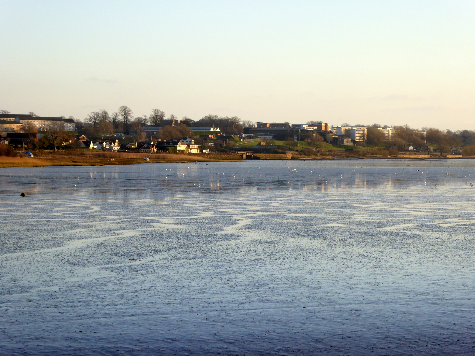
Nutwell Court is a historic country house located in Devon, England. Situated on the eastern bank of the Exe Estuary, it is a Grade II listed building and has been recognized as a heritage site due to its historical significance and architectural charm.
Originally built in the 16th century, Nutwell Court underwent several renovations and expansions over the years. The house features a distinctive Georgian style, with symmetrical facades and elegant proportions. It is surrounded by picturesque gardens and expansive grounds that offer stunning views of the estuary and the surrounding countryside.
The interior of Nutwell Court is equally impressive, with grand reception rooms adorned with intricate plasterwork, ornate fireplaces, and large sash windows that flood the spaces with natural light. The house also boasts a collection of valuable artwork, antique furniture, and historical artifacts, showcasing the rich heritage of the property.
In addition to its architectural and historical significance, Nutwell Court has played a role in various significant events throughout its existence. During World War II, the house was requisitioned by the military and used as a training base for the Royal Marines. Today, it is privately owned and occasionally opened to the public for guided tours, allowing visitors to explore the grandeur and history of this remarkable heritage site.
Overall, Nutwell Court stands as a testament to the region's rich history and architectural excellence, making it a must-visit destination for history enthusiasts and architecture lovers alike.
If you have any feedback on the listing, please let us know in the comments section below.
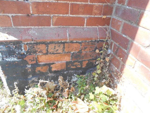
Nutwell Court Images
Images are sourced within 2km of 50.66/-3.437 or Grid Reference SX9885. Thanks to Geograph Open Source API. All images are credited.


Nutwell Court is located at Grid Ref: SX9885 (Lat: 50.66, Lng: -3.437)
Administrative County: Devon
District: East Devon
Police Authority: Devon and Cornwall
What 3 Words
///encloses.vaccines.glitter. Near Lympstone, Devon
Nearby Locations
Related Wikis
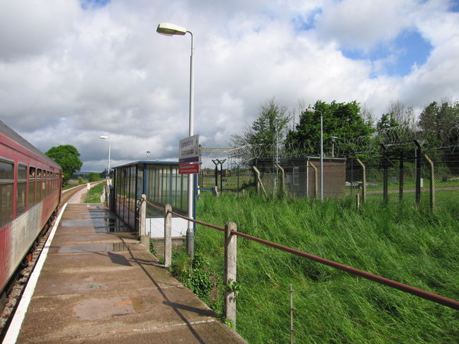
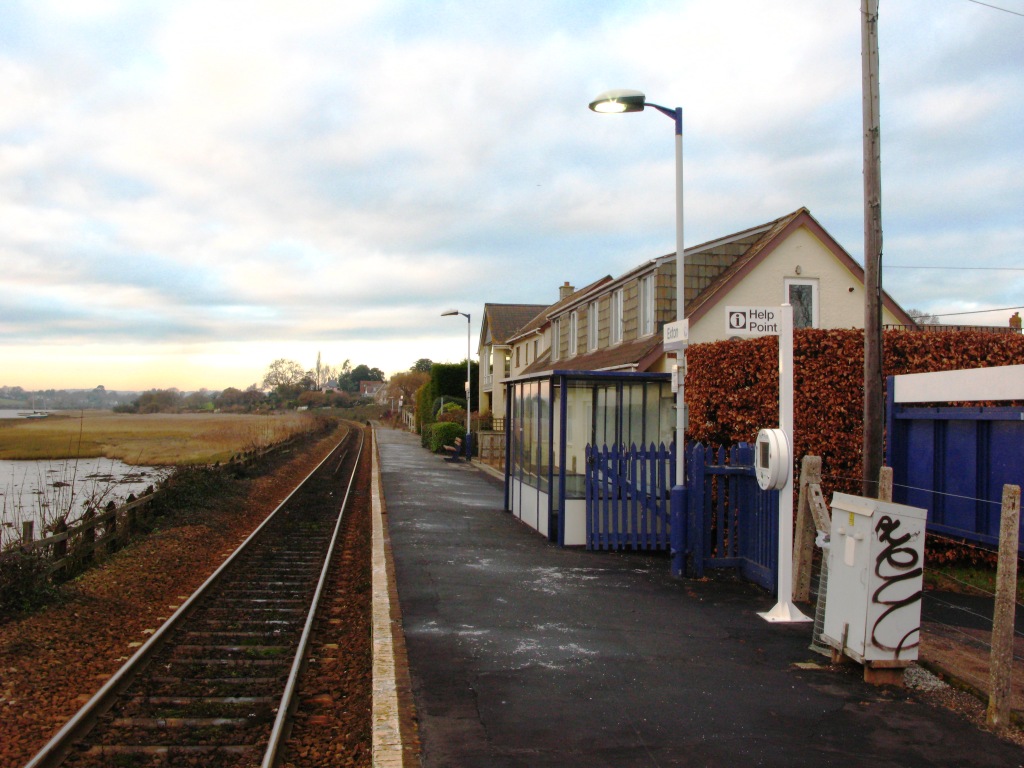
Lympstone Commando railway station
Lympstone Commando railway station is a railway station situated on the Avocet Line, a branch line from Exeter to Exmouth in Devon, England. The station...
Commando Training Centre Royal Marines
Commando Training Centre Royal Marines (CTCRM) is the principal military training centre for the Royal Marines. It is situated near the villages of Lympstone...

Mountain Leader Training Cadre
The Mountain Leader Training Cadre is a training element of the United Kingdom's Royal Marines which provides instruction in mountain warfare, arctic warfare...

Nutwell
Nutwell in the parish of Woodbury on the south coast of Devon is a historic manor and the site of a Georgian neo-classical Grade II* listed mansion house...
Exton railway station
Exton railway station is a railway station serving the village of Exton in Devon, England. It is situated on the Avocet Line which runs between Exeter...
Exton, Devon
Exton is a village in East Devon, Devon, England, situated on the east bank of the River Clyst, as it flows through the wider Exe Estuary. The A376 road...

Gulliford Farm
Gulliford Farm is a Grade-II listed farmhouse in East Devon, between Exmouth and Topsham. It is situated in the village of Exton, in the parish of Woodbury...

Lympstone Village railway station
Lympstone Village railway station serves the village of Lympstone in Devon, England. == History == Lympstone station was opened with the railway on 1 May...
Nearby Amenities
Located within 500m of 50.66,-3.437Have you been to Nutwell Court?
Leave your review of Nutwell Court below (or comments, questions and feedback).