The Rookery
Wood, Forest in Devon East Devon
England
The Rookery

The Rookery, Devon, located in the heart of the picturesque Wood Forest, is a captivating destination for nature enthusiasts and those seeking solace amidst the beautiful countryside of England. Covering an expansive area of lush greenery, this enchanting woodland is renowned for its serene atmosphere and diverse wildlife.
The Rookery encompasses a rich variety of trees, including ancient oaks, towering beeches, and majestic pines, which provide a sheltered haven for an array of flora and fauna. The forest floor is adorned with a vibrant carpet of bluebells, wild garlic, and ferns, creating a striking visual spectacle during springtime.
Visitors to The Rookery are greeted with a network of well-maintained walking trails that wind through the forest, allowing exploration of its hidden treasures. These paths cater to different levels of hiking expertise, accommodating casual strollers as well as avid adventurers. Along the way, occasional clearing areas offer peaceful spots for picnics or a moment of reflection surrounded by nature's bounty.
Wildlife enthusiasts will revel in the abundance of creatures that call The Rookery home. The forest is a thriving habitat for a variety of bird species, including woodpeckers, owls, and songbirds. Deer can occasionally be spotted gracefully navigating their way through the trees, adding to the allure of this natural sanctuary.
In addition to its natural wonders, The Rookery boasts a visitor center equipped with informative exhibits on the forest's history, ecology, and conservation efforts. Knowledgeable staff are on hand to provide guidance and answer any questions, ensuring a memorable and educational experience for all who visit.
Whether seeking tranquility, adventure, or a deeper connection with nature, The Rookery in Devon is a captivating destination that promises to leave a lasting impression on all who venture into its mesmerizing embrace.
If you have any feedback on the listing, please let us know in the comments section below.
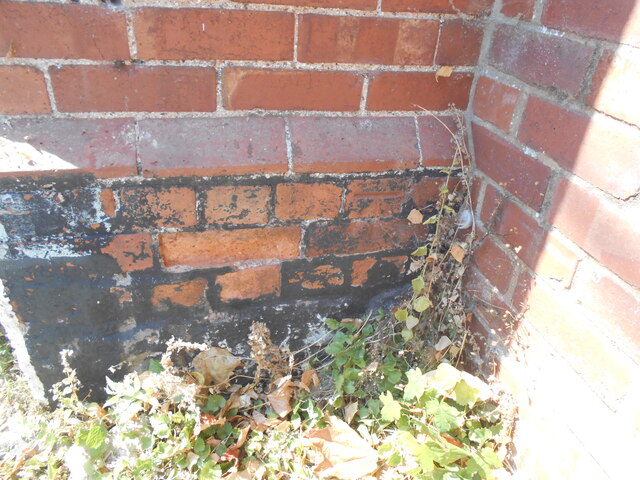
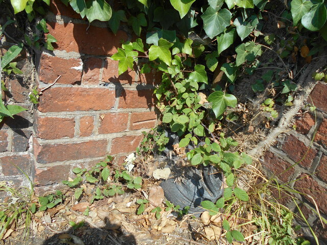
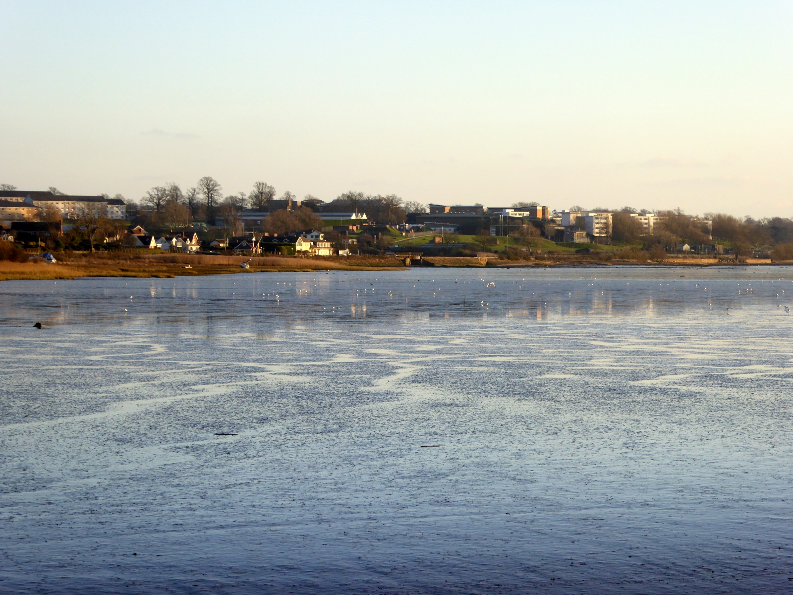
The Rookery Images
Images are sourced within 2km of 50.657258/-3.4346462 or Grid Reference SX9885. Thanks to Geograph Open Source API. All images are credited.


The Rookery is located at Grid Ref: SX9885 (Lat: 50.657258, Lng: -3.4346462)
Administrative County: Devon
District: East Devon
Police Authority: Devon and Cornwall
What 3 Words
///butternut.puff.breezy. Near Lympstone, Devon
Nearby Locations
Related Wikis

Nutwell
Nutwell in the parish of Woodbury on the south coast of Devon is a historic manor and the site of a Georgian neo-classical Grade II* listed mansion house...
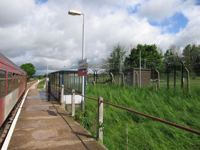
Lympstone Commando railway station
Lympstone Commando railway station is a railway station situated on the Avocet Line, a branch line from Exeter to Exmouth in Devon, England. The station...
Commando Training Centre Royal Marines
Commando Training Centre Royal Marines (CTCRM) is the principal military training centre for the Royal Marines. It is situated near the villages of Lympstone...

Mountain Leader Training Cadre
The Mountain Leader Training Cadre is a training element of the United Kingdom's Royal Marines which provides instruction in mountain warfare, arctic warfare...

Gulliford Farm
Gulliford Farm is a Grade-II listed farmhouse in East Devon, between Exmouth and Topsham. It is situated in the village of Exton, in the parish of Woodbury...

Lympstone Village railway station
Lympstone Village railway station serves the village of Lympstone in Devon, England. == History == Lympstone station was opened with the railway on 1 May...

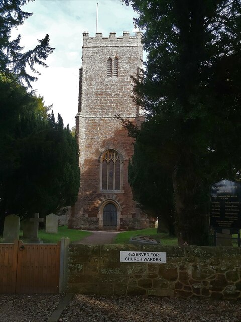
Church of the Nativity of the Blessed Virgin Mary, Lympstone
The Church of the Nativity of the Blessed Virgin Mary is the parish church of Lympstone in Devon, England. It is a Grade II* listed building. == History... ==

Lympstone
Lympstone is a village and civil parish in East Devon in the English county of Devon. It has a population of 1,754. There is a harbour on the estuary of...
Nearby Amenities
Located within 500m of 50.657258,-3.4346462Have you been to The Rookery?
Leave your review of The Rookery below (or comments, questions and feedback).