Middlefield

Settlement in Stirlingshire

Scotland

Middlefield

Merers Lock Lock No.8 on the Forth and Clyde Canal. Merchiston Road crosses the canal east of the lock
Merers Lock Credit: Eirian Evans

Middlefield is a small village located in the county of Stirlingshire, Scotland. Situated in the central region of the country, it lies about 7 miles east of the city of Stirling. The village is nestled amidst picturesque landscapes, surrounded by rolling hills and stunning countryside.

With a population of around 500 residents, Middlefield maintains a close-knit and friendly community. The village is primarily residential, boasting a mix of traditional stone-built houses, cottages, and more modern dwellings. Many properties enjoy scenic views of the surrounding countryside.

Middlefield is well-connected to nearby towns and cities, with easy access to transportation links. The A91 road runs through the village, providing convenient connections to Stirling, Alloa, and other surrounding areas. Public transportation options, including regular bus services, are available for those commuting to nearby towns for work or leisure.

Although Middlefield itself is relatively small, it benefits from its proximity to various amenities and attractions. The nearby city of Stirling offers a wide range of shops, restaurants, and leisure facilities, while the historic Stirling Castle and the Wallace Monument are popular tourist destinations.

Nature enthusiasts will appreciate the abundance of outdoor activities available in the area surrounding Middlefield. The village is located near the Ochil Hills, providing opportunities for hiking, cycling, and exploring the scenic landscapes. Additionally, the nearby River Devon offers fishing opportunities for angling enthusiasts.

In conclusion, Middlefield offers a peaceful and idyllic setting for those seeking a rural lifestyle while remaining within reach of amenities and attractions. With its stunning natural surroundings and friendly community, the village provides a charming place to call home.

If you have any feedback on the listing, please let us know in the comments section below.
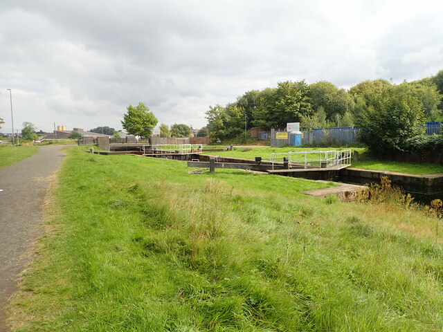
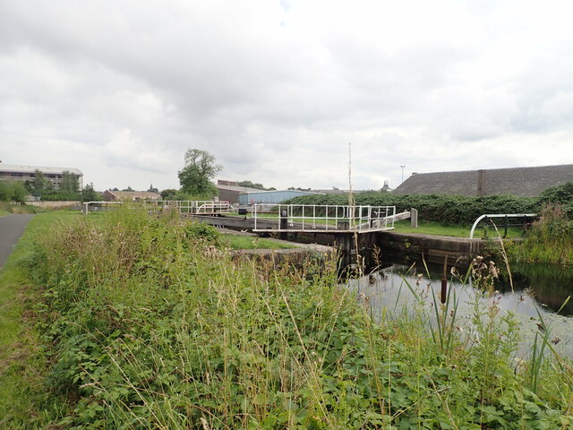
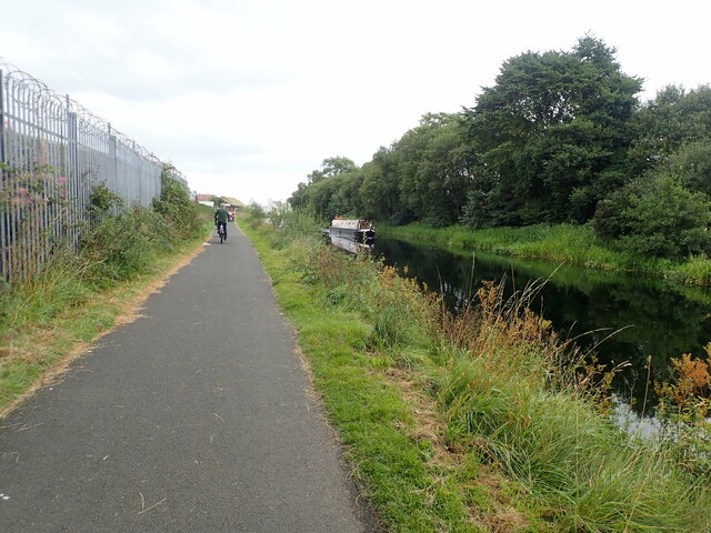
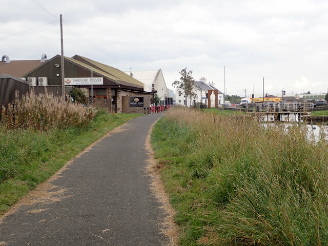
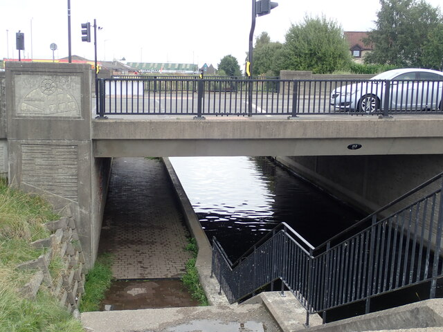
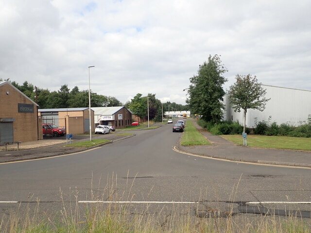
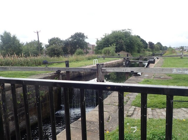
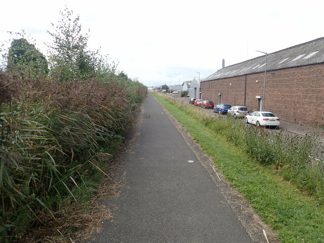
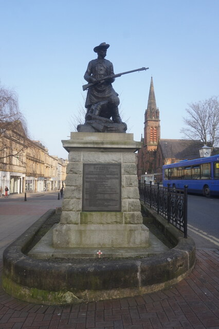
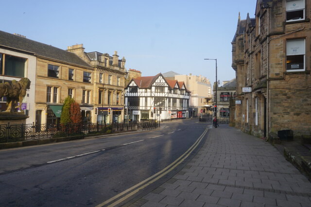
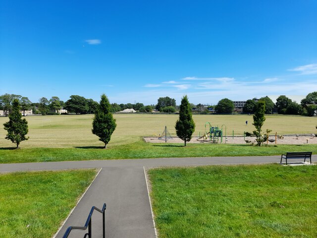
Middlefield Images

Images are sourced within 2km of 56.007999/-3.7672981 or Grid Reference NS8980. Thanks to Geograph Open Source API. All images are credited.

Merers Lock Lock No.8 on the Forth and Clyde Canal. Merchiston Road crosses the canal east of the lock
Merers Lock
Lock No.8 on the Forth and Clyde Canal. Merchiston Road crosses the canal east of the lock
Merchiston Lock This is lock No.7 on the Forth and Clyde Canal
Merchiston Lock
This is lock No.7 on the Forth and Clyde Canal
Towpath beside the Forth and Clyde Canal The barbed wire topped fence on the left surrounds an industrial area.
Towpath beside the Forth and Clyde Canal
The barbed wire topped fence on the left surrounds an industrial area.
Forth and Clyde Canal towpath Near canal lock no.5, Bainsford Lock. The B905 crosses the canal on the east side of the lock.
Forth and Clyde Canal towpath
Near canal lock no.5, Bainsford Lock. The B905 crosses the canal on the east side of the lock.
Towpath underpassing Grahams Road bridge
Offices to let on Bankside
Bankside Industrial Estate
Abbotshaugh Lock Lock No.4 on the Forth and Clyde Canal
Abbotshaugh Lock
Lock No.4 on the Forth and Clyde Canal
Canal towpath near the Bankside Industrial Estate The canal is obscured by overgrown hedge
Canal towpath near the Bankside Industrial Estate
The canal is obscured by overgrown hedge
Boer War Memorial, Newmarket Street, Falkirk
Newmarket Street, Falkirk
Upper Newmarket Street, Falkirk
The Carron Works Public House A Wetherspoons pub on Bank Street, Falkirk.
The Carron Works Public House
A Wetherspoons pub on Bank Street, Falkirk.
The Carron Works Public House
Victoria Park
Victoria Park
Green bridge over the River Carron Reflections give two for the price of one!
Green bridge over the River Carron
Reflections give two for the price of one!
"Love and Kisses" sculpture Intended to represent a laurel leaf and paying tribute to the area's rich Roman heritage, this sculpture is made in Corten steel and  designed by artist Jephson Robb.
"Love and Kisses" sculpture
Intended to represent a laurel leaf and paying tribute to the area's rich Roman heritage, this sculpture is made in Corten steel and designed by artist Jephson Robb.
Falkirk Telephone Exchange On Kerse Street. Looking down from Floor 7 of the Callendar Square car park.
Falkirk Telephone Exchange
On Kerse Street. Looking down from Floor 7 of the Callendar Square car park.
Show me another place!

Middlefield is located at Grid Ref: NS8980 (Lat: 56.007999, Lng: -3.7672981)

Unitary Authority: Falkirk

Police Authority: Forth Valley

What 3 Words

///line.deaf.leader. Near Falkirk

Nearby Locations

Ladysmill Middlefield

Related Wikis

Firs Park

Firs Park was a football stadium in Falkirk, Scotland, which was the home of East Stirlingshire F.C. between 1921 and 2008. It was located on Firs Street...

Falkirk Stadium

The Falkirk Stadium is an all-seater football stadium in Falkirk, central Scotland, which is the home ground of Scottish League One club Falkirk and Lowland...

Graeme High School

Graeme High School is a non-denominational public secondary school located in Falkirk, Scotland. The school is operated by Falkirk Council on behalf of...

Falkirk bus station

Falkirk bus station is a disused bus station situated in Falkirk, Scotland. It is privately owned. == History == The station was built in the 1930s for...

Nearby Amenities

Located within 500m of 56.007999,-3.7672981
Mini Roundabout
Direction: clockwise
Lat/Long: 56.010785/-3.7681409
Traffic Signals
Traffic Signals: signal
Lat/Long: 56.0045952/-3.7645809
Mini Roundabout
Direction: clockwise
Lat/Long: 56.0106462/-3.7693044
Barrier: bollard
Bicycle: yes
Foot: yes
Lat/Long: 56.0098152/-3.7744551
Bus Stop
Bus: yes
Naptan AtcoCode: 66901420302
Naptan NaptanCode: 32526528
Public Transport: platform
Shelter: yes
Lat/Long: 56.0101864/-3.772136
Bus Stop
Bus: yes
Public Transport: platform
Shelter: yes
Lat/Long: 56.0104403/-3.770186
Entrance: main
Lat/Long: 56.010988/-3.7690666
Waste Basket
Source: survey
Lat/Long: 56.0103116/-3.7707697
Waste Basket
Lat/Long: 56.0062736/-3.770695
Entrance: main
Lat/Long: 56.0068452/-3.7706704
Turning Circle
Lat/Long: 56.0074995/-3.7693778
Entrance: main
Lat/Long: 56.0100223/-3.7664399
Crossing
Crossing: uncontrolled
Crossing Ref: zebra
Lat/Long: 56.0100396/-3.7663329
Crossing
Crossing: uncontrolled
Crossing Ref: zebra
Lat/Long: 56.0101692/-3.7654511
Post Box
Collection Times: Mo-Fr 16:00; Sa 11:30
Operator: Royal Mail
Post Box Type: pillar
Ref: FK2 231
Royal Cypher: scottish_crown
Lat/Long: 56.0088751/-3.7677452
Charging Station
Grangemouth Rd Charge Point
Motorcar: yes
Lat/Long: 56.004054/-3.7665658
Middlefield
Place: suburb
Lat/Long: 56.0085017/-3.7720635
Bus Stop
Lat/Long: 56.0043343/-3.7657121
Bus Stop
Lat/Long: 56.0038604/-3.7681019
Post Box
Collection Times: Mo-Fr 09:00; Sa 07:00
Operator: Royal Mail
Post Box Design: type_k
Post Box Type: pillar
Ref: FK2 33D
Royal Cypher: scottish_crown
Lat/Long: 56.0037615/-3.7679437
TMS Motor Spares
Addr City: Falkirk
Addr Housename: Forbes Court
Addr Postcode: FK2 9HQ
Addr Street: Middlefield Industrial Estate
Opening Hours: Mo-Fr 08:00-17:30; Sa 08:30-12:30
Operator: Alliance Automotive Group
Shop: car_parts
Website: https://allianceautomotive.co.uk/member/27840/tms-motor-spares-falkirk/
Lat/Long: 56.007728/-3.7645759
Noexit: yes
Lat/Long: 56.0104281/-3.771396
Post Box
Collection Times: Mo-Fr 09:00; Sa 07:00
Operator: Royal Mail
Post Box Design: type_b
Post Box Type: pillar
Ref: FK2 24D
Royal Cypher: GVIR
Royal Cypher Wikidata: Q33102169
Lat/Long: 56.0072344/-3.7745923
Cafe
Kelpies Cafe
Indoor Seating: yes
Outdoor Seating: yes
Takeaway: yes
Lat/Long: 56.0114342/-3.7692922
Generator Method: photovoltaic
Generator Output Electricity: yes
Generator Source: solar
Generator Type: solar_photovoltaic_panel
Power: generator
Lat/Long: 56.0046529/-3.762543
Generator Method: photovoltaic
Generator Output Electricity: yes
Generator Source: solar
Generator Type: solar_photovoltaic_panel
Power: generator
Lat/Long: 56.0039662/-3.7642287
Crossing
Crossing: traffic_signals
Tactile Paving: yes
Lat/Long: 56.0045521/-3.7648321
Crossing
Crossing: traffic_signals
Tactile Paving: yes
Lat/Long: 56.004692/-3.7646539
Noexit: yes
Lat/Long: 56.0040503/-3.7709619
Bus Stop
Bus: yes
Public Transport: platform
Lat/Long: 56.0048025/-3.7638186
Another Football Ground
Sport: soccer
Lat/Long: 56.0051544/-3.772017
Football Ground
Sport: soccer
Lat/Long: 56.0050206/-3.7728426
Bench
Material: metal
Lat/Long: 56.0060585/-3.7725303
Bench
Material: metal
Lat/Long: 56.0058002/-3.7710705
Bench
Material: metal
Lat/Long: 56.0045736/-3.7707842
Barrier: bollard
Lat/Long: 56.0045104/-3.7643811
The data included in this document is from www.openstreetmap.org. The data is made available under ODbL.

Have you been to Middlefield?

Leave your review of Middlefield below (or comments, questions and feedback).