Middlefield
Settlement in Aberdeenshire
Scotland
Middlefield

Middlefield is a small village located in the picturesque region of Aberdeenshire, Scotland. Situated approximately 10 miles south of Aberdeen, it is nestled amidst the stunning countryside, offering residents and visitors a tranquil escape from the bustling city life.
The village is renowned for its rich history, dating back many centuries. It is believed to have been settled in the early medieval period, and remnants of ancient structures can still be seen today. The area is dotted with historical landmarks, including a well-preserved castle and a charming parish church, which serve as a reminder of Middlefield's past.
Despite its small size, Middlefield boasts a strong sense of community. The locals take pride in their village and actively participate in various community events and initiatives. The village hosts an annual summer fair, where residents and visitors gather to enjoy live music, local food, and traditional games. This event serves as a testament to the village's warm and welcoming atmosphere.
Nature enthusiasts will find Middlefield to be a haven of natural beauty. Surrounded by rolling hills and lush green landscapes, the village offers breathtaking views and numerous opportunities for outdoor activities. Hiking and cycling trails weave through the countryside, allowing visitors to explore the area's stunning scenery.
Middlefield may be small, but it offers all the essential amenities one might need. The village is home to a few local shops, a primary school, and a community center that hosts various activities and classes. For additional services and amenities, residents have easy access to the nearby city of Aberdeen.
In summary, Middlefield is a charming village in Aberdeenshire that combines a rich historical heritage with natural beauty. It offers a peaceful and close-knit community, making it an ideal place for those seeking a serene countryside lifestyle.
If you have any feedback on the listing, please let us know in the comments section below.
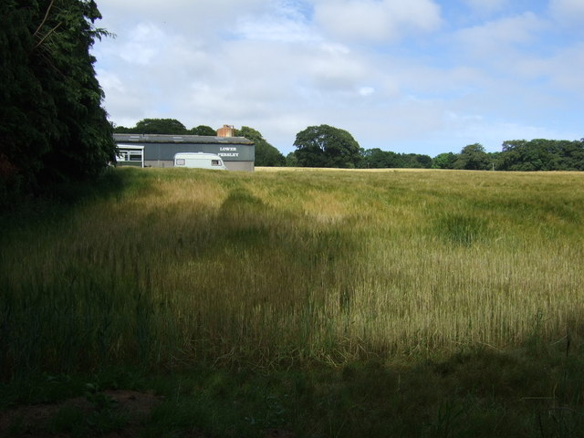
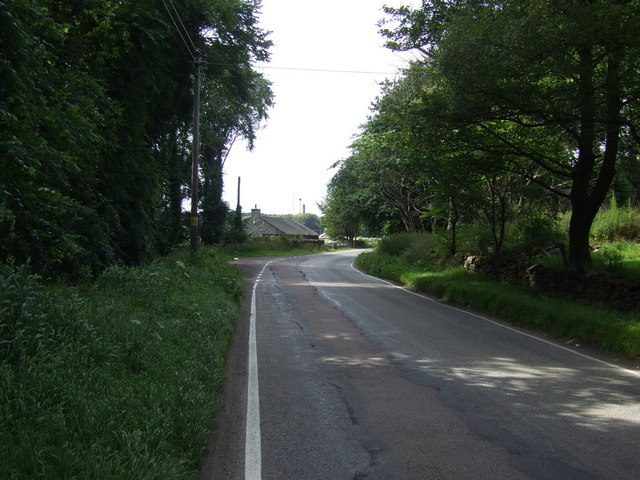
Middlefield Images
Images are sourced within 2km of 57.170478/-2.1474241 or Grid Reference NJ9108. Thanks to Geograph Open Source API. All images are credited.


Middlefield is located at Grid Ref: NJ9108 (Lat: 57.170478, Lng: -2.1474241)
Unitary Authority: City of Aberdeen
Police Authority: North East
What 3 Words
///lifts.quest.caked. Near Dyce, Aberdeen
Nearby Locations
Related Wikis

Haudagain roundabout
The Haudagain Roundabout is a roundabout in Aberdeen that bisects the A92 and A96.As all traffic going northbound to Inverness via the A96 or southbound...
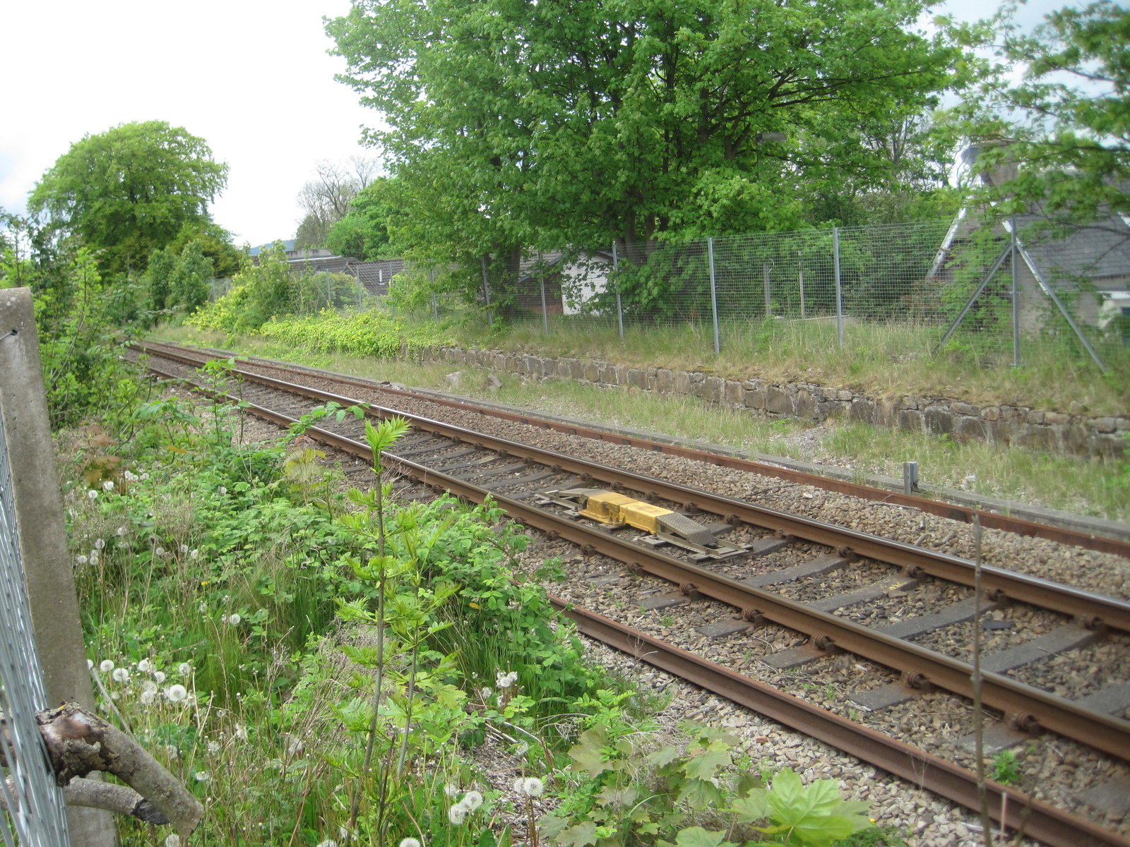
Persley railway station
Persley railway station served the area of Persley, Aberdeenshire, Scotland, from 1903 to 1937 on the Great North of Scotland Railway. == History == The...
Sunnybank F.C.
Sunnybank Football Club are a Scottish football club, based in the city of Aberdeen. Members of the Scottish Junior Football Association, they currently...
Hilton, Aberdeen
Hilton is a former village, now a neighbourhood, located just north of Rosehill in Aberdeen. == References == The geographic coordinates are from the Ordnance...
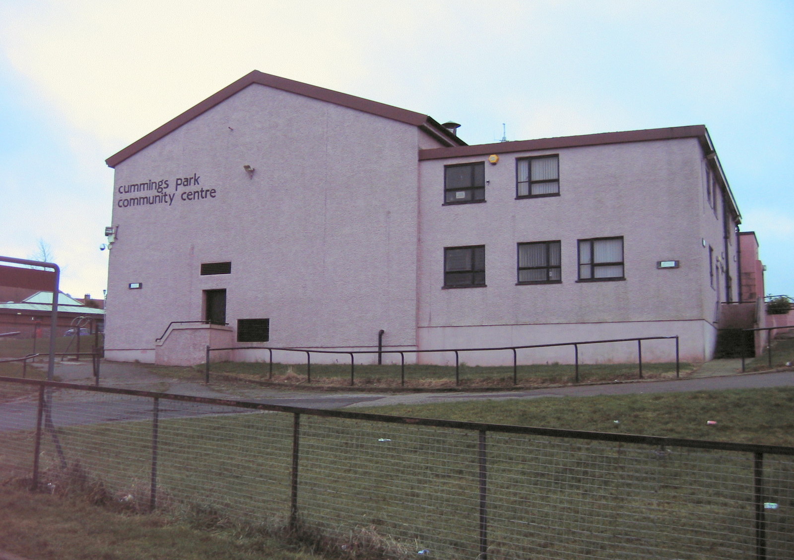
Cummings Park, Aberdeen
Cummings Park is an area of Aberdeen, Scotland. == References ==
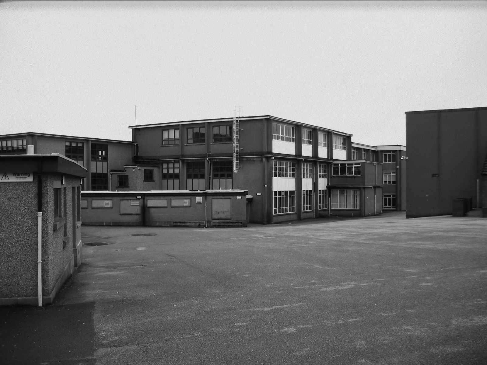
Northfield Academy
Northfield Academy is a secondary school in Northfield, Aberdeen, which opened in 1956. It serves the Mastrick and Northfield areas of Aberdeen. Local...

Aberdeen North (UK Parliament constituency)
Aberdeen North is a burgh constituency of the House of Commons of the Parliament of the United Kingdom and it elects one Member of Parliament (MP) by the...
Woodside (Aberdeen) railway station
Woodside (Aberdeen) railway station served the parish of Woodside, Aberdeen, Scotland from 1858 to 1937 on the Great North of Scotland Railway. == History... ==
Nearby Amenities
Located within 500m of 57.170478,-2.1474241Have you been to Middlefield?
Leave your review of Middlefield below (or comments, questions and feedback).