Norbury
Heritage Site in Gloucestershire Cotswold
England
Norbury
Norbury is a small village located in the county of Gloucestershire, England. Situated in the picturesque Cotswold Hills, it is renowned for its rich historical and cultural heritage, making it a popular destination for tourists and history enthusiasts alike.
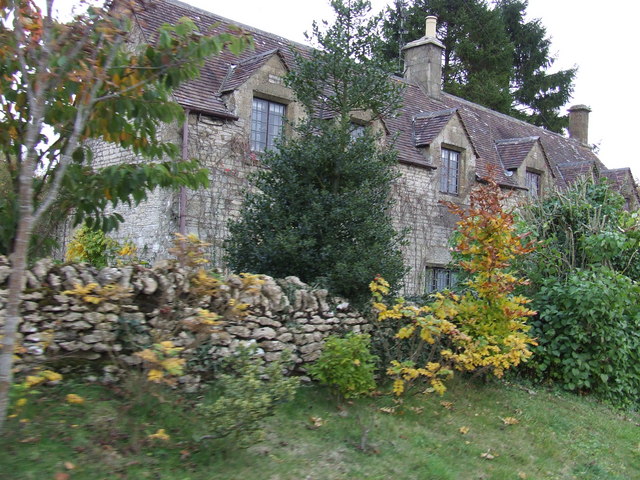
The village is centered around Norbury Manor, a Grade I listed building that dates back to the 16th century. The manor, with its distinctive Tudor architecture, stands as a testament to the area's past and offers visitors a glimpse into the lives of the affluent families who once resided there. The manor is surrounded by beautifully maintained gardens that add to its charm and provide a peaceful retreat for visitors.
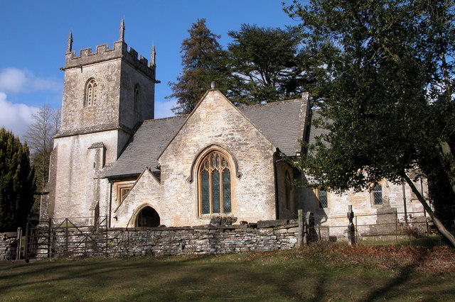
Norbury also boasts a number of other historical landmarks, including the parish church of St. Peter, which showcases stunning medieval architecture. The church is home to several notable features, such as a 13th-century font and a collection of intricate stained glass windows.
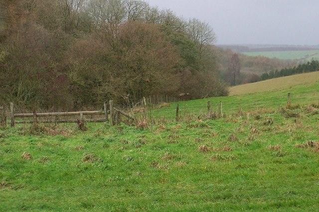
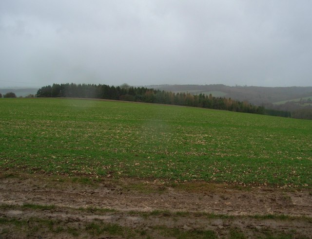
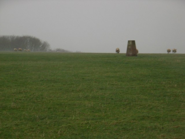
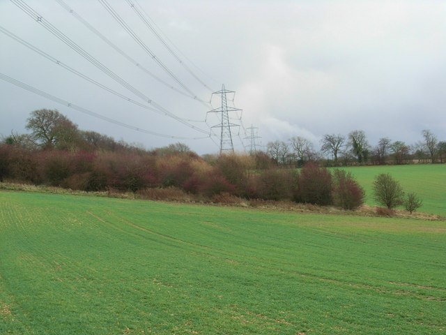
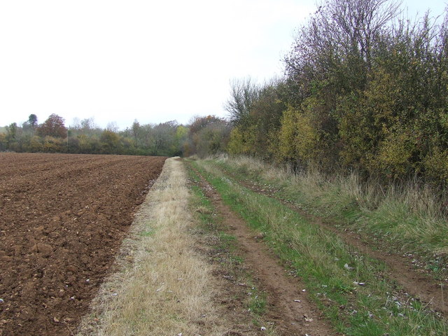
In addition to its architectural wonders, Norbury is blessed with natural beauty. The village is nestled in the heart of the Cotswolds Area of Outstanding Natural Beauty, offering visitors breathtaking views of rolling hills, meadows, and ancient woodlands. The area is perfect for outdoor activities such as hiking, cycling, and birdwatching.
Norbury is also known for its vibrant community spirit and hosts various events throughout the year, including traditional fairs and festivals that celebrate the village's history and culture.
Overall, Norbury in Gloucestershire is a captivating heritage site that combines stunning architecture, stunning natural surroundings, and a vibrant community, making it a must-visit destination for those seeking a glimpse into England's past.
If you have any feedback on the listing, please let us know in the comments section below.
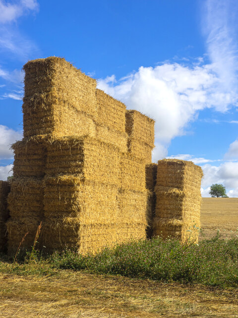
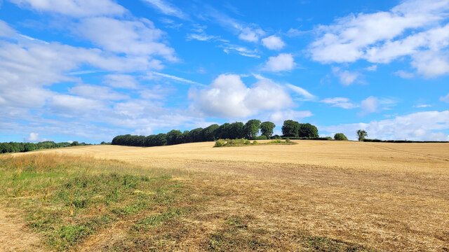
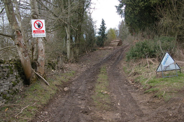
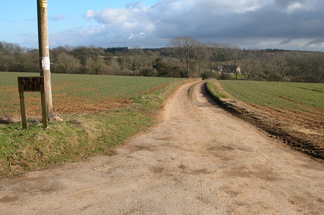
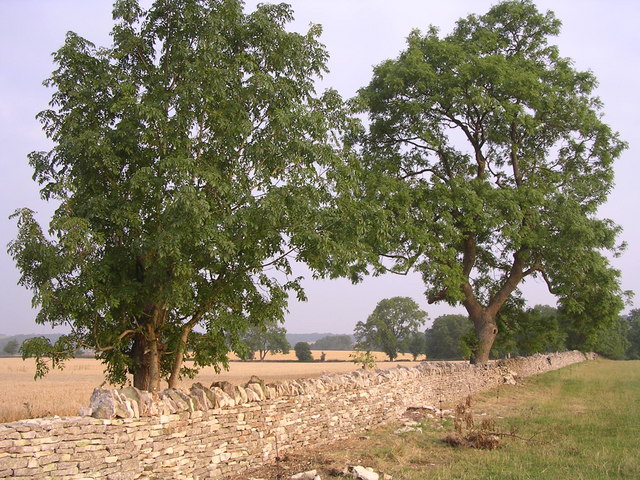
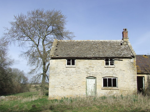
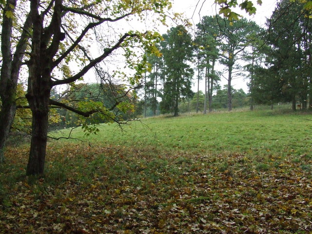
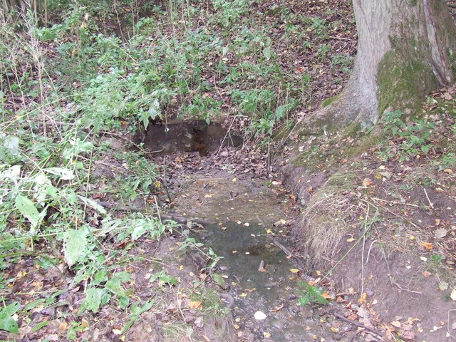
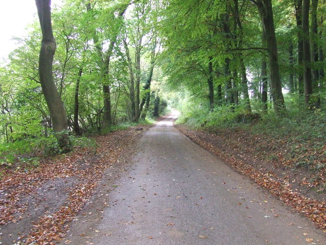
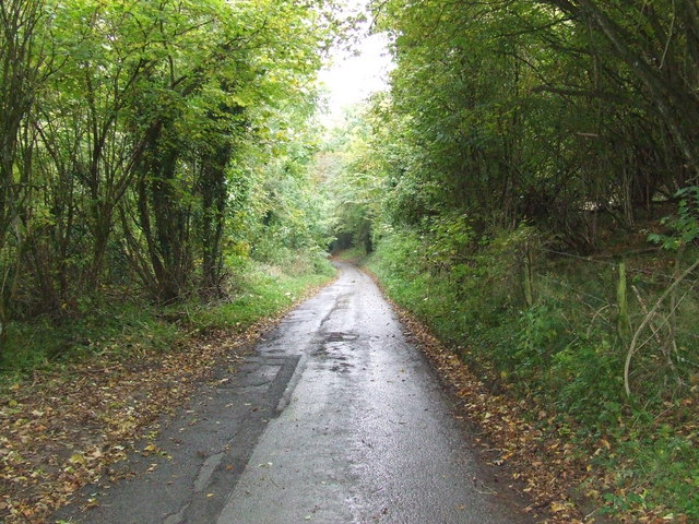
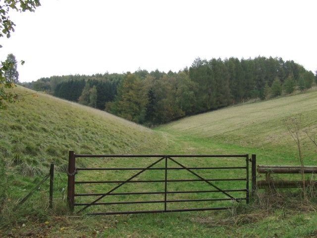
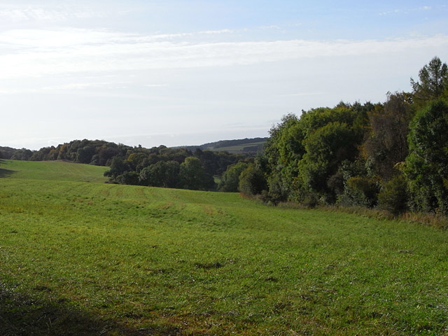
Norbury Images
Images are sourced within 2km of 51.837/-2.007 or Grid Reference SO9915. Thanks to Geograph Open Source API. All images are credited.
Norbury is located at Grid Ref: SO9915 (Lat: 51.837, Lng: -2.007)
Administrative County: Gloucestershire
District: Cotswold
Police Authority: Gloucestershire
What 3 Words
///numeral.this.enrolling. Near Charlton Kings, Gloucestershire
Nearby Locations
Related Wikis
Colesbourne
Colesbourne is a village and civil parish in the Cotswold district of Gloucestershire, England. The village and parish lies within the Cotswolds, a designated...

Cockleford Marsh
Cockleford Marsh (grid reference SO977133) is a 3.2-hectare (7.9-acre) biological Site of Special Scientific Interest in Gloucestershire, notified in 1991...

Cowley, Gloucestershire
Cowley is a village and civil parish in the Cotswold District of Gloucestershire, England. It lies between the A417 and A435 roads between Cheltenham...

Seven Springs, Gloucestershire
Seven Springs is a hamlet in the heavily wooded parish of Coberley in the Cotswold District of Gloucestershire in England, 4 miles (6.4 km) south of Cheltenham...
Nearby Amenities
Located within 500m of 51.837,-2.007Have you been to Norbury?
Leave your review of Norbury below (or comments, questions and feedback).