Norbury

Heritage Site in Gloucestershire Cotswold

England

Norbury

The A40 heading west near Northleach
The A40 heading west near Northleach Credit: Steve Daniels

Norbury is a small village located in the county of Gloucestershire, England. It is renowned for its rich history and is considered a prominent heritage site. The village is situated on the eastern edge of the Cotswolds, surrounded by picturesque countryside and rolling hills.

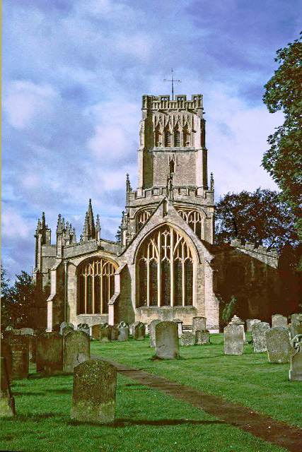
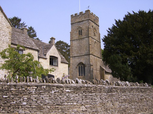
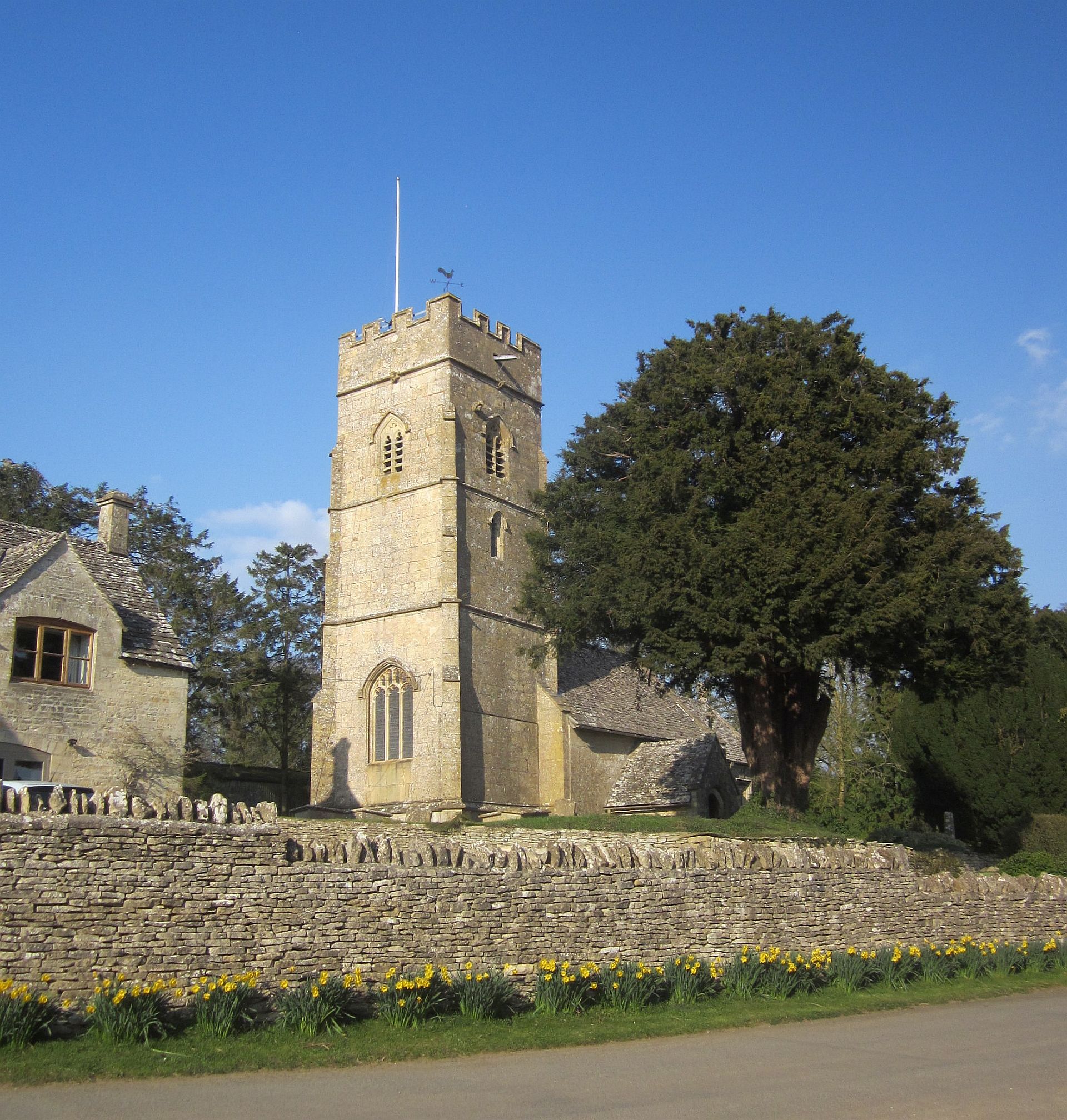
One of the most notable features of Norbury is its historic church, St. Peter's Church, which dates back to the 12th century. This Grade I listed building showcases stunning architectural elements, including a Norman doorway and a medieval stained glass window. Inside, visitors can admire beautiful carved pews and a 17th-century pulpit.

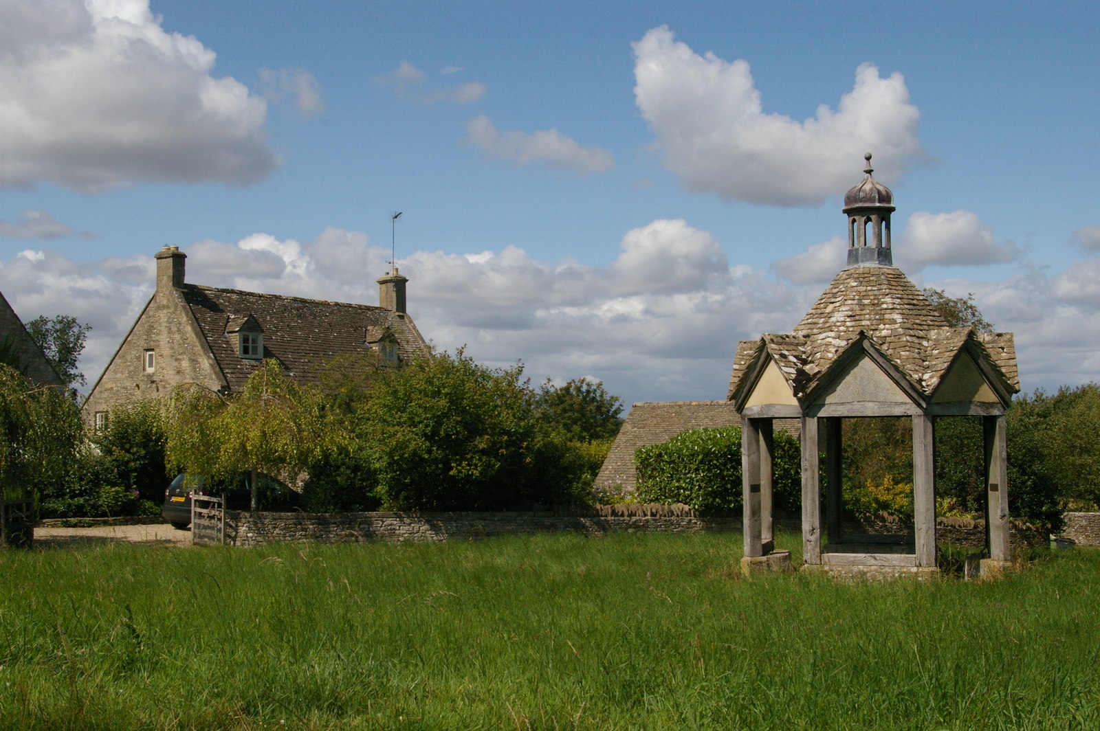
Norbury Manor, a magnificent Elizabethan manor house, is another highlight of the village. The manor is a Grade II* listed building and has been remarkably preserved over the centuries. Its stunning architecture and well-manicured gardens make it a popular attraction for tourists and history enthusiasts.

The village also boasts a number of quaint cottages and traditional stone houses, which add to its charming atmosphere. Walking through Norbury's narrow lanes and cobbled streets feels like stepping back in time.

Surrounding Norbury are several walking trails and footpaths, making it an ideal destination for nature lovers and outdoor enthusiasts. The village is also conveniently located near other popular attractions in Gloucestershire, such as the Cotswold Wildlife Park and the historic town of Cheltenham.

Overall, Norbury is a hidden gem in Gloucestershire, offering visitors a glimpse into its fascinating history and providing a serene escape in the heart of the English countryside.

If you have any feedback on the listing, please let us know in the comments section below.

Norbury Images

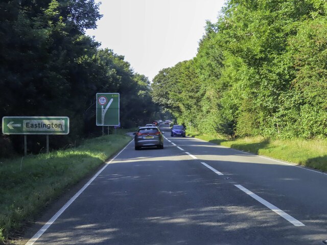
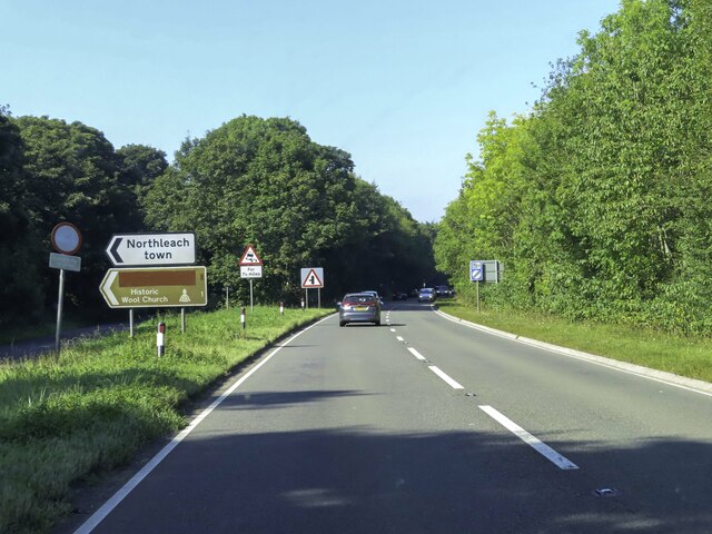
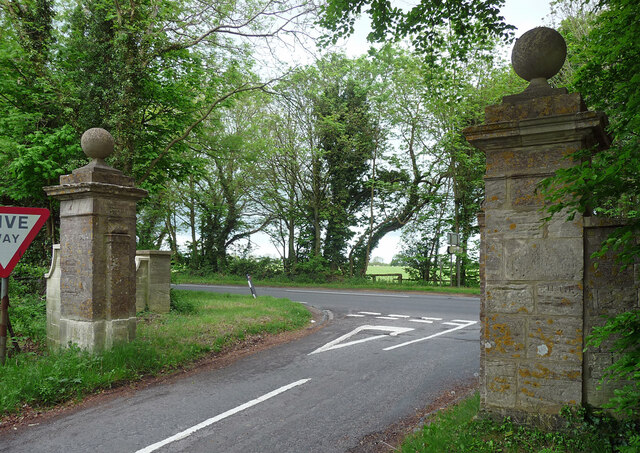
Images are sourced within 2km of 51.837/-1.818 or Grid Reference SP1215. Thanks to Geograph Open Source API. All images are credited.

The A40 heading west near Northleach
The A40 heading west near Hampnett
Gatepiers near Farmington Mid-C18th, ball finials. South-east of Farmington Lodge. Grade II listed.
Gatepiers near Farmington
Mid-C18th, ball finials. South-east of Farmington Lodge. Grade II listed.
A40 nearing the Fosse Way roundabout
A40 eastbound near Northleach
A40 south of Bunker's Hill
A40 south of Farmington
Fortey Road, Northleach Fortey Road was used as a location for the BBC mockumentary sitcom series 'This Country', which was written by Daisy May Cooper and Charlie Cooper and aired from 2017-2020. <span class="nowrap"><a title="https://en.wikipedia.org/wiki/This_Country" rel="nofollow ugc noopener" href="https://en.wikipedia.org/wiki/This_Country">Link</a><img style="margin-left:2px;" alt="External link" title="External link - shift click to open in new window" src="https://s1.geograph.org.uk/img/external.png" width="10" height="10"/></span>
Fortey Road, Northleach
Fortey Road was used as a location for the BBC mockumentary sitcom series 'This Country', which was written by Daisy May Cooper and Charlie Cooper and aired from 2017-2020. LinkExternal link
Stone Stile, Farmington On Gloucestershire footpath KNE30, running alongside the property called Fossleigh. There is an earlier image from 2012 <a href="https://www.geograph.org.uk/photo/3013378">SP1115 : Traditional Cotswold stile</a> and a close-up showing damage since <a href="https://www.geograph.org.uk/photo/7217557">SP1115 : Stone Stile, Farmington</a>.
Stone Stile, Farmington
On Gloucestershire footpath KNE30, running alongside the property called Fossleigh. There is an earlier image from 2012 SP1115 : Traditional Cotswold stile and a close-up showing damage since SP1115 : Stone Stile, Farmington.
Stone Stile, Farmington On Gloucestershire footpath KNE30, running alongside the property called Fossleigh. There is an earlier image from 2012 <a href="https://www.geograph.org.uk/photo/3013378">SP1115 : Traditional Cotswold stile</a> and a more recent image <a href="https://www.geograph.org.uk/photo/7217554">SP1115 : Stone Stile, Farmington</a>.
Stone Stile, Farmington
On Gloucestershire footpath KNE30, running alongside the property called Fossleigh. There is an earlier image from 2012 SP1115 : Traditional Cotswold stile and a more recent image SP1115 : Stone Stile, Farmington.
Stone Stile, Farmington Opposite Fosseleigh on Gloucestershire footpath KNE1. A view in better condition from 2012 can be seen on <a href="https://www.geograph.org.uk/photo/3013374">SP1115 : Footpath to Northleach Downs</a>
Stone Stile, Farmington
Opposite Fosseleigh on Gloucestershire footpath KNE1. A view in better condition from 2012 can be seen on SP1115 : Footpath to Northleach Downs
Roundabout on the A40, Northleach
Stone Stile, Northleach On Gloucestershire footpath KHA11 looking South from the wood at Gallows Hill.
Stone Stile, Northleach
On Gloucestershire footpath KHA11 looking South from the wood at Gallows Hill.
Dover House, Northleach Dates from about 1619 <span class="nowrap"><a title="https://historicengland.org.uk/listing/the-list/list-entry/1154890?section=official-list-entry" rel="nofollow ugc noopener" href="https://historicengland.org.uk/listing/the-list/list-entry/1154890?section=official-list-entry">Link</a><img style="margin-left:2px;" alt="External link" title="External link - shift click to open in new window" src="https://s1.geograph.org.uk/img/external.png" width="10" height="10"/></span>
Dover House, Northleach
Dates from about 1619 LinkExternal link
Show me another place!

Norbury is located at Grid Ref: SP1215 (Lat: 51.837, Lng: -1.818)

Administrative County: Gloucestershire

District: Cotswold

Police Authority: Gloucestershire

What 3 Words

///pelting.jots.recall. Near Northleach, Gloucestershire

Related Wikis

Farmington, Gloucestershire

Farmington is a village located in the county of Gloucestershire, in England. As of 2011 the village had 112 residents. It is mentioned in the Domesday...

Church of St Peter, Farmington

The Anglican Church of St Peter at Farmington in the Cotswold District of Gloucestershire, England was built in the 12th century. It is a grade I listed...

Northleach

Northleach is a market town and former civil parish, now in parish Northleach with Eastington, in the Cotswold district, in Gloucestershire, England. The...

RAF Northleach

Royal Air Force Northleach or more simply RAF Northleach is a former Royal Air Force satellite airfield near the Cotswold town of Northleach, Gloucestershire...

Northleach with Eastington

Northleach with Eastington is a civil parish in the English county of Gloucestershire that includes the town of Northleach and the hamlet of Eastington...

Eastington, Cotswold

Eastington is a hamlet and former civil parish, now in the parish of Northleach with Eastington, in the Cotswold district, in the English county of Gloucestershire...

Hampnett

Hampnett is a small village and civil parish in Gloucestershire, England, just west of the Fosse Way. It is situated west of the junction of the A40 and...

Church of St George, Hampnett

The Anglican Church of St George at Hampnett in the Cotswold District of Gloucestershire, England was built in 12th century. It is a grade I listed building...

Nearby Amenities

Located within 500m of 51.837,-1.818
Archaeological Site: megalith
Historic: archaeological_site
Megalith Type: long_barrow
Source: NPE
Lat/Long: 51.8376005/-1.8217507
Barrier: stile
Lat/Long: 51.8349869/-1.8123192
Barrier: stile
Lat/Long: 51.8350459/-1.8122771
Barrier: stile
Lat/Long: 51.8353864/-1.8165151
The data included in this document is from www.openstreetmap.org. The data is made available under ODbL.

Have you been to Norbury?

Leave your review of Norbury below (or comments, questions and feedback).