Bunker's Hill

Hill, Mountain in Gloucestershire Cotswold

England

Bunker's Hill

The A40 heading west near Northleach
The A40 heading west near Northleach Credit: Steve Daniels

Bunker's Hill is a prominent geographical feature located in the county of Gloucestershire, England. It is classified as a hill and not a mountain due to its relatively modest elevation. The hill sits within the Cotswold Hills, a designated Area of Outstanding Natural Beauty, and offers stunning panoramic views of the surrounding countryside.

Rising to a height of approximately 190 meters (623 feet), Bunker's Hill is made up of ancient limestone and is known for its distinct shape, which resembles a rounded dome. The hill is covered in lush vegetation, including grasses, shrubs, and scattered trees, creating a picturesque landscape that is popular among nature enthusiasts and hikers.

Bunker's Hill is easily accessible by various footpaths and trails that wind their way up the slopes, making it a popular destination for outdoor activities such as hiking, walking, and picnicking. From the summit, visitors are rewarded with breathtaking vistas of the rolling hills, meandering rivers, and charming villages that characterize the Gloucestershire countryside.

The hill is also of historical significance, with evidence of Iron Age settlements and ancient burial mounds found in the surrounding area. It is believed that the hill was used as a defensive position during various conflicts throughout history, owing to its strategic location and commanding views.

Overall, Bunker's Hill in Gloucestershire offers a beautiful natural setting for outdoor enthusiasts, history buffs, and those seeking a tranquil escape in the heart of the English countryside.

If you have any feedback on the listing, please let us know in the comments section below.

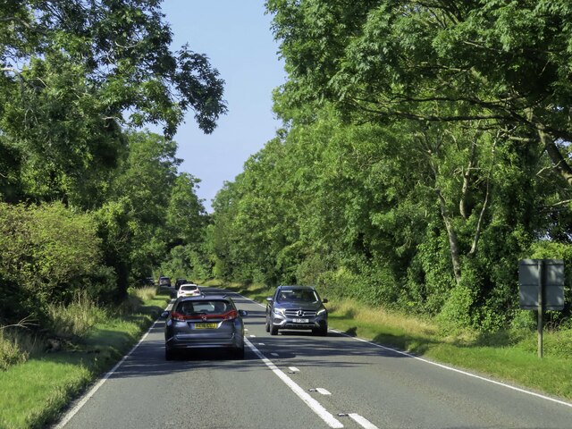
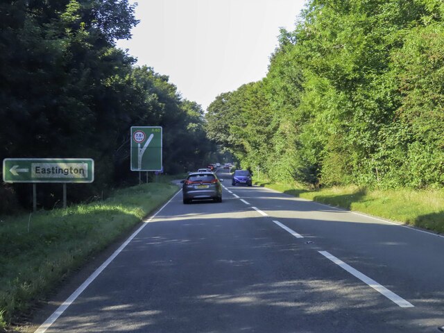
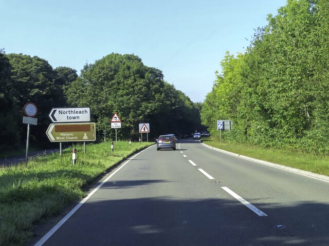
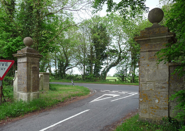
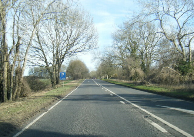
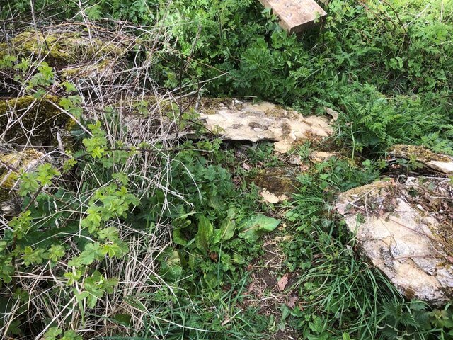
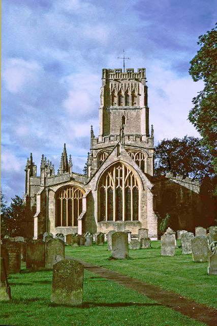
Bunker's Hill Images

Images are sourced within 2km of 51.83521/-1.8146817 or Grid Reference SP1215. Thanks to Geograph Open Source API. All images are credited.

The A40 heading west near Northleach
Gatepiers near Farmington Mid-C18th, ball finials. South-east of Farmington Lodge. Grade II listed.
Gatepiers near Farmington
Mid-C18th, ball finials. South-east of Farmington Lodge. Grade II listed.
A40 eastbound near Northleach
A40 south of Bunker's Hill
A40 south of Farmington
A40 near New Barn Farm
Fortey Road, Northleach Fortey Road was used as a location for the BBC mockumentary sitcom series 'This Country', which was written by Daisy May Cooper and Charlie Cooper and aired from 2017-2020. <span class="nowrap"><a title="https://en.wikipedia.org/wiki/This_Country" rel="nofollow ugc noopener" href="https://en.wikipedia.org/wiki/This_Country">Link</a><img style="margin-left:2px;" alt="External link" title="External link - shift click to open in new window" src="https://s1.geograph.org.uk/img/external.png" width="10" height="10"/></span>
Fortey Road, Northleach
Fortey Road was used as a location for the BBC mockumentary sitcom series 'This Country', which was written by Daisy May Cooper and Charlie Cooper and aired from 2017-2020. LinkExternal link
Stone Stile, Farmington On Gloucestershire footpath KNE30, running alongside the property called Fossleigh. There is an earlier image from 2012 <a href="https://www.geograph.org.uk/photo/3013378">SP1115 : Traditional Cotswold stile</a> and a close-up showing damage since <a href="https://www.geograph.org.uk/photo/7217557">SP1115 : Stone Stile, Farmington</a>.
Stone Stile, Farmington
On Gloucestershire footpath KNE30, running alongside the property called Fossleigh. There is an earlier image from 2012 SP1115 : Traditional Cotswold stile and a close-up showing damage since SP1115 : Stone Stile, Farmington.
Stone Stile, Farmington On Gloucestershire footpath KNE30, running alongside the property called Fossleigh. There is an earlier image from 2012 <a href="https://www.geograph.org.uk/photo/3013378">SP1115 : Traditional Cotswold stile</a> and a more recent image <a href="https://www.geograph.org.uk/photo/7217554">SP1115 : Stone Stile, Farmington</a>.
Stone Stile, Farmington
On Gloucestershire footpath KNE30, running alongside the property called Fossleigh. There is an earlier image from 2012 SP1115 : Traditional Cotswold stile and a more recent image SP1115 : Stone Stile, Farmington.
Stone Stile, Farmington Opposite Fosseleigh on Gloucestershire footpath KNE1. A view in better condition from 2012 can be seen on <a href="https://www.geograph.org.uk/photo/3013374">SP1115 : Footpath to Northleach Downs</a>
Stone Stile, Farmington
Opposite Fosseleigh on Gloucestershire footpath KNE1. A view in better condition from 2012 can be seen on SP1115 : Footpath to Northleach Downs
Roundabout on the A40, Northleach
Stone Stile, Northleach On Gloucestershire footpath KHA11 looking South from the wood at Gallows Hill.
Stone Stile, Northleach
On Gloucestershire footpath KHA11 looking South from the wood at Gallows Hill.
Dover House, Northleach Dates from about 1619 <span class="nowrap"><a title="https://historicengland.org.uk/listing/the-list/list-entry/1154890?section=official-list-entry" rel="nofollow ugc noopener" href="https://historicengland.org.uk/listing/the-list/list-entry/1154890?section=official-list-entry">Link</a><img style="margin-left:2px;" alt="External link" title="External link - shift click to open in new window" src="https://s1.geograph.org.uk/img/external.png" width="10" height="10"/></span>
Dover House, Northleach
Dates from about 1619 LinkExternal link
Show me another place!

Bunker's Hill is located at Grid Ref: SP1215 (Lat: 51.83521, Lng: -1.8146817)

Administrative County: Gloucestershire

District: Cotswold

Police Authority: Gloucestershire

What 3 Words

///beaters.deck.stopwatch. Near Northleach, Gloucestershire

Related Wikis

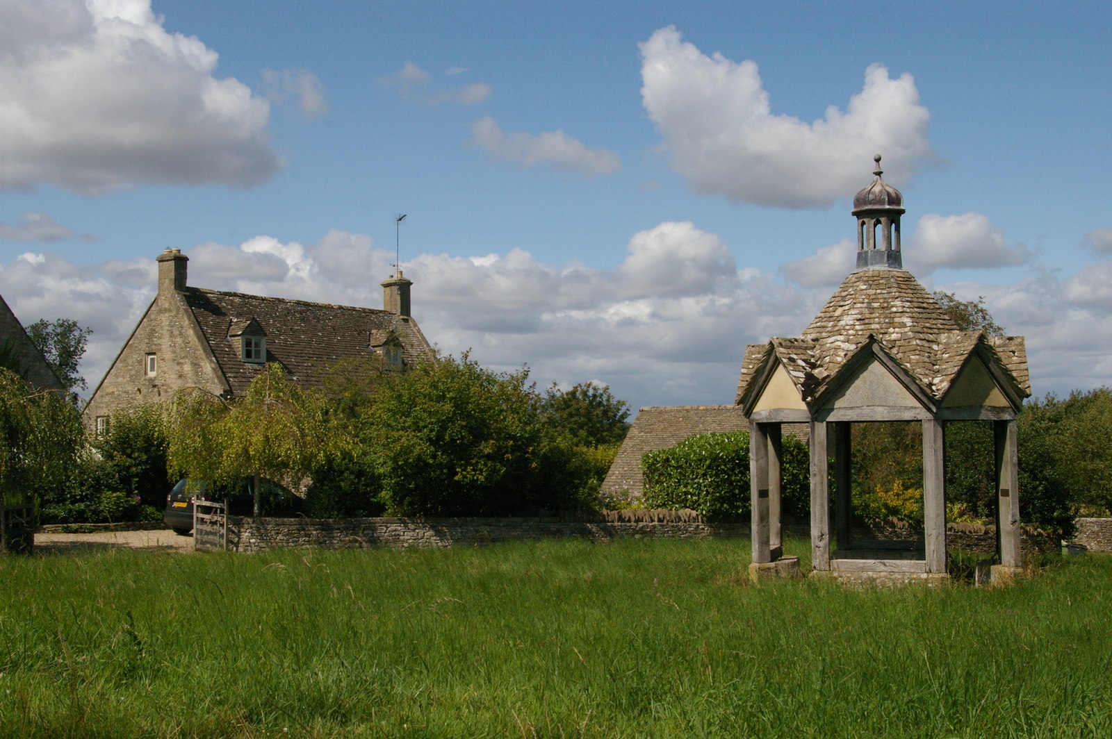
Farmington, Gloucestershire

Farmington is a village located in the county of Gloucestershire, in England. As of 2011 the village had 112 residents. It is mentioned in the Domesday...

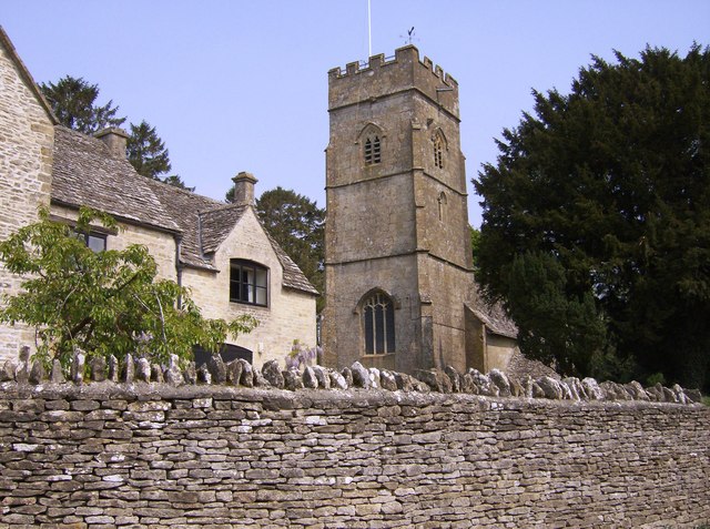
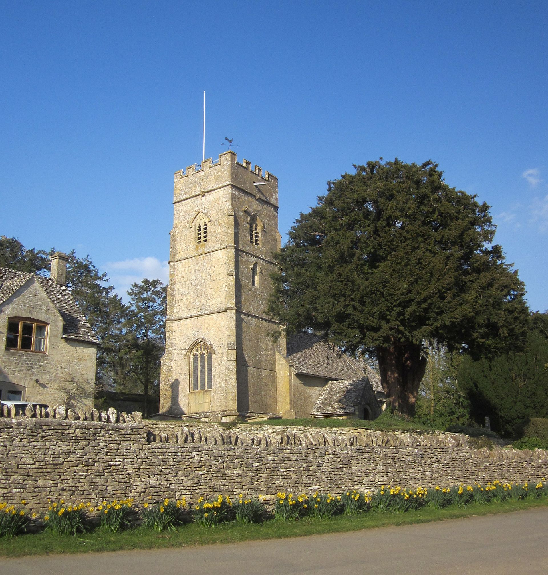
Church of St Peter, Farmington

The Anglican Church of St Peter at Farmington in the Cotswold District of Gloucestershire, England was built in the 12th century. It is a grade I listed...

Northleach with Eastington

Northleach with Eastington is a civil parish in the English county of Gloucestershire that includes the town of Northleach and the hamlet of Eastington...

Northleach

Northleach is a market town and former civil parish, now in parish Northleach with Eastington, in the Cotswold district, in Gloucestershire, England. The...

RAF Northleach

Royal Air Force Northleach or more simply RAF Northleach is a former Royal Air Force satellite airfield near the Cotswold town of Northleach, Gloucestershire...

Eastington, Cotswold

Eastington is a hamlet and former civil parish, now in the parish of Northleach with Eastington, in the Cotswold district, in the English county of Gloucestershire...

Hampnett

Hampnett is a small village and civil parish in Gloucestershire, England, just west of the Fosse Way. It is situated west of the junction of the A40 and...

Church of St George, Hampnett

The Anglican Church of St George at Hampnett in the Cotswold District of Gloucestershire, England was built in 12th century. It is a grade I listed building...

Nearby Amenities

Located within 500m of 51.83521,-1.8146817
Bus Stop
Farmington Close
Bus: yes
Naptan AtcoCode: 1600GLC447
Naptan Bearing: E
Naptan CommonName: Farmington Close
Naptan Indicator: Opp
Naptan NaptanCode: glogdmgj
Naptan Street: Main Street
Naptan Verified: no
Public Transport: platform
Source: naptan_import
Lat/Long: 51.8372711/-1.809577
Bus Stop
Farmington Close
Bus: yes
Naptan AtcoCode: 1600GLC448
Naptan Bearing: W
Naptan CommonName: Farmington Close
Naptan NaptanCode: glogdmga
Naptan Street: Main Street
Naptan Verified: no
Public Transport: platform
Source: naptan_import
Lat/Long: 51.8372445/-1.8097948
Barrier: stile
Lat/Long: 51.8349869/-1.8123192
Barrier: stile
Lat/Long: 51.8350459/-1.8122771
Barrier: stile
Lat/Long: 51.8349422/-1.8085386
Barrier: stile
Lat/Long: 51.8353864/-1.8165151
Barrier: stile
Lat/Long: 51.8366063/-1.808045
The data included in this document is from www.openstreetmap.org. The data is made available under ODbL.

Have you been to Bunker's Hill?

Leave your review of Bunker's Hill below (or comments, questions and feedback).