Mercombe Wood
Wood, Forest in Gloucestershire Cotswold
England
Mercombe Wood
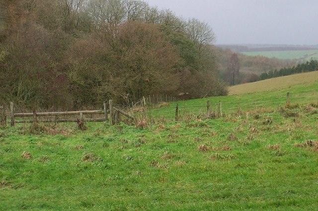
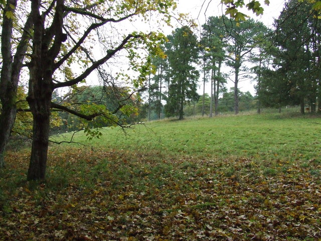
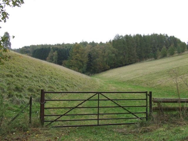
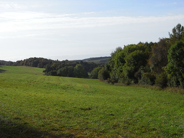
Mercombe Wood is a picturesque forest located in the county of Gloucestershire, England. Stretching over an area of approximately 100 acres, this woodland is known for its natural beauty and diverse ecosystem. The wood is situated near the village of Mercombe, providing a tranquil escape from the bustling city life.
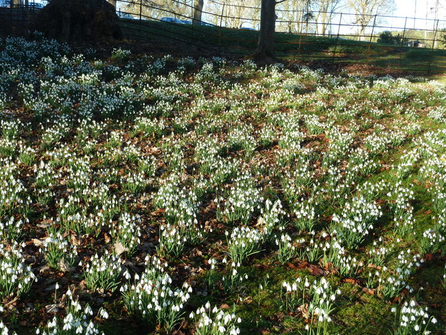
As one explores Mercombe Wood, they will be greeted by a dense canopy of trees, predominantly consisting of oak, beech, and birch. These towering trees create a serene atmosphere, allowing visitors to immerse themselves in the peaceful surroundings. The forest floor is carpeted with a variety of wildflowers, mosses, and ferns, providing a vibrant burst of color throughout the seasons.
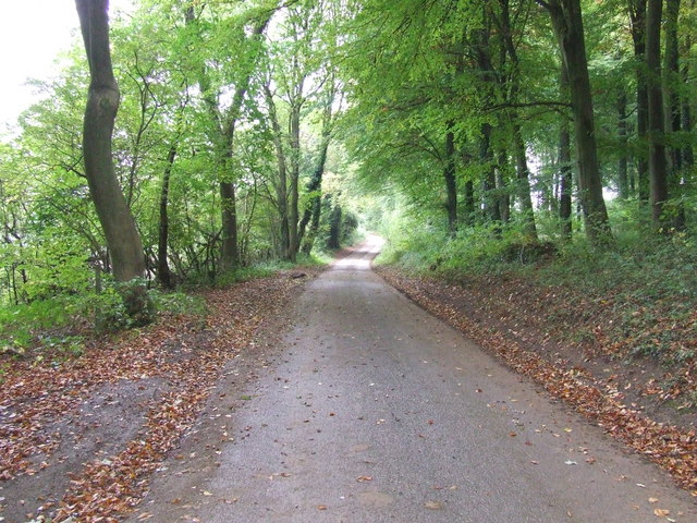
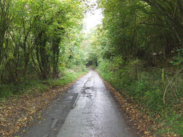
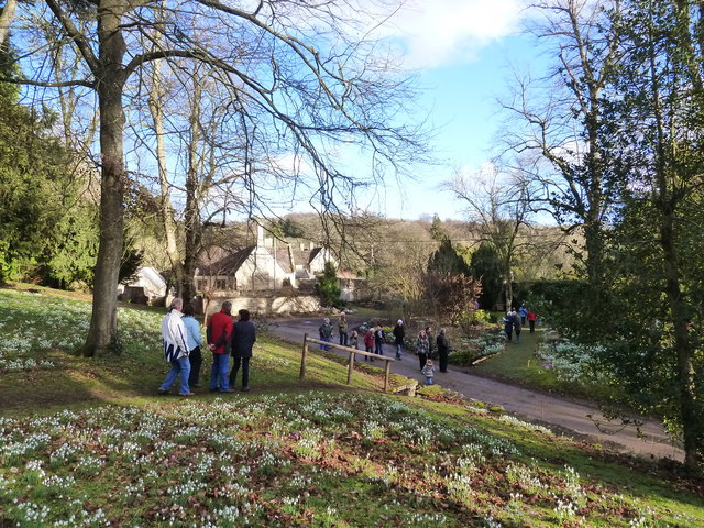
The wood is crisscrossed by a network of footpaths, offering visitors the opportunity to explore its hidden gems. Nature enthusiasts can embark on a leisurely stroll along the well-marked trails, taking in the sights and sounds of the woodland. There are also several benches strategically placed along the paths, providing ideal spots for contemplation and birdwatching.
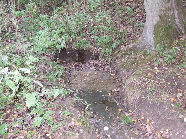
Mercombe Wood is home to a diverse range of wildlife, making it a popular destination for nature lovers. Bird species such as woodpeckers, owls, and warblers can be spotted among the branches, while small mammals like squirrels and rabbits scurry through the undergrowth. The wood also supports a rich insect population, with butterflies and bees fluttering from flower to flower.
Overall, Mercombe Wood is a haven for those seeking solace in nature. With its enchanting woodland, scenic trails, and abundant wildlife, this Gloucestershire gem offers a truly immersive and rejuvenating experience for visitors of all ages.
If you have any feedback on the listing, please let us know in the comments section below.
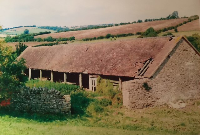
Mercombe Wood Images
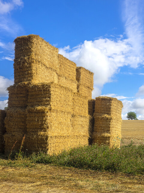
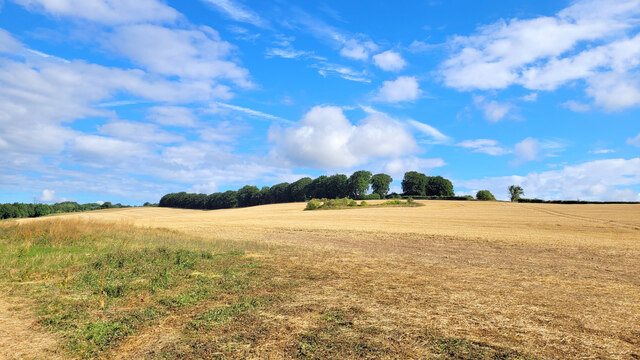
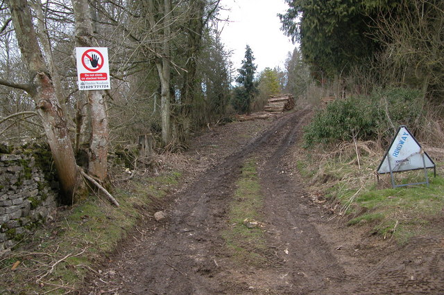
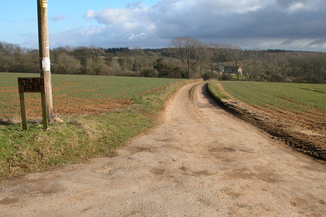
Images are sourced within 2km of 51.836111/-2.0093285 or Grid Reference SO9915. Thanks to Geograph Open Source API. All images are credited.

Mercombe Wood is located at Grid Ref: SO9915 (Lat: 51.836111, Lng: -2.0093285)
Administrative County: Gloucestershire
District: Cotswold
Police Authority: Gloucestershire
What 3 Words
///thighs.chain.blitz. Near Charlton Kings, Gloucestershire
Nearby Locations
Related Wikis
Colesbourne
Colesbourne is a village and civil parish in the Cotswold district of Gloucestershire, England. The village and parish lies within the Cotswolds, a designated...

Cockleford Marsh
Cockleford Marsh (grid reference SO977133) is a 3.2-hectare (7.9-acre) biological Site of Special Scientific Interest in Gloucestershire, notified in 1991...

Cowley, Gloucestershire
Cowley is a village and civil parish in the Cotswold District of Gloucestershire, England. It lies between the A417 and A435 roads between Cheltenham...

Seven Springs, Gloucestershire
Seven Springs is a hamlet in the heavily wooded parish of Coberley in the Cotswold District of Gloucestershire in England, 4 miles (6.4 km) south of Cheltenham...
Coberley
Coberley is a village and civil parish in the Cotswold District of Gloucestershire in England, 4 miles (6.4 km) south of Cheltenham. It lies at the confluence...

Withington, Gloucestershire
Withington is a Cotswold village and civil parish in Gloucestershire, England, about 7 miles (11 km) southeast of Cheltenham and 8 miles (13 km) north...

Lineover Wood
Lineover Wood (grid reference SO987187) is a 20.3-hectare (50-acre) biological Site of Special Scientific Interest in Gloucestershire, notified in 1986...

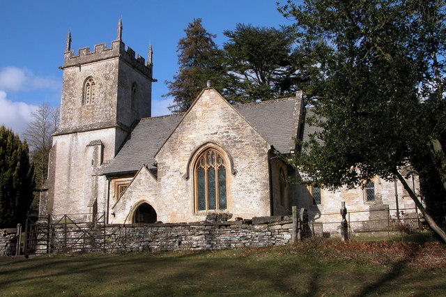
Church of St Michael, Withington
The Anglican Church of St Michael at Withington in the Cotswold District of Gloucestershire, England was built in the 12th century. It is a grade I listed...
Nearby Amenities
Located within 500m of 51.836111,-2.0093285Have you been to Mercombe Wood?
Leave your review of Mercombe Wood below (or comments, questions and feedback).