Myot Hill
Heritage Site in Stirlingshire
Scotland
Myot Hill
Myot Hill, located in Stirlingshire, Scotland, is a significant heritage site with a rich historical background. Situated amidst stunning natural surroundings, the hill is known for its archaeological remains and ancient structures.
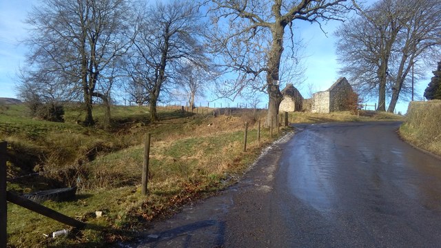
One of the most prominent features of Myot Hill is the Iron Age hillfort, which dates back to around 200 BC. The hillfort, strategically positioned on the summit of the hill, offers commanding views of the surrounding landscape. The fort's defensive ramparts and ditches are still visible, providing valuable insights into the defensive strategies employed by the ancient inhabitants.
Excavations carried out at Myot Hill have unearthed numerous artifacts, including pottery fragments, tools, and animal bones, shedding light on the daily lives of the people who lived here centuries ago. These findings have helped archaeologists gain a deeper understanding of the Iron Age settlement and its inhabitants.
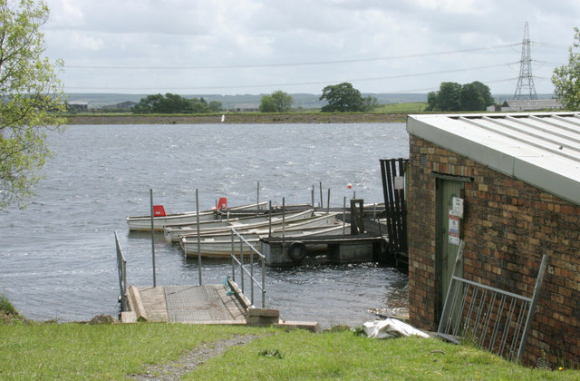
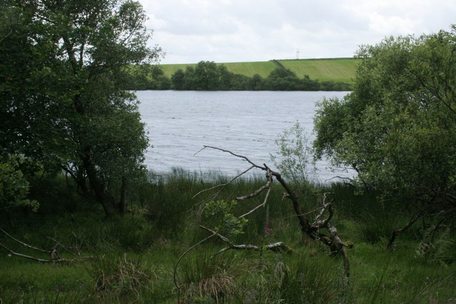
The hill is also associated with local folklore and legends. According to one tale, a mythical creature known as a water kelpie was said to inhabit the nearby Loch Myot. The kelpie was believed to have the ability to shape-shift into various forms, often luring unsuspecting victims into the water. This folklore adds an intriguing aspect to the heritage site, captivating visitors with its mystical allure.
Today, Myot Hill is a popular destination for history enthusiasts, hikers, and nature lovers. Its stunning views, archaeological significance, and folklore make it a unique and captivating heritage site in Stirlingshire.
If you have any feedback on the listing, please let us know in the comments section below.
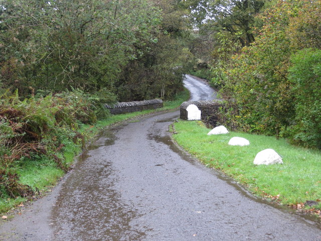
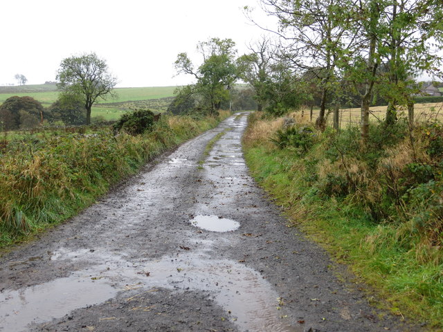
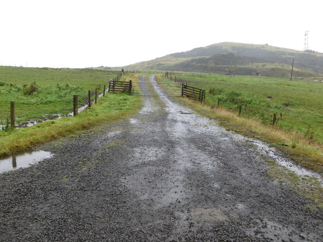
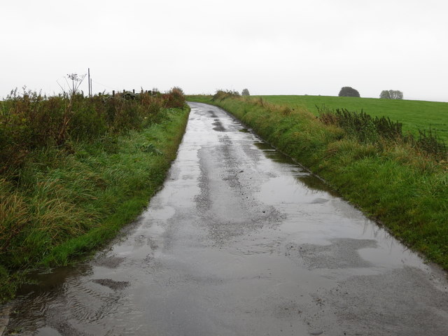
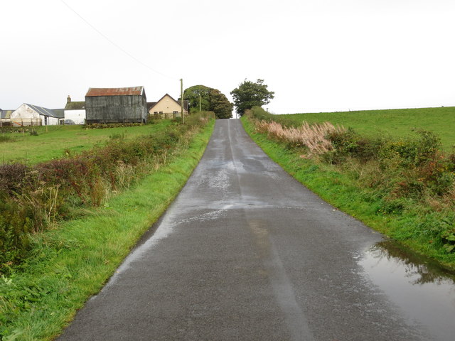
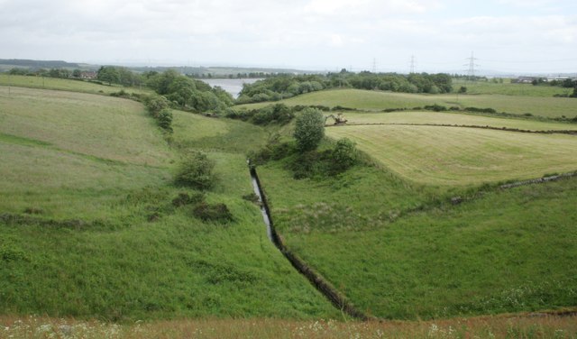
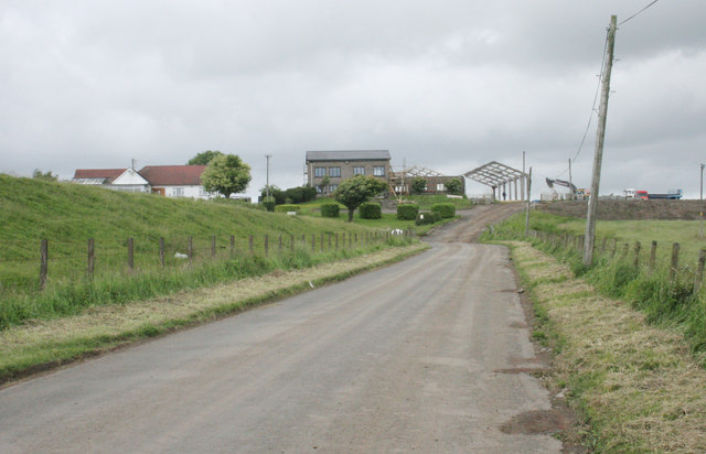
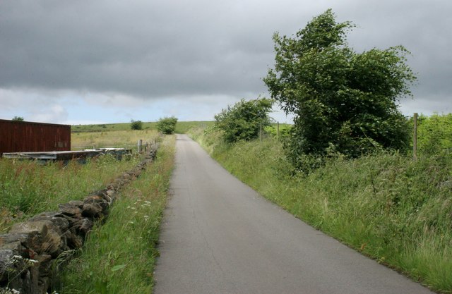
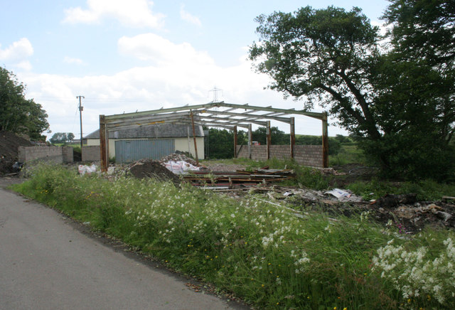
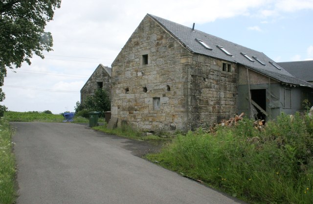
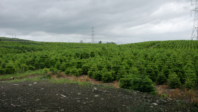
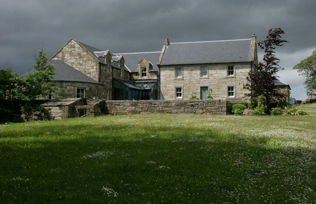
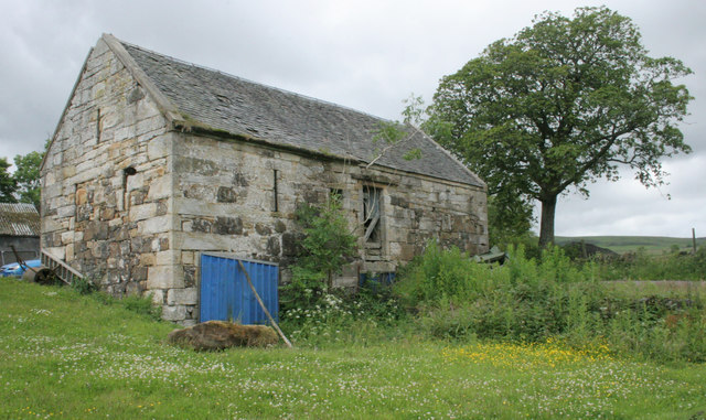
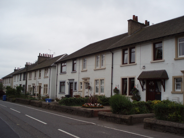
Myot Hill Images
Images are sourced within 2km of 56.02/-3.957 or Grid Reference NS7882. Thanks to Geograph Open Source API. All images are credited.
Myot Hill is located at Grid Ref: NS7882 (Lat: 56.02, Lng: -3.957)
Unitary Authority: Falkirk
Police Authority: Forth Valley
What 3 Words
///shady.soups.offshore. Near Dunipace, Falkirk
Related Wikis

Fankerton
Fankerton is a small village which lies within the Falkirk council area of Scotland. The village is 1 mile (1.6 km) west of Denny and 6.3 miles (10.1 km...

Strathcarron Hospice
Strathcarron Hospice is a free palliative care resource in Denny, Scotland, serving people in the Forth Valley and North Lanarkshire areas. It was established...
Stoneywood, Falkirk
Stoneywood is a small village which lies in the Falkirk council area of Scotland. The village is located 0.1 miles (0.2 km) west of Denny and 7.3 miles...
Herbertshire Castle
Herbertshire Castle was a castle built in the Barony of Herbertshire in the early fifteenth century, located near Dunipace, Falkirk, central Scotland....

Braeface
Braeface is a village in Falkirk, Scotland. == External links == Canmore - Braeface site record

Dunipace
Dunipace (Scottish Gaelic: Dùn a' Bhàis) is a village in the west of the Falkirk council area of Scotland. The village is 6.3 miles (10.1 km) south of...

Denny railway station
Denny railway station served the town of Denny, Falkirk, Scotland from 1858 to 1930 on the Scottish Central Railway. == History == The station opened on...
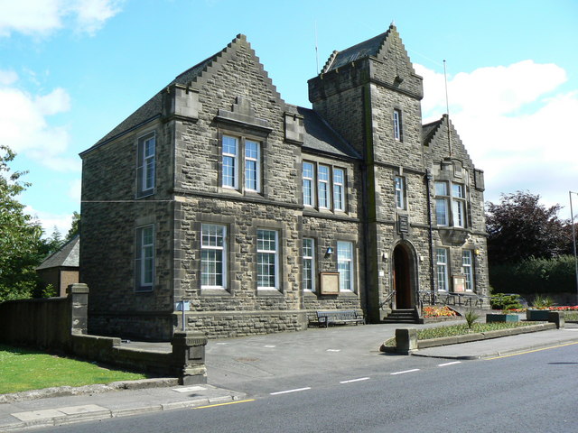
Denny Town House
Denny Town House is a municipal building in Glasgow Road, Denny, Falkirk, Scotland. The structure is used by Falkirk Council for the provision of local...
Related Videos
nature trail waterfall
sometimes it's good to go off the beaten path.

Double bag when you go a dog walk
walking the dog, litter picking go hand in hand. Keep the area clean & tidy for my kids,my dog & me.

WIND, RAIN AND WATER IN SUNNY SCOTLAND 🤣🤣
New video coming in the next few days.
Nearby Amenities
Located within 500m of 56.02,-3.957Have you been to Myot Hill ?
Leave your review of Myot Hill below (or comments, questions and feedback).