Myrddin's Quoit
Heritage Site in Carmarthenshire
Wales
Myrddin's Quoit
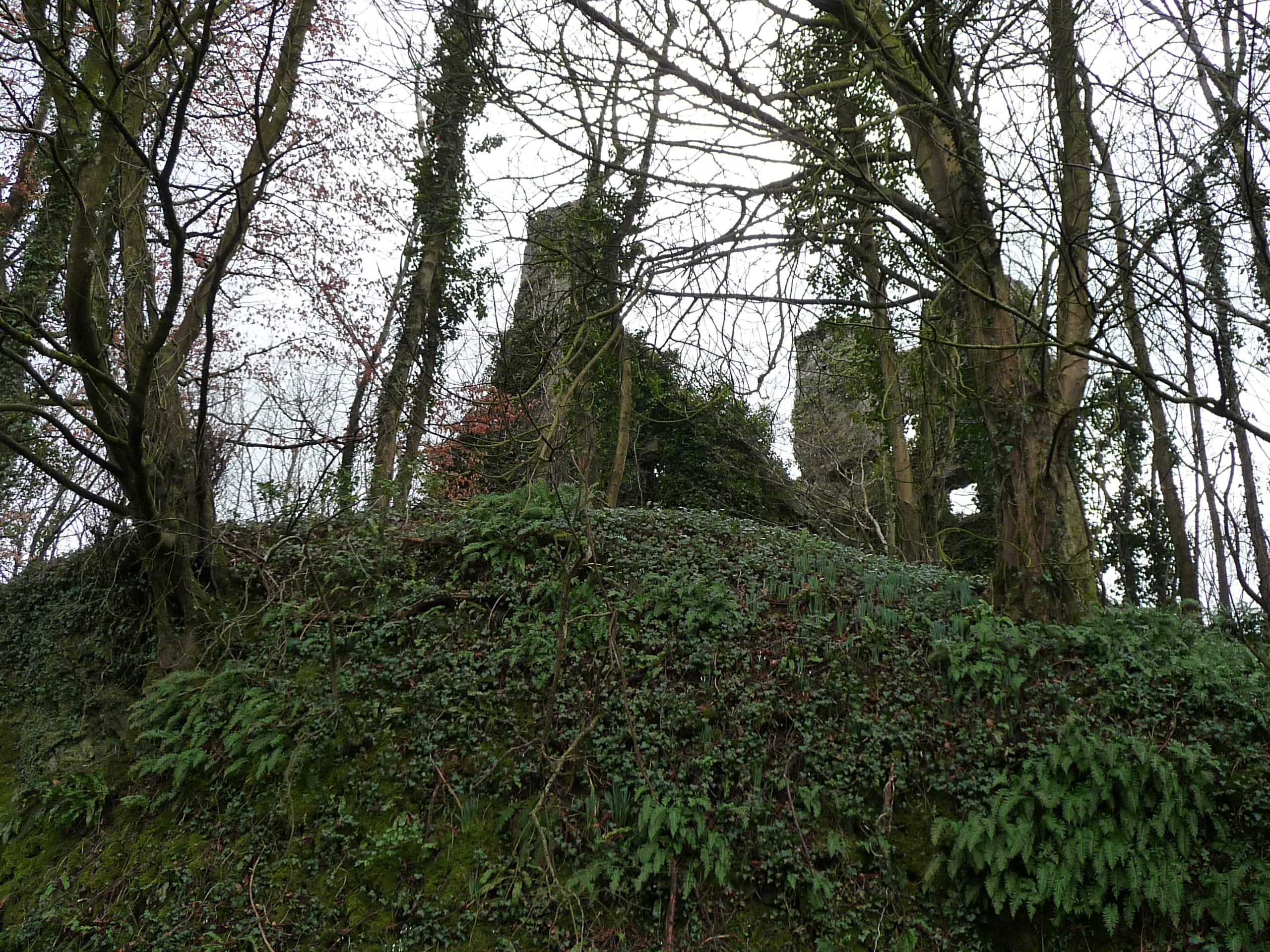
Myrddin's Quoit is a significant heritage site located in Carmarthenshire, Wales. This ancient burial chamber, also known as a dolmen or cromlech, is situated on the eastern side of the Preseli Hills, near the village of Mynachlog-ddu.
Dating back to the Neolithic period, Myrddin's Quoit is estimated to have been constructed around 4000 to 3000 BC. The dolmen consists of four large standing stones supporting a massive capstone, creating a chamber-like structure. The capstone, which weighs several tons, measures approximately 4 meters in length and 2.5 meters in width. The stones used in its construction are believed to be of local origin, making it a remarkable example of ancient craftsmanship.
Despite being partially collapsed, the monument's impressive size and design still evoke a sense of wonder and awe. It is believed to have served as a communal burial site for the local community during the Neolithic period, providing a final resting place for their deceased.
The cultural and historical significance of Myrddin's Quoit extends beyond its architectural value. It is associated with the legend of Myrddin, a mythical figure from Welsh folklore who is said to have possessed prophetic powers. According to local legend, the dolmen was created by Myrddin himself, adding a sense of mystique and enchantment to the site.
Today, Myrddin's Quoit is a protected heritage site, attracting visitors from around the world who are intrigued by its historical, archaeological, and mythical significance. It stands as a testament to the ingenuity and cultural heritage of the ancient inhabitants of Carmarthenshire.
If you have any feedback on the listing, please let us know in the comments section below.
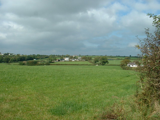
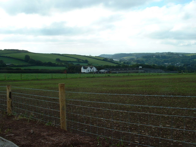
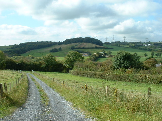
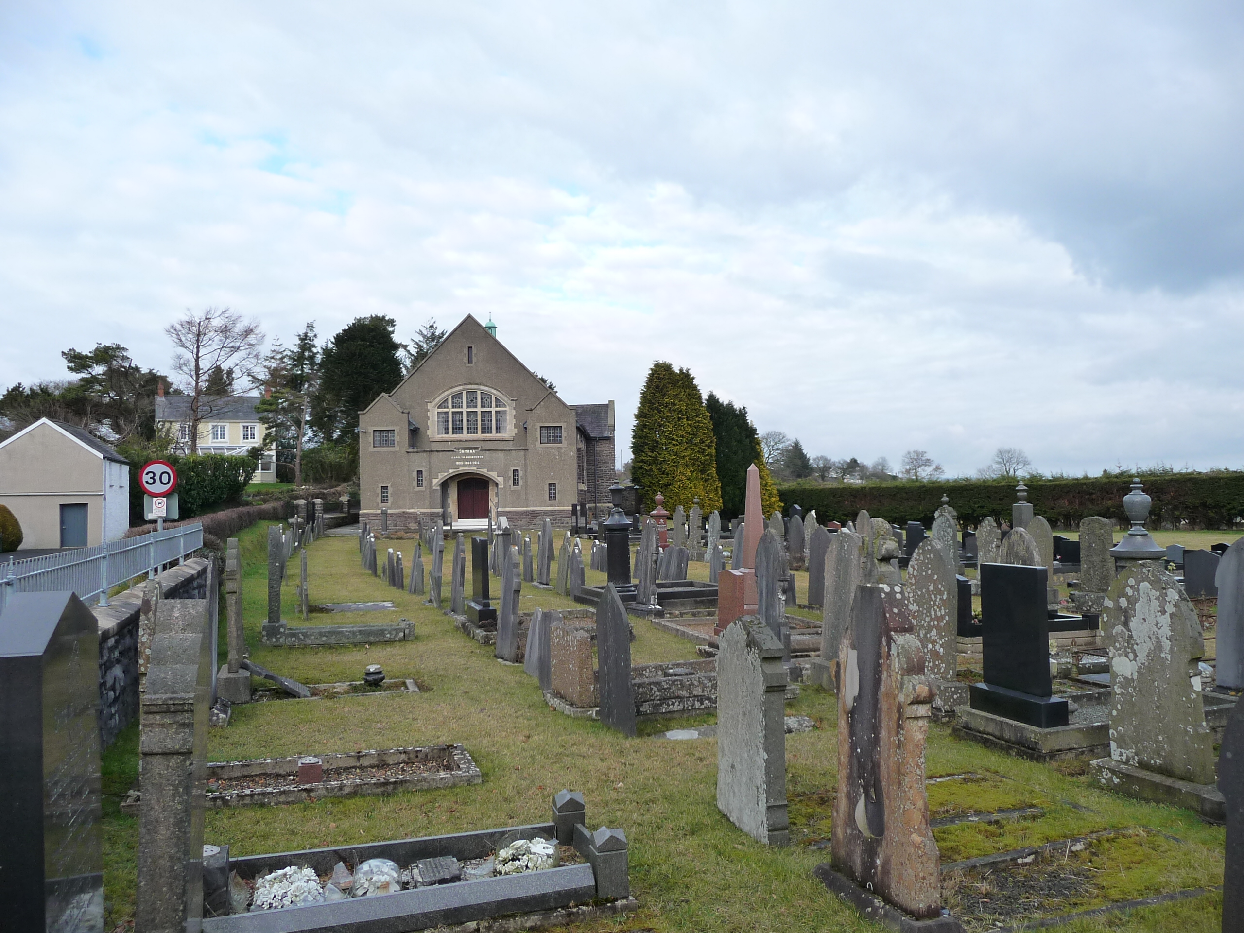
Myrddin's Quoit Images
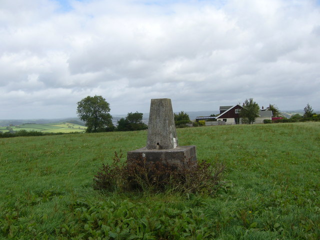
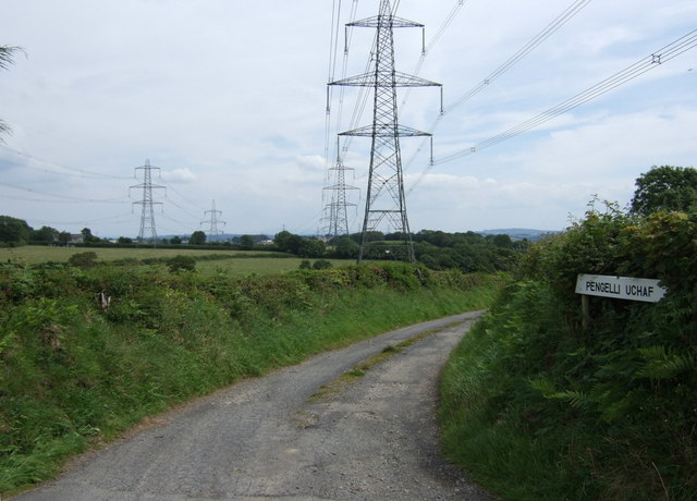
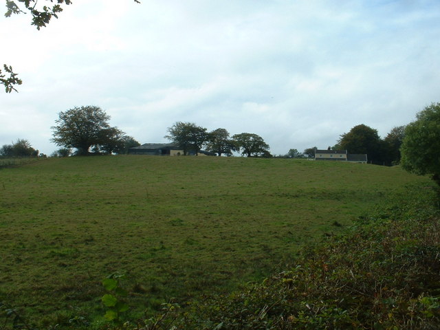
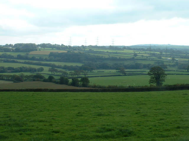
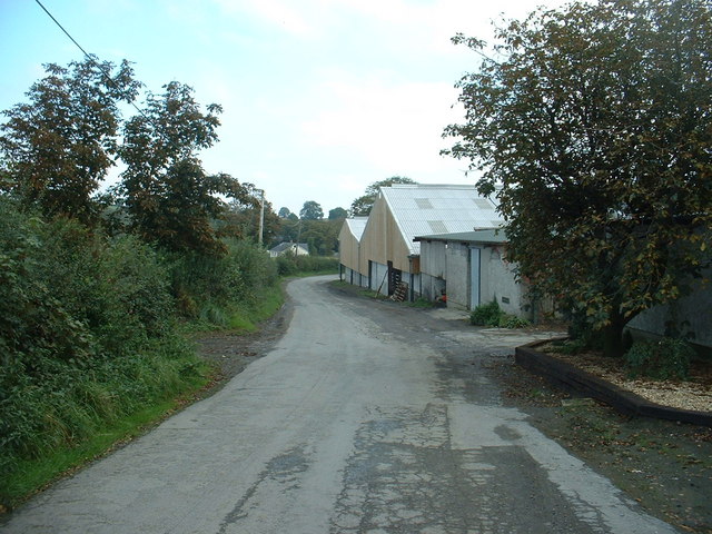
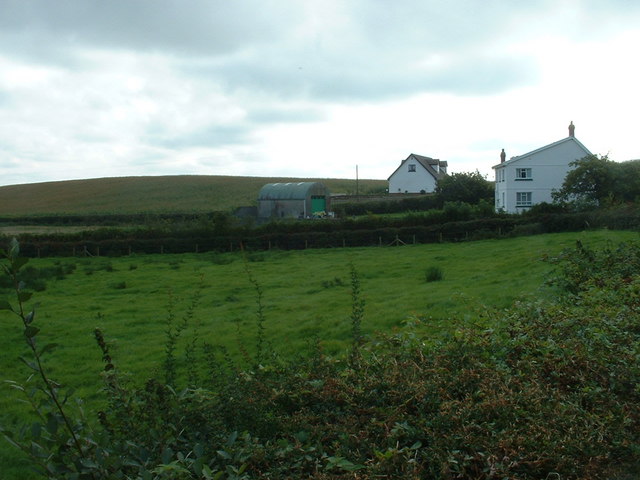
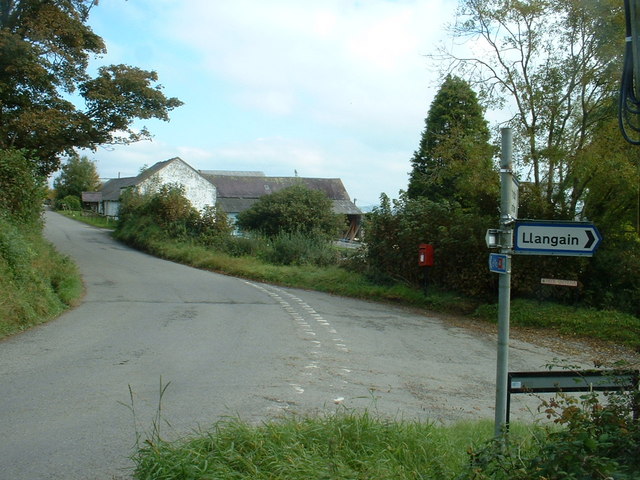
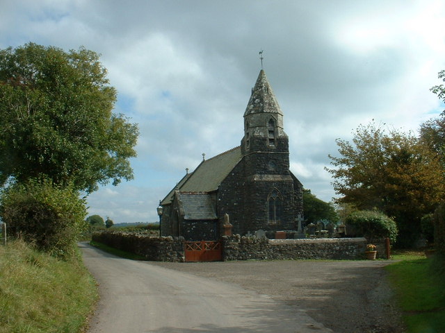
Images are sourced within 2km of 51.823/-4.358 or Grid Reference SN3716. Thanks to Geograph Open Source API. All images are credited.


Myrddin's Quoit is located at Grid Ref: SN3716 (Lat: 51.823, Lng: -4.358)
Unitary Authority: Carmarthenshire
Police Authority: Dyfed Powys
What 3 Words
///desktops.forms.leader. Near Llangain, Carmarthenshire
Nearby Locations
Related Wikis

Dan-Lan-Y-Castell Quarry
Dan-Lan-Y-Castell Quarry is a Site of Special Scientific Interest in Carmarthen & Dinefwr, Wales. == References == == See also == List of Sites of Special...
Llangain
Llangain is a village and community in Carmarthenshire, in the south-west of Wales. Located to the west of the River Towy, and south of the town of Carmarthen...
Castell Moel
Castell Moel (also known as Greencastle, Green Castle, Humphreys Castle, or Castle Mole) is the remains of a 16th-century fortified manor house in the...

Beacon Bog
Beacon Bog is a Site of Special Scientific Interest in the community of Llangynog in Carmarthenshire, Wales. == Description == Beacon Bog is a small lowland...

Cors Goch National Nature Reserve (Llanllwch)
Cors Goch National Nature Reserve, a couple of miles west of Carmarthen and near the hamlet of Llanllwch, is one of the few raised bogs in West Wales....

St Mary's Church, Llanllwch
St Mary's Church is an Anglican parish church in the hamlet of Llanllwch, Carmarthenshire, Wales. It was originally a chapel attached to St Peter's Church...
Llanllwch
Llanllwch is a hamlet in Carmarthenshire, Wales approximately 2 miles (3.2 km) west of Carmarthen. == History == The name Llanllwch derives from a lake...
Maesyprior
Maesyprior is a Site of Special Scientific Interest in Carmarthen & Dinefwr, Wales. A system of glacial meltwater channels preserved at this site contains...
Have you been to Myrddin's Quoit?
Leave your review of Myrddin's Quoit below (or comments, questions and feedback).