Myot Hill
Hill, Mountain in Stirlingshire
Scotland
Myot Hill
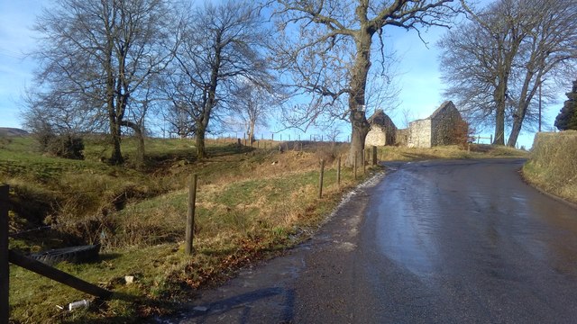
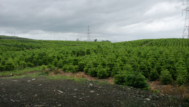
Myot Hill is a prominent hill located in Stirlingshire, Scotland. Situated in the central part of the country, it is part of the wider Campsie Fells range. The hill is approximately 1,350 feet (410 meters) high, making it a significant landmark in the area.
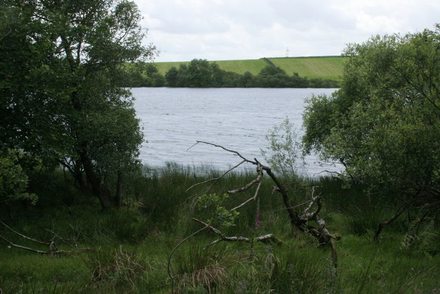
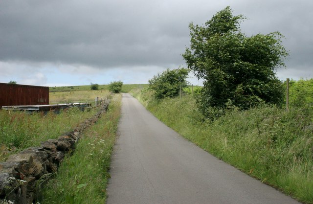
Myot Hill offers breathtaking panoramic views of the surrounding landscape, including the nearby towns of Kilsyth and Cumbernauld. It is a popular destination for hikers and nature enthusiasts, who are drawn to its natural beauty and tranquility. The hill's slopes are covered in heather, grass, and a variety of wildflowers, providing a colorful and picturesque setting.
The hill is also home to a diverse range of wildlife, including deer, foxes, and various bird species. This makes it an ideal spot for bird watching and wildlife photography. Additionally, Myot Hill is a designated Site of Special Scientific Interest (SSSI) due to its geological and ecological importance.
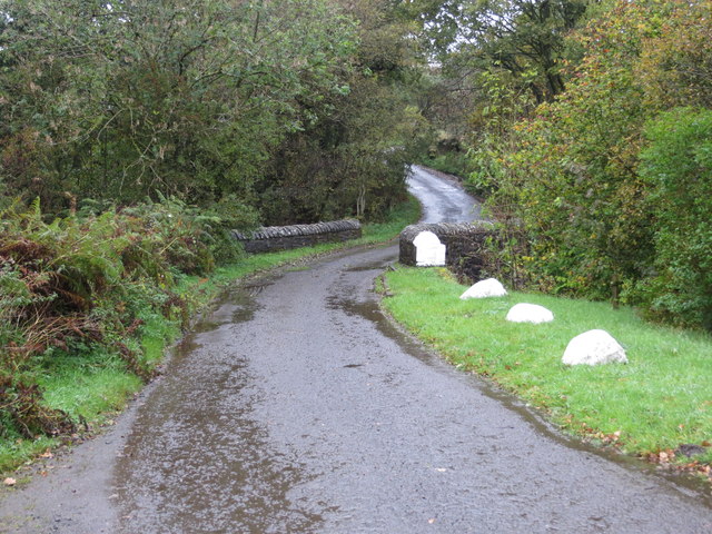
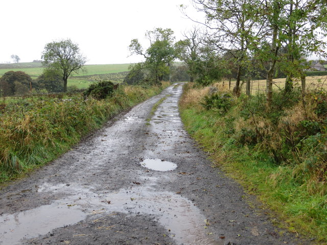
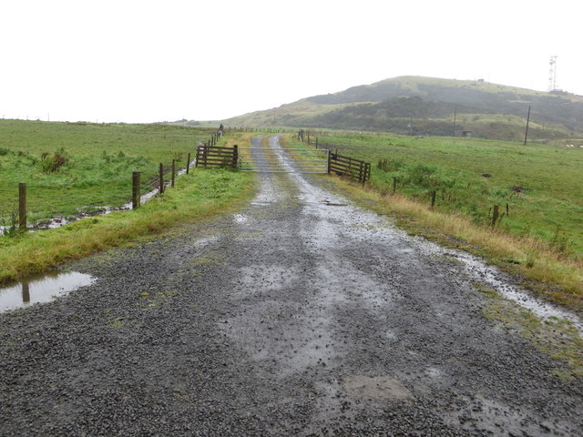
Hiking trails are available for those who wish to explore the area. The most popular route to the summit starts from the nearby village of Milton of Campsie and offers a moderate to challenging hike, depending on the chosen path. Along the way, hikers can enjoy stunning views, rock formations, and the tranquility of the surrounding countryside.
Overall, Myot Hill is a captivating and picturesque hill in Stirlingshire, Scotland. Its natural beauty, wildlife, and hiking opportunities make it a must-visit destination for outdoor enthusiasts and nature lovers alike.
If you have any feedback on the listing, please let us know in the comments section below.
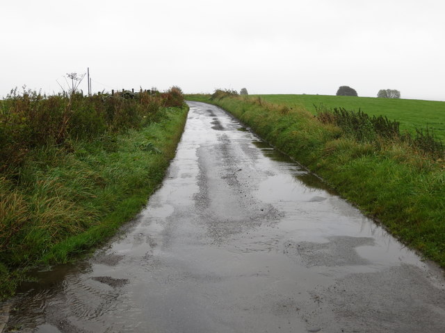
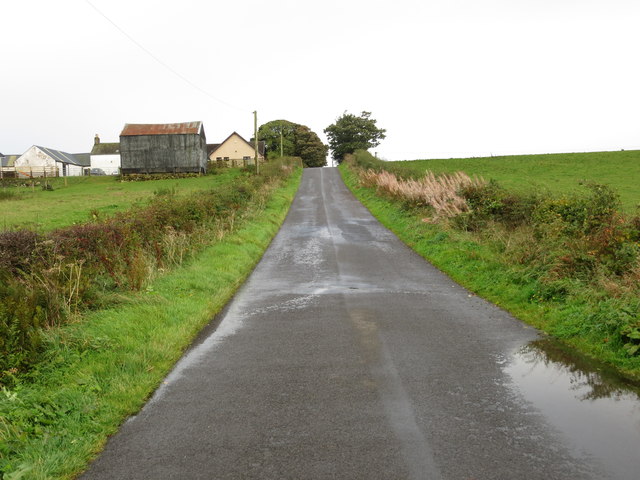
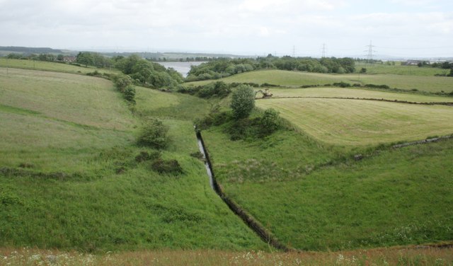
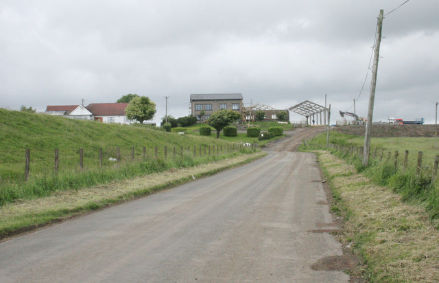
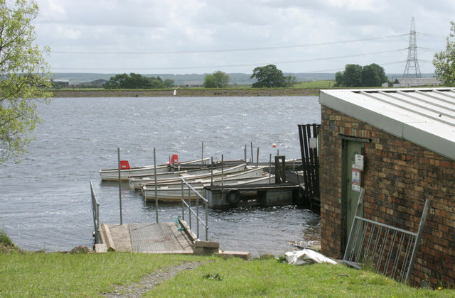
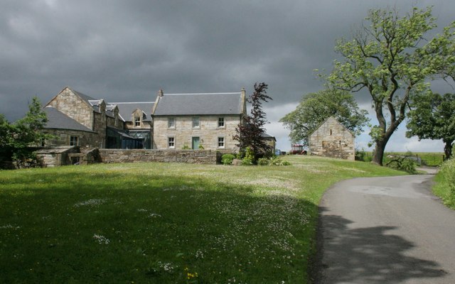
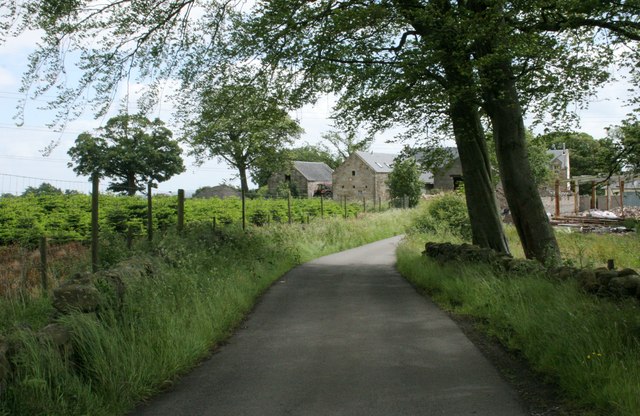
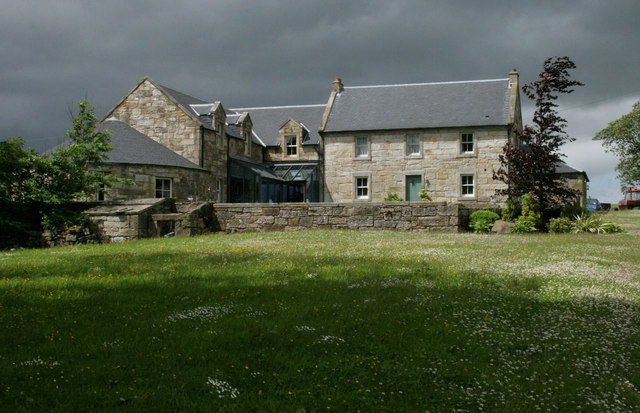
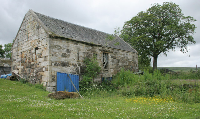
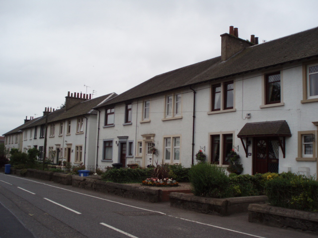
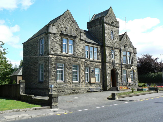
Myot Hill Images
Images are sourced within 2km of 56.019915/-3.9576212 or Grid Reference NS7882. Thanks to Geograph Open Source API. All images are credited.
Myot Hill is located at Grid Ref: NS7882 (Lat: 56.019915, Lng: -3.9576212)
Unitary Authority: Falkirk
Police Authority: Forth Valley
What 3 Words
///vitamins.dreaming.throwaway. Near Dunipace, Falkirk
Related Wikis

Fankerton
Fankerton is a small village which lies within the Falkirk council area of Scotland. The village is 1 mile (1.6 km) west of Denny and 6.3 miles (10.1 km...

Strathcarron Hospice
Strathcarron Hospice is a free palliative care resource in Denny, Scotland, serving people in the Forth Valley and North Lanarkshire areas. It was established...
Stoneywood, Falkirk
Stoneywood is a small village which lies in the Falkirk council area of Scotland. The village is located 0.1 miles (0.2 km) west of Denny and 7.3 miles...

Braeface
Braeface is a village in Falkirk, Scotland. == External links == Canmore - Braeface site record
Herbertshire Castle
Herbertshire Castle was a castle built in the Barony of Herbertshire in the early fifteenth century, located near Dunipace, Falkirk, central Scotland....

Dunipace
Dunipace (Scottish Gaelic: Dùn a' Bhàis) is a village in the west of the Falkirk council area of Scotland. The village is 6.3 miles (10.1 km) south of...

Denny railway station
Denny railway station served the town of Denny, Falkirk, Scotland from 1858 to 1930 on the Scottish Central Railway. == History == The station opened on...
Denny, Falkirk
Denny (Scottish Gaelic: an Daingneach) is a town in the Falkirk council area of Scotland. Historically in Stirlingshire, it is situated 7 miles (11 kilometres...
Nearby Amenities
Located within 500m of 56.019915,-3.9576212Have you been to Myot Hill?
Leave your review of Myot Hill below (or comments, questions and feedback).