Modbury Village

Heritage Site in Dorset

England

Modbury Village

View from near Old Coastguard House The B3157 from Bridport passes over the coastal hills on its way to Abbotsbury and Weymouth. The village of Swyre lies in the valley just ahead, beyond which the road climbs Limekiln Hill. On the right can be seen the beach which is the northern extension of Chesil Beach and in the distance is Portland.
View from near Old Coastguard House Credit: Ron Strutt

Modbury Village, located in the county of Dorset, England, is a charming and picturesque heritage site that encapsulates the essence of rural English life. Nestled in the heart of the beautiful Dorset countryside, this small village is known for its historical significance and well-preserved architectural treasures.

Dating back to the medieval period, Modbury Village boasts a rich history that is evident in its ancient buildings and landmarks. The village church, St. George's Church, is a prominent feature, with its distinctive tower and intricate stained glass windows. Visitors can explore the church's interior, which showcases fascinating artifacts and memorials from bygone eras.

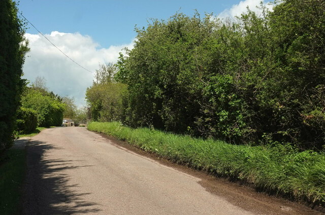
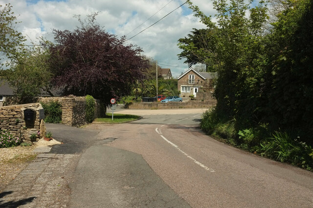
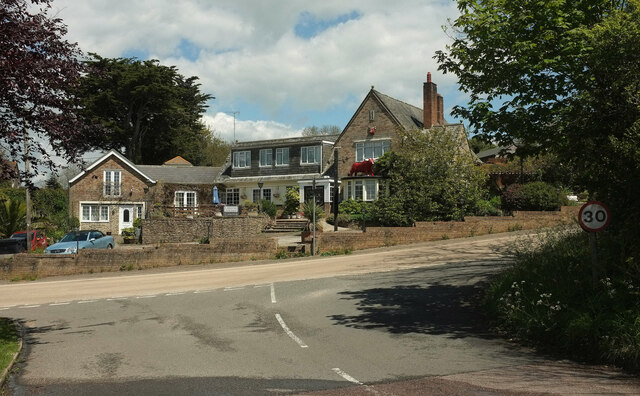
Walking through the village, one cannot help but be enchanted by the quaint thatched-roof cottages and charming cobblestone streets. Modbury Village's unique character has been meticulously preserved, with many of its buildings designated as heritage sites. The village's architecture seamlessly blends styles from different periods, creating a visually captivating experience for visitors.

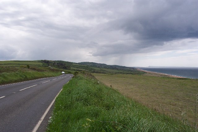
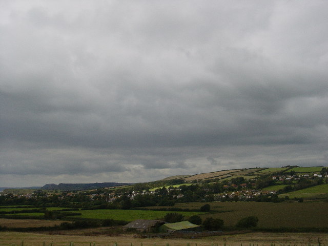
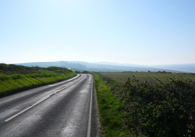
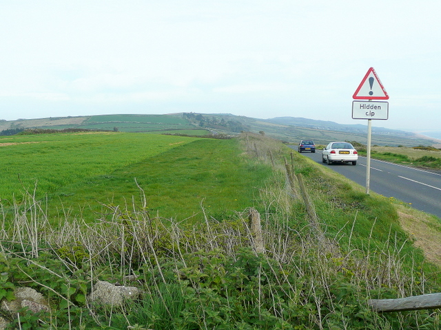
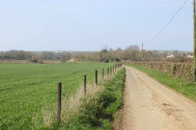
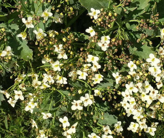
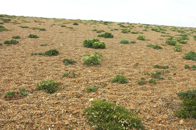
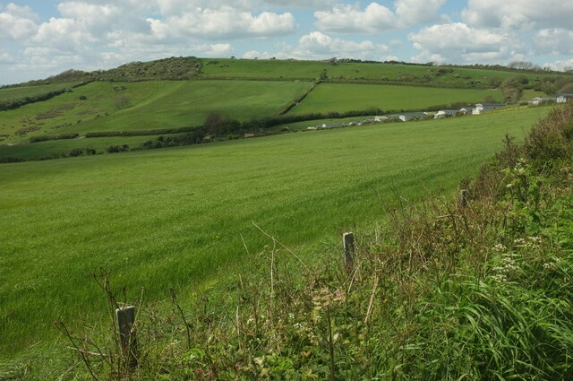
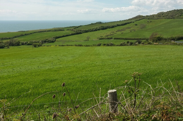
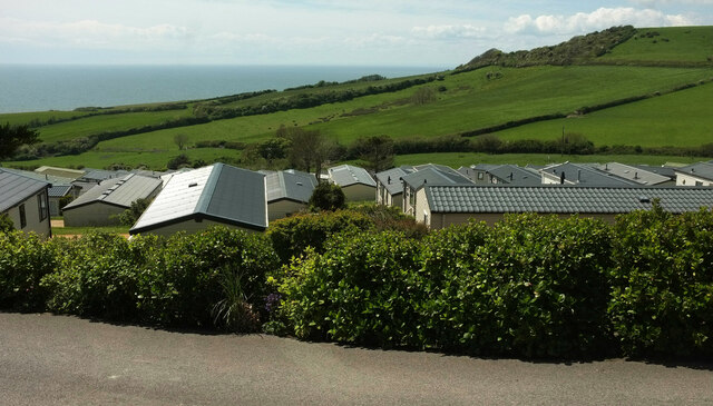
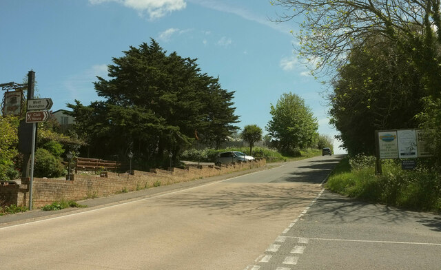
Aside from its architectural beauty, Modbury Village is surrounded by stunning natural landscapes. The rolling hills and lush green fields provide a breathtaking backdrop, perfect for leisurely strolls or picnics. The village is also home to several well-maintained gardens, showcasing a variety of plants and flowers that flourish in the area.

Modbury Village offers a peaceful retreat from the hustle and bustle of modern life. Visitors can immerse themselves in the village's timeless charm, exploring its historical sites, enjoying traditional English hospitality in local pubs, or simply taking in the beauty of the countryside. With its rich heritage and natural splendor, Modbury Village is a must-visit destination for history enthusiasts and nature lovers alike.

If you have any feedback on the listing, please let us know in the comments section below.

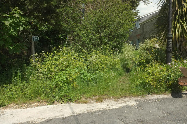
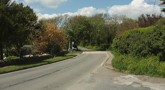
Modbury Village Images

Images are sourced within 2km of 50.703/-2.687 or Grid Reference SY5189. Thanks to Geograph Open Source API. All images are credited.

View from near Old Coastguard House The B3157 from Bridport passes over the coastal hills on its way to Abbotsbury and Weymouth. The village of Swyre lies in the valley just ahead, beyond which the road climbs Limekiln Hill. On the right can be seen the beach which is the northern extension of Chesil Beach and in the distance is Portland.
View from near Old Coastguard House
The B3157 from Bridport passes over the coastal hills on its way to Abbotsbury and Weymouth. The village of Swyre lies in the valley just ahead, beyond which the road climbs Limekiln Hill. On the right can be seen the beach which is the northern extension of Chesil Beach and in the distance is Portland.
Burton Bradstock looking W with Golden Cap in distance
View towards Othona Looking East along the B3157 from a few metres west of the entrance drive to The Old Coastguard House on a sunny but very hazy morning. Othona can be made out as the dark trees in the middle distance with Green Hill to its left and Chesil Beach to the right. Othona is a 7-acre Christian community of about 8 people with up to 35 other people there on holiday on the beautiful Jurassic Coast. Sounds like heaven!
View towards Othona
Looking East along the B3157 from a few metres west of the entrance drive to The Old Coastguard House on a sunny but very hazy morning. Othona can be made out as the dark trees in the middle distance with Green Hill to its left and Chesil Beach to the right. Othona is a 7-acre Christian community of about 8 people with up to 35 other people there on holiday on the beautiful Jurassic Coast. Sounds like heaven!
The spectacular B3157 The coast road from Bridport to Weymouth, looking east.
The spectacular B3157
The coast road from Bridport to Weymouth, looking east.
Annings Lane Looking towards Burton Bradstock.
Annings Lane
Looking towards Burton Bradstock.
Sea kale, Cogden Beach A closer view of <a href="https://www.geograph.org.uk/photo/6851695">SY5088 : Sea kale, Cogden Beach</a>, Crambe maritima.
Sea kale, Cogden Beach
A closer view of SY5088 : Sea kale, Cogden Beach, Crambe maritima.
Beach beside Burton Mere Around here, Chesil Beach (behind camera) becomes Cogden Beach.
Beach beside Burton Mere
Around here, Chesil Beach (behind camera) becomes Cogden Beach.
Bittersweet, Chesil Beach Woody nightshade (Solanum dulcamara) at the top edge of the beach near the eastern pat of Burton Mere.
Bittersweet, Chesil Beach
Woody nightshade (Solanum dulcamara) at the top edge of the beach near the eastern pat of Burton Mere.
Sea kale, Chesil Beach Scattered Crambe maritima plants on the landward slope of the pebble ridge.
Sea kale, Chesil Beach
Scattered Crambe maritima plants on the landward slope of the pebble ridge.
Farmland below Swyre Looking right from <a href="https://www.geograph.org.uk/photo/7061884">SY5287 : Farmland below Swyre</a>, with overlap. Gorselands Caravan Park is on the right.
Farmland below Swyre
Looking right from SY5287 : Farmland below Swyre, with overlap. Gorselands Caravan Park is on the right.
Farmland below Swyre Another view across the valley shown in <a href="https://www.geograph.org.uk/photo/7061884">SY5287 : Farmland below Swyre</a> from a little further up Swyre Road.
Farmland below Swyre
Another view across the valley shown in SY5287 : Farmland below Swyre from a little further up Swyre Road.
Gorselands Caravan Park See also <a href="https://www.geograph.org.uk/photo/6853483">SY5287 : Gorselands Caravan Park</a>.
Gorselands Caravan Park
Swyre Road The road from West Bexington approaches the B3157.
Swyre Road
The road from West Bexington approaches the B3157.
Swyre Road meets the B3157 Passing a couple of properties on the left; most of the villages is across the B road. The building visible is part of the Bull Inn.
Swyre Road meets the B3157
Passing a couple of properties on the left; most of the villages is across the B road. The building visible is part of the Bull Inn.
Bull Inn, Swyre Seen across the B3157 from the road from West Bexington.
Bull Inn, Swyre
Seen across the B3157 from the road from West Bexington.
B3157 at Swyre At the junction shown in <a href="https://www.geograph.org.uk/photo/7062389">SY5288 : Bull Inn, Swyre</a>, looking right.
B3157 at Swyre
At the junction shown in SY5288 : Bull Inn, Swyre, looking right.
Bull Lane, Swyre Beginning beside the Bull Inn, this is the start of bridleway W14 33, which carries the parish boundary between Swyre (left) and Puncknowle.
Bull Lane, Swyre
Beginning beside the Bull Inn, this is the start of bridleway W14 33, which carries the parish boundary between Swyre (left) and Puncknowle.
B3157 at Swyre Looking left from <a href="https://www.geograph.org.uk/photo/7062580">SY5288 : Bull Lane, Swyre</a>. On the left by the bus stop is the listed war memorial shown in several of the images at <a title="https://www.geograph.org.uk/gridref/SY5288?centi=SY527881" href="https://www.geograph.org.uk/gridref/SY5288?centi=SY527881">Link</a> .
B3157 at Swyre
Looking left from SY5288 : Bull Lane, Swyre. On the left by the bus stop is the listed war memorial shown in several of the images at Link .
Show me another place!

Modbury Village is located at Grid Ref: SY5189 (Lat: 50.703, Lng: -2.687)

Unitary Authority: Dorset

Police Authority: Dorset

What 3 Words

///townhouse.erupted.sweat. Near Bridport, Dorset

Related Wikis

Swyre

Swyre ( ) is a small village and civil parish in southwest Dorset, England, situated in a valley beside Chesil Beach 6 miles (9.7 km) southeast of Bridport...

Holy Trinity Church, Swyre

Holy Trinity Church is a Church of England church in Swyre, Dorset, England. The oldest part of the church has been dated to the early 15th century, with...

Chilcombe

Chilcombe is a hamlet and civil parish in Dorset, England, situated in the Dorset unitary authority administrative area about 4 miles (6.4 km) east of...

Puncknowle

Puncknowle ( PUN-əl) is a village and civil parish in the county of Dorset in southwest England, situated on the southern slopes of the Bride Valley approximately...

Nearby Amenities

Located within 500m of 50.703,-2.687
Modbury farm shop
Shop: convenience
Lat/Long: 50.7053487/-2.6837232
The data included in this document is from www.openstreetmap.org. The data is made available under ODbL.

Have you been to Modbury Village?

Leave your review of Modbury Village below (or comments, questions and feedback).