Bredy Coppice
Wood, Forest in Dorset
England
Bredy Coppice
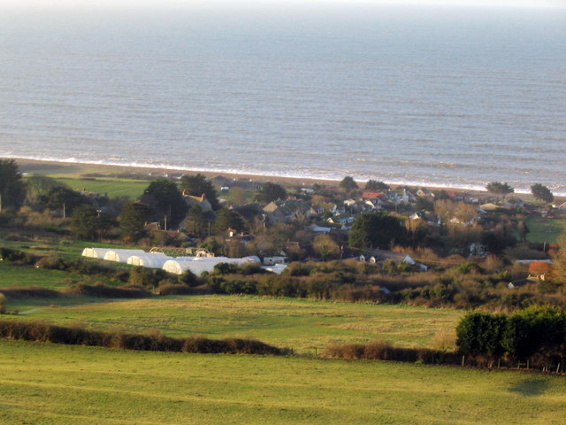
Bredy Coppice is a woodland area located in Dorset, England. It is situated near the village of Puncknowle, approximately 6 miles west of Bridport. The coppice is part of the larger Bredy Forest, which covers an area of around 150 hectares.
Bredy Coppice is predominantly composed of deciduous trees, including oak, ash, beech, and hazel. The woodland is characterized by its dense canopy, which provides a cool and shady environment during the summer months. The forest floor is covered in a rich carpet of mosses, ferns, and wildflowers, creating a vibrant and diverse ecosystem.
The coppice has a long history, dating back several centuries. It was traditionally managed for timber production, with the practice of coppicing being employed. Coppicing involves cutting trees at ground level, allowing new shoots to grow and be harvested on a regular cycle. This sustainable management technique provides a constant supply of timber for various uses, such as fuel, construction, and crafts.
The woodland is home to a variety of wildlife, including deer, badgers, foxes, and a wide range of bird species. The dense vegetation and diverse habitats make it an important area for biodiversity, supporting a multitude of plant and animal life.
Bredy Coppice is a popular destination for nature enthusiasts, walkers, and photographers. The tranquillity of the woodland, combined with its natural beauty, attracts visitors throughout the year. There are several walking trails and footpaths that wind through the coppice, allowing visitors to explore and appreciate the natural surroundings.
Overall, Bredy Coppice is a picturesque and ecologically significant woodland area in Dorset, offering a peaceful retreat and a chance to connect with nature.
If you have any feedback on the listing, please let us know in the comments section below.
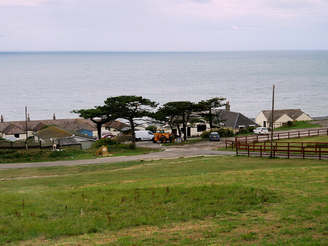
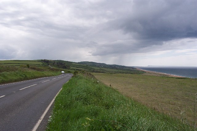
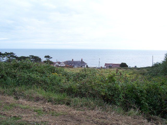
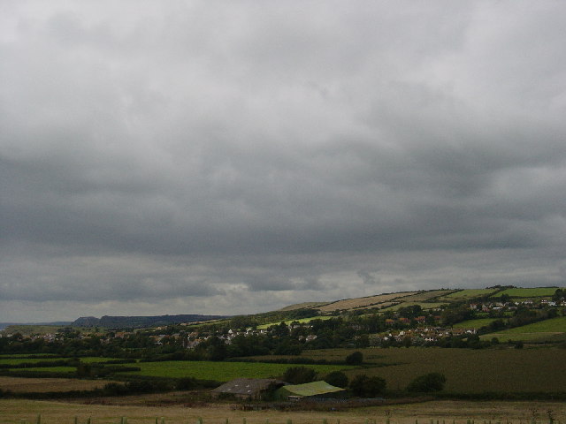
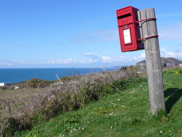
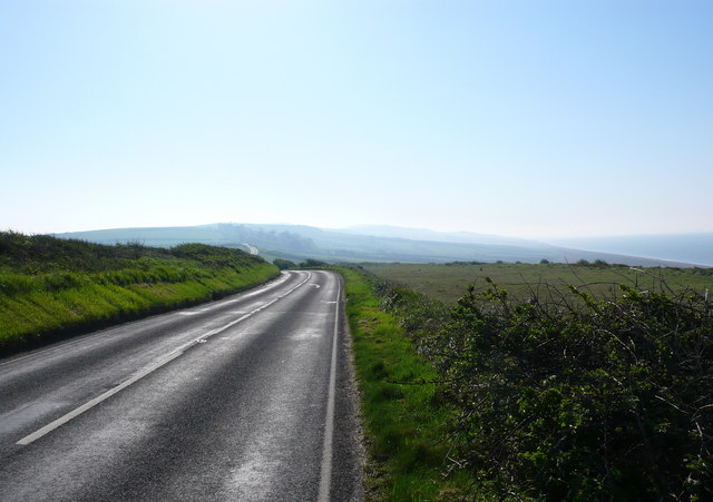
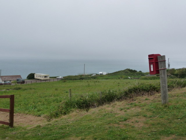
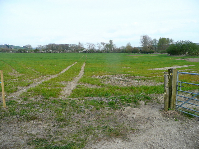
Bredy Coppice Images
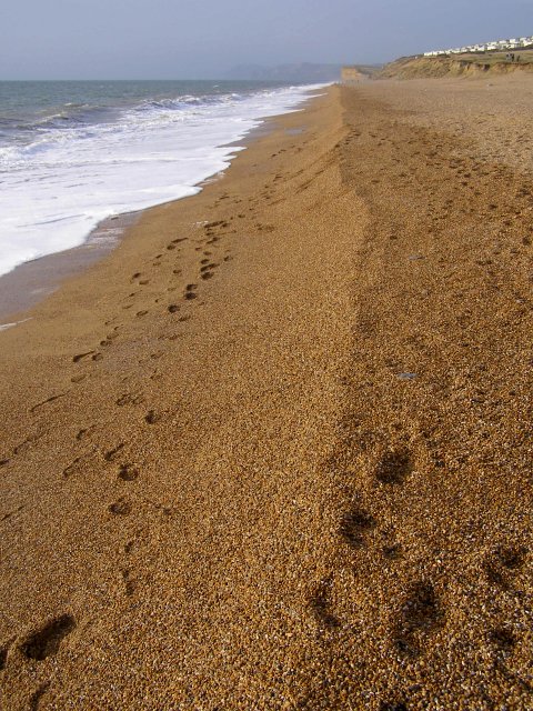
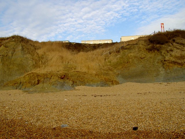
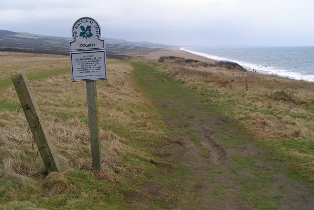
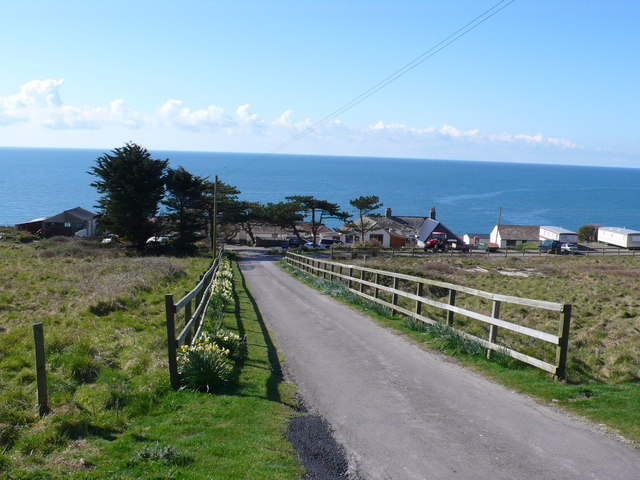
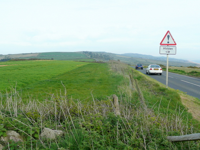
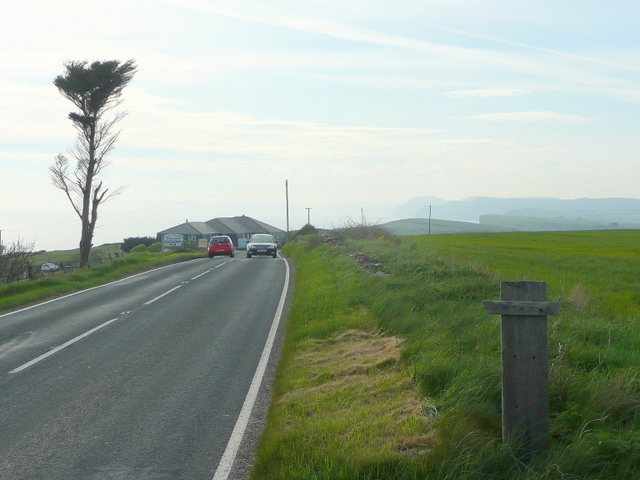
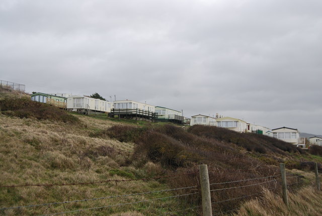
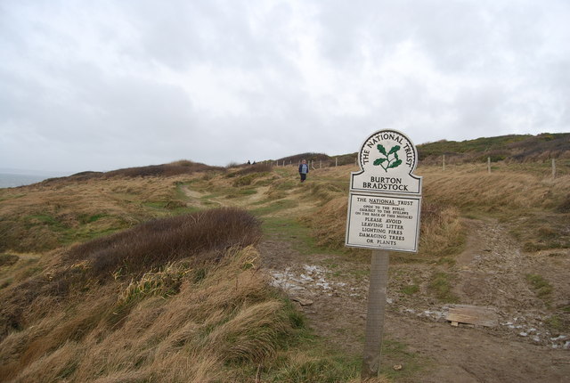
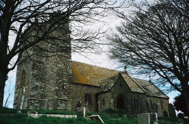
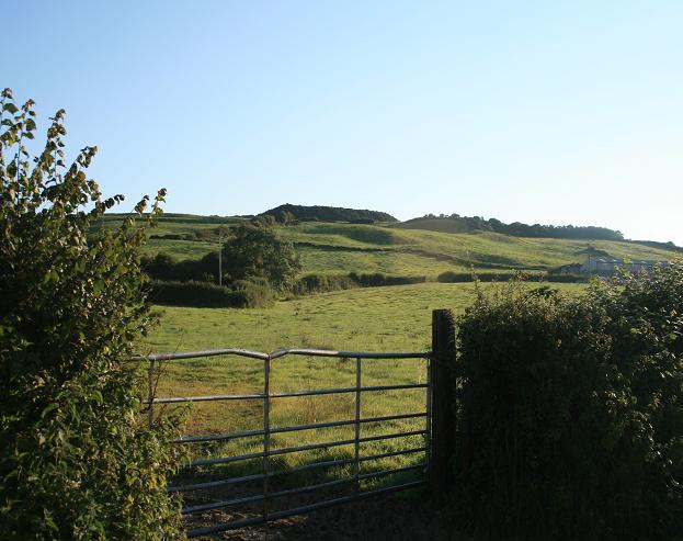
Images are sourced within 2km of 50.700318/-2.6897149 or Grid Reference SY5189. Thanks to Geograph Open Source API. All images are credited.
Bredy Coppice is located at Grid Ref: SY5189 (Lat: 50.700318, Lng: -2.6897149)
Unitary Authority: Dorset
Police Authority: Dorset
What 3 Words
///handover.headers.thudding. Near Bridport, Dorset
Nearby Locations
Related Wikis

Swyre
Swyre ( ) is a small village and civil parish in southwest Dorset, England, situated in a valley beside Chesil Beach 6 miles (9.7 km) southeast of Bridport...

Holy Trinity Church, Swyre
Holy Trinity Church is a Church of England church in Swyre, Dorset, England. The oldest part of the church has been dated to the early 15th century, with...

Puncknowle
Puncknowle ( PUN-əl) is a village and civil parish in the county of Dorset in southwest England, situated on the southern slopes of the Bride Valley approximately...

Chilcombe
Chilcombe is a hamlet and civil parish in Dorset, England, situated in the Dorset unitary authority administrative area about 4 miles (6.4 km) east of...

Burton Bradstock
Burton Bradstock is a village and civil parish in Dorset, England, approximately 2+1⁄2 miles (4 km) southeast of Bridport and 1⁄2 mile (0.8 km) inland...
Shipton Gorge
Shipton Gorge is a village and civil parish in southwest Dorset, England, 3 miles (4.8 km) east of Bridport. Dorset County Council's 2013 mid-year estimate...
Shipton Hill Settlement
The Shipton Hill Settlement is an archaeological site, a defended settlement of the Iron Age, near Shipton Gorge in Dorset, England. It is a scheduled...
West Bexington
West Bexington is a village in south-west Dorset, England, sited just behind the Chesil Beach about 6 miles (10 km) southeast of Bridport. It forms part...
Have you been to Bredy Coppice?
Leave your review of Bredy Coppice below (or comments, questions and feedback).