Longtree Barn

Heritage Site in Gloucestershire Stroud

England

Longtree Barn

Avening Memorial Hall Avening Memorial Hall is on the side of the B4014 which passes through the village.
Avening Memorial Hall Credit: Philip Halling

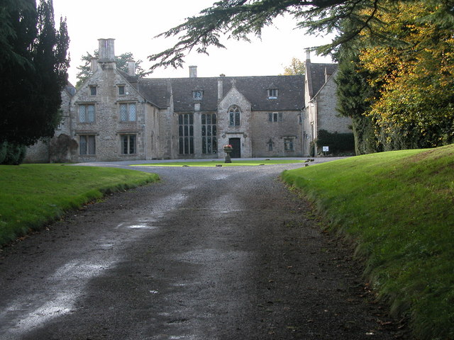
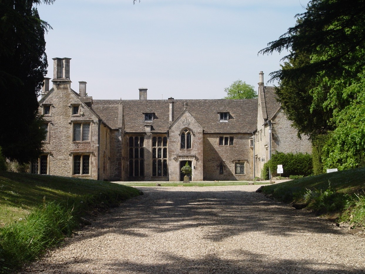
Longtree Barn, located in Gloucestershire, is a renowned heritage site that holds immense historical and architectural significance. Dating back to the 16th century, this magnificent barn stands as a testament to the rural agricultural heritage of the region.

The barn itself is a stunning example of traditional timber-framed construction, with its sturdy beams and thatched roof providing a glimpse into the craftsmanship of the past. It is believed to have been originally built to store hay and livestock, reflecting the importance of agriculture in the area during that era.

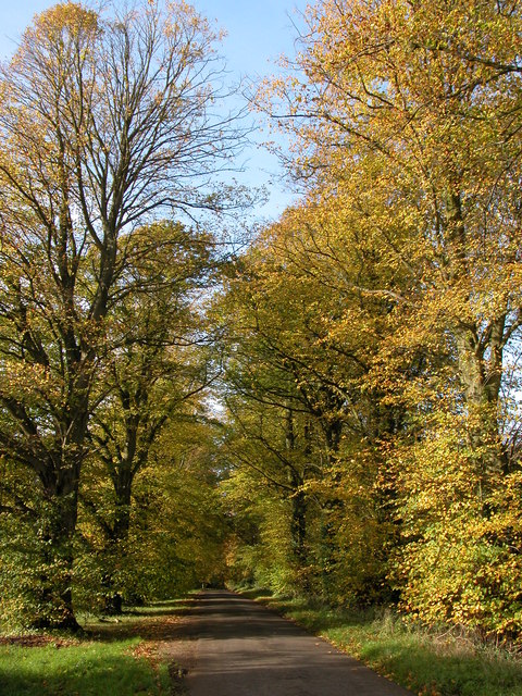
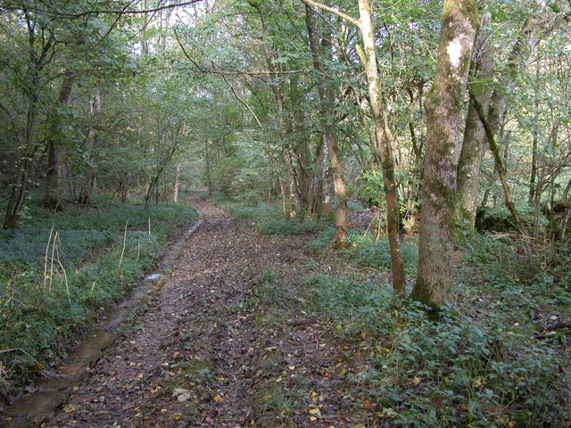
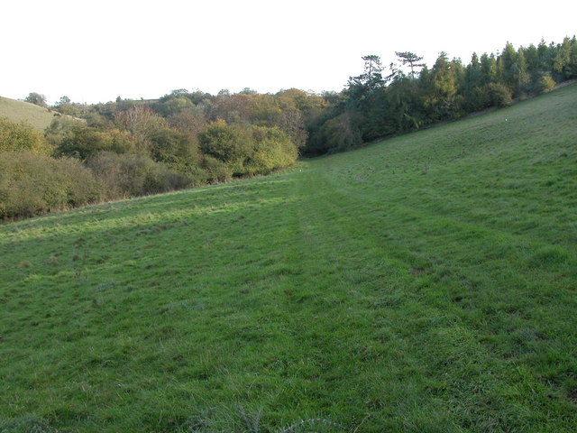
Longtree Barn is situated within a picturesque rural landscape, surrounded by rolling hills and verdant meadows. Its tranquil setting adds to its charm and allure, attracting visitors from far and wide who are eager to explore its historical treasures.

Visitors to Longtree Barn can immerse themselves in the rich history of the site through informative displays and exhibitions. These showcase the evolution of farming practices and rural life, offering a fascinating insight into the hardships and triumphs experienced by those who toiled the land centuries ago.

Additionally, the barn hosts various events throughout the year, including traditional craft workshops, agricultural fairs, and historical reenactments, which further enhance the visitor experience and bring the past to life.

Longtree Barn is a valuable heritage site that not only preserves and celebrates the region's agricultural history but also provides an educational and engaging experience for all who visit. It stands as a testament to the enduring legacy of Gloucestershire's rural heritage and is a must-visit destination for history enthusiasts and nature lovers alike.

If you have any feedback on the listing, please let us know in the comments section below.

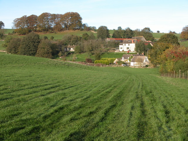
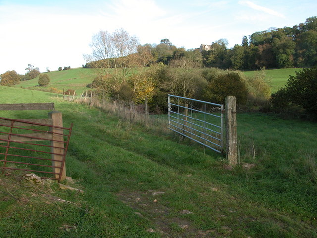
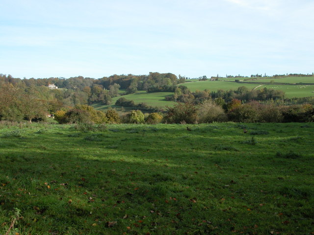
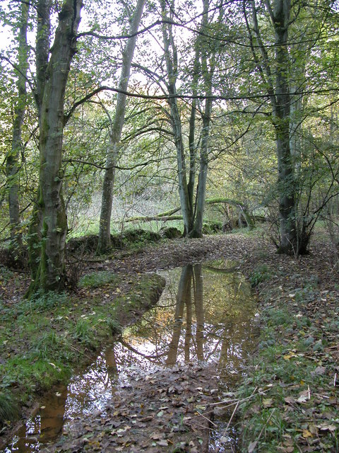
Longtree Barn Images

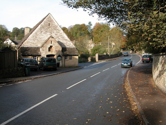
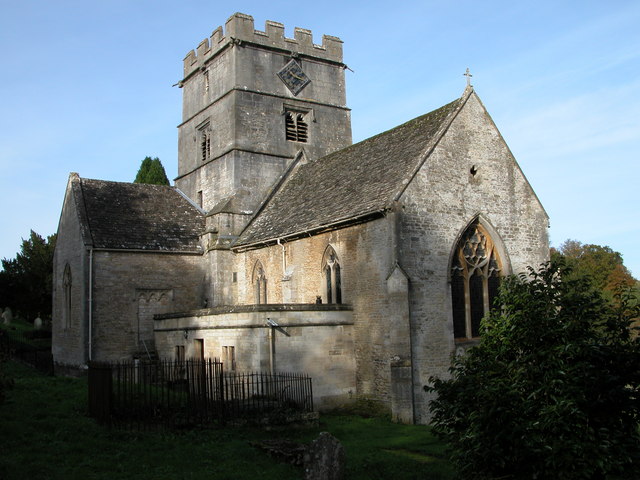
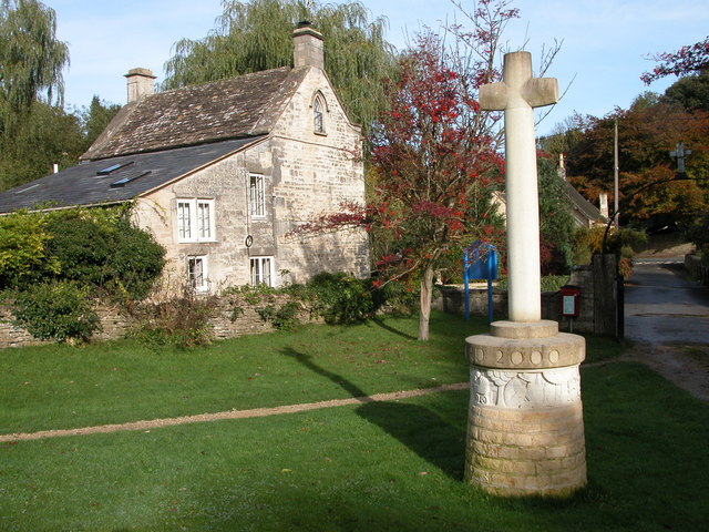
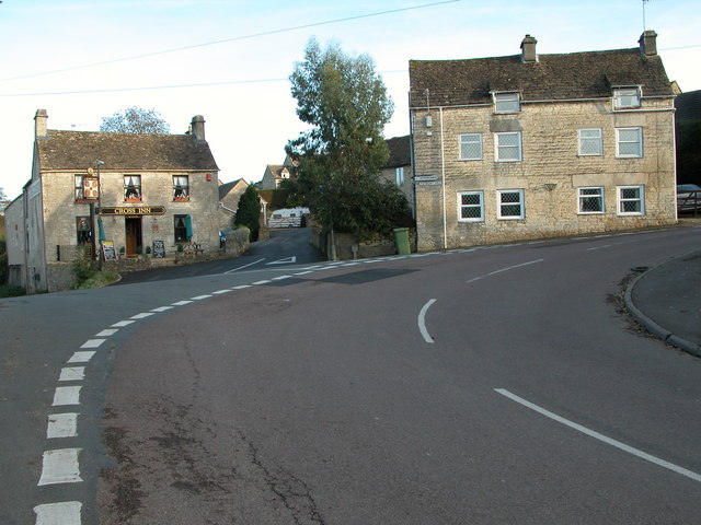
Images are sourced within 2km of 51.667/-2.18 or Grid Reference ST8796. Thanks to Geograph Open Source API. All images are credited.

Avening Memorial Hall Avening Memorial Hall is on the side of the B4014 which passes through the village.
Avening Memorial Hall
Avening Memorial Hall is on the side of the B4014 which passes through the village.
Holy Cross Church, Avening This church is located on the edge of two grid squares.
Holy Cross Church, Avening
This church is located on the edge of two grid squares.
Cross in Avening churchyard The cross is near the entrance to Avening churchyard and commemorates the millennium.
Cross in Avening churchyard
The cross is near the entrance to Avening churchyard and commemorates the millennium.
Avening The Cross Inn is located on the sharp bend in the middle of the village.
Avening
The Cross Inn is located on the sharp bend in the middle of the village.
Chavenage House Chavenage House is a privately owned Cotswold manor house which is open to the public through the summer months. See: <span class="nowrap"><a title="http://www.hha.org.uk/Property/373/Chavenage-House#opening" rel="nofollow ugc noopener" href="http://www.hha.org.uk/Property/373/Chavenage-House#opening">Link</a><img style="margin-left:2px;" alt="External link" title="External link - shift click to open in new window" src="https://s1.geograph.org.uk/img/external.png" width="10" height="10"/></span>

The house has been used for a number of film and TV productions including the 2015 BBC remake of 'Poldark' when it was the setting for Trenwith.  It was also featured in Nick Crane's 'Great British Journeys'.  Additional text added March 2015.
Chavenage House
Chavenage House is a privately owned Cotswold manor house which is open to the public through the summer months. See: LinkExternal link The house has been used for a number of film and TV productions including the 2015 BBC remake of 'Poldark' when it was the setting for Trenwith. It was also featured in Nick Crane's 'Great British Journeys'. Additional text added March 2015.
Autumn colours at Chavenage Green Avenue of trees (Lime I think) on the road through Chavenage Green.
Autumn colours at Chavenage Green
Avenue of trees (Lime I think) on the road through Chavenage Green.
Longtree Bottom Track through the wooded valley of Longtree Bottom.
Longtree Bottom
Track through the wooded valley of Longtree Bottom.
Ledgemore Bottom A footpath crossing a field in a Cotswold valley near Ledgemore Pond.
Ledgemore Bottom
A footpath crossing a field in a Cotswold valley near Ledgemore Pond.
Vale Farm, Avening Afternoon autumn sun lights Vale Farm which is located in a valley to the west of the village of Avening.
Vale Farm, Avening
Afternoon autumn sun lights Vale Farm which is located in a valley to the west of the village of Avening.
Larch Covert viewed from Ledgemore Bottom Larch Covert can be seen beyond the field on the opposite side of the valley. Viewed here from the footpath passing along Ledgemore Bottom.
Larch Covert viewed from Ledgemore Bottom
Larch Covert can be seen beyond the field on the opposite side of the valley. Viewed here from the footpath passing along Ledgemore Bottom.
Gatcombe Park Gatcombe Park viewed from a bridleway to the north-west of the village of Avening.
Gatcombe Park
Gatcombe Park viewed from a bridleway to the north-west of the village of Avening.
Longtree Bottom After rain this wooded valley can be very wet.
Longtree Bottom
After rain this wooded valley can be very wet.
Memorial to William Fowles, Avening The memorial is situated on a sharp bend in the centre of the village.

The memorial reads as follows:
WILLIAM FOWLES
1835-1896
This to his memory
by
those amongst whom he lived
and
who knew his worth
Memorial to William Fowles, Avening
The memorial is situated on a sharp bend in the centre of the village. The memorial reads as follows: WILLIAM FOWLES 1835-1896 This to his memory by those amongst whom he lived and who knew his worth
Tetbury Upton Tetbury Upton looking along the B4014 towards Tetbury.
Tetbury Upton
Tetbury Upton looking along the B4014 towards Tetbury.
Tetbury Upton Tetbury Upton looking towards Avening on the B4014
Tetbury Upton
Tetbury Upton looking towards Avening on the B4014
Sheep pasture South of Chavenage House.
Sheep pasture
South of Chavenage House.
The lane to Star Farm This dip floods badly after heavy rain.
The lane to Star Farm
This dip floods badly after heavy rain.
Village stream Avening stream close to bursting its banks as it travels through Sandford Leaze, down towards the church.
Village stream
Avening stream close to bursting its banks as it travels through Sandford Leaze, down towards the church.
Show me another place!

Longtree Barn is located at Grid Ref: ST8796 (Lat: 51.667, Lng: -2.18)

Administrative County: Gloucestershire

District: Stroud

Police Authority: Gloucestershire

What 3 Words

///packing.meaty.apart. Near Avening, Gloucestershire

Related Wikis

Chavenage House

Chavenage House, Beverston, Gloucestershire is a country house dating from the late 16th century. The house was built in 1576 and is constructed of Cotswold...

Church of the Holy Cross, Avening

The Anglican Church of the Holy Cross at Avening in the Cotswold District of Gloucestershire, England was built in late 11th century. It is a grade I listed...
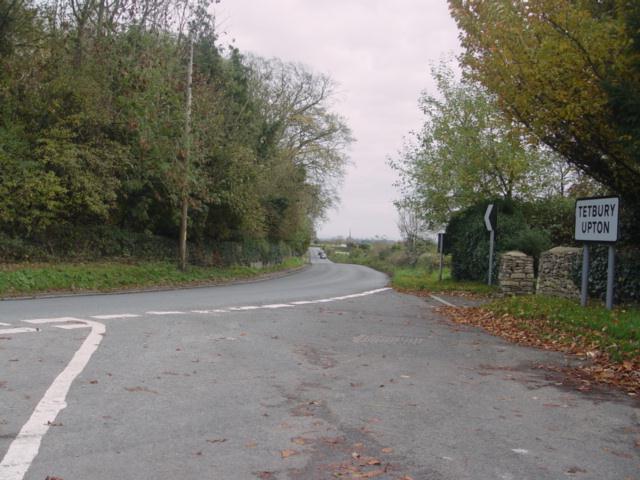
Tetbury Upton

Tetbury Upton is a small village and civil parish in the Cotswolds area of Gloucestershire, England. The parish extends in an arc around the north, west...

Avening Valley

The Avening Valley is located in the South Cotswolds in England, running roughly east from Nailsworth and through the village of Avening.During the 17th...

Nearby Amenities

Located within 500m of 51.667,-2.18
Bus Stop
Chavenage Green Turn
Bus: yes
Naptan AtcoCode: 1600GLS639
Naptan Bearing: SE
Naptan CommonName: Chavenage Green Turn
Naptan Indicator: Opp
Naptan NaptanCode: glodjpjt
Naptan Street: B4014
Naptan Verified: yes
Public Transport: platform
Shelter: no
Source: naptan_import
Lat/Long: 51.6632007/-2.1785762
Bus Stop
Chavenage Green Turn
Bus: yes
Naptan AtcoCode: 1600GLS640
Naptan Bearing: NW
Naptan CommonName: Chavenage Green Turn
Naptan NaptanCode: glodjpma
Naptan Street: B4014
Naptan Verified: no
Public Transport: platform
Source: naptan_import
Lat/Long: 51.662696/-2.1784563
Power: pole
Lat/Long: 51.6643439/-2.1839243
Power: pole
Lat/Long: 51.6647798/-2.1822131
Power: pole
Lat/Long: 51.6640844/-2.1854371
Power: pole
Lat/Long: 51.6644737/-2.1839619
Power: pole
Lat/Long: 51.6648497/-2.18261
Power: pole
Lat/Long: 51.6652323/-2.181108
Power: pole
Lat/Long: 51.665595/-2.1797562
Power: pole
Lat/Long: 51.6652556/-2.1804696
Power: pole
Lat/Long: 51.6661374/-2.1772027
Power: pole
Lat/Long: 51.6665799/-2.1755451
Power: pole
Lat/Long: 51.6668627/-2.1744829
Power: pole
Lat/Long: 51.6671888/-2.1733135
Power: pole
Lat/Long: 51.6662405/-2.1773583
Power: pole
Lat/Long: 51.6666863/-2.1757007
Power: pole
Lat/Long: 51.6669658/-2.174601
Power: pole
Lat/Long: 51.6673185/-2.1733993
The data included in this document is from www.openstreetmap.org. The data is made available under ODbL.

Have you been to Longtree Barn?

Leave your review of Longtree Barn below (or comments, questions and feedback).