Longwitton Village

Heritage Site in Northumberland

England

Longwitton Village

Avenue of Trees next to a Road in Northumberland
Avenue of Trees next to a Road in Northumberland Credit: Andrew Tryon

Longwitton Village, located in the picturesque county of Northumberland in northeastern England, is a charming and historic heritage site that offers visitors a glimpse into the region's rich cultural past. This quaint village is nestled amidst rolling hills and lush countryside, providing a tranquil and idyllic setting for those seeking a peaceful retreat.

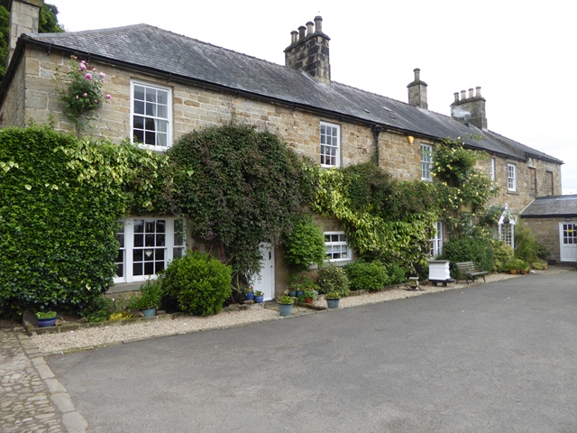
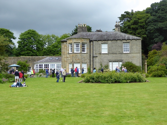
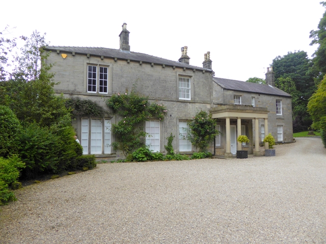
One of the notable features of Longwitton Village is its well-preserved architecture, which showcases a blend of traditional Northumberland style with influences from various historical periods. The village is home to a collection of beautiful stone houses, many of which date back several centuries, offering a visual feast for history enthusiasts and architecture aficionados alike.

The village's heritage is further highlighted by its impressive church, a focal point for the local community and a testament to the village's spiritual and historical significance. The church, with its striking gothic design and intricate stained glass windows, stands as a prominent landmark and serves as a reminder of the village's enduring religious tradition.

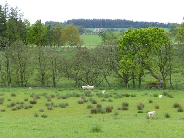
Longwitton Village also boasts a rich agricultural heritage, with a number of farms and fields dotting the surrounding landscape. This connection to the land is evident in the village's annual agricultural fair, a cherished event that celebrates the local farming community and showcases their produce.

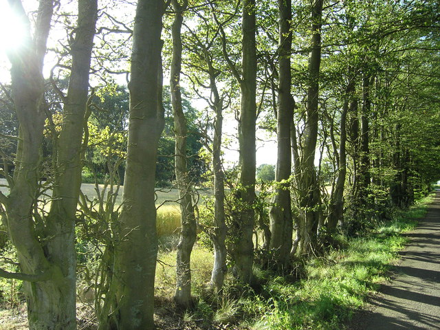
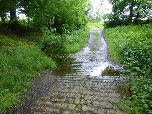
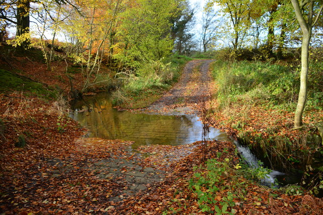
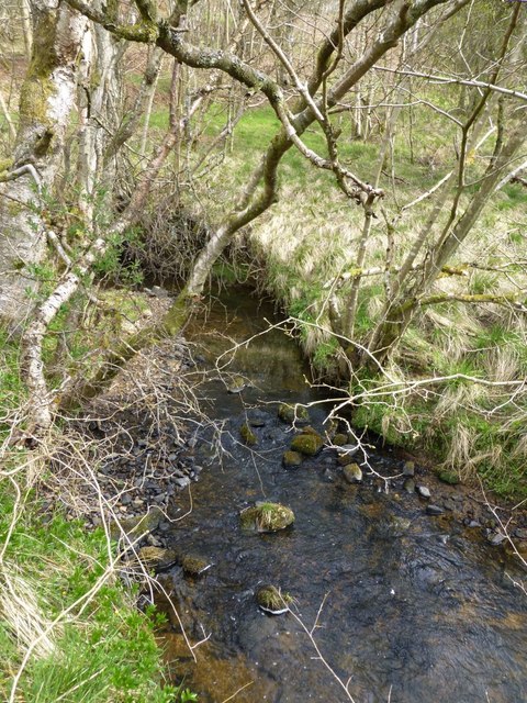
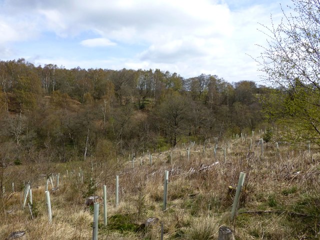
In addition to its historical and cultural significance, Longwitton Village offers visitors the chance to explore the stunning Northumberland countryside through a network of walking trails and scenic routes. The village's proximity to national parks and nature reserves provides ample opportunities for outdoor activities, such as hiking, birdwatching, and photography.

Overall, Longwitton Village is a hidden gem in Northumberland, offering a delightful combination of heritage, natural beauty, and a warm community spirit.

If you have any feedback on the listing, please let us know in the comments section below.

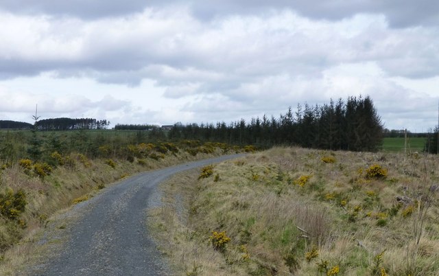
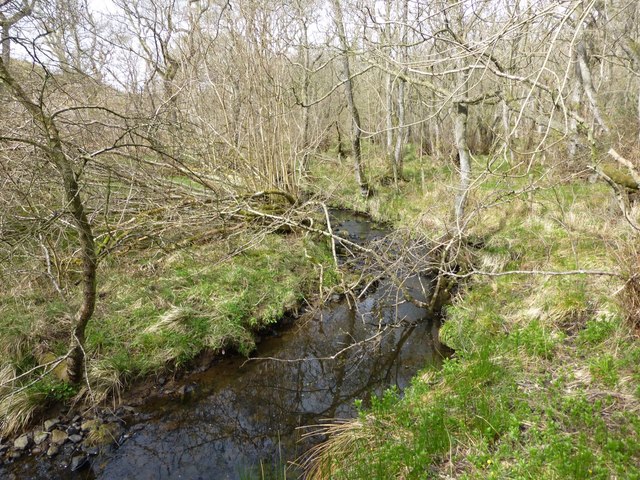
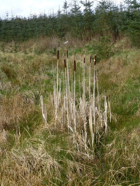
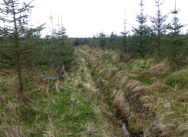
Longwitton Village Images

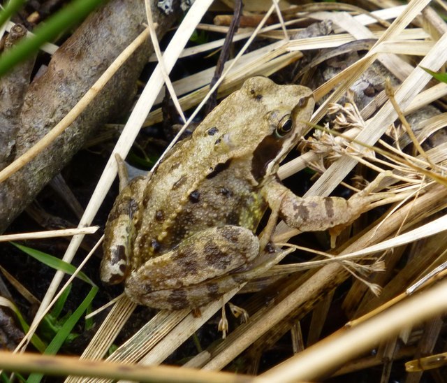
Images are sourced within 2km of 55.2/-1.882 or Grid Reference NZ0789. Thanks to Geograph Open Source API. All images are credited.

Avenue of Trees next to a Road in Northumberland
Ford crossing tributary of Dean Burn East of Windy Hill.
Ford crossing tributary of Dean Burn
East of Windy Hill.
Longwitton Hall The west wing of Longwitton Hall, dating from the 18th century.  The Hall is a curious assemblage of what appear to be three separate buildings, variously 18th and 19th century, on what is thought to have been the site of a medieval house. Grade 2 listed.
Longwitton Hall
The west wing of Longwitton Hall, dating from the 18th century. The Hall is a curious assemblage of what appear to be three separate buildings, variously 18th and 19th century, on what is thought to have been the site of a medieval house. Grade 2 listed.
Longwitton Hall The south elevation of Longwitton Hall, dating from the 19th century. The Hall is a curious assemblage of what appear to be three separate buildings, variously 18th and 19th century, on what is thought to have been the site of a medieval house. Grade 2 listed.

The crowds on the lawn have come for the National Garden Scheme open day, the first time the gardens have been open to the public for some years.
Longwitton Hall
The south elevation of Longwitton Hall, dating from the 19th century. The Hall is a curious assemblage of what appear to be three separate buildings, variously 18th and 19th century, on what is thought to have been the site of a medieval house. Grade 2 listed. The crowds on the lawn have come for the National Garden Scheme open day, the first time the gardens have been open to the public for some years.
Longwitton Hall The east elevation of Longwitton Hall, dating from the 19th century. The Hall is a curious assemblage of what appear to be three separate buildings, variously 18th and 19th century, on what is thought to have been the site of a medieval house. The porch appears to have been added almost as an afterthought. Grade 2 listed.
Longwitton Hall
The east elevation of Longwitton Hall, dating from the 19th century. The Hall is a curious assemblage of what appear to be three separate buildings, variously 18th and 19th century, on what is thought to have been the site of a medieval house. The porch appears to have been added almost as an afterthought. Grade 2 listed.
Ford at Longwitton Dene This bridleway ford at Longwitton Dene is found on a tributary of the Dean Burn. A video of the ford can be seen at:
<span class="nowrap"><a title="https://youtu.be/vQCrH3gS8l4" rel="nofollow ugc noopener" href="https://youtu.be/vQCrH3gS8l4">Link</a><img style="margin-left:2px;" alt="External link" title="External link - shift click to open in new window" src="https://s1.geograph.org.uk/img/external.png" width="10" height="10"/></span>
Ford at Longwitton Dene
This bridleway ford at Longwitton Dene is found on a tributary of the Dean Burn. A video of the ford can be seen at: LinkExternal link
High seat for hunters culling deer Two roe deer bounded into the wood 200 m further on.
High seat for hunters culling deer
Two roe deer bounded into the wood 200 m further on.
Improvised bridge To allow quad bikes to cross the ditch.
Improvised bridge
To allow quad bikes to cross the ditch.
Forest track on Broomfield Fell The forest on the right has been clear felled and replanted.
Forest track on Broomfield Fell
The forest on the right has been clear felled and replanted.
Ewesley Gill Disturbed roe deer bounded off.
A pair of buzzards mewled above.
Ewesley Gill
Disturbed roe deer bounded off. A pair of buzzards mewled above.
Bulrushes in a drainage ditch On Broomfield Fell.
Bulrushes in a drainage ditch
On Broomfield Fell.
Drainage ditch  In forest on Broonfield Fell.
Drainage ditch
In forest on Broonfield Fell.
Ewesley Gill Runs into Ewesley Burn before joining the River Font.
Ewesley Gill
Runs into Ewesley Burn before joining the River Font.
Frog  Posing beside Ewesley Gill.
Frog
Posing beside Ewesley Gill.
Replanted mixed broadleaves After clear felling above Ewesley Gill.
Roe deer bounded off and buzzards mewled above.
Replanted mixed broadleaves
After clear felling above Ewesley Gill. Roe deer bounded off and buzzards mewled above.
Pasture with rushes and sheep The Ewesley Burn follows the line of trees in the middle ground.
Bellion in the distance.
Pasture with rushes and sheep
The Ewesley Burn follows the line of trees in the middle ground. Bellion in the distance.
Footpath through Broomfield Fell Forest
Shooting platform In the woods on Broomfield Fell.
Shooting platform
In the woods on Broomfield Fell.
Show me another place!

Longwitton Village is located at Grid Ref: NZ0789 (Lat: 55.2, Lng: -1.882)

What 3 Words

///proves.dream.burying. Near Rothley, Northumberland

Nearby Locations

Longwitton Village

Related Wikis

Netherwitton Hall

Netherwitton Hall is a mansion house, and a Grade I listed building at Netherwitton, near Morpeth, Northumberland, England.The estate was owned by the...

Netherwitton

Netherwitton is a village in Northumberland, England about 8 miles (13 km) west north west of Morpeth. A former cotton-mill now converted into residential...

Nunnykirk Hall

Nunnykirk Hall is a 19th-century country house and Grade I listed building in the civil parish of Nunnykirk, near the village of Netherwitton in the English...

Nunnykirk

Nunnykirk is a settlement and civil parish in the county of Northumberland, England. Nunnykirk is the location of Nunnykirk Hall, a former nunnery country...

Nearby Amenities

Located within 500m of 55.2,-1.882
The data included in this document is from www.openstreetmap.org. The data is made available under ODbL.

Have you been to Longwitton Village?

Leave your review of Longwitton Village below (or comments, questions and feedback).