Longtown Castle
Heritage Site in Herefordshire
England
Longtown Castle

Longtown Castle is a medieval fortress located in Herefordshire, England. Situated on a hilltop overlooking the village of Longtown, the castle is a well-preserved example of a motte-and-bailey castle, dating back to the 12th century. It is designated as a Grade I listed building and is considered a heritage site of national importance.
The castle was originally built by Hugh de Lacy, a Norman lord, in the late 11th century. It consists of a large motte, or artificial mound, surrounded by a deep ditch and a bailey, an enclosed courtyard. The motte would have housed the main keep or tower, providing a strategic vantage point for defense.
Longtown Castle played a significant role in the border conflicts between England and Wales during the Middle Ages. It changed hands multiple times and underwent several modifications and expansions. The castle was besieged and damaged during the Welsh rebellion led by Owain Glyndŵr in the early 15th century.
Today, Longtown Castle stands as an impressive ruin, with the remains of the motte, bailey walls, and fragments of the keep still visible. The site is managed by English Heritage and is open to the public. Visitors can explore the castle grounds, walk along the top of the motte, and enjoy panoramic views of the surrounding countryside.
Longtown Castle is not only an architectural gem but also a testament to the rich history and turbulent past of the English-Welsh border region. It attracts history enthusiasts, tourists, and locals alike, who are fascinated by its medieval charm and captivating stories.
If you have any feedback on the listing, please let us know in the comments section below.
Longtown Castle Images
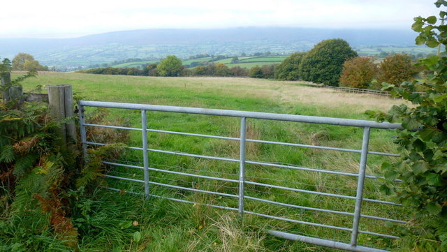
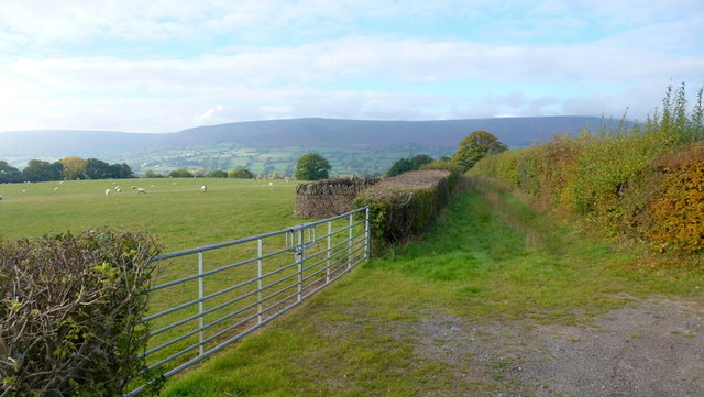
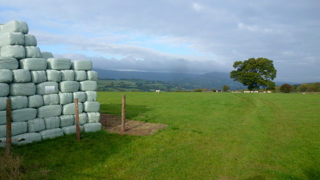
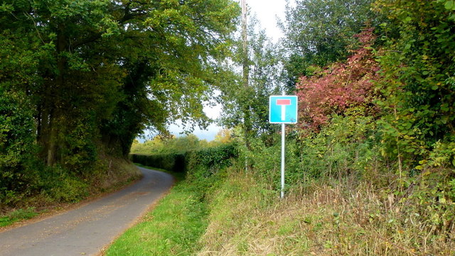
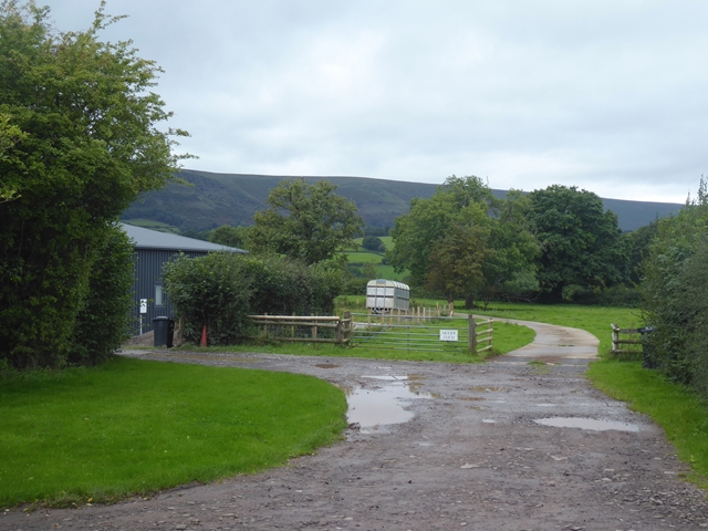
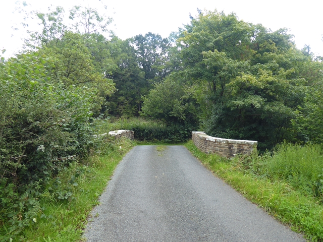
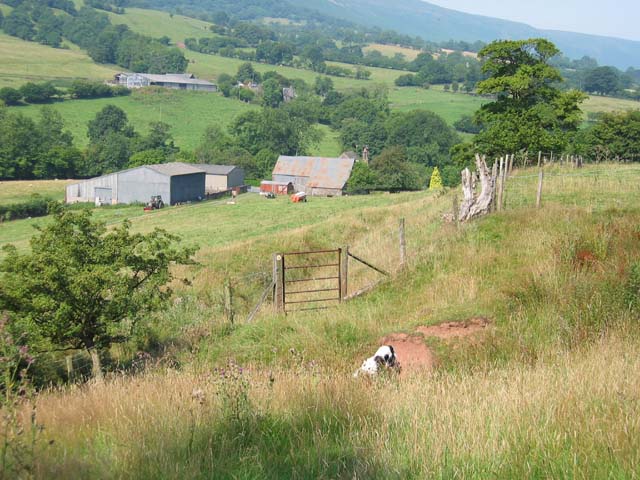
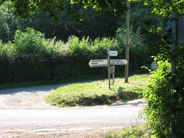
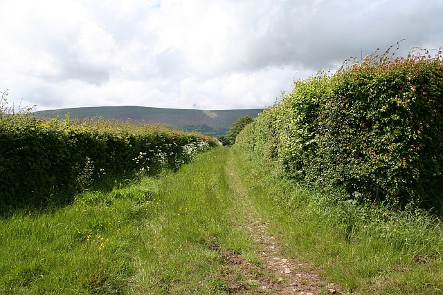
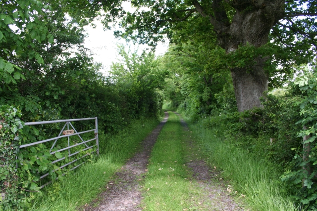
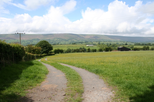
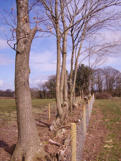
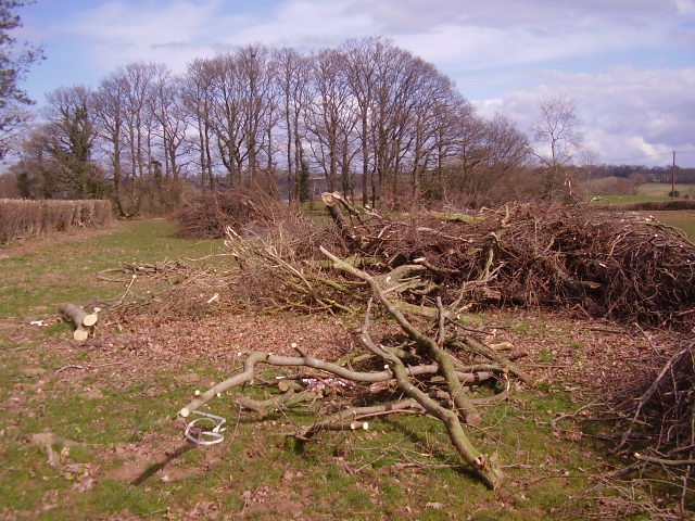
Images are sourced within 2km of 51.96/-2.982 or Grid Reference SO3229. Thanks to Geograph Open Source API. All images are credited.
Longtown Castle is located at Grid Ref: SO3229 (Lat: 51.96, Lng: -2.982)
What 3 Words
///plotting.banter.fidelity. Near Longtown, Herefordshire
Nearby Locations
Related Wikis
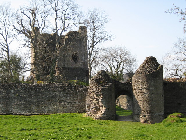
Longtown Castle
Longtown Castle, also termed Ewias Lacey Castle in early accounts, is a ruined Norman motte-and-bailey fortification in Longtown, Herefordshire. It was...
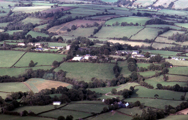
Longtown, Herefordshire
Longtown is a linear village and parish in Herefordshire, England. The parish includes the village of Clodock and had a population in mid-2010 of 543...

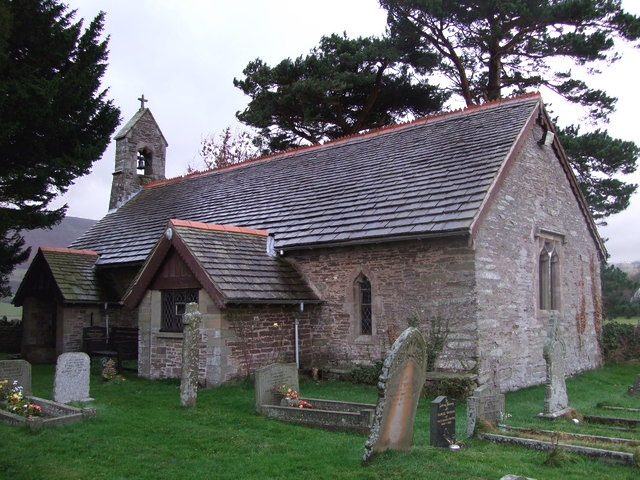
Clodock
Clodock Welsh: Clydog is a village in the west of Herefordshire, England. It lies on the River Monnow in the foothills of the Black Mountains, close to...
Llanveynoe
Llanveynoe (Welsh: Llanfeuno) is a village and civil parish in Herefordshire, England, near the Welsh border and the Brecon Beacons National Park, 14 miles...
Nearby Amenities
Located within 500m of 51.96,-2.982Have you been to Longtown Castle?
Leave your review of Longtown Castle below (or comments, questions and feedback).