Longstone Barrow

Heritage Site in Devon

England

Longstone Barrow

Sheep grazing above Old Close Bottom
Sheep grazing above Old Close Bottom Credit: David Martin

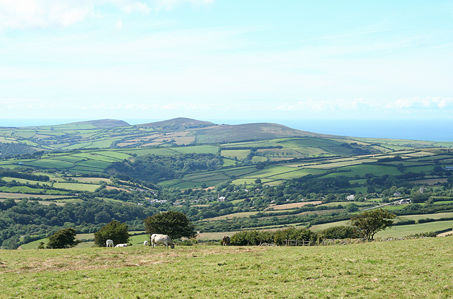
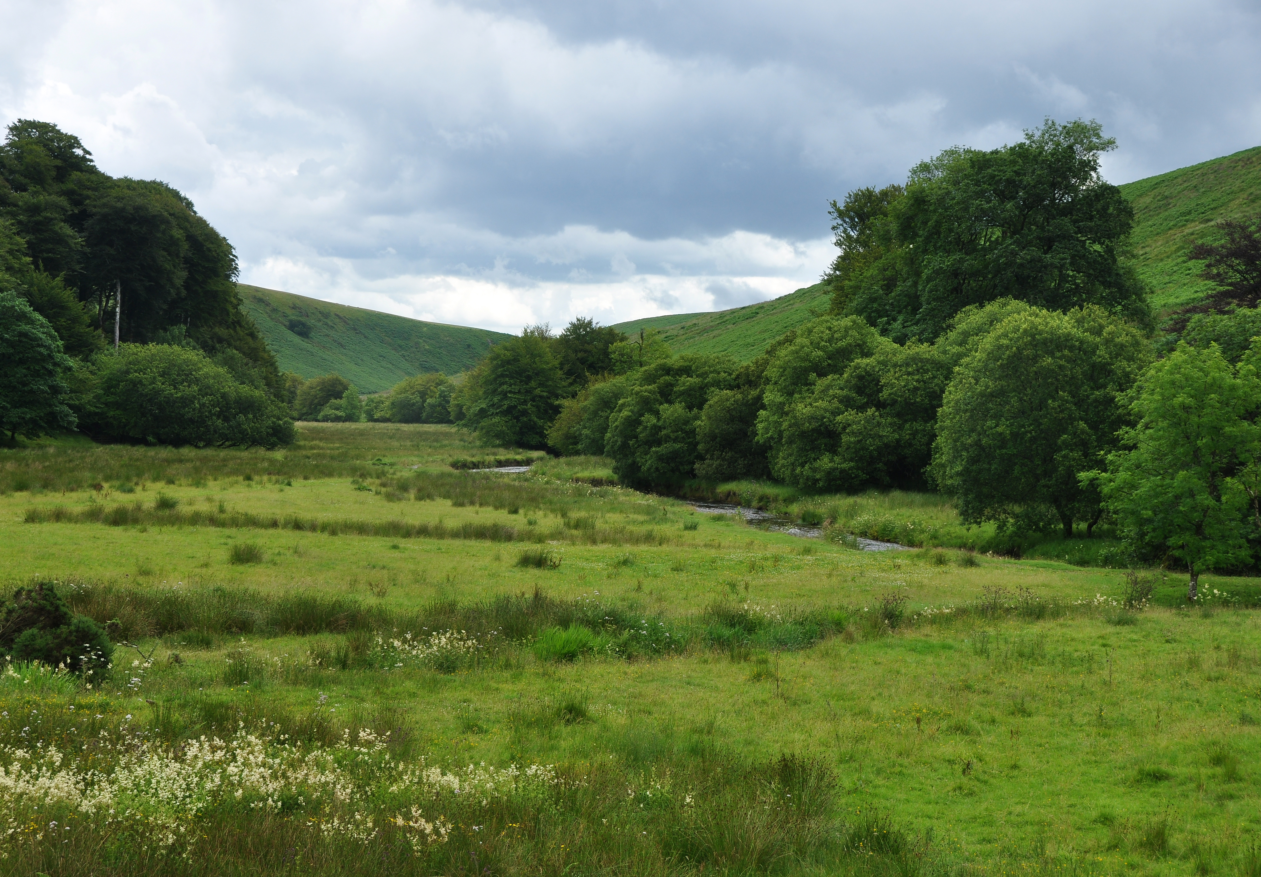
Longstone Barrow, located in Devon, England, is a significant heritage site that holds immense historical and archaeological importance. This ancient burial mound, dating back to the Neolithic period, is situated on the bleak moorland of Dartmoor National Park.

Longstone Barrow measures around 30 meters in diameter and 1.5 meters in height, with its primary feature being a pair of granite standing stones, known as the "Longstones," positioned at its eastern end. These stones, standing at approximately 2.5 meters tall, are believed to have been placed there around 3,500 BCE, making them one of the oldest examples of standing stones in the region.

The purpose of the Longstone Barrow is believed to have been a communal burial site, where early inhabitants of the area would lay their deceased to rest. Archaeological excavations conducted in the early 20th century revealed the presence of cremated human remains, pottery shards, and flint tools, all indicating the site's significance as a burial ground.

The preservation of Longstone Barrow is of utmost importance, as it not only provides valuable insights into the ancient burial practices of the Neolithic people but also serves as a testament to the rich cultural heritage of the region. The site is protected under the Ancient Monuments and Archaeological Areas Act 1979, which safeguards its integrity for future generations.

Visitors to Longstone Barrow can explore the site and immerse themselves in its ancient atmosphere. While the moorland surroundings may appear desolate, the barrow's historical significance and the mystery that shrouds its purpose make it a captivating destination for history enthusiasts and those seeking to connect with the past.

If you have any feedback on the listing, please let us know in the comments section below.

Longstone Barrow Images

Images are sourced within 2km of 51.167/-3.852 or Grid Reference SS7042. Thanks to Geograph Open Source API. All images are credited.

Sheep grazing above Old Close Bottom
Field gate with distant view of Challacombe
Challacombe: Simonsbath road at the Black Venus The Black Venus Inn is on the B3358 which links Simonsbath with Blackmoor Gate. The pub was earlier named the Ring of Bells, although it is nowhere near Challacombe church. Here the drayman from St Austell Brewery takes empty kegs back to his lorry
Challacombe: Simonsbath road at the Black Venus
The Black Venus Inn is on the B3358 which links Simonsbath with Blackmoor Gate. The pub was earlier named the Ring of Bells, although it is nowhere near Challacombe church. Here the drayman from St Austell Brewery takes empty kegs back to his lorry
Parracombe: on Parracombe Common Looking towards the village which lies in a hollow between the coastal hills and the main mass of Exmoor. With the Bristol Channel in the far distance
Parracombe: on Parracombe Common
Looking towards the village which lies in a hollow between the coastal hills and the main mass of Exmoor. With the Bristol Channel in the far distance
Challacombe: Two Gates There is only one gate here today. It is where the bridleway from Challacombe continues as  a track to Parracombe
Challacombe: Two Gates
There is only one gate here today. It is where the bridleway from Challacombe continues as a track to Parracombe
Challacombe Post Office & Telephone kiosk A very wet and steamy day!
Challacombe Post Office & Telephone kiosk
A very wet and steamy day!
Ford and swollen river at Challacombe
Radworthy Farm All that remains of the Radworthy settlement is this overgrown windbreak and small fields delineated by raised banks on the hillside.
Radworthy Farm
All that remains of the Radworthy settlement is this overgrown windbreak and small fields delineated by raised banks on the hillside.
Chapman Barrows These shaggy cattle seemed perfectly at home in the harsh Exmoor Winter.  Behind the trees is Bray Reservoir and on the skyline, Shoulsbarrow Common.
Chapman Barrows
These shaggy cattle seemed perfectly at home in the harsh Exmoor Winter. Behind the trees is Bray Reservoir and on the skyline, Shoulsbarrow Common.
Challacombe Reservoir Marked as Bray Res on maps, it is the source of the R Bray and was built in 1936 to supply Ilfracombe with drinking water.  
The reservoir is now managed by South West Water plc and holds approximately 52 million litres of water.
There is Open Access around the water but as no Southward exit is apparent, this Geographer remained on the high ground.
Challacombe Reservoir
Marked as Bray Res on maps, it is the source of the R Bray and was built in 1936 to supply Ilfracombe with drinking water. The reservoir is now managed by South West Water plc and holds approximately 52 million litres of water. There is Open Access around the water but as no Southward exit is apparent, this Geographer remained on the high ground.
Longhorn cattle on Exmoor These cattle had long horns and were rather too inquisitive for our liking, so we abandoned our picnic before they got too close!
Longhorn cattle on Exmoor
These cattle had long horns and were rather too inquisitive for our liking, so we abandoned our picnic before they got too close!
Swincombe Rocks Rock outcrops in the combe above Bray Reservoir.
Swincombe Rocks
Rock outcrops in the combe above Bray Reservoir.
Gateway to the moors This is the point at which the bridleway over to Parracombe reaches the end of farmland and the start of the open moor.  The stone dykes with hedges on top are typical of the area.
Gateway to the moors
This is the point at which the bridleway over to Parracombe reaches the end of farmland and the start of the open moor. The stone dykes with hedges on top are typical of the area.
Gate onto access land, Challacombe Common
Field gate near Withycombe
View across Challacombe Common
View over Challacombe Common
Ford on the River Bray at Challacombe
Show me another place!

Longstone Barrow is located at Grid Ref: SS7042 (Lat: 51.167, Lng: -3.852)

What 3 Words

///irony.unit.probing. Near Lynton, Devon

Nearby Locations

Longstone Barrow

Related Wikis

Barle Valley

Barle Valley is a 1,540 acres (620 ha) Site of Special Scientific Interest within Exmoor National Park, situated in the counties of Devon and Somerset...

Challacombe

Challacombe is a small village on the edge of the Exmoor National Park, in Devon, England. The village has a small general shop/Post Office and a single...

Shallowford, Devon

Shallowford is a hamlet in the civil parish of Lynton and Lynmouth in the North Devon district of Devon, England. Its nearest town is Lynton, which lies...

Shoulsbury castle

Shoulsbury Castle is an Iron Age hill fort close to Challacombe in Devon, England. It takes the form of a multi-ditch and rampart enclosure close to the...

Have you been to Longstone Barrow?

Leave your review of Longstone Barrow below (or comments, questions and feedback).