Longtree Bottom
Valley in Gloucestershire Stroud
England
Longtree Bottom
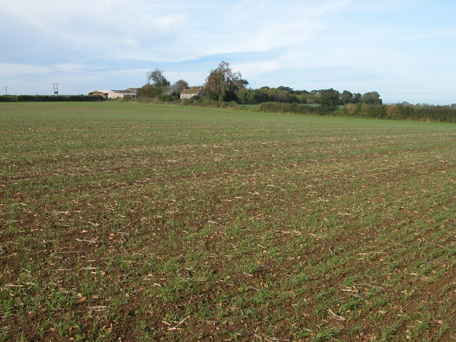
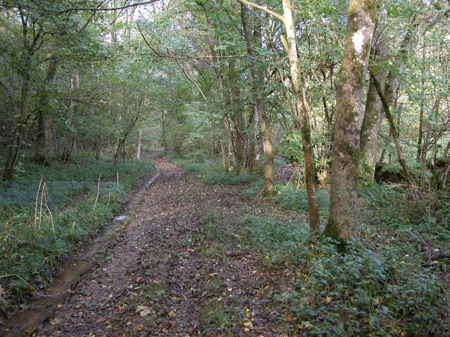
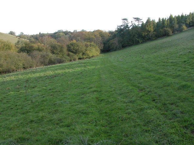
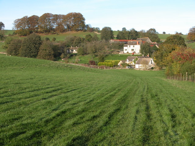
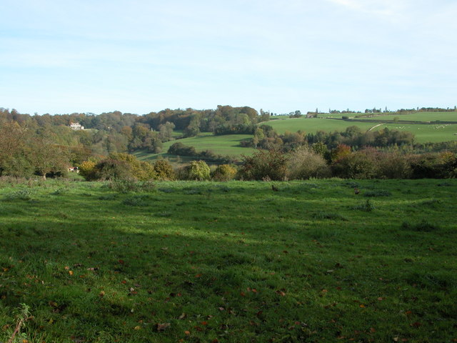
Longtree Bottom is a picturesque valley located in the county of Gloucestershire, England. Situated in the heart of the Cotswolds, this tranquil landscape is renowned for its stunning natural beauty and rich history.
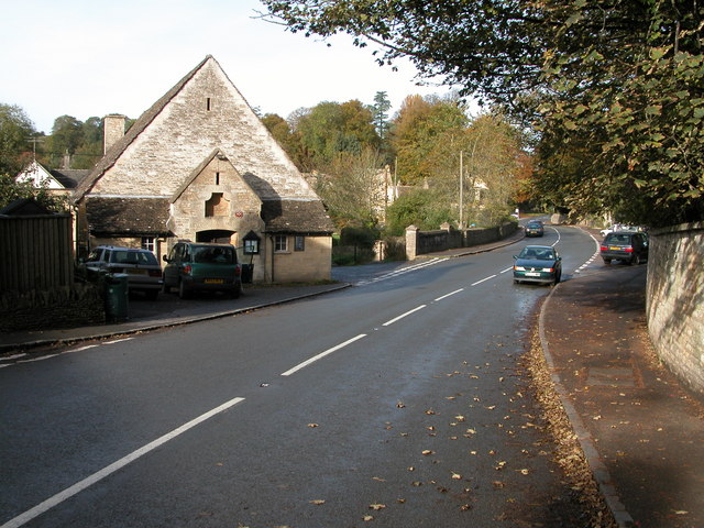
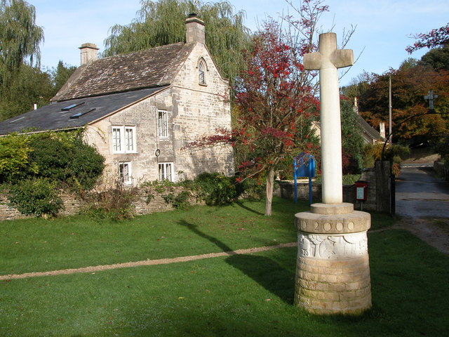
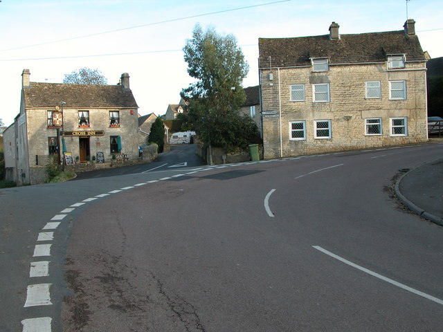
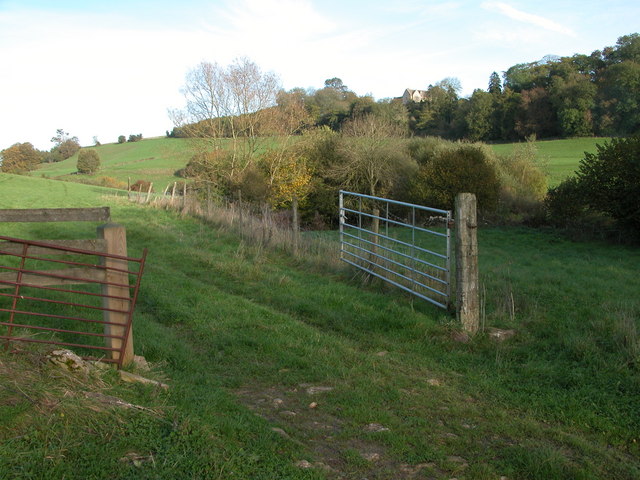
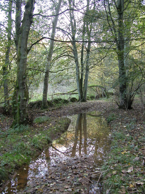
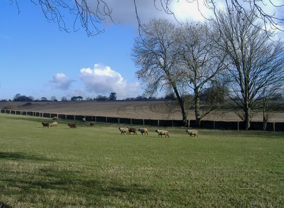
The valley is characterized by rolling hills, lush green meadows, and a meandering river that runs through its center. The surrounding countryside is dotted with charming hamlets and traditional stone-built cottages, adding to the area's idyllic charm. Longtree Bottom offers breathtaking views at every turn, making it a popular destination for nature lovers and outdoor enthusiasts.
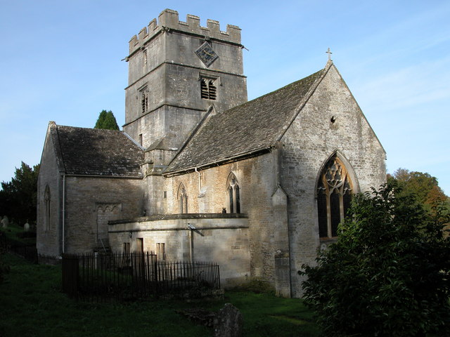
The valley is also steeped in history, with evidence of human habitation dating back to ancient times. Archaeological finds, such as Roman coins and pottery, have been discovered in the area, suggesting a long and diverse past. There are also remnants of medieval settlements and historic landmarks, including a 12th-century church that stands as a testament to the valley's heritage.
Longtree Bottom is a haven for wildlife, with an abundance of flora and fauna. The valley is home to a variety of bird species, including kingfishers, herons, and owls. The river that flows through the valley is teeming with trout and other freshwater fish, making it a popular spot for fishing enthusiasts.
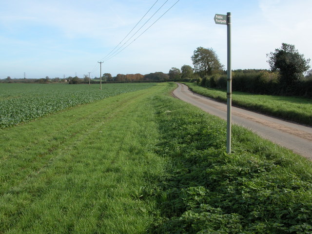
Visitors to Longtree Bottom can enjoy a range of outdoor activities, such as hiking, cycling, and picnicking. The valley is crisscrossed by numerous walking trails, offering breathtaking views and opportunities to explore the surrounding countryside.
Overall, Longtree Bottom is a hidden gem in Gloucestershire, offering a perfect blend of natural beauty, history, and outdoor adventure.
If you have any feedback on the listing, please let us know in the comments section below.
Longtree Bottom Images
Images are sourced within 2km of 51.667009/-2.1880213 or Grid Reference ST8796. Thanks to Geograph Open Source API. All images are credited.


Longtree Bottom is located at Grid Ref: ST8796 (Lat: 51.667009, Lng: -2.1880213)
Administrative County: Gloucestershire
District: Stroud
Police Authority: Gloucestershire
What 3 Words
///mysteries.purifier.bonnet. Near Avening, Gloucestershire
Nearby Locations
Related Wikis
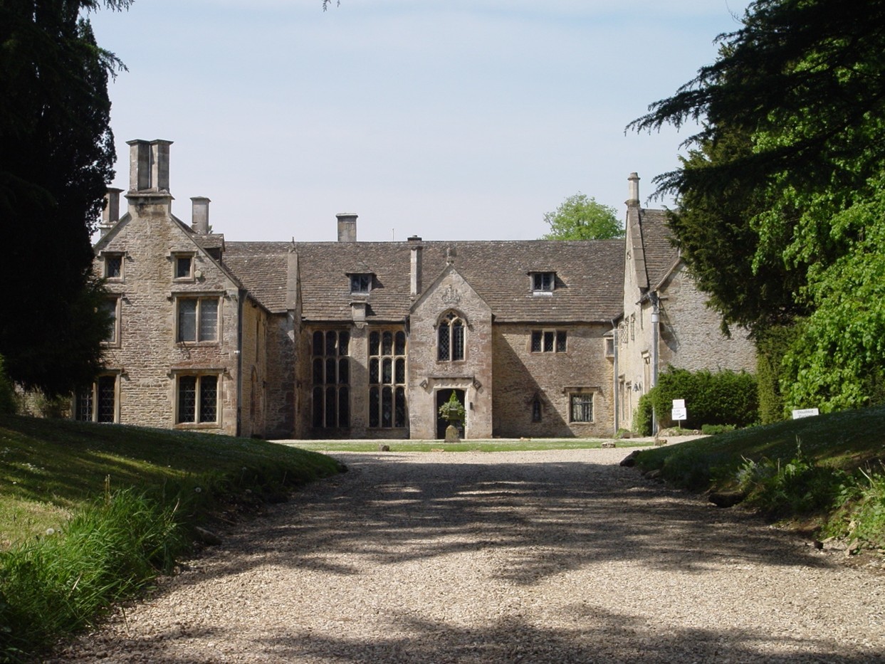
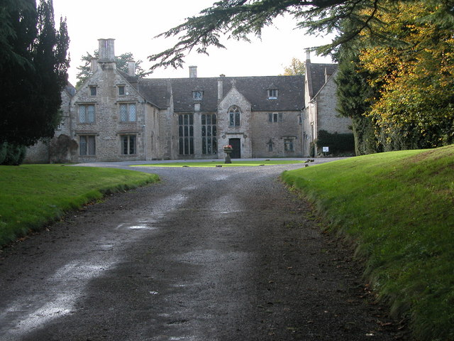
Chavenage House
Chavenage House, Beverston, Gloucestershire is a country house dating from the late 16th century. The house was built in 1576 and is constructed of Cotswold...

Church of the Holy Cross, Avening
The Anglican Church of the Holy Cross at Avening in the Cotswold District of Gloucestershire, England was built in late 11th century. It is a grade I listed...

Avening Valley
The Avening Valley is located in the South Cotswolds in England, running roughly east from Nailsworth and through the village of Avening.During the 17th...

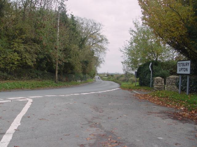
Tetbury Upton
Tetbury Upton is a small village and civil parish in the Cotswolds area of Gloucestershire, England. The parish extends in an arc around the north, west...
Nearby Amenities
Located within 500m of 51.667009,-2.1880213Have you been to Longtree Bottom?
Leave your review of Longtree Bottom below (or comments, questions and feedback).