King John's Palace

Heritage Site in Nottinghamshire

England

King John's Palace

Abandoned road near Culloden, Sherwood Forest Park
Abandoned road near Culloden, Sherwood Forest Park Credit: Jonathan Thacker

King John's Palace, located in Nottinghamshire, England, is a historically significant heritage site that offers a glimpse into the medieval era. The palace, also known as Clipstone Castle, was constructed during the 12th century and served as a hunting lodge and administrative center for King John, the notorious monarch who ruled England from 1199 to 1216.

The remains of King John's Palace reveal a once grand structure, characterized by its impressive architecture and commanding presence. The site features extensive stone foundations and remnants of a large hall, indicating the palace's former grandeur. The remaining walls, although in ruins, display intricate details and decorative elements that showcase the craftsmanship of the time.

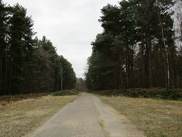
The palace's strategic location within Sherwood Forest highlights its significance as a hunting retreat for the medieval royalty. Situated near a vast expanse of woodland, it provided King John and his entourage with ample opportunities for hunting deer and other game. The palace also served as a center for royal administration, hosting important meetings and councils.

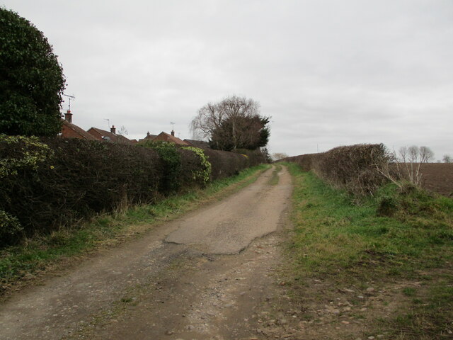
Visitors to King John's Palace can explore the grounds and imagine the splendor that once existed within its walls. Interpretative displays provide insights into the history of the site, while information boards offer details about the life and reign of King John. The surrounding landscape is beautiful, providing a tranquil setting for visitors to appreciate the historical significance of this heritage site.

Overall, King John's Palace stands as a testament to the medieval era, offering a fascinating insight into the life and times of one of England's most controversial kings.

If you have any feedback on the listing, please let us know in the comments section below.

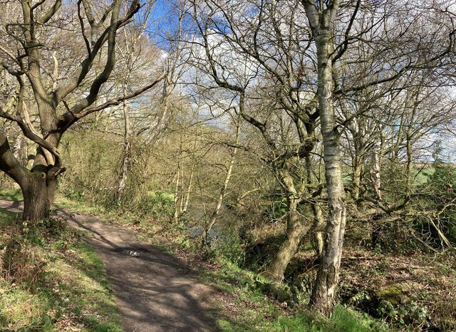
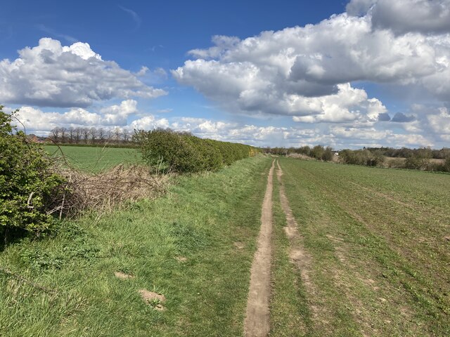
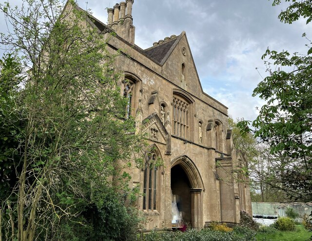
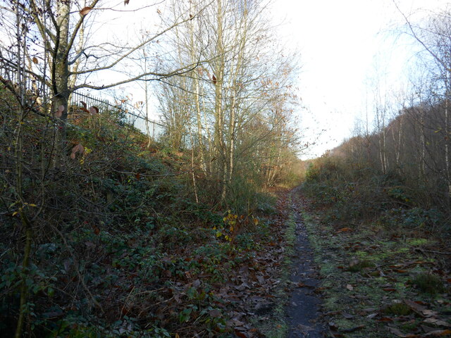
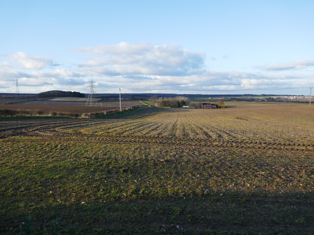
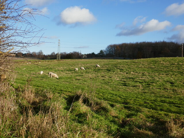
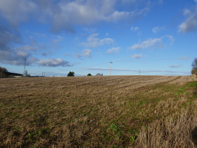
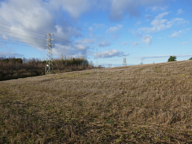
King John's Palace Images

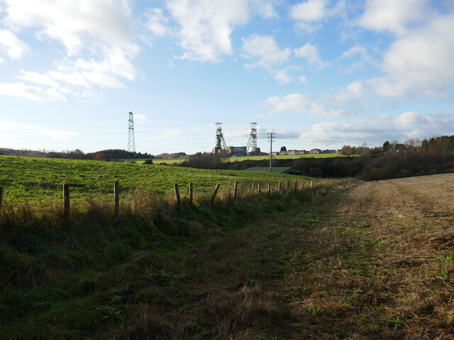
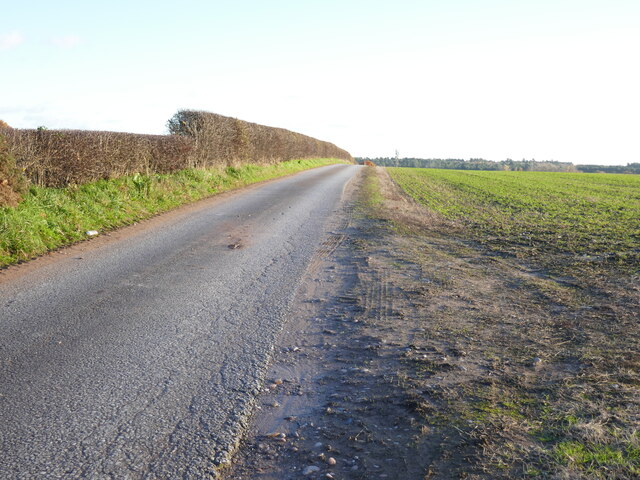
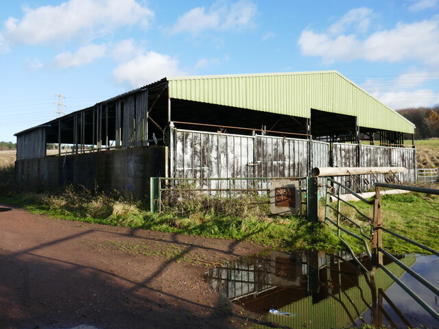
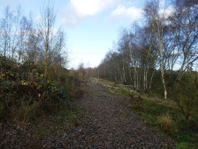
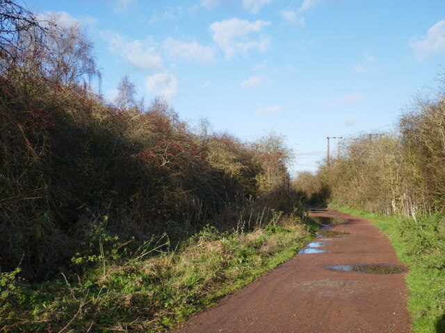
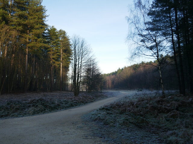
Images are sourced within 2km of 53.173/-1.095 or Grid Reference SK6064. Thanks to Geograph Open Source API. All images are credited.

Abandoned road near Culloden, Sherwood Forest Park
Track at King's Clipstone
The Dog and Duck in Kings Clipstone Pub, restaurant and gelateria at the eastern end of the village.
The Dog and Duck in Kings Clipstone
Pub, restaurant and gelateria at the eastern end of the village.
Railway Embankment and Flood Dyke in Kings Clipstone This is the course of the Lancashire, Derbyshire and East Coast Railway (LD&ECR), also enticingly known as the Dukeries Line back in its day, although it was coal not tourism which probably prolonged the lifespan of this particular route.
Railway Embankment and Flood Dyke in Kings Clipstone
This is the course of the Lancashire, Derbyshire and East Coast Railway (LD&ECR), also enticingly known as the Dukeries Line back in its day, although it was coal not tourism which probably prolonged the lifespan of this particular route.
The Robin Hood Way by the River Maun
The Robin Hood Way approaching Edwinstowe
Close Up Detail of Archway House
Path along the course of an old railway This was the Mansfield Railway, opened in 1913 and initially operated by the Great Central Railway <span class="nowrap"><a title="https://en.wikipedia.org/wiki/Mansfield_Railway" rel="nofollow ugc noopener" href="https://en.wikipedia.org/wiki/Mansfield_Railway">Link</a><img style="margin-left:2px;" alt="External link" title="External link - shift click to open in new window" src="https://s1.geograph.org.uk/img/external.png" width="10" height="10"/></span>
Path along the course of an old railway
This was the Mansfield Railway, opened in 1913 and initially operated by the Great Central Railway LinkExternal link
Field boundary and view of the headstocks of the former Clipstone Colliery
Roadway to Fir Tree Farm
Isolated barn
Isolated barn
Course of the former Mansfield Railway The Mansfield Railway opened in 1913 and was initially operated by the Great Central Railway <span class="nowrap"><a title="https://en.wikipedia.org/wiki/Mansfield_Railway" rel="nofollow ugc noopener" href="https://en.wikipedia.org/wiki/Mansfield_Railway">Link</a><img style="margin-left:2px;" alt="External link" title="External link - shift click to open in new window" src="https://s1.geograph.org.uk/img/external.png" width="10" height="10"/></span>
Course of the former Mansfield Railway
The Mansfield Railway opened in 1913 and was initially operated by the Great Central Railway LinkExternal link
Prepared fields near Lidgett Eastfield Cottage in the centre of the picture.
Prepared fields near Lidgett
Eastfield Cottage in the centre of the picture.
Grazing sheep near Clipstone
Stubble field near Clipstone
Stubble field and pylons
Bridleway to Kings Clipstone
Track in Sherwood Pines Forest Park
Show me another place!

King John's Palace is located at Grid Ref: SK6064 (Lat: 53.173, Lng: -1.095)

Police Authority: Nottinghamshire

What 3 Words

///husky.national.lion. Near King's Clipstone, Nottinghamshire

Related Wikis

King John's Palace

King John's Palace is the remains of a former medieval royal residence in Clipstone, north-west Nottinghamshire. The name "King John's Palace" has been...

Kings Clipstone

Kings Clipstone is a settlement and civil parish, in the Newark and Sherwood district, in the county of Nottinghamshire, England. The parish lies in the...

Clipstone

Clipstone in north Nottinghamshire is a small ex-coal mining village built on the site of an old army base and close to the site of a medieval royal palace...
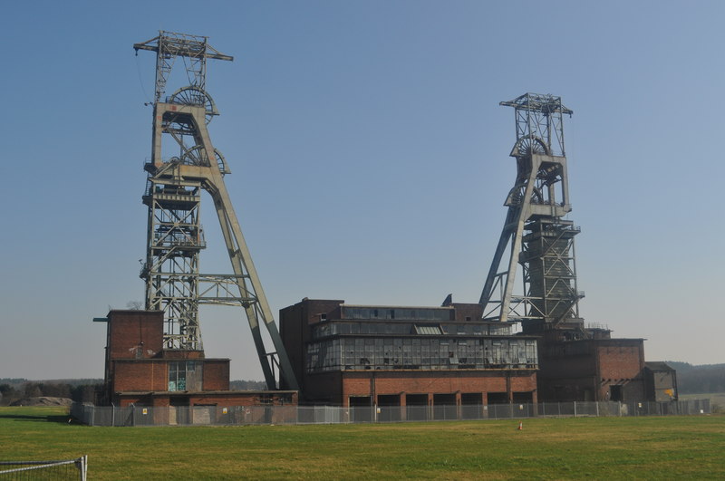
Clipstone Colliery

Clipstone Colliery was a coal mine in the village of Clipstone, Nottinghamshire, part of the area known as The Dukeries. The colliery opened in 1922 and...

Edwinstowe

Edwinstowe is a village and civil parish in the Newark and Sherwood district of Nottinghamshire, England, on the edge of Sherwood Forest and the Dukeries...

Sherwood Forest Railway

The Sherwood Forest Railway (SFR) is a 15 in (381 mm) gauge light railway running through the old site of the Sherwood Forest Farm Park in Nottinghamshire...

Clipstone railway station

Clipstone Colliery Sidings railway station was a station in Clipstone, Nottinghamshire.While primarily a goods station, there was an unadvertised halt...

The Rufford School

Rufford Comprehensive School (later just The Rufford School) was a secondary school in the village of Edwinstowe in Nottinghamshire, England which opened...

Nearby Amenities

Located within 500m of 53.173,-1.095
Parking
Ele: 69.0000000
Lat/Long: 53.1740641/-1.1022237
King John's Palace
Historic: ruins
Historic Civilization: middle-ages
Source: Bing;local knowledge
Wikidata: Q6411770
Lat/Long: 53.1766369/-1.0987136
Description: Portland Flood Meadows
Information: board
Tourism: information
Lat/Long: 53.1771348/-1.0947673
Power: pole
Lat/Long: 53.1768586/-1.0940731
Power: pole
Lat/Long: 53.1762638/-1.0942608
Power: pole
Lat/Long: 53.1753828/-1.09458
Power: pole
Lat/Long: 53.1745468/-1.0949716
Power: pole
Lat/Long: 53.1737687/-1.0965702
Power: pole
Lat/Long: 53.1729906/-1.0969859
Power: pole
Lat/Long: 53.1721915/-1.0974339
Power: pole
Lat/Long: 53.1713828/-1.0978442
Power: pole
Lat/Long: 53.1698972/-1.098657
Turning Circle
Lat/Long: 53.1726665/-1.0982465
Charging Station
Capacity: 2
Operator: Pod Point
Ref: Leon-Tara
Socket Type2: 2
Socket Type2 Output: 7 kW
Lat/Long: 53.1689936/-1.0940087
The data included in this document is from www.openstreetmap.org. The data is made available under ODbL.

Have you been to King John's Palace?

Leave your review of King John's Palace below (or comments, questions and feedback).