Kings Clipstone

Settlement in Nottinghamshire Newark and Sherwood

England

Kings Clipstone

Abandoned road near Culloden, Sherwood Forest Park
Abandoned road near Culloden, Sherwood Forest Park Credit: Jonathan Thacker

Kings Clipstone is a small village located in the county of Nottinghamshire, England. Situated approximately 4 miles north of Mansfield, it is nestled within the heart of Sherwood Forest. The village has a rich historical significance, stemming from its connection to the legendary figure of Robin Hood.

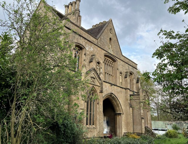
One of the main attractions in Kings Clipstone is the remains of King John's Palace. This medieval hunting lodge, also known as Clipstone Castle, was a favorite residence of King John in the 12th and 13th centuries. Today, only the foundations and some walls remain, but they offer a glimpse into the grandeur of the past. Visitors can explore the site and learn about the history of the palace through informative displays.

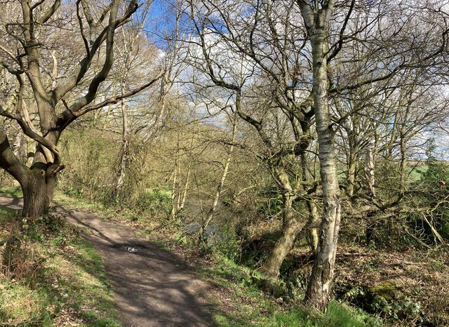
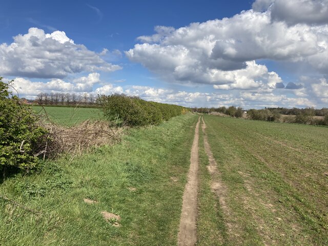
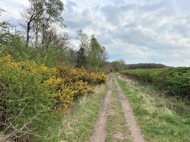
The village itself exudes a traditional charm, with its picturesque cottages and narrow streets. Walking around, one can find a few local shops, a pub, and a village hall. The surrounding countryside invites visitors to take leisurely walks and enjoy the natural beauty of the area.

Kings Clipstone is also a popular destination for Robin Hood enthusiasts. Many believe that the nearby Birklands Forest was the setting for his legendary adventures. There are various guided tours and trails that allow visitors to follow in the footsteps of the famous outlaw.

Overall, Kings Clipstone offers a unique blend of history, natural beauty, and folklore, making it a must-visit destination for those interested in English heritage and the tales of Robin Hood.

If you have any feedback on the listing, please let us know in the comments section below.

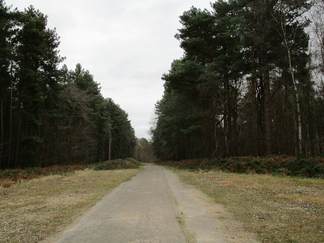
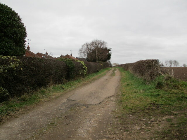
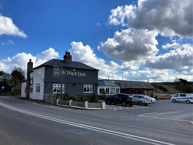
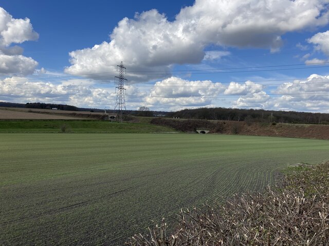
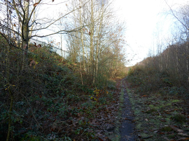
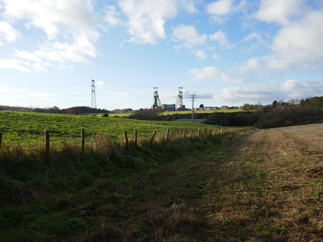
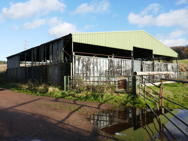
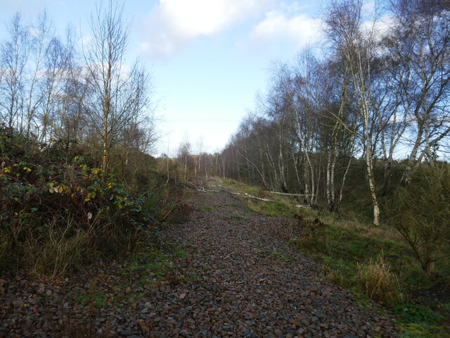
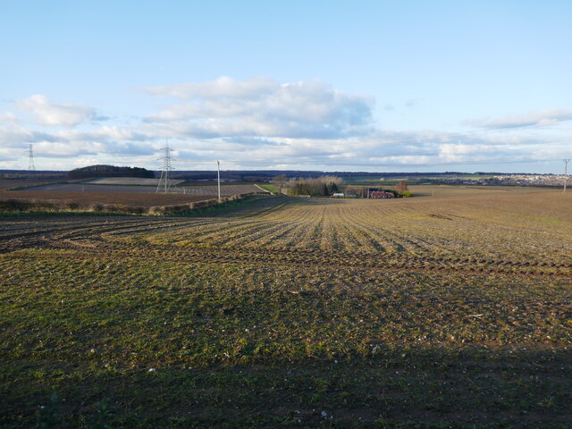
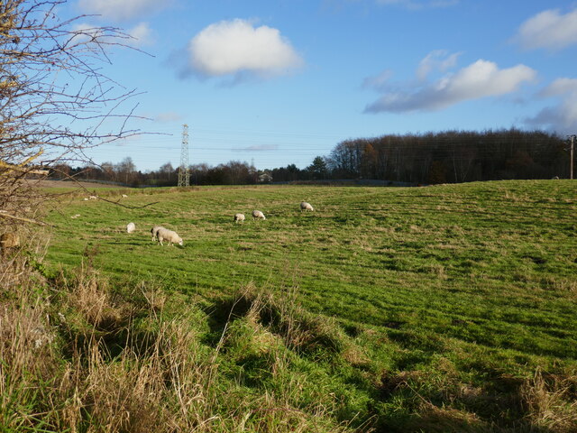
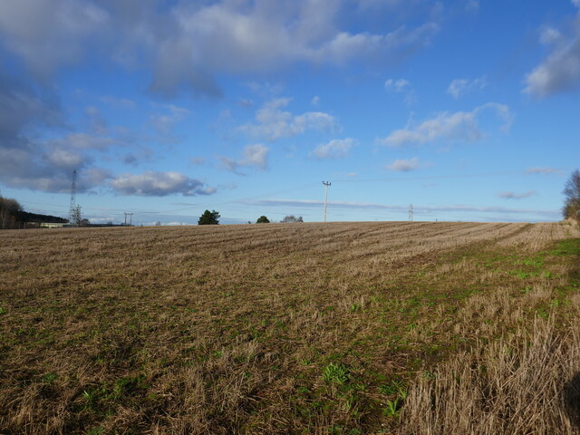
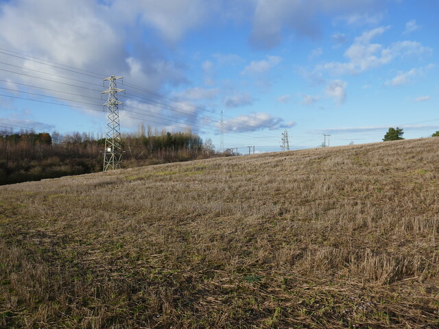
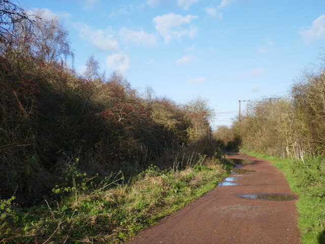
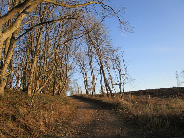
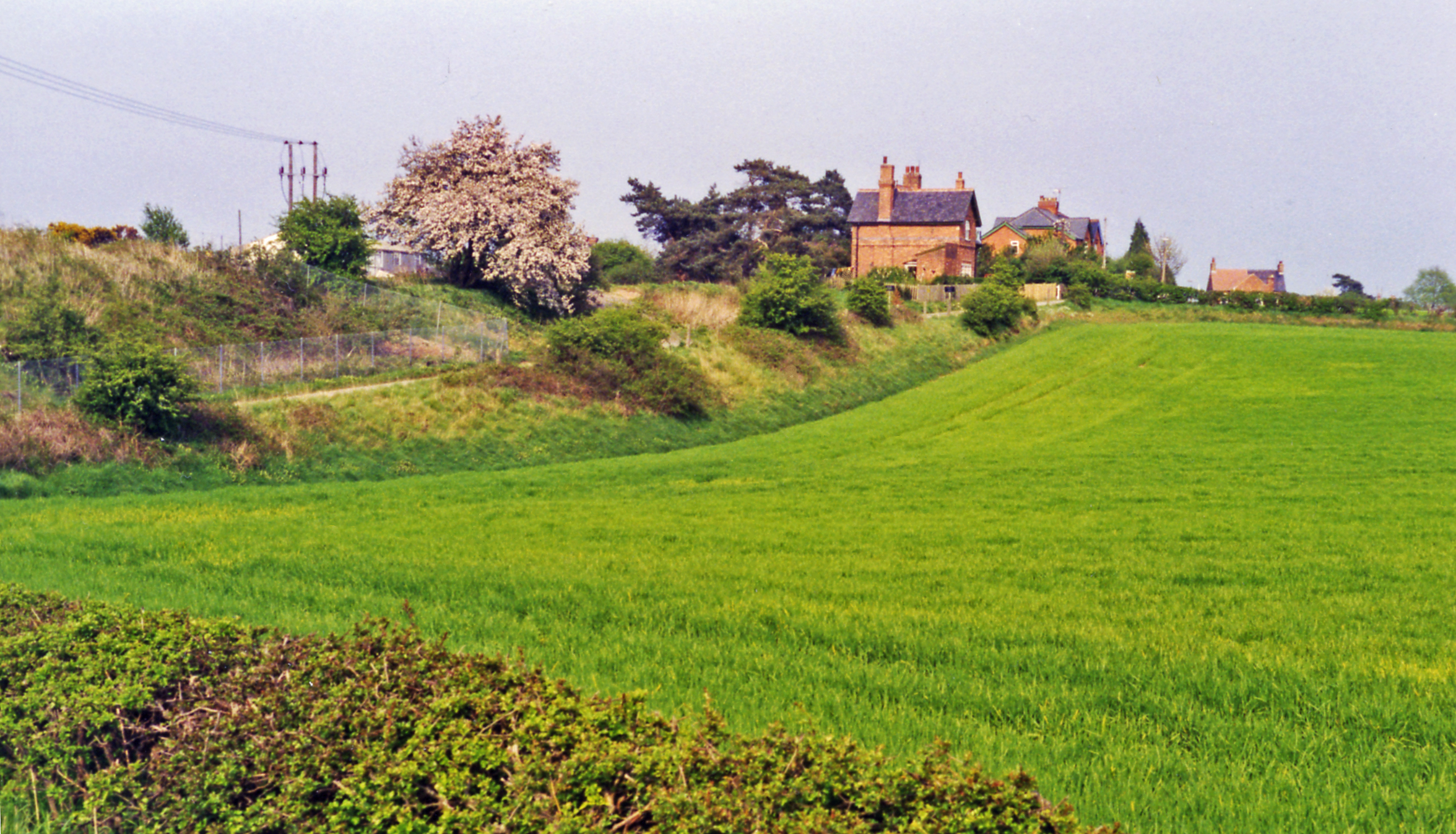
Kings Clipstone Images

Images are sourced within 2km of 53.176877/-1.1012808 or Grid Reference SK6064. Thanks to Geograph Open Source API. All images are credited.

Abandoned road near Culloden, Sherwood Forest Park
Track at King's Clipstone
The Dog and Duck in Kings Clipstone Pub, restaurant and gelateria at the eastern end of the village.
The Dog and Duck in Kings Clipstone
Pub, restaurant and gelateria at the eastern end of the village.
Railway Embankment and Flood Dyke in Kings Clipstone This is the course of the Lancashire, Derbyshire and East Coast Railway (LD&ECR), also enticingly known as the Dukeries Line back in its day, although it was coal not tourism which probably prolonged the lifespan of this particular route.
Railway Embankment and Flood Dyke in Kings Clipstone
This is the course of the Lancashire, Derbyshire and East Coast Railway (LD&ECR), also enticingly known as the Dukeries Line back in its day, although it was coal not tourism which probably prolonged the lifespan of this particular route.
The Robin Hood Way by the River Maun
The Robin Hood Way approaching Edwinstowe
Track and Gorse in Sherwood Forest Flowering, coconut-scented gorse on the track's edge in the Cipstone Old Quarter area of Sherwood Forest.
Track and Gorse in Sherwood Forest
Flowering, coconut-scented gorse on the track's edge in the Cipstone Old Quarter area of Sherwood Forest.
Close Up Detail of Archway House
Path along the course of an old railway This was the Mansfield Railway, opened in 1913 and initially operated by the Great Central Railway <span class="nowrap"><a title="https://en.wikipedia.org/wiki/Mansfield_Railway" rel="nofollow ugc noopener" href="https://en.wikipedia.org/wiki/Mansfield_Railway">Link</a><img style="margin-left:2px;" alt="External link" title="External link - shift click to open in new window" src="https://s1.geograph.org.uk/img/external.png" width="10" height="10"/></span>
Path along the course of an old railway
This was the Mansfield Railway, opened in 1913 and initially operated by the Great Central Railway LinkExternal link
Field boundary and view of the headstocks of the former Clipstone Colliery
Isolated barn
Isolated barn
Course of the former Mansfield Railway The Mansfield Railway opened in 1913 and was initially operated by the Great Central Railway <span class="nowrap"><a title="https://en.wikipedia.org/wiki/Mansfield_Railway" rel="nofollow ugc noopener" href="https://en.wikipedia.org/wiki/Mansfield_Railway">Link</a><img style="margin-left:2px;" alt="External link" title="External link - shift click to open in new window" src="https://s1.geograph.org.uk/img/external.png" width="10" height="10"/></span>
Course of the former Mansfield Railway
The Mansfield Railway opened in 1913 and was initially operated by the Great Central Railway LinkExternal link
Prepared fields near Lidgett Eastfield Cottage in the centre of the picture.
Prepared fields near Lidgett
Eastfield Cottage in the centre of the picture.
Grazing sheep near Clipstone
Stubble field near Clipstone
Stubble field and pylons
Bridleway to Kings Clipstone
Bridleway to Clipstone Drive The area on the right has been clear felled.
Bridleway to Clipstone Drive
The area on the right has been clear felled.
Show me another place!

Kings Clipstone is located at Grid Ref: SK6064 (Lat: 53.176877, Lng: -1.1012808)

Administrative County: Nottinghamshire

District: Newark and Sherwood

Police Authority: Nottinghamshire

What 3 Words

///reduction.narrates.inventors. Near King's Clipstone, Nottinghamshire

Related Wikis

Kings Clipstone

Kings Clipstone is a settlement and civil parish, in the Newark and Sherwood district, in the county of Nottinghamshire, England. The parish lies in the...

King John's Palace

King John's Palace is the remains of a former medieval royal residence in Clipstone, north-west Nottinghamshire. The name "King John's Palace" has been...

Clipstone

Clipstone in north Nottinghamshire is a small ex-coal mining village built on the site of an old army base and close to the site of a medieval royal palace...
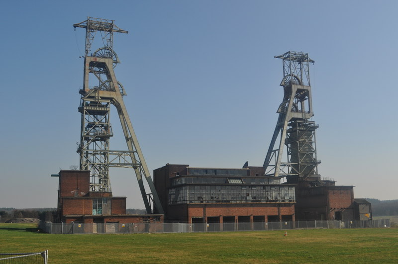
Clipstone Colliery

Clipstone Colliery was a coal mine in the village of Clipstone, Nottinghamshire, part of the area known as The Dukeries. The colliery opened in 1922 and...

Sherwood Forest Railway

The Sherwood Forest Railway (SFR) is a 15 in (381 mm) gauge light railway running through the old site of the Sherwood Forest Farm Park in Nottinghamshire...

The Rufford School

Rufford Comprehensive School (later just The Rufford School) was a secondary school in the village of Edwinstowe in Nottinghamshire, England which opened...

Clipstone F.C.

Clipstone Football Club is a football club based in Clipstone, Nottinghamshire, England. They are currently members of the United Counties League Division...

Edwinstowe railway station

Edwinstowe railway station is a former railway station in Edwinstowe, Nottinghamshire, England. == History == The station was opened by the Lancashire...

Related Videos

Our First Family Holiday In Four Years! | Forest Holidays: Sherwood Forest

Subscribe http://bit.ly/subKevinChapman Join http://bit.ly/JoinKevinChapman First time here?

Walking around Sherwood Forest

In todays Vlog we are in Sherwood Forest! Wandering around and getting lost! It's a fun time for all the family. But mostly just me ...

VW Campervan weekend @ Sherwood Forest Holiday park with Rubber Dingy Rapids Bro

VW campervan weekend at the beautiful Sherwood Forest Holiday Park with stunning views of the local wildlife. We enjoyed a ...

SHERWOOD FOREST - A WALKING TOUR

SHERWOOD FOREST - A WALKING TOUR Join PJ and Travis as we embark on an enchanting walking tour through the ...

Nearby Amenities

Located within 500m of 53.176877,-1.1012808
Kings Clipstone
Place: village
Lat/Long: 53.1768313/-1.1003007
Traffic Signals
Traffic Signals Direction: forward
Lat/Long: 53.1783282/-1.0949483
Bus Stop
Archway Road
Bus: yes
Naptan AtcoCode: 3300NS0447
Naptan Bearing: W
Naptan CommonName: Archway Road
Naptan Crossing: Archway Road
Naptan Indicator: opp
Naptan NaptanCode: ntsdpajm
Naptan Notes: none
Naptan Street: Mansfield Road
Naptan Verified: no
Public Transport: platform
Source: naptan_import
Lat/Long: 53.178208/-1.0955971
Bus Stop
Squires Lane
Bus: yes
Naptan AtcoCode: 3300NS0463
Naptan Bearing: NE
Naptan CommonName: Squires Lane
Naptan Crossing: Squires Lane
Naptan Indicator: adj
Naptan NaptanCode: ntsagtda
Naptan Notes: none
Naptan Street: Mansfield Road
Naptan Verified: no
Public Transport: platform
Source: naptan_import
Lat/Long: 53.177119/-1.0997195
Bus Stop
Squires Lane
Bus: yes
Naptan AtcoCode: 3300NS0465
Naptan Bearing: SW
Naptan CommonName: Squires Lane
Naptan Crossing: Squires Lane
Naptan Indicator: opp
Naptan NaptanCode: ntsagtdj
Naptan Notes: none
Naptan Street: Mansfield Road
Naptan Verified: no
Public Transport: platform
Source: naptan_import
Lat/Long: 53.1770955/-1.0995106
Bus Stop
Archway Road
Bus: yes
Naptan AtcoCode: 3300NS0474
Naptan Bearing: E
Naptan CommonName: Archway Road
Naptan Crossing: Archway Road
Naptan Indicator: adj
Naptan NaptanCode: ntsdgwgm
Naptan Notes: none
Naptan Street: Mansfield Road
Naptan Verified: no
Public Transport: platform
Source: naptan_import
Lat/Long: 53.1783447/-1.0942024
Parking
Ele: 69.0000000
Lat/Long: 53.1740641/-1.1022237
Turning Circle
Lat/Long: 53.1770041/-1.1032894
Post Box
Ref: NG21 97
Lat/Long: 53.1772579/-1.099111
King John's Palace
Historic: ruins
Historic Civilization: middle-ages
Source: Bing;local knowledge
Wikidata: Q6411770
Lat/Long: 53.1766369/-1.0987136
Kings Clipstone Brewery
Craft: brewery
Lat/Long: 53.1775591/-1.097585
Sherwood Lodge
Guest House: bed_and_breakfast
Source: View from road;Bing
Tourism: guest_house
Lat/Long: 53.1778876/-1.0965515
Description: Portland Flood Meadows
Information: board
Tourism: information
Lat/Long: 53.1771348/-1.0947673
Power: pole
Lat/Long: 53.1768586/-1.0940731
Power: pole
Lat/Long: 53.1762638/-1.0942608
Power: pole
Lat/Long: 53.1753828/-1.09458
Power: pole
Lat/Long: 53.1745468/-1.0949716
Power: pole
Lat/Long: 53.1737687/-1.0965702
Generator Method: photovoltaic
Generator Output Electricity: yes
Generator Source: solar
Generator Type: solar_photovoltaic_panel
Location: roof
Power: generator
Lat/Long: 53.1767718/-1.1064957
Generator Method: photovoltaic
Generator Output Electricity: yes
Generator Source: solar
Generator Type: solar_photovoltaic_panel
Location: roof
Power: generator
Lat/Long: 53.1764016/-1.1027406
Generator Method: photovoltaic
Generator Output Electricity: yes
Generator Source: solar
Generator Type: solar_photovoltaic_panel
Location: roof
Power: generator
Lat/Long: 53.1765302/-1.1024107
Generator Method: photovoltaic
Generator Output Electricity: yes
Generator Source: solar
Generator Type: solar_photovoltaic_panel
Location: roof
Power: generator
Lat/Long: 53.176019/-1.1015685
Generator Method: photovoltaic
Generator Output Electricity: yes
Generator Source: solar
Generator Type: solar_photovoltaic_panel
Location: roof
Power: generator
Lat/Long: 53.1760551/-1.1010562
Traffic Signals
Traffic Signals Direction: backward
Lat/Long: 53.1784091/-1.0947322
Traffic Signals
Traffic Signals Direction: forward
Lat/Long: 53.1782588/-1.0946269
The data included in this document is from www.openstreetmap.org. The data is made available under ODbL.

Have you been to Kings Clipstone?

Leave your review of Kings Clipstone below (or comments, questions and feedback).