Old Clipstone

Settlement in Nottinghamshire Newark and Sherwood

England

Old Clipstone

Abandoned road near Culloden, Sherwood Forest Park
Abandoned road near Culloden, Sherwood Forest Park Credit: Jonathan Thacker

Old Clipstone is a small village located in the county of Nottinghamshire, England. Situated approximately four miles to the north of Mansfield, Old Clipstone forms part of the larger Clipstone civil parish. The village has a rich history that dates back to medieval times.

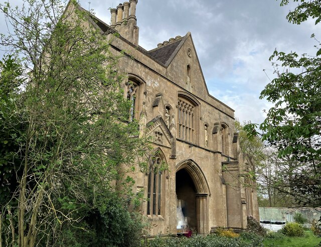
One of the most notable features of Old Clipstone is the ruins of Clipstone Castle, which was once a royal hunting lodge. The castle was built in the 12th century and played a significant role in the forest law enforcement during the medieval period. Today, only the remains of the castle's walls and some underground chambers can be seen, but it still stands as a reminder of the village's past.

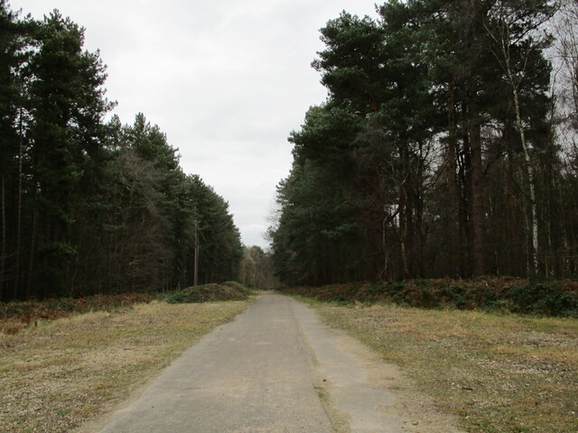
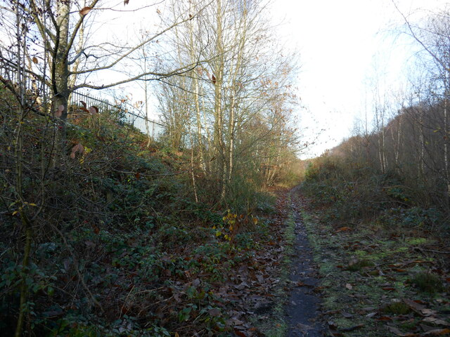
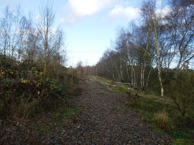
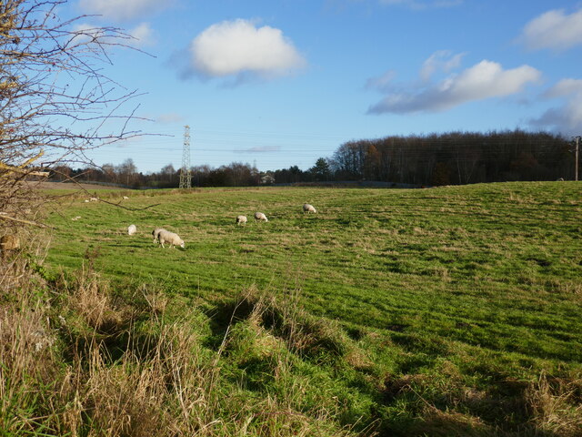
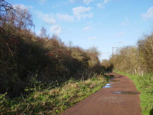
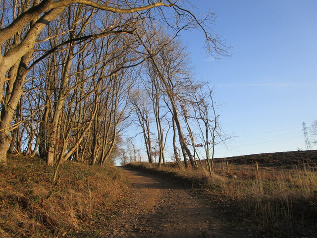
Old Clipstone is surrounded by the beautiful Sherwood Forest, known for its association with the legendary Robin Hood. The forest covers a vast area and offers picturesque walking trails, perfect for nature enthusiasts. Additionally, the nearby Sherwood Pines Forest Park provides recreational activities such as cycling and adventure trails.

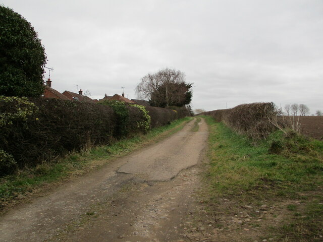
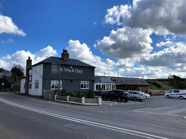
The village itself is a quiet and residential area, with a small population. It has a local pub, a village hall, and a primary school. The nearby town of Mansfield provides additional amenities and services for the residents of Old Clipstone.

Overall, Old Clipstone is a charming village that combines historical significance with natural beauty. It offers a peaceful and scenic setting for those seeking a quieter way of life, while still providing easy access to nearby towns and amenities.

If you have any feedback on the listing, please let us know in the comments section below.

Old Clipstone Images

Images are sourced within 2km of 53.169742/-1.1038982 or Grid Reference SK6064. Thanks to Geograph Open Source API. All images are credited.

Abandoned road near Culloden, Sherwood Forest Park
Track at King's Clipstone
The Dog and Duck in Kings Clipstone Pub, restaurant and gelateria at the eastern end of the village.
The Dog and Duck in Kings Clipstone
Pub, restaurant and gelateria at the eastern end of the village.
Railway Embankment and Flood Dyke in Kings Clipstone This is the course of the Lancashire, Derbyshire and East Coast Railway (LD&ECR), also enticingly known as the Dukeries Line back in its day, although it was coal not tourism which probably prolonged the lifespan of this particular route.
Railway Embankment and Flood Dyke in Kings Clipstone
This is the course of the Lancashire, Derbyshire and East Coast Railway (LD&ECR), also enticingly known as the Dukeries Line back in its day, although it was coal not tourism which probably prolonged the lifespan of this particular route.
Close Up Detail of Archway House
Path along the course of an old railway This was the Mansfield Railway, opened in 1913 and initially operated by the Great Central Railway <span class="nowrap"><a title="https://en.wikipedia.org/wiki/Mansfield_Railway" rel="nofollow ugc noopener" href="https://en.wikipedia.org/wiki/Mansfield_Railway">Link</a><img style="margin-left:2px;" alt="External link" title="External link - shift click to open in new window" src="https://s1.geograph.org.uk/img/external.png" width="10" height="10"/></span>
Path along the course of an old railway
This was the Mansfield Railway, opened in 1913 and initially operated by the Great Central Railway LinkExternal link
Field boundary and view of the headstocks of the former Clipstone Colliery
Isolated barn
Isolated barn
Course of the former Mansfield Railway The Mansfield Railway opened in 1913 and was initially operated by the Great Central Railway <span class="nowrap"><a title="https://en.wikipedia.org/wiki/Mansfield_Railway" rel="nofollow ugc noopener" href="https://en.wikipedia.org/wiki/Mansfield_Railway">Link</a><img style="margin-left:2px;" alt="External link" title="External link - shift click to open in new window" src="https://s1.geograph.org.uk/img/external.png" width="10" height="10"/></span>
Course of the former Mansfield Railway
The Mansfield Railway opened in 1913 and was initially operated by the Great Central Railway LinkExternal link
Grazing sheep near Clipstone
Stubble field near Clipstone
Stubble field and pylons
Bridleway to Kings Clipstone
Signposted cycle route. Sherwood Pines Forest Park
Felled area, Sherwood Pines Forest Park
Track in Sherwood Pines Forest Park
Bridleway to Clipstone Drive The area on the right has been clear felled.
Bridleway to Clipstone Drive
The area on the right has been clear felled.
Clipstone Drive
Clipstone Drive
Show me another place!

Old Clipstone is located at Grid Ref: SK6064 (Lat: 53.169742, Lng: -1.1038982)

Administrative County: Nottinghamshire

District: Newark and Sherwood

Police Authority: Nottinghamshire

What 3 Words

///loud.scrolled.rests. Near King's Clipstone, Nottinghamshire

Related Wikis

Clipstone

Clipstone in north Nottinghamshire is a small ex-coal mining village built on the site of an old army base and close to the site of a medieval royal palace...

Kings Clipstone

Kings Clipstone is a settlement and civil parish, in the Newark and Sherwood district, in the county of Nottinghamshire, England. The parish lies in the...

King John's Palace

King John's Palace is the remains of a former medieval royal residence in Clipstone, north-west Nottinghamshire. The name "King John's Palace" has been...
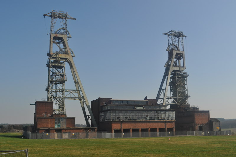
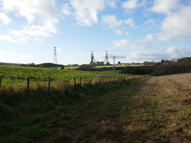
Clipstone Colliery

Clipstone Colliery was a coal mine in the village of Clipstone, Nottinghamshire, part of the area known as The Dukeries. The colliery opened in 1922 and...

Clipstone railway station

Clipstone Colliery Sidings railway station was a station in Clipstone, Nottinghamshire.While primarily a goods station, there was an unadvertised halt...

Sherwood Forest Railway

The Sherwood Forest Railway (SFR) is a 15 in (381 mm) gauge light railway running through the old site of the Sherwood Forest Farm Park in Nottinghamshire...

Clipstone F.C.

Clipstone Football Club is a football club based in Clipstone, Nottinghamshire, England. They are currently members of the United Counties League Division...

The Garibaldi School

The Garibaldi School (formerly Garibaldi College) is a co-educational secondary school and sixth form built in the 1960s. It is situated near to the edge...

Nearby Amenities

Located within 500m of 53.169742,-1.1038982
Power: tower
Source: OS_OpenData_StreetView
Lat/Long: 53.168608/-1.1110524
Power: tower
Source: OS_OpenData_StreetView
Lat/Long: 53.1677331/-1.1068175
Parking
Ele: 69.0000000
Lat/Long: 53.1740641/-1.1022237
Fixme: transition to cable?
Power: tower
Lat/Long: 53.1665687/-1.1024696
Power: tower
Lat/Long: 53.1668672/-1.1025435
Power: transformer
Lat/Long: 53.1666493/-1.1030665
Power: transformer
Lat/Long: 53.1668004/-1.1029471
Man Made: tower
Tower Type: communication
Lat/Long: 53.1657287/-1.103733
Power: pole
Lat/Long: 53.1713828/-1.0978442
Power: pole
Lat/Long: 53.1698972/-1.098657
Power: pole
Lat/Long: 53.168709/-1.1001992
Power: pole
Lat/Long: 53.1677531/-1.1009596
Power: pole
Lat/Long: 53.1667675/-1.1017536
Power: pole
Lat/Long: 53.165908/-1.1024496
Turning Circle
Lat/Long: 53.1726665/-1.0982465
The data included in this document is from www.openstreetmap.org. The data is made available under ODbL.

Have you been to Old Clipstone?

Leave your review of Old Clipstone below (or comments, questions and feedback).