King Barrow

Heritage Site in Dorset

England

King Barrow

Sandy path near Studland beach A sandy path passing beach huts overlooking Studland beach, photographed on a dull and murky day in August 2021.  This area is owned and managed by the National Trust.
Sandy path near Studland beach Credit: Malc McDonald

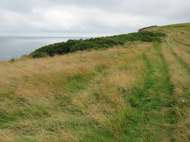
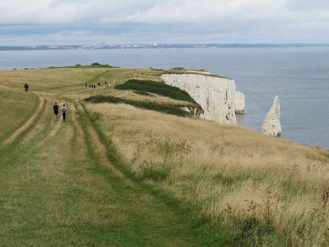
King Barrow, located in Dorset, England, is a significant heritage site that holds historical and archaeological importance. Dating back to the Neolithic period, King Barrow is a burial mound that is believed to have been constructed around 4000 BCE. The site is situated in the picturesque countryside, surrounded by rolling hills and lush greenery.

The barrow is an impressive earthen mound, standing at approximately 4 meters in height and 50 meters in diameter. It is constructed using chalk and earth, which has weathered over the centuries, giving it a distinctive appearance. The shape of the mound is circular, with a flat top and gently sloping sides.

Within the mound, numerous archaeological excavations have revealed the presence of a burial chamber, which was once used for communal burials. The remains of several individuals, along with various grave goods, such as pottery, flint tools, and jewelry, have been discovered within the chamber. These findings provide valuable insights into the burial practices and cultural traditions of the Neolithic people who inhabited the area.

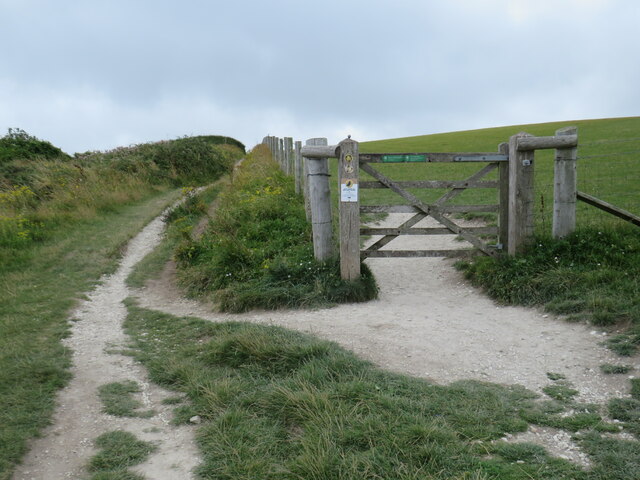
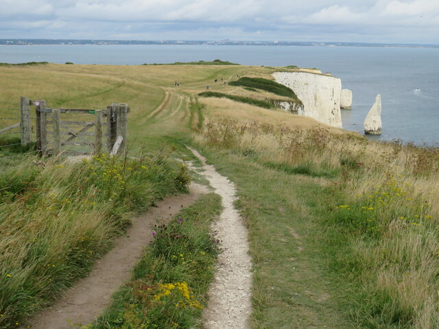
King Barrow is now protected as a Scheduled Monument, ensuring its preservation for future generations. The site attracts visitors from all over who are interested in exploring the rich history and heritage of the region. Interpretive panels and information boards are placed around the site, providing visitors with detailed information about the barrow's significance and history.

In summary, King Barrow in Dorset is a Neolithic burial mound that offers a glimpse into the ancient past. With its impressive size and archaeological finds, it stands as a testament to the cultural and historical significance of the region.

If you have any feedback on the listing, please let us know in the comments section below.
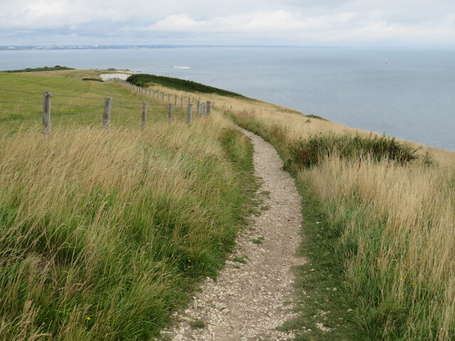
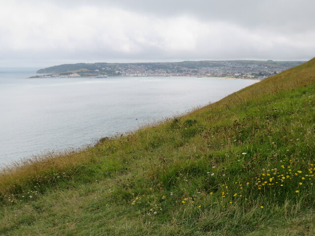
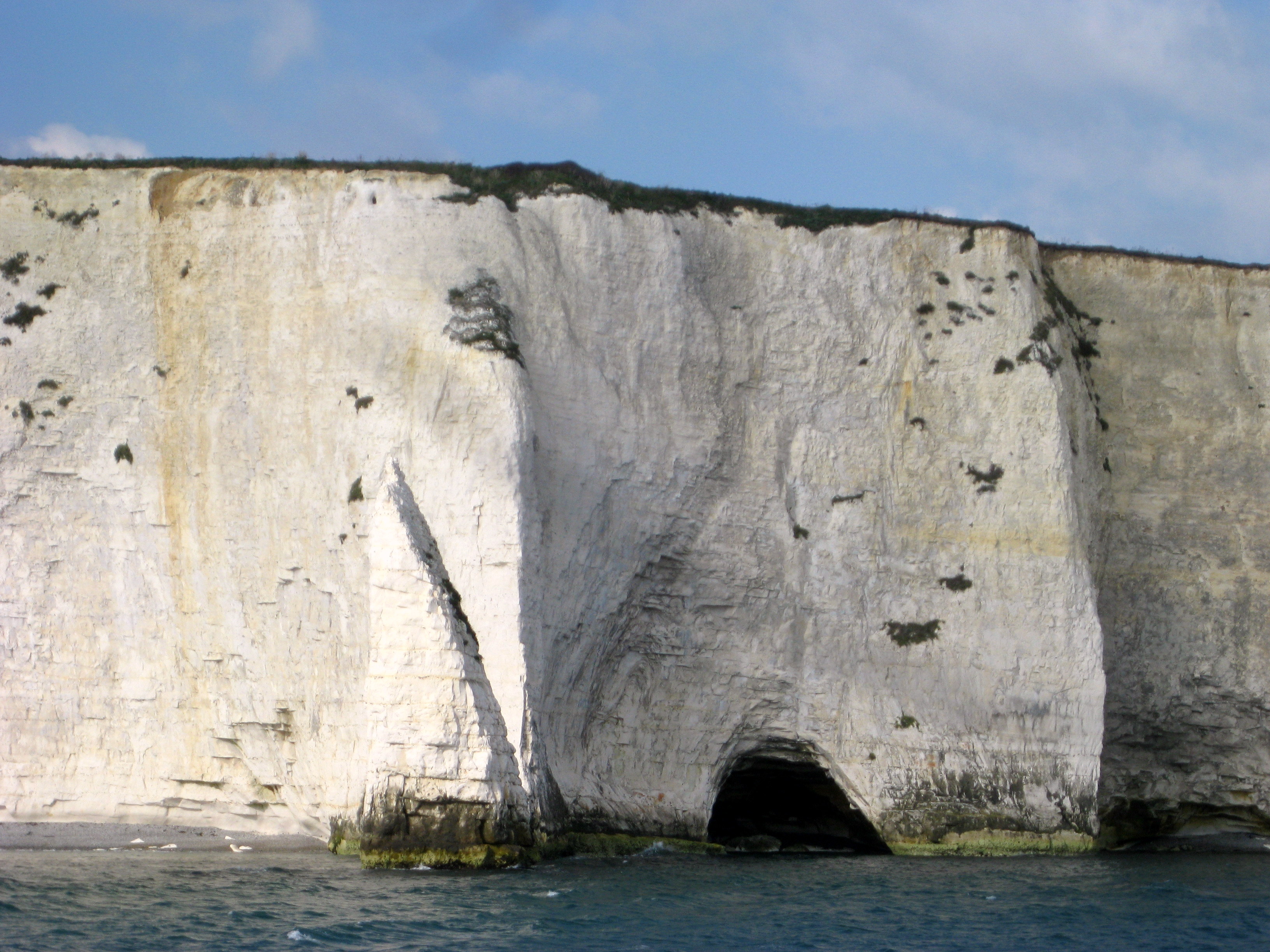
King Barrow Images

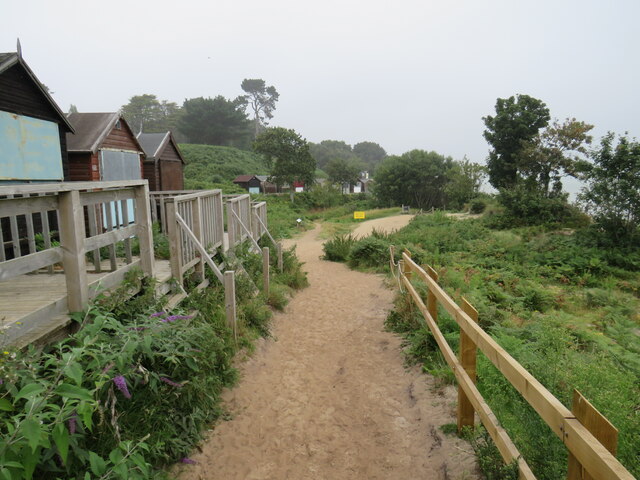
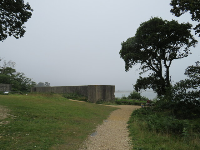
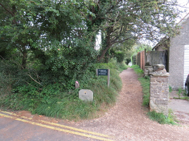
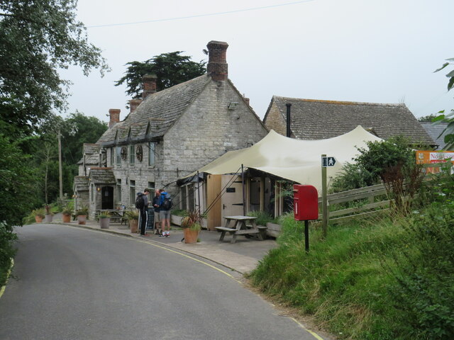
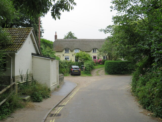
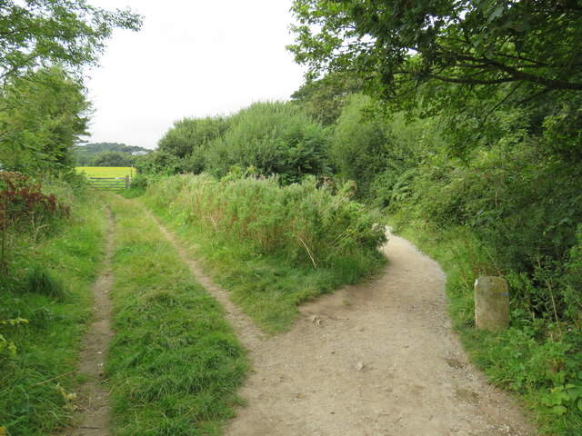
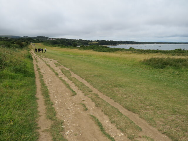
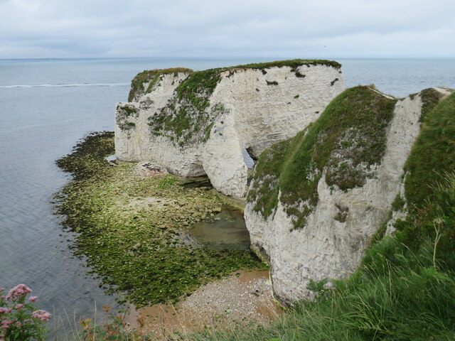
Images are sourced within 2km of 50.633/-1.937 or Grid Reference SZ0481. Thanks to Geograph Open Source API. All images are credited.

Sandy path near Studland beach A sandy path passing beach huts overlooking Studland beach, photographed on a dull and murky day in August 2021.  This area is owned and managed by the National Trust.
Sandy path near Studland beach
A sandy path passing beach huts overlooking Studland beach, photographed on a dull and murky day in August 2021. This area is owned and managed by the National Trust.
Fort Henry, Studland, near Swanage Fort Henry is an observation bunker overlooking Poole Bay.  It was built during the Second World War.  Although it is sometimes claimed it was built to assist in defending Britain's coastline against enemy invasion, that is not so.  The bunker was built to observe practice landings in preparation for D-Day.

This image was taken on a dull and murky day in August 2021, with poor visibility.
Fort Henry, Studland, near Swanage
Fort Henry is an observation bunker overlooking Poole Bay. It was built during the Second World War. Although it is sometimes claimed it was built to assist in defending Britain's coastline against enemy invasion, that is not so. The bunker was built to observe practice landings in preparation for D-Day. This image was taken on a dull and murky day in August 2021, with poor visibility.
South West Coast Path at Studland This path in the village of Studland forms part of the South West Coast Path.
South West Coast Path at Studland
This path in the village of Studland forms part of the South West Coast Path.
Bankes Arms, Studland The Bankes Arms pub, in the village of Studland.  The pub is believed to date from the 16th Century.

The South West Coast Path follows the lane past the pub.
Bankes Arms, Studland
The Bankes Arms pub, in the village of Studland. The pub is believed to date from the 16th Century. The South West Coast Path follows the lane past the pub.
Manor Road, Studland Manor Road is a lane in the village of Studland, in Dorset.  It is on the route of the South West Coast Path.

The building to the left of the image is a public toilet.
Manor Road, Studland
Manor Road is a lane in the village of Studland, in Dorset. It is on the route of the South West Coast Path. The building to the left of the image is a public toilet.
South West Coast Path near Studland The South West Coast Path near the village of Studland, in Dorset.  A marker stone stands to the right of the path.
South West Coast Path near Studland
The South West Coast Path near the village of Studland, in Dorset. A marker stone stands to the right of the path.
South West Coast Path near Studland A view of the South West Coast Path, with Studland Bay visible to the right.
South West Coast Path near Studland
A view of the South West Coast Path, with Studland Bay visible to the right.
Old Harry Rocks, near Swanage Old Harry Rocks are sea stacks off Handfast Point (The Foreland), north of Swanage. They are formed of chalk and are classic features of coastal erosion. The rocks are under constant attack from the sea and Harry has already lost a "wife".
Old Harry Rocks, near Swanage
Old Harry Rocks are sea stacks off Handfast Point (The Foreland), north of Swanage. They are formed of chalk and are classic features of coastal erosion. The rocks are under constant attack from the sea and Harry has already lost a "wife".
Old Harry Rocks, near Swanage A National Trust sign at Old Harry Rocks, indicating that the National Trust owns and manages the land here.
Old Harry Rocks, near Swanage
A National Trust sign at Old Harry Rocks, indicating that the National Trust owns and manages the land here.
Old Harry Rocks, near Swanage A view of Old Harry Rocks and Poole Bay, taken on a dull and cloudy day in August 2021.
Old Harry Rocks, near Swanage
A view of Old Harry Rocks and Poole Bay, taken on a dull and cloudy day in August 2021.
Cliffs and stacks at The Foreland, near Swanage Cliffs and stacks on the Jurassic coastline close to Old Harry Rocks.
Cliffs and stacks at The Foreland, near Swanage
Cliffs and stacks on the Jurassic coastline close to Old Harry Rocks.
South West Coast Path at The Foreland, near Swanage A view of the South West Coast Path as it approaches Old Harry Rocks, on the Jurassic coastline near Swanage.
South West Coast Path at The Foreland, near Swanage
A view of the South West Coast Path as it approaches Old Harry Rocks, on the Jurassic coastline near Swanage.
South West Coast Path at The Foreland, near Swanage A view of the South West Coast Path on The Foreland, on the Isle of Purbeck.
South West Coast Path at The Foreland, near Swanage
A view of the South West Coast Path on The Foreland, on the Isle of Purbeck.
South West Coast Path near Swanage The South West Coast Path heading towards Old Harry Rocks, on the Isle of Purbeck.  Visible in this image are chalk cliffs and a sea stack, one of several here.  In the background is Poole Bay, looking towards Bournemouth.
South West Coast Path near Swanage
The South West Coast Path heading towards Old Harry Rocks, on the Isle of Purbeck. Visible in this image are chalk cliffs and a sea stack, one of several here. In the background is Poole Bay, looking towards Bournemouth.
South West Coast Path near Swanage The South West Coast Path, near Ballard Point on the Isle of Purbeck.  Another path branches off through the gate and across the field.
South West Coast Path near Swanage
The South West Coast Path, near Ballard Point on the Isle of Purbeck. Another path branches off through the gate and across the field.
South West Coast Path near Swanage A view of the South West Coast Path near Ballard Point, looking towards Old Harry Rocks and Poole Bay.  Visible to the right of the chalk cliffs are a couple of sea stacks.
South West Coast Path near Swanage
A view of the South West Coast Path near Ballard Point, looking towards Old Harry Rocks and Poole Bay. Visible to the right of the chalk cliffs are a couple of sea stacks.
South West Coast Path near Swanage A view of the South West Coast Path as it follows the clifftops near Ballard Point, on the Isle of Purbeck.
South West Coast Path near Swanage
A view of the South West Coast Path as it follows the clifftops near Ballard Point, on the Isle of Purbeck.
Clifftop at Ballard Point, near Swanage Grass on the clifftop at Ballard Point overlooking Swanage Bay and the town of Swanage.
Clifftop at Ballard Point, near Swanage
Grass on the clifftop at Ballard Point overlooking Swanage Bay and the town of Swanage.
Show me another place!

King Barrow is located at Grid Ref: SZ0481 (Lat: 50.633, Lng: -1.937)

Unitary Authority: Dorset

Police Authority: Dorset

What 3 Words

///twitching.mornings.index. Near Swanage, Dorset

Related Wikis

Ballard Cliff

Ballard Cliff is part of the Jurassic Coast near Swanage in the Isle of Purbeck in Dorset, England. The steeply dipping Cretaceous chalk that marks the...

The Pinnacles (Dorset)

The Pinnacles are two chalk formations, including a stack and a stump, located near Handfast Point, on the Isle of Purbeck in Dorset, southern England...

Parson's Barn

Parson's Barn is a large sea-level cavern below the Ballard Point cliffs, between Studland and Swanage bays in the English Channel. Ballard Point is the...

St Nicholas' Church, Studland

The Church of Saint Nicholas is a Church of England parish church in Studland, Dorset, England. It was built in the early 12th century on the foundations...

Related Videos

Hiking The South West Coast Path - Studland to Swanage

We take our sea safaris past all these sites so much but it's the first time I've ever walked it. It's shorter by water!

Walking the South West Coast Path near Old Harry Rocks, Studland and Swanage - July 2020

Circular walk along part of the South West Coast Path with Rio on a sunny July day.

Hiking the Dorset coastline Old Harry Rocks & Chapman's Pool to Winspit Quarry

Solo Hiking sunrise at Old Harry Rocks in Dorset and then a Solo Hike along the coastline from Chapman's pool to Winspit Quarry ...

Nearby Amenities

Located within 500m of 50.633,-1.937
Source: PGS
Lat/Long: 50.6297993/-1.9412175
Source: PGS
Lat/Long: 50.6299223/-1.9401706
Source: PGS
Lat/Long: 50.6301449/-1.9385331
Source: PGS
Lat/Long: 50.6303293/-1.9378747
Source: PGS
Lat/Long: 50.6305282/-1.9370163
Source: PGS
Lat/Long: 50.6306311/-1.9362004
Source: PGS
Lat/Long: 50.6307373/-1.9353115
Source: PGS
Lat/Long: 50.6308496/-1.9341002
Source: PGS
Lat/Long: 50.6308925/-1.9334066
Source: PGS
Lat/Long: 50.6319853/-1.9326332
Source: PGS
Lat/Long: 50.6330229/-1.9317935
Source: PGS
Lat/Long: 50.6332719/-1.9317796
Source: PGS
Lat/Long: 50.6336159/-1.9314835
Source: PGS
Lat/Long: 50.633866/-1.9313065
Source: PGS
Lat/Long: 50.6340957/-1.9311638
Source: PGS
Lat/Long: 50.6345111/-1.9309041
Source: PGS
Lat/Long: 50.6347248/-1.9306896
Man Made: survey_point
Lat/Long: 50.631694/-1.9389011
King Barrow
Historic: archaeological_site
Lat/Long: 50.6373645/-1.9359819
Ballard Point
Place: locality
Source: NLS - OS 1-inch 7th Series 1955-61
Wikidata: Q24656354
Lat/Long: 50.6312654/-1.9322958
Source: PGS
Lat/Long: 50.6321214/-1.9326753
The data included in this document is from www.openstreetmap.org. The data is made available under ODbL.

Have you been to King Barrow?

Leave your review of King Barrow below (or comments, questions and feedback).