King Arthur's Hall

Heritage Site in Cornwall

England

King Arthur's Hall

Old Boundary Marker on Emblance Downs, St Breward parish Boundary Marker on the open moorland of Emblance Downs clearly visible to the south of the minor road to Ivey and the De Lank water works. St Beward parish. Inscribed NEWMANS / CORNER. The function of this stone is not known, but it is shown on Ordnance Survey maps of 1880.

Milestone Society National ID: CW_BREWAR01bm
Old Boundary Marker on Emblance Downs, St Breward parish Credit: P G Moore

King Arthur's Hall is a historic site located in Cornwall, England, that holds immense cultural and historical significance. Situated near the village of Slaughterbridge, the site is believed to be the legendary birthplace of King Arthur, a prominent figure in medieval folklore and literature.

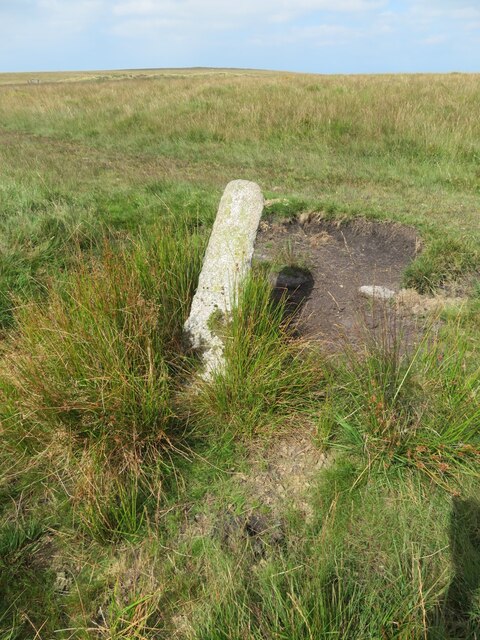
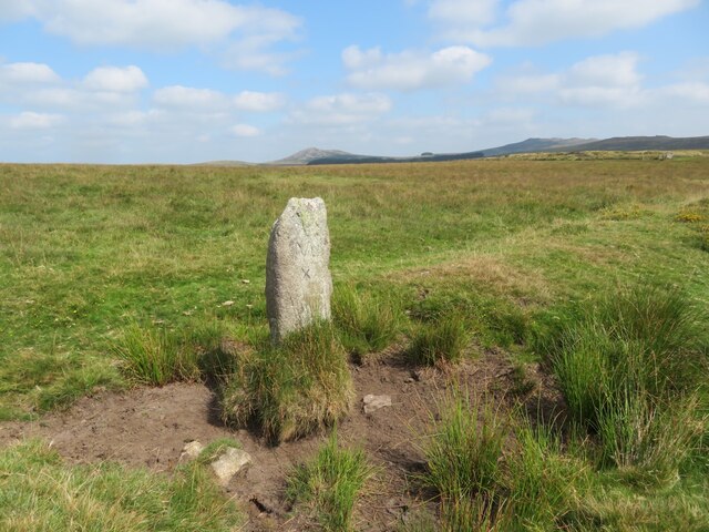
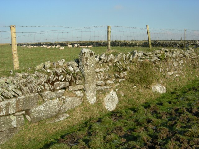
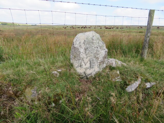
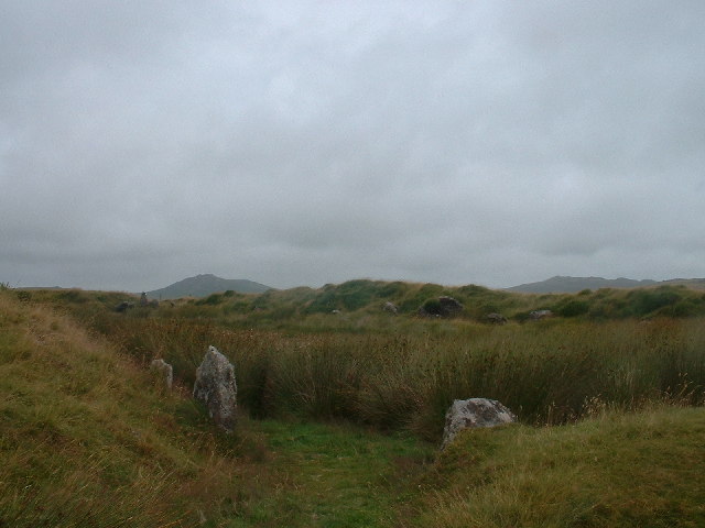
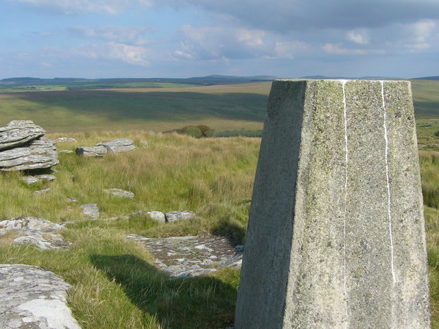
The main feature of King Arthur's Hall is a large rectangular enclosure measuring approximately 90 meters in length and 40 meters in width. It consists of a central courtyard surrounded by a series of low stone walls. The walls are made of local granite and are believed to date back to the medieval period.

The site gets its name from a local legend that claims it was once the meeting place of King Arthur and his knights of the Round Table. According to the myth, this hall was where Arthur was crowned and where important decisions were made by the king and his council.

Although there is no concrete historical evidence to support the legend, the site's association with King Arthur has attracted countless visitors over the years. It has become a popular destination for those interested in British folklore and the Arthurian legends.

King Arthur's Hall is now a protected heritage site, managed by English Heritage. Visitors can explore the site and its surroundings, taking in the breathtaking views of the Cornish countryside. Interpretative panels are available to provide information about the history and legends associated with the site.

Overall, King Arthur's Hall captivates visitors with its mythical allure and historical significance, making it a must-visit destination for those interested in the legends of King Arthur and the rich history of Cornwall.

If you have any feedback on the listing, please let us know in the comments section below.

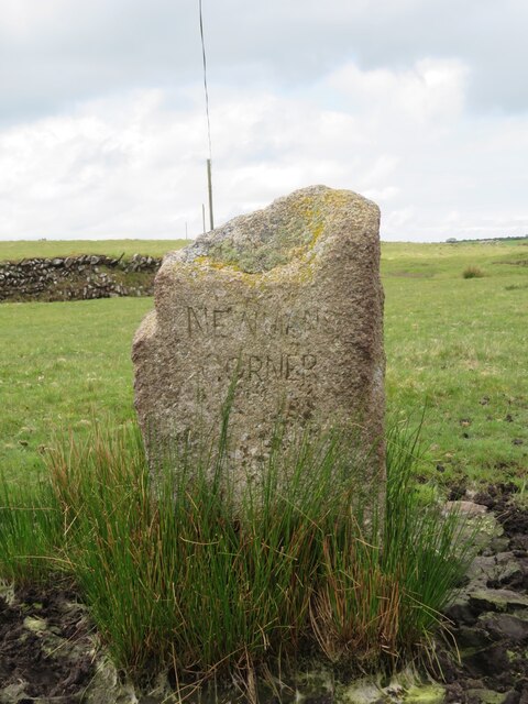
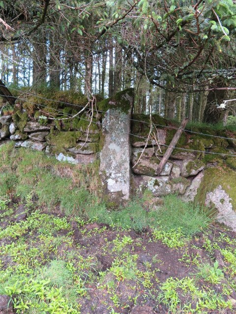
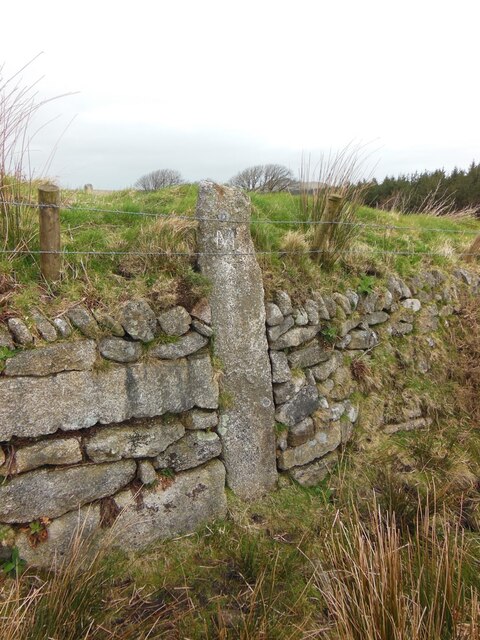
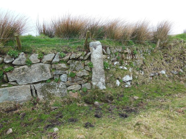
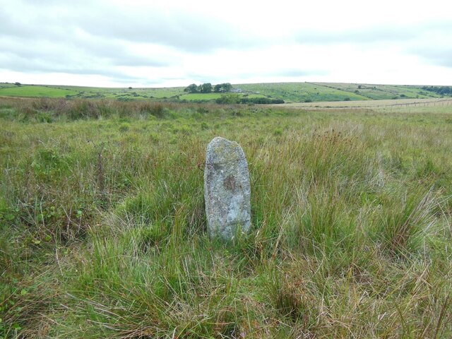
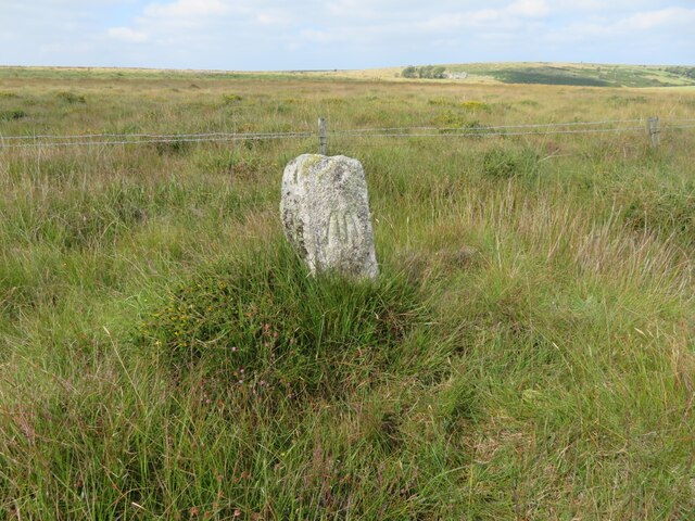
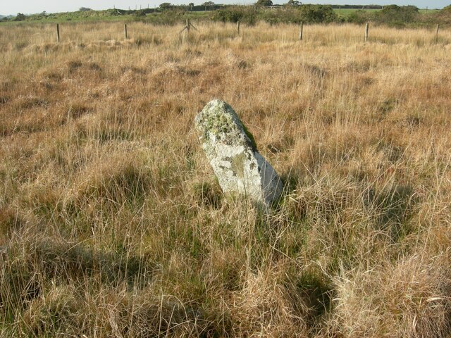
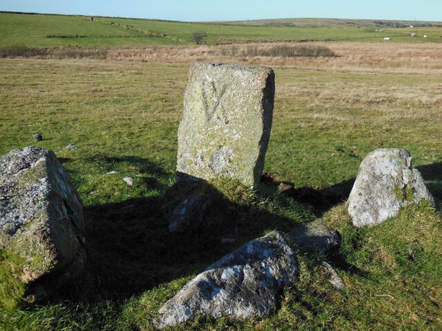
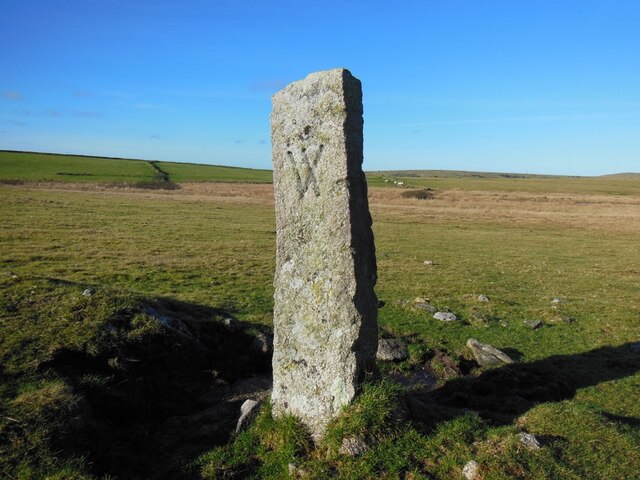
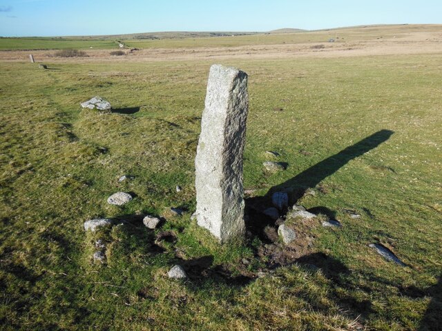
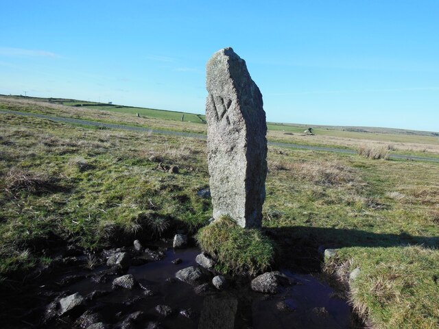
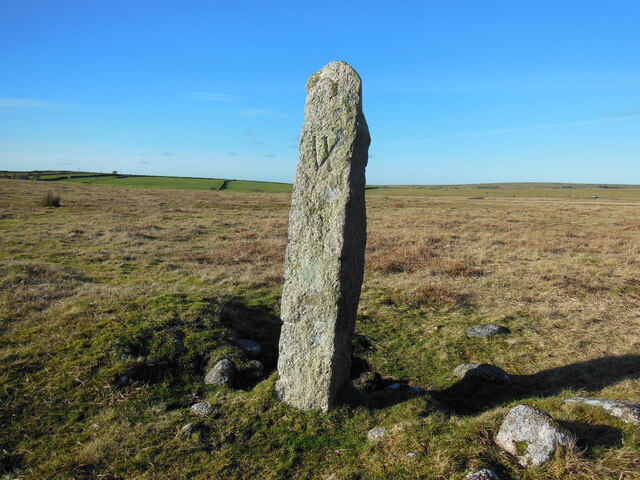
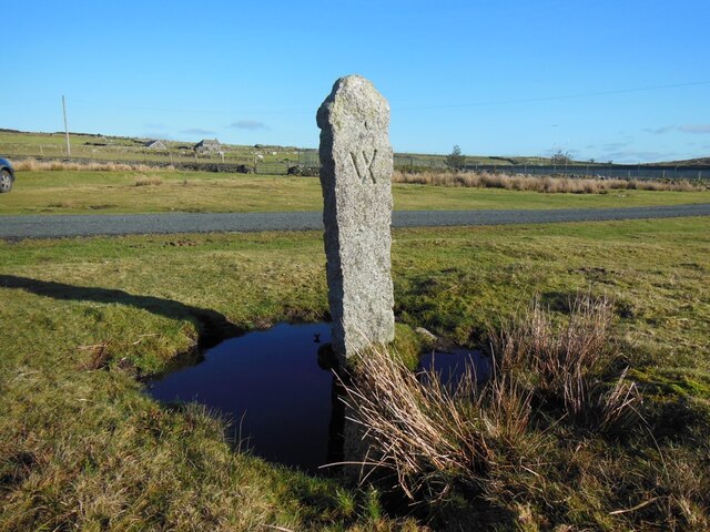
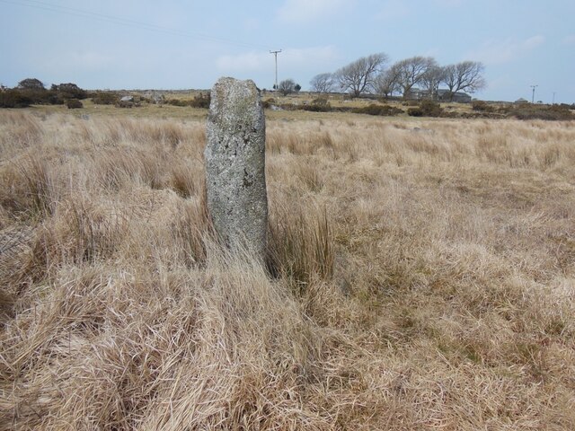
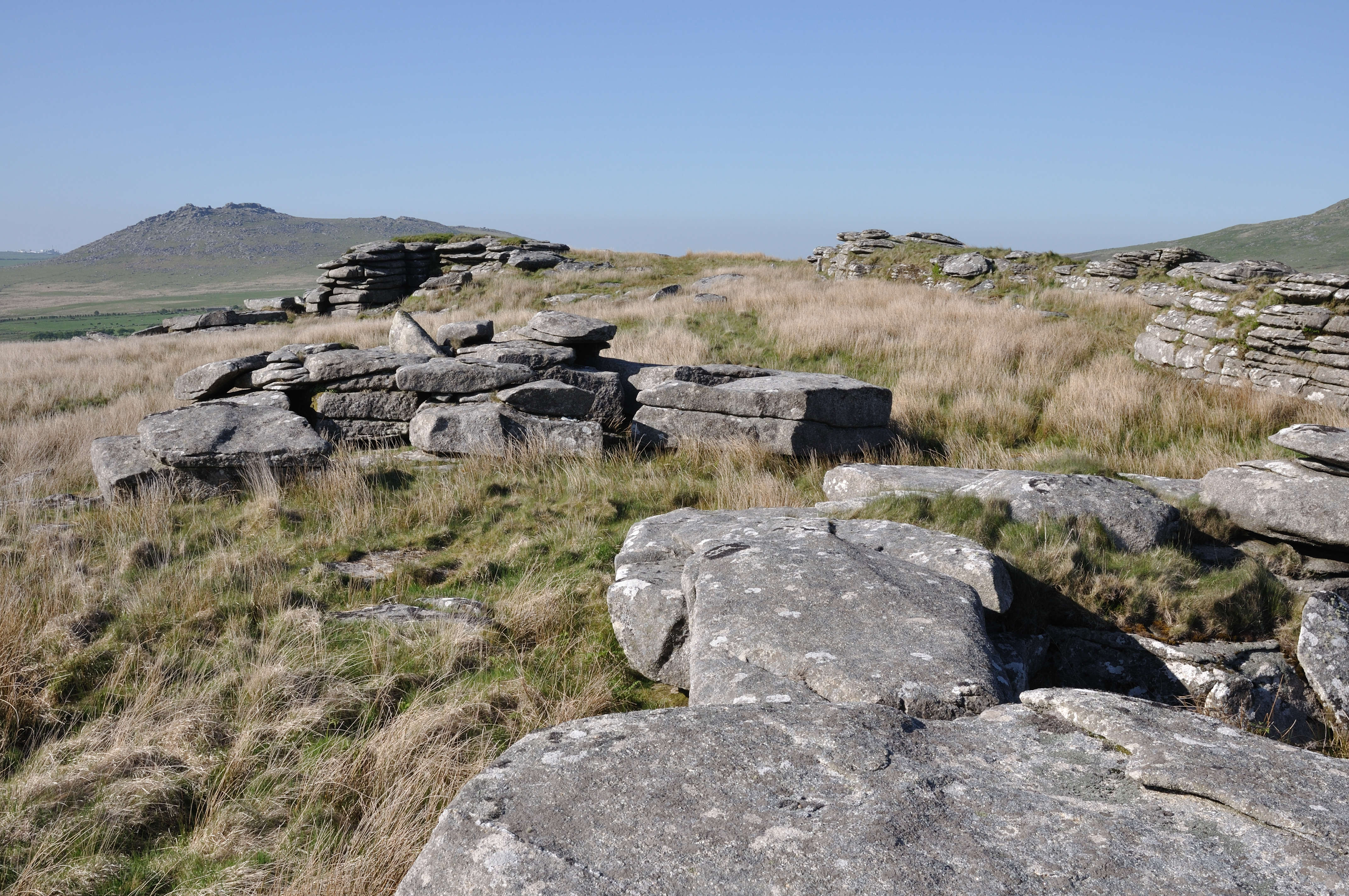
King Arthur's Hall Images

Images are sourced within 2km of 50.567/-4.648 or Grid Reference SX1277. Thanks to Geograph Open Source API. All images are credited.

Old Boundary Marker on Emblance Downs, St Breward parish Boundary Marker on the open moorland of Emblance Downs clearly visible to the south of the minor road to Ivey and the De Lank water works. St Beward parish. Inscribed NEWMANS / CORNER. The function of this stone is not known, but it is shown on Ordnance Survey maps of 1880.

Milestone Society National ID: CW_BREWAR01bm
Old Boundary Marker on Emblance Downs, St Breward parish
Boundary Marker on the open moorland of Emblance Downs clearly visible to the south of the minor road to Ivey and the De Lank water works. St Beward parish. Inscribed NEWMANS / CORNER. The function of this stone is not known, but it is shown on Ordnance Survey maps of 1880. Milestone Society National ID: CW_BREWAR01bm
Old Boundary Marker on the boundary of King Arthur’s Downs and Emblance Downs, St Breward parish Estate Boundary Marker against the boundary wall of the enclosed land of Mount Pleasant Farm close to the valley adjoining Garrow Tor and Emblance Downs. St Beward parish. Inscribed M X.

One of a series of stones that mark the boundary of King Arthur’s Downs and Emblance Downs. King Arthur’s Downs was owned by the Manor of Hametethy, and Emblance Downs by the manor of Blisland. The Molesworth family owned the manor of Blisland and their mark MX can be found on the southern face of this stone. The letter X is smaller than the M and it is thought that it was a later addition to the stone.

Milestone Society National ID: CW_BREWAR02em
Old Boundary Marker on the boundary of King Arthur’s Downs and Emblance Downs, St Breward parish
Estate Boundary Marker against the boundary wall of the enclosed land of Mount Pleasant Farm close to the valley adjoining Garrow Tor and Emblance Downs. St Beward parish. Inscribed M X. One of a series of stones that mark the boundary of King Arthur’s Downs and Emblance Downs. King Arthur’s Downs was owned by the Manor of Hametethy, and Emblance Downs by the manor of Blisland. The Molesworth family owned the manor of Blisland and their mark MX can be found on the southern face of this stone. The letter X is smaller than the M and it is thought that it was a later addition to the stone. Milestone Society National ID: CW_BREWAR02em
Old Boundary Marker on the boundary of King Arthur’s Downs and Emblance Downs, St Breward parish Estate Boundary Marker against the boundary wall of the enclosed land of Mount Pleasant Farm 12 metres west of the gate to the farm. St Beward parish. Inscribed M X.

One of a series of stones that mark the boundary of King Arthur’s Downs and Emblance Downs. King Arthur’s Downs was owned by the manor of Hametethy, and Emblance Downs by the manor of Blisland. The Molesworth family owned the manor of Blisland and their mark M X can be found on the southern face of this stone. The letter X is smaller than the M and it is thought that it was a later addition to the stone.

Milestone Society National ID: CW_BREWAR03em
Old Boundary Marker on the boundary of King Arthur’s Downs and Emblance Downs, St Breward parish
Estate Boundary Marker against the boundary wall of the enclosed land of Mount Pleasant Farm 12 metres west of the gate to the farm. St Beward parish. Inscribed M X. One of a series of stones that mark the boundary of King Arthur’s Downs and Emblance Downs. King Arthur’s Downs was owned by the manor of Hametethy, and Emblance Downs by the manor of Blisland. The Molesworth family owned the manor of Blisland and their mark M X can be found on the southern face of this stone. The letter X is smaller than the M and it is thought that it was a later addition to the stone. Milestone Society National ID: CW_BREWAR03em
Old Boundary Marker on the boundary of King Arthur’s Downs and Emblance Downs, St Breward parish Estate Boundary Marker against the boundary wall of the enclosed land of Mount Pleasant Farm close to the western corner of the field. St Beward parish. Inscribed M X.

One of a series of stones that mark the boundary of King Arthur’s Downs and Emblance Downs. King Arthur’s Downs was owned by the manor of Hametethy, and Emblance Downs by the manor of Blisland. The Molesworth family owned the manor of Blisland and their mark M X can be found on the southern face of this stone. The letter X is smaller than the M and it is thought that it was a later addition to the stone
.

Milestone Society National ID: CW_BREWAR04em
Old Boundary Marker on the boundary of King Arthur’s Downs and Emblance Downs, St Breward parish
Estate Boundary Marker against the boundary wall of the enclosed land of Mount Pleasant Farm close to the western corner of the field. St Beward parish. Inscribed M X. One of a series of stones that mark the boundary of King Arthur’s Downs and Emblance Downs. King Arthur’s Downs was owned by the manor of Hametethy, and Emblance Downs by the manor of Blisland. The Molesworth family owned the manor of Blisland and their mark M X can be found on the southern face of this stone. The letter X is smaller than the M and it is thought that it was a later addition to the stone . Milestone Society National ID: CW_BREWAR04em
Old Boundary Marker on the boundary of King Arthur’s Downs and Emblance Downs, St Breward parish Estate Boundary Marker close to the remains of the medieval boundary bank that marked the boundary between the manors of Blisland and Hametethy on the open moorland of Emblance Downs 100 metres southeast of King Arthur’s Hall. St Beward parish. Inscribed M.

One of a series of stones that mark the boundary of King Arthur’s Downs and Emblance Downs. King Arthur’s Downs was owned by the manor of Hametethy, and Emblance Downs by the manor of Blisland. The Molesworth family owned the manor of Blisland and their mark M can be found on the southern face of this stone.

Milestone Society National ID: CW_BREWAR05em
Old Boundary Marker on the boundary of King Arthur’s Downs and Emblance Downs, St Breward parish
Estate Boundary Marker close to the remains of the medieval boundary bank that marked the boundary between the manors of Blisland and Hametethy on the open moorland of Emblance Downs 100 metres southeast of King Arthur’s Hall. St Beward parish. Inscribed M. One of a series of stones that mark the boundary of King Arthur’s Downs and Emblance Downs. King Arthur’s Downs was owned by the manor of Hametethy, and Emblance Downs by the manor of Blisland. The Molesworth family owned the manor of Blisland and their mark M can be found on the southern face of this stone. Milestone Society National ID: CW_BREWAR05em
Old Boundary Marker on the boundary of King Arthur’s Downs and Emblance Downs, St Breward parish Estate Boundary Marker on the remains of the medieval boundary bank that marked the boundary between the manors of Blisland and Hametethy on the open moorland of Emblance Downs 140 metres southwest of King Arthur’s Hall. St Beward parish. Inscribed M.

One of a series of stones that mark the boundary of King Arthur’s Downs and Emblance Downs. King Arthur’s Downs was owned by the manor of Hametethy, and Emblance Downs by the manor of Blisland. The Molesworth family owned the manor of Blisland and their mark M can be found on the southern face of this stone.

Milestone Society National ID: CW_BREWAR06em
Old Boundary Marker on the boundary of King Arthur’s Downs and Emblance Downs, St Breward parish
Estate Boundary Marker on the remains of the medieval boundary bank that marked the boundary between the manors of Blisland and Hametethy on the open moorland of Emblance Downs 140 metres southwest of King Arthur’s Hall. St Beward parish. Inscribed M. One of a series of stones that mark the boundary of King Arthur’s Downs and Emblance Downs. King Arthur’s Downs was owned by the manor of Hametethy, and Emblance Downs by the manor of Blisland. The Molesworth family owned the manor of Blisland and their mark M can be found on the southern face of this stone. Milestone Society National ID: CW_BREWAR06em
Old Boundary Marker on the boundary of King Arthur’s Downs and Emblance Downs, St Breward parish Estate Boundary Marker adjacent to the wall enclosing fields on the western edge of Emblance Downs 330 metres southwest of King Arthurs Hall. The wall appears to have been built on the continuation of the medieval boundary bank that marked the boundary between the manors of Blisland and Hametethy. St Beward parish. Inscribed M X.

One of a series of stones that mark the boundary of King Arthur’s Downs and Emblance Downs. King Arthur’s Downs was owned by the manor of Hametethy, and Emblance Downs by the manor of Blisland. The Molesworth family owned the manor of Blisland and their mark M X can be found on the southern face of this stone. The letter X is smaller than the M and it is thought that it was a later addition to the stone.

Milestone Society National ID: CW_BREWAR07em
Old Boundary Marker on the boundary of King Arthur’s Downs and Emblance Downs, St Breward parish
Estate Boundary Marker adjacent to the wall enclosing fields on the western edge of Emblance Downs 330 metres southwest of King Arthurs Hall. The wall appears to have been built on the continuation of the medieval boundary bank that marked the boundary between the manors of Blisland and Hametethy. St Beward parish. Inscribed M X. One of a series of stones that mark the boundary of King Arthur’s Downs and Emblance Downs. King Arthur’s Downs was owned by the manor of Hametethy, and Emblance Downs by the manor of Blisland. The Molesworth family owned the manor of Blisland and their mark M X can be found on the southern face of this stone. The letter X is smaller than the M and it is thought that it was a later addition to the stone. Milestone Society National ID: CW_BREWAR07em
Old Boundary Marker on the boundary of King Arthur’s Downs and Emblance Downs, St Breward parish Estate Boundary Marker protruding from the top of the wall enclosing fields on the western edge of Emblance Downs 550 metres southwest of King Arthurs Hall. The wall appears to have been built on the continuation of the medieval boundary bank that marked the boundary between the manors of Blisland and Hametethy. St Beward parish. Inscribed M X.

One of a series of stones that mark the boundary of King Arthur’s Downs and Emblance Downs. King Arthur’s Downs was owned by the manor of Hametethy, and Emblance Downs by the manor of Blisland. The Molesworth family owned the manor of Blisland and their mark M X can be found on the southern face of this stone.

Milestone Society National ID: CW_BREWAR08em
Old Boundary Marker on the boundary of King Arthur’s Downs and Emblance Downs, St Breward parish
Estate Boundary Marker protruding from the top of the wall enclosing fields on the western edge of Emblance Downs 550 metres southwest of King Arthurs Hall. The wall appears to have been built on the continuation of the medieval boundary bank that marked the boundary between the manors of Blisland and Hametethy. St Beward parish. Inscribed M X. One of a series of stones that mark the boundary of King Arthur’s Downs and Emblance Downs. King Arthur’s Downs was owned by the manor of Hametethy, and Emblance Downs by the manor of Blisland. The Molesworth family owned the manor of Blisland and their mark M X can be found on the southern face of this stone. Milestone Society National ID: CW_BREWAR08em
Old Boundary Marker on the boundary of King Arthur’s Downs and Emblance Downs, St Breward parish Estate Boundary Marker on marshy ground within the enclosed farmland on the continuation of the medieval boundary bank that marked the boundary between the manors of Blisland and Hametethy. St Beward parish. Inscribed M.

One of a series of stones that mark the boundary of King Arthur’s Downs and Emblance Downs. King Arthur’s Downs was owned by the manor of Hametethy, and Emblance Downs by the manor of Blisland. The Molesworth family owned the manor of Blisland and their mark M can be found on the southern face of this stone.

Milestone Society National ID: CW_BREWAR09em
Old Boundary Marker on the boundary of King Arthur’s Downs and Emblance Downs, St Breward parish
Estate Boundary Marker on marshy ground within the enclosed farmland on the continuation of the medieval boundary bank that marked the boundary between the manors of Blisland and Hametethy. St Beward parish. Inscribed M. One of a series of stones that mark the boundary of King Arthur’s Downs and Emblance Downs. King Arthur’s Downs was owned by the manor of Hametethy, and Emblance Downs by the manor of Blisland. The Molesworth family owned the manor of Blisland and their mark M can be found on the southern face of this stone. Milestone Society National ID: CW_BREWAR09em
Old Boundary Marker on the boundary of King Arthur’s Downs and Emblance Downs, St Breward parish Estate Boundary Marker adjacent to the wire fence around the enclosed farmland of Bolatheric Farm on marshy ground on the western side of Emblance Downs. St Beward parish. Inscribed M.

One of a series of stones that mark the boundary of King Arthur’s Downs and Emblance Downs. King Arthur’s Downs was owned by the manor of Hametethy, and Emblance Downs by the manor of Blisland. The Molesworth family owned the manor of Blisland and their mark M can be found on the eastern face of this stone. The style of the carving of the M and its omission from tithe maps suggests that this stone was erected later than the majority of other stones in this area.

Milestone Society National ID: CW_BREWAR10em
Old Boundary Marker on the boundary of King Arthur’s Downs and Emblance Downs, St Breward parish
Estate Boundary Marker adjacent to the wire fence around the enclosed farmland of Bolatheric Farm on marshy ground on the western side of Emblance Downs. St Beward parish. Inscribed M. One of a series of stones that mark the boundary of King Arthur’s Downs and Emblance Downs. King Arthur’s Downs was owned by the manor of Hametethy, and Emblance Downs by the manor of Blisland. The Molesworth family owned the manor of Blisland and their mark M can be found on the eastern face of this stone. The style of the carving of the M and its omission from tithe maps suggests that this stone was erected later than the majority of other stones in this area. Milestone Society National ID: CW_BREWAR10em
Old Boundary Marker on the boundary of King Arthur’s Downs and Emblance Downs, St Breward parish Estate Boundary Marker adjacent to the wire fence around the enclosed farmland of Bolatheric Farm on marshy ground on the western side of Emblance Downs. St Beward parish. Inscribed M.

One of a series of stones that mark the boundary of King Arthur’s Downs and Emblance Downs. King Arthur’s Downs was owned by the manor of Hametethy, and Emblance Downs by the manor of Blisland. The Molesworth family owned the manor of Blisland and their mark M can be found on the eastern face of this stone. The style of the carving of the M and its omission from tithe maps suggest that this stone was erected later than the majority of other stones in this area.

Milestone Society National ID: CW_BREWAR11em
Old Boundary Marker on the boundary of King Arthur’s Downs and Emblance Downs, St Breward parish
Estate Boundary Marker adjacent to the wire fence around the enclosed farmland of Bolatheric Farm on marshy ground on the western side of Emblance Downs. St Beward parish. Inscribed M. One of a series of stones that mark the boundary of King Arthur’s Downs and Emblance Downs. King Arthur’s Downs was owned by the manor of Hametethy, and Emblance Downs by the manor of Blisland. The Molesworth family owned the manor of Blisland and their mark M can be found on the eastern face of this stone. The style of the carving of the M and its omission from tithe maps suggest that this stone was erected later than the majority of other stones in this area. Milestone Society National ID: CW_BREWAR11em
Old Boundary Marker on Emblance Downs, St Breward parish Estate Boundary Marker on the open moorland of Emblance Downs west of the De Lank waterworks and adjacent to the enclosed farmland of Ivey Farm. Clearly visible from the lane to the waterworks. St Breward parish.

One of six stones which appear to have replaced a line of smaller stones that are shown on the 1842 St Breward tithe maps and which mark a portion of Emblance Downs under the ownership of William Morshead, who at the time, owned the nearby Ivey Farm. The stylised VI (with the letter I crossing the right-hand diagonal of the letter V) carved on these stones is thought to represent the name Ivey. The nature of the carving on these stones and the fact that they are not shown on the Ordnance Survey maps of the early 20C would indicate that they were erected in the first quarter of the century.

Milestone Society National ID: CW_BREWAR12em
Old Boundary Marker on Emblance Downs, St Breward parish
Estate Boundary Marker on the open moorland of Emblance Downs west of the De Lank waterworks and adjacent to the enclosed farmland of Ivey Farm. Clearly visible from the lane to the waterworks. St Breward parish. One of six stones which appear to have replaced a line of smaller stones that are shown on the 1842 St Breward tithe maps and which mark a portion of Emblance Downs under the ownership of William Morshead, who at the time, owned the nearby Ivey Farm. The stylised VI (with the letter I crossing the right-hand diagonal of the letter V) carved on these stones is thought to represent the name Ivey. The nature of the carving on these stones and the fact that they are not shown on the Ordnance Survey maps of the early 20C would indicate that they were erected in the first quarter of the century. Milestone Society National ID: CW_BREWAR12em
Old Boundary Marker on Emblance Downs, St Breward parish Estate Boundary Marker on the open moorland of Emblance Downs west of the De Lank waterworks and adjacent to the enclosed farmland of Ivey Farm. Clearly visible from the lane to the waterworks. St Breward parish.

One of six stones which appear to have replaced a line of smaller stones that are shown on the 1842 St Breward tithe maps and which mark a portion of Emblance Downs under the ownership of William Morshead, who at the time, owned the nearby Ivey Farm. The stylised VI (with the letter I crossing the right-hand diagonal of the letter V) carved on these stones is thought to represent the name Ivey. The nature of the carving on these stones and the fact that they are not shown on the Ordnance Survey maps of the early 20C would indicate that they were erected in the first quarter of the century.

Milestone Society National ID: CW_BREWAR13em
Old Boundary Marker on Emblance Downs, St Breward parish
Estate Boundary Marker on the open moorland of Emblance Downs west of the De Lank waterworks and adjacent to the enclosed farmland of Ivey Farm. Clearly visible from the lane to the waterworks. St Breward parish. One of six stones which appear to have replaced a line of smaller stones that are shown on the 1842 St Breward tithe maps and which mark a portion of Emblance Downs under the ownership of William Morshead, who at the time, owned the nearby Ivey Farm. The stylised VI (with the letter I crossing the right-hand diagonal of the letter V) carved on these stones is thought to represent the name Ivey. The nature of the carving on these stones and the fact that they are not shown on the Ordnance Survey maps of the early 20C would indicate that they were erected in the first quarter of the century. Milestone Society National ID: CW_BREWAR13em
Old Boundary Marker on Emblance Downs, St Breward parish Estate Boundary Marker on the open moorland of Emblance Downs west of the De Lank waterworks and adjacent to the enclosed farmland of Ivey Farm. Clearly visible from the lane to the waterworks. St Breward parish.

One of six stones which appear to have replaced a line of smaller stones that are shown on the 1842 St Breward tithe maps and which mark a portion of Emblance Downs under the ownership of William Morshead, who at the time, owned the nearby Ivey Farm. The stylised VI (with the letter I crossing the right-hand diagonal of the letter V) carved on these stones is thought to represent the name Ivey. The nature of the carving on these stones and the fact that they are not shown on the Ordnance Survey maps of the early 20C would indicate that they were erected in the first quarter of the century.

Milestone Society National ID: CW_BREWAR14em
Old Boundary Marker on Emblance Downs, St Breward parish
Estate Boundary Marker on the open moorland of Emblance Downs west of the De Lank waterworks and adjacent to the enclosed farmland of Ivey Farm. Clearly visible from the lane to the waterworks. St Breward parish. One of six stones which appear to have replaced a line of smaller stones that are shown on the 1842 St Breward tithe maps and which mark a portion of Emblance Downs under the ownership of William Morshead, who at the time, owned the nearby Ivey Farm. The stylised VI (with the letter I crossing the right-hand diagonal of the letter V) carved on these stones is thought to represent the name Ivey. The nature of the carving on these stones and the fact that they are not shown on the Ordnance Survey maps of the early 20C would indicate that they were erected in the first quarter of the century. Milestone Society National ID: CW_BREWAR14em
Old Boundary Marker on Emblance Downs, St Breward parish Estate Boundary Marker on the open moorland of Emblance Downs west of the De Lank waterworks and adjacent to the enclosed farmland of Ivey Farm. Clearly visible from the lane to the waterworks. St Breward parish.

One of six stones which appear to have replaced a line of smaller stones that are shown on the 1842 St Breward tithe maps and which mark a portion of Emblance Downs under the ownership of William Morshead, who at the time, owned the nearby Ivey Farm. The stylised VI (with the letter I crossing the right-hand diagonal of the letter V) carved on these stones is thought to represent the name Ivey. The nature of the carving on these stones and the fact that they are not shown on the Ordnance Survey maps of the early 20C would indicate that they were erected in the first quarter of the century.

Milestone Society National ID: CW_BREWAR15em
Old Boundary Marker on Emblance Downs, St Breward parish
Estate Boundary Marker on the open moorland of Emblance Downs west of the De Lank waterworks and adjacent to the enclosed farmland of Ivey Farm. Clearly visible from the lane to the waterworks. St Breward parish. One of six stones which appear to have replaced a line of smaller stones that are shown on the 1842 St Breward tithe maps and which mark a portion of Emblance Downs under the ownership of William Morshead, who at the time, owned the nearby Ivey Farm. The stylised VI (with the letter I crossing the right-hand diagonal of the letter V) carved on these stones is thought to represent the name Ivey. The nature of the carving on these stones and the fact that they are not shown on the Ordnance Survey maps of the early 20C would indicate that they were erected in the first quarter of the century. Milestone Society National ID: CW_BREWAR15em
Old Boundary Marker on Emblance Downs, St Breward parish Estate Boundary Marker on the open moorland of Emblance Downs west of the De Lank waterworks and adjacent to the enclosed farmland of Ivey Farm. Clearly visible from the lane to the waterworks. St Breward parish.

One of six stones which appear to have replaced a line of smaller stones that are shown on the 1842 St Breward tithe maps and which mark a portion of Emblance Downs under the ownership of William Morshead, who at the time, owned the nearby Ivey Farm. The stylised VI (with the letter I crossing the right-hand diagonal of the letter V) carved on these stones is thought to represent the name Ivey. The nature of the carving on these stones and the fact that they are not shown on the Ordnance Survey maps of the early 20C would indicate that they were erected in the first quarter of the century.

Milestone Society National ID: CW_BREWAR16em
Old Boundary Marker on Emblance Downs, St Breward parish
Estate Boundary Marker on the open moorland of Emblance Downs west of the De Lank waterworks and adjacent to the enclosed farmland of Ivey Farm. Clearly visible from the lane to the waterworks. St Breward parish. One of six stones which appear to have replaced a line of smaller stones that are shown on the 1842 St Breward tithe maps and which mark a portion of Emblance Downs under the ownership of William Morshead, who at the time, owned the nearby Ivey Farm. The stylised VI (with the letter I crossing the right-hand diagonal of the letter V) carved on these stones is thought to represent the name Ivey. The nature of the carving on these stones and the fact that they are not shown on the Ordnance Survey maps of the early 20C would indicate that they were erected in the first quarter of the century. Milestone Society National ID: CW_BREWAR16em
Old Boundary Marker on Emblance Downs, St Breward parish Estate Boundary Marker on the open moorland of Emblance Downs west of the De Lank waterworks and adjacent to the enclosed farmland of Ivey Farm. Clearly visible from the lane to the waterworks. St Breward parish.

One of six stones which appear to have replaced a line of smaller stones that are shown on the 1842 St Breward tithe maps and which mark a portion of Emblance Downs under the ownership of William Morshead, who at the time, owned the nearby Ivey Farm. The stylised VI (with the letter I crossing the right-hand diagonal of the letter V) carved on these stones is thought to represent the name Ivey. The nature of the carving on these stones and the fact that they are not shown on the Ordnance Survey maps of the early 20C would indicate that they were erected in the first quarter of the century.

Milestone Society National ID: CW_BREWAR17em
Old Boundary Marker on Emblance Downs, St Breward parish
Estate Boundary Marker on the open moorland of Emblance Downs west of the De Lank waterworks and adjacent to the enclosed farmland of Ivey Farm. Clearly visible from the lane to the waterworks. St Breward parish. One of six stones which appear to have replaced a line of smaller stones that are shown on the 1842 St Breward tithe maps and which mark a portion of Emblance Downs under the ownership of William Morshead, who at the time, owned the nearby Ivey Farm. The stylised VI (with the letter I crossing the right-hand diagonal of the letter V) carved on these stones is thought to represent the name Ivey. The nature of the carving on these stones and the fact that they are not shown on the Ordnance Survey maps of the early 20C would indicate that they were erected in the first quarter of the century. Milestone Society National ID: CW_BREWAR17em
Old Boundary Marker on Lady Down, St Breward parish Estate Boundary Marker on marshy enclosed farmland in the valley south of Lower Candra Farm. This stone is mounted on the remains of a medieval bank that is the boundary of Lady Down to the south and southwest and Treswallock Downs to the north. St Breward parish.

This is the only one that remains of three stones shown on the 1840 tithe map that mark the boundary of Treswallock Downs and Lady Down. The remains of the medieval boundary bank that marked the boundary can clearly be seen close to this stone and crossing the open moorland to the west. Treswallock Downs was owned by the Manor of Hametethy and Lady Down by the Manor of Blisland. The Molesworth family owned the Manor of Blisland and their mark M X can be found on the southern face of the stone.

Milestone Society National ID: CW_BREWAR18em
Old Boundary Marker on Lady Down, St Breward parish
Estate Boundary Marker on marshy enclosed farmland in the valley south of Lower Candra Farm. This stone is mounted on the remains of a medieval bank that is the boundary of Lady Down to the south and southwest and Treswallock Downs to the north. St Breward parish. This is the only one that remains of three stones shown on the 1840 tithe map that mark the boundary of Treswallock Downs and Lady Down. The remains of the medieval boundary bank that marked the boundary can clearly be seen close to this stone and crossing the open moorland to the west. Treswallock Downs was owned by the Manor of Hametethy and Lady Down by the Manor of Blisland. The Molesworth family owned the Manor of Blisland and their mark M X can be found on the southern face of the stone. Milestone Society National ID: CW_BREWAR18em
Show me another place!

King Arthur's Hall is located at Grid Ref: SX1277 (Lat: 50.567, Lng: -4.648)

Unitary Authority: Cornwall

Police Authority: Devon and Cornwall

What 3 Words

///musical.purifier.shave. Near Camelford, Cornwall

Related Wikis

King Arthur's Hall

King Arthur's Hall is a megalithic enclosure on Bodmin Moor in Cornwall, England. It is thought to be a late Neolithic or early Bronze Age ceremonial site...

Emblance Downs stone circles

Emblance Downs stone circles are a pair of stone circles located in the parish of St. Breward on Bodmin Moor in Cornwall, England. == Description == The...

Leaze stone circle

Leaze stone circle is a stone circle located in the parish of St. Breward on Bodmin Moor in Cornwall, UK (grid reference SX13667728). == Description... ==

Garrow Tor

Garrow Tor is a bare, tor-crowned hill, 330 metres (1,080 ft) high, located on Garrow Downs in the northwest of Bodmin Moor in the county of Cornwall,...

Alex Tor

Alex Tor is a conical hill, 291 metres (955 ft) high, located in the west of Bodmin Moor in the county of Cornwall, England.At the summit of Alex Tor are...

Bradford, Cornwall

Bradford is a hamlet in the county of Cornwall, England, UK, 10.3 km north-northeast of the town of Bodmin, north of the A30 road. Bradford is in the valley...

Hawk's Tor, Blisland

Hawk's Tor is a hill and tor on Bodmin Moor in Cornwall, England, UK. Its summit is 307 metres (1,007 ft) above sea level.The tor, which is in the civil...

Bodmin Moor

Bodmin Moor (Standard Written Form: Goon Brenn) is a granite moorland in north-eastern Cornwall, England. It is 208 square kilometres (80 sq mi) in size...

Related Videos

Bodmin Moor King Arthurs Hall and Garrow Farmhouse Frozen In Time | Trail Running

A short video looking at the mystery and legend of King Arthurs hall, before proceeding into the Garrow Downs area for some ...

Ivey Farm - Filming Location of Nampara

A few weeks ago I visited Ivey Farm on Bodmin Moor in Cornwall, near the village of St Breward. Ivey Farm is the filming location ...

Nearby Amenities

Located within 500m of 50.567,-4.648
tumulus
Historic: archaeological_site
Source: NPE
Lat/Long: 50.5712446/-4.6471341
The data included in this document is from www.openstreetmap.org. The data is made available under ODbL.

Have you been to King Arthur's Hall?

Leave your review of King Arthur's Hall below (or comments, questions and feedback).