Kenmure Castle

Heritage Site in Kirkcudbrightshire

Scotland

Kenmure Castle

Fire Station, New Galloway The fire station on the south side of the A712 seen across a lawned area.
Fire Station, New Galloway Credit: Trevor Littlewood

Kenmure Castle, located in Kirkcudbrightshire, Scotland, is a historic site that holds great significance in both architectural and historical realms. The castle, situated on the banks of the River Dee, dates back to the 16th century, making it a remarkable example of Scottish Renaissance architecture.

The castle was built in 1570 by the Gordon family, who were prominent landowners in the region. Its design exhibits a unique blend of Scottish and French influences, featuring a distinctive square tower and a courtyard layout that was popular during the era. The exterior of the castle boasts impressive stonework, with intricate carvings and ornate details that showcase the craftsmanship of the time.

Throughout its history, Kenmure Castle has witnessed several significant events. During the Covenanting Wars in the 17th century, it served as a stronghold for the Covenanters, a Presbyterian movement opposing the interference of the English monarchy in Scottish religious affairs. The castle was also visited by Bonnie Prince Charlie during the Jacobite rebellion in 1745.

Unfortunately, the castle fell into disrepair over the centuries, with parts of it being demolished in the 19th century. However, efforts have been made to preserve and restore the remaining structure. Today, Kenmure Castle stands as a testament to Scotland's rich architectural heritage, attracting visitors from around the world who marvel at its historical significance and stunning beauty.

Visitors to Kenmure Castle can explore the grounds, taking in the picturesque views of the surrounding countryside and the River Dee. Guided tours provide insights into the castle's history, highlighting its role in Scottish politics and the lives of its previous inhabitants. The castle also hosts events and exhibitions, allowing visitors to delve deeper into the region's cultural heritage.

If you have any feedback on the listing, please let us know in the comments section below.

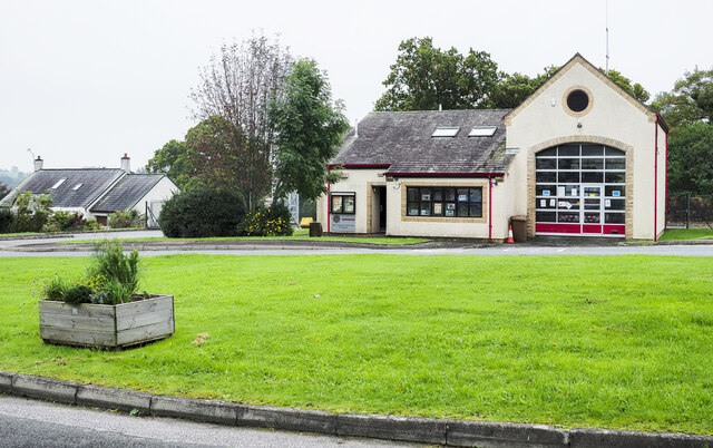
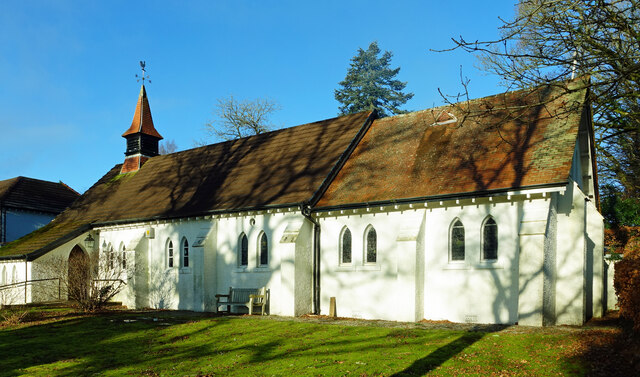
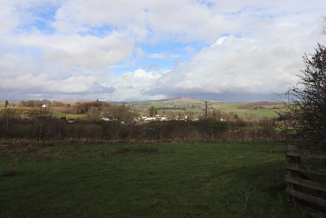
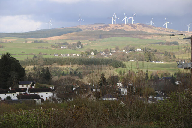
Kenmure Castle Images

Images are sourced within 2km of 55.063/-4.137 or Grid Reference NX6376. Thanks to Geograph Open Source API. All images are credited.

Fire Station, New Galloway The fire station on the south side of the A712 seen across a lawned area.
Fire Station, New Galloway
The fire station on the south side of the A712 seen across a lawned area.
New Galloway Episcopalian Church Located on the main route into the village from Ken Bridge.
New Galloway Episcopalian Church
Located on the main route into the village from Ken Bridge.
Farmland at New Galloway Viewed from the Old Edinburgh Road.
Farmland at New Galloway
Viewed from the Old Edinburgh Road.
New Galloway Viewed from the Old Edinburgh Road. With a view to a Windfarm.
New Galloway
Viewed from the Old Edinburgh Road. With a view to a Windfarm.
Farmer and Sheepdogs, New Galloway On the Old Edinburgh Road.
Farmer and Sheepdogs, New Galloway
On the Old Edinburgh Road.
Replanted coupe, near Cairn Edward Hill Probably a third generation here - Cairn Edward was one of the earliest plantations by the Forestry Commission.
Replanted coupe, near Cairn Edward Hill
Probably a third generation here - Cairn Edward was one of the earliest plantations by the Forestry Commission.
Logging road near Cairn Edward Hill
Logging road, Cairn Edward Granite gravel surface.
Logging road, Cairn Edward
Granite gravel surface.
Cairnraws Former moorland and one of the first Forestry Commission plantations in the Galloway Hills.
Cairnraws
Former moorland and one of the first Forestry Commission plantations in the Galloway Hills.
View towards Cairnsmore of Dee Cairn Edward Forest was one of the earliest Forestry Commission plantations and the young trees here would be at least the third generation.
View towards Cairnsmore of Dee
Cairn Edward Forest was one of the earliest Forestry Commission plantations and the young trees here would be at least the third generation.
A frosty morning on Loch Ken An early morning shot of the shady side of Loch Ken, viewed in very cold December weather.
A frosty morning on Loch Ken
An early morning shot of the shady side of Loch Ken, viewed in very cold December weather.
Little Kenmure Loch The northern end of Loch Ken viewed on a chilly December morning.
Little Kenmure Loch
The northern end of Loch Ken viewed on a chilly December morning.
Old milestone When railways were constructed across the hills of Kirkcudbright and Wigtonshire the stations were often several miles from the nearest large settlement.   The station for New Galloway was 5 miles to the south along the west bank of Loch Ken and on to Mossdale.    Milestones of this shape are found on several of the roads leading to stations.  From New Galloway it is 5 miles to the station.   This stone is in the village centre near The Smithy Tea Room.
Old milestone
When railways were constructed across the hills of Kirkcudbright and Wigtonshire the stations were often several miles from the nearest large settlement. The station for New Galloway was 5 miles to the south along the west bank of Loch Ken and on to Mossdale. Milestones of this shape are found on several of the roads leading to stations. From New Galloway it is 5 miles to the station. This stone is in the village centre near The Smithy Tea Room.
Old milestone The next 'railway' milestone south of New Galloway is at the entrance to Todstone Cottage.  N G/ 1/ Dalry/4¼ on the left face.
Old milestone
The next 'railway' milestone south of New Galloway is at the entrance to Todstone Cottage. N G/ 1/ Dalry/4¼ on the left face.
Old milestone The right hand face is in the shade on this sunny day but beneath the lichens the inscription is N.G.St.n/4.  The property was surrounded by this high fencing and several dogs were barking.
Old milestone
The right hand face is in the shade on this sunny day but beneath the lichens the inscription is N.G.St.n/4. The property was surrounded by this high fencing and several dogs were barking.
Old milestone 2 miles south from New Galloway and overlooking Loch Ken, this stone is at the northern end of a small rough lay-by on the west side of the road.
Old milestone
2 miles south from New Galloway and overlooking Loch Ken, this stone is at the northern end of a small rough lay-by on the west side of the road.
Old milestone Looking northwards the narrow A762 leads to New Galloway then onto the A713 to St John's Town of Dalry 4¼ miles away.
Old milestone
Looking northwards the narrow A762 leads to New Galloway then onto the A713 to St John's Town of Dalry 4¼ miles away.
Old milestone This milestone in the centre of New Galloway on the A712 indicates 24 miles from Dumfries.   It is another 18 miles to Newton Stewart.
Old milestone
This milestone in the centre of New Galloway on the A712 indicates 24 miles from Dumfries. It is another 18 miles to Newton Stewart.
Show me another place!

Kenmure Castle is located at Grid Ref: NX6376 (Lat: 55.063, Lng: -4.137)

Unitary Authority: Dumfries and Galloway

Police Authority: Dumfries and Galloway

What 3 Words

///central.blanks.anchovies. Near Castle Douglas, Dumfries & Galloway

Related Wikis

Kenmure Castle

Kenmure Castle is a fortified house or castle in The Glenkens, 1 mile (1.6 km) south of the town of New Galloway in Kirkcudbrightshire, Galloway, south...

Water of Ken

The Water of Ken is a river in the historical county of Kirkcudbrightshire in Galloway, south-west Scotland. It rises on Blacklorg Hill, north-east of...

New Galloway

New Galloway (Scottish Gaelic: Gall-Ghàidhealaibh Nuadh) is a town in the historical county of Kirkcudbrightshire in Dumfries and Galloway. It lies on...

New Galloway Town Hall

The New Galloway Town Hall is a municipal building in Dumfries and Galloway, Scotland, situated on the town's high street. A tolbooth has existed on the...

Galloway

Galloway (Scottish Gaelic: Gall-Ghàidhealaibh [ˈkal̪ˠaɣəl̪ˠu]; Scots: Gallowa; Latin: Gallovidia) is a region in southwestern Scotland comprising the historic...

Kells, Dumfries and Galloway

Kells parish, in the Stewartry of Kirkcudbright in Scotland, is located 14 miles (NWbN) from Castle-Douglas, and 19 miles (NbW) from Kirkcudbright. It...

Ken Bridge

The Ken Bridge is a road bridge about 0.8 kilometres (0.5 mi) north east of New Galloway in Dumfries and Galloway, Scotland, which carries the A712 road...

Balmaclellan

Balmaclellan (Scottish Gaelic: Baile Mac-a-ghille-dhiolan, meaning town of the MacLellans) is a small hillside village of stone houses with slate roofs...

Nearby Amenities

Located within 500m of 55.063,-4.137
Kenmure
Naptan AtcoCode: 680001036111
Naptan Bearing: N
Naptan BusStopType: CUS
Naptan CommonName: Kenmure
Naptan Indicator: opp Road End
Naptan Landmark: Kenmure
Naptan NaptanCode: 34235792
Naptan Notes: none
Naptan Street: A762
Naptan Verified: no
Source: naptan_import
Lat/Long: 55.0640769/-4.1412738
Kenmure
Naptan AtcoCode: 680001036222
Naptan Bearing: S
Naptan BusStopType: CUS
Naptan CommonName: Kenmure
Naptan Indicator: Road End
Naptan Landmark: Kenmure
Naptan NaptanCode: 34235793
Naptan Notes: none
Naptan Street: A762
Naptan Verified: no
Source: naptan_import
Lat/Long: 55.0640791/-4.1411486
Power: pole
Lat/Long: 55.0596027/-4.1417968
Power: pole
Lat/Long: 55.0594932/-4.1409747
Power: pole
Lat/Long: 55.059447/-4.1406178
Power: pole
Lat/Long: 55.0593545/-4.1399379
Power: pole
Lat/Long: 55.059217/-4.1388736
Power: pole
Lat/Long: 55.0595005/-4.1380089
Power: pole
Lat/Long: 55.0598023/-4.1371506
Power: pole
Lat/Long: 55.0638732/-4.1410341
Power: pole
Lat/Long: 55.0636713/-4.1416991
Power: pole
Lat/Long: 55.0633124/-4.1428506
Power: pole
Lat/Long: 55.0628647/-4.1429971
The data included in this document is from www.openstreetmap.org. The data is made available under ODbL.

Have you been to Kenmure Castle?

Leave your review of Kenmure Castle below (or comments, questions and feedback).