Roods Loch

Lake, Pool, Pond, Freshwater Marsh in Kirkcudbrightshire

Scotland

Roods Loch

Fire Station, New Galloway The fire station on the south side of the A712 seen across a lawned area.
Fire Station, New Galloway Credit: Trevor Littlewood

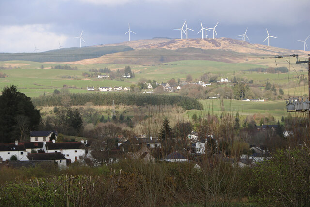
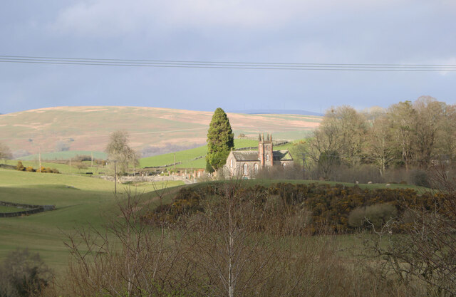
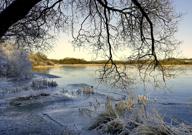
Roods Loch is a picturesque freshwater loch located in the region of Kirkcudbrightshire, Scotland. Situated amidst the rolling hills and lush greenery, this enchanting body of water covers an area of approximately 25 acres. The loch is surrounded by a diverse landscape, including woodlands, wetlands, and meadows, making it a haven for a wide range of flora and fauna.

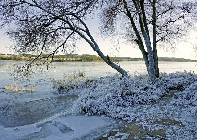
The calm, serene waters of Roods Loch are known for their exceptional clarity, reflecting the surrounding landscape like a mirror. The loch is fed by small streams and natural springs, ensuring a constant flow of fresh water. The water is relatively shallow, with an average depth of around 10 feet, allowing sunlight to penetrate through to the aquatic plants beneath the surface.

The loch is home to various species of fish, including brown trout, pike, and perch, making it a popular spot for recreational fishing. Anglers flock to its shores, hoping to catch a prized specimen amidst the tranquil setting.

Surrounding the loch, a freshwater marsh provides a habitat for a myriad of bird species, such as swans, ducks, and herons. The marshland is abundant in reeds, rushes, and other wetland vegetation, providing nesting sites and feeding grounds for these avian inhabitants.

Visitors to Roods Loch can explore the area's natural beauty by walking along the well-maintained footpaths that encircle the water. The loch offers an idyllic setting for picnics, birdwatching, or simply enjoying the peaceful atmosphere.

Overall, Roods Loch in Kirkcudbrightshire is a captivating freshwater body, offering a harmonious blend of stunning scenery, diverse wildlife, and recreational opportunities.

If you have any feedback on the listing, please let us know in the comments section below.
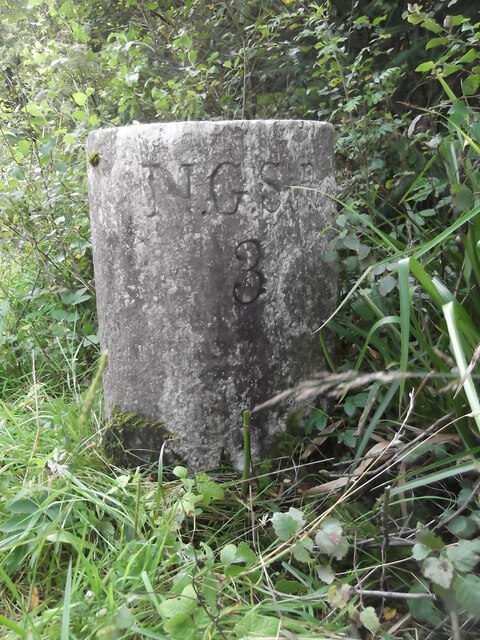
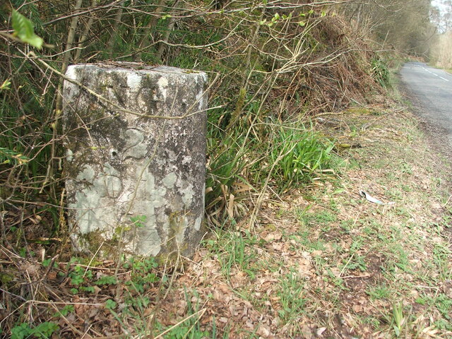
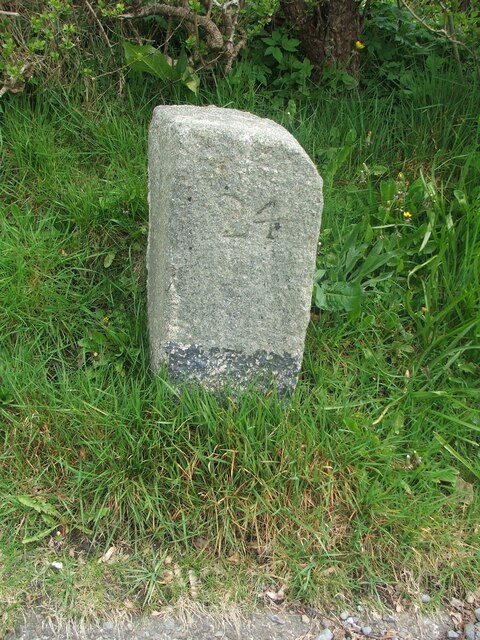
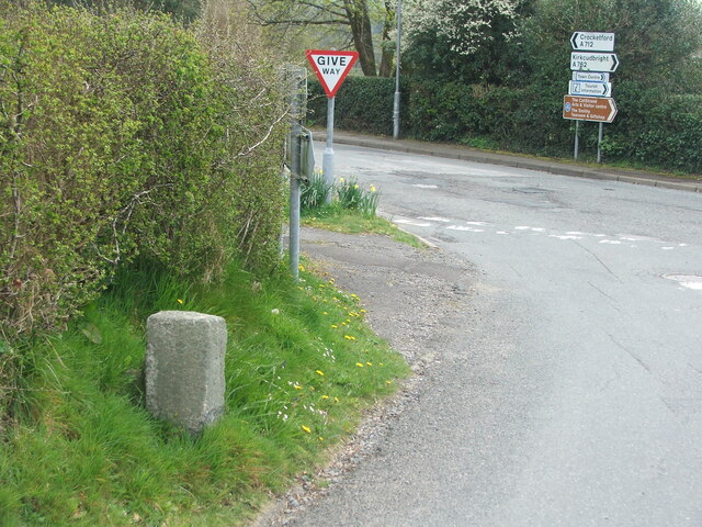
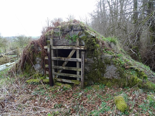
Roods Loch Images

Images are sourced within 2km of 55.064576/-4.1323454 or Grid Reference NX6376. Thanks to Geograph Open Source API. All images are credited.

Fire Station, New Galloway The fire station on the south side of the A712 seen across a lawned area.
Fire Station, New Galloway
The fire station on the south side of the A712 seen across a lawned area.
New Galloway Episcopalian Church Located on the main route into the village from Ken Bridge.
New Galloway Episcopalian Church
Located on the main route into the village from Ken Bridge.
Farmland at New Galloway Viewed from the Old Edinburgh Road.
Farmland at New Galloway
Viewed from the Old Edinburgh Road.
Kells Parish Church, New Galloway Viewed from the Old Edinburgh Road.
Kells Parish Church, New Galloway
Viewed from the Old Edinburgh Road.
New Galloway Viewed from the Old Edinburgh Road. With a view to a Windfarm.
New Galloway
Viewed from the Old Edinburgh Road. With a view to a Windfarm.
Kells Parish Church in Sunlight Viewed from the Old Edinburgh Road.
Kells Parish Church in Sunlight
Viewed from the Old Edinburgh Road.
Farmer and Sheepdogs, New Galloway On the Old Edinburgh Road.
Farmer and Sheepdogs, New Galloway
On the Old Edinburgh Road.
A frosty morning on Loch Ken An early morning shot of the shady side of Loch Ken, viewed in very cold December weather.
A frosty morning on Loch Ken
An early morning shot of the shady side of Loch Ken, viewed in very cold December weather.
Little Kenmure Loch The northern end of Loch Ken viewed on a chilly December morning.
Little Kenmure Loch
The northern end of Loch Ken viewed on a chilly December morning.
Old milestone When railways were constructed across the hills of Kirkcudbright and Wigtonshire the stations were often several miles from the nearest large settlement.   The station for New Galloway was 5 miles to the south along the west bank of Loch Ken and on to Mossdale.    Milestones of this shape are found on several of the roads leading to stations.  From New Galloway it is 5 miles to the station.   This stone is in the village centre near The Smithy Tea Room.
Old milestone
When railways were constructed across the hills of Kirkcudbright and Wigtonshire the stations were often several miles from the nearest large settlement. The station for New Galloway was 5 miles to the south along the west bank of Loch Ken and on to Mossdale. Milestones of this shape are found on several of the roads leading to stations. From New Galloway it is 5 miles to the station. This stone is in the village centre near The Smithy Tea Room.
Old milestone The next 'railway' milestone south of New Galloway is at the entrance to Todstone Cottage.  N G/ 1/ Dalry/4¼ on the left face.
Old milestone
The next 'railway' milestone south of New Galloway is at the entrance to Todstone Cottage. N G/ 1/ Dalry/4¼ on the left face.
Old milestone The right hand face is in the shade on this sunny day but beneath the lichens the inscription is N.G.St.n/4.  The property was surrounded by this high fencing and several dogs were barking.
Old milestone
The right hand face is in the shade on this sunny day but beneath the lichens the inscription is N.G.St.n/4. The property was surrounded by this high fencing and several dogs were barking.
Old milestone 2 miles south from New Galloway and overlooking Loch Ken, this stone is at the northern end of a small rough lay-by on the west side of the road.
Old milestone
2 miles south from New Galloway and overlooking Loch Ken, this stone is at the northern end of a small rough lay-by on the west side of the road.
Old milestone Looking northwards the narrow A762 leads to New Galloway then onto the A713 to St John's Town of Dalry 4¼ miles away.
Old milestone
Looking northwards the narrow A762 leads to New Galloway then onto the A713 to St John's Town of Dalry 4¼ miles away.
Old milestone This milestone in the centre of New Galloway on the A712 indicates 24 miles from Dumfries.   It is another 18 miles to Newton Stewart.
Old milestone
This milestone in the centre of New Galloway on the A712 indicates 24 miles from Dumfries. It is another 18 miles to Newton Stewart.
Old milestone The crossroads in New Galloway, with a road north following the Water of Ken for 3 or 4 miles to Earlstoun Loch.   Crocketford is to the east on the way to Dumfries.
Old milestone
The crossroads in New Galloway, with a road north following the Water of Ken for 3 or 4 miles to Earlstoun Loch. Crocketford is to the east on the way to Dumfries.
Kenmure Castle An old ice-house by Kenmure Castle.
Kenmure Castle
An old ice-house by Kenmure Castle.
Kenmure Castle Part of an incised cross-slab set against the wall of the walled garden at Kenmure Castle.
Kenmure Castle
Part of an incised cross-slab set against the wall of the walled garden at Kenmure Castle.
Show me another place!

Roods Loch is located at Grid Ref: NX6376 (Lat: 55.064576, Lng: -4.1323454)

Unitary Authority: Dumfries and Galloway

Police Authority: Dumfries and Galloway

What 3 Words

///erupt.daily.partly. Near Castle Douglas, Dumfries & Galloway

Related Wikis

Kenmure Castle

Kenmure Castle is a fortified house or castle in The Glenkens, 1 mile (1.6 km) south of the town of New Galloway in Kirkcudbrightshire, Galloway, south...

New Galloway

New Galloway (Scottish Gaelic: Gall-Ghàidhealaibh Nuadh) is a town in the historical county of Kirkcudbrightshire in Dumfries and Galloway. It lies on...

New Galloway Town Hall

The New Galloway Town Hall is a municipal building in Dumfries and Galloway, Scotland, situated on the town's high street. A tolbooth has existed on the...

Water of Ken

The Water of Ken is a river in the historical county of Kirkcudbrightshire in Galloway, south-west Scotland. It rises on Blacklorg Hill, north-east of...

Galloway

Galloway (Scottish Gaelic: Gall-Ghàidhealaibh [ˈkal̪ˠaɣəl̪ˠu]; Scots: Gallowa; Latin: Gallovidia) is a region in southwestern Scotland comprising the historic...

Ken Bridge

The Ken Bridge is a road bridge about 0.8 kilometres (0.5 mi) north east of New Galloway in Dumfries and Galloway, Scotland, which carries the A712 road...

Kells, Dumfries and Galloway

Kells parish, in the Stewartry of Kirkcudbright in Scotland, is located 14 miles (NWbN) from Castle-Douglas, and 19 miles (NbW) from Kirkcudbright. It...

Balmaclellan

Balmaclellan (Scottish Gaelic: Baile Mac-a-ghille-dhiolan, meaning town of the MacLellans) is a small hillside village of stone houses with slate roofs...

Related Videos

Fitville UK COMFY HIKING BOOTS Value Choice Love Your Feet Care Technology Foot Health Wide Choice

Thank You For Your Support #Fitville #hikingboots #Walkingboots #visitscotland #nature #djimini3pro #battery #lithium ...

Magnetism Im on BBC Live ?? 🤪 Loch Side Breakfast Galloway Vanlifer RV Lookback Playlist Nomad

Thank You For Your Support #BBC #bbclive #magnetfishing #beachbreakfast #vanlifer #visitscotland #nature #djimini3pro ...

NEW ! HALOVIEW THE BEST VANCAM SYSTEM EVER SM7 Artificial Intelegence Sophon Rev/Dash Trail/Vlogging

Thank You For Your Support #haloview #sophonai #reversecam #vanlifer #scotland My name is Stephen My RV Home on wheels ...

“WOULD YOU DO THIS ?? Campervan RV Snow Wash ! Drink Burn Water ! WHY I DO Vandweller Scotland Life

wildswimming #coldwaterbath #winter #Vanlifetips #freedom Dog Treats 4 Skye x ...

Nearby Amenities

Located within 500m of 55.064576,-4.1323454
Power: pole
Lat/Long: 55.0648623/-4.1245356
The data included in this document is from www.openstreetmap.org. The data is made available under ODbL.

Have you been to Roods Loch?

Leave your review of Roods Loch below (or comments, questions and feedback).