Gills Loch

Lake, Pool, Pond, Freshwater Marsh in Kirkcudbrightshire

Scotland

Gills Loch

Fire Station, New Galloway The fire station on the south side of the A712 seen across a lawned area.
Fire Station, New Galloway Credit: Trevor Littlewood

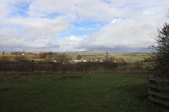
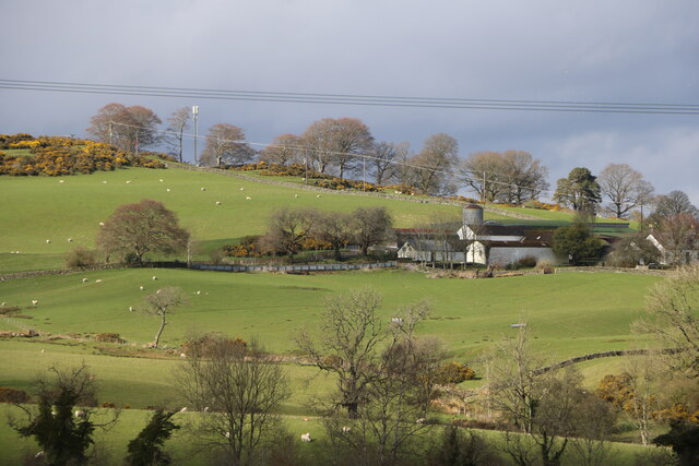
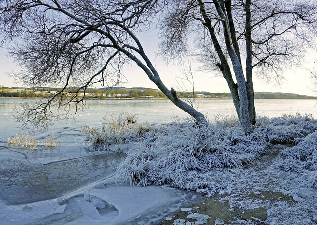
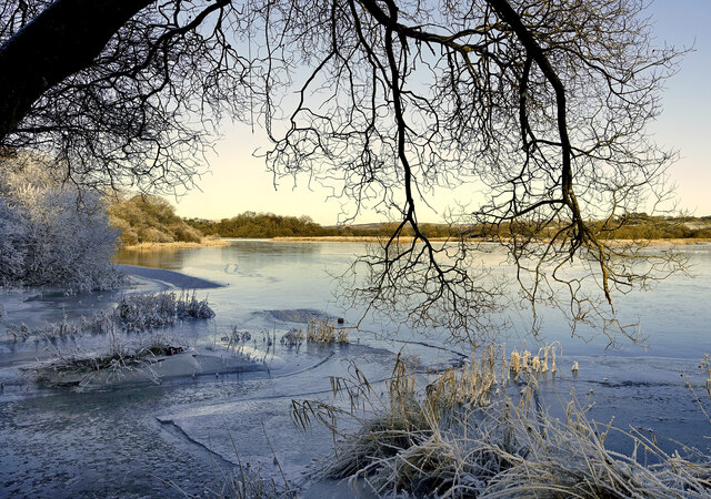
Gills Loch is a small freshwater lake located in Kirkcudbrightshire, Scotland. The loch is surrounded by lush greenery and rolling hills, providing a picturesque and tranquil setting for visitors to enjoy. The water in Gills Loch is clear and clean, making it an ideal spot for fishing, birdwatching, and nature enthusiasts.

The loch is home to a variety of wildlife, including ducks, swans, and other waterfowl. The surrounding marshland is rich in plant and animal species, creating a diverse and vibrant ecosystem.

Gills Loch is a popular destination for outdoor activities such as hiking, picnicking, and kayaking. The peaceful atmosphere and stunning scenery make it a perfect spot for relaxation and recreation.

Overall, Gills Loch is a hidden gem in Kirkcudbrightshire, offering visitors a chance to connect with nature and enjoy the beauty of the Scottish countryside. Whether you are looking for a peaceful retreat or an adventure in the great outdoors, Gills Loch has something to offer for everyone.

If you have any feedback on the listing, please let us know in the comments section below.
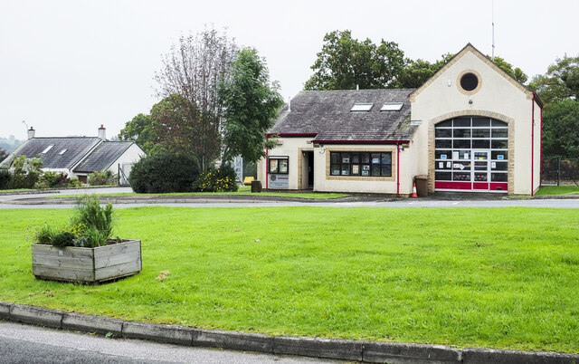
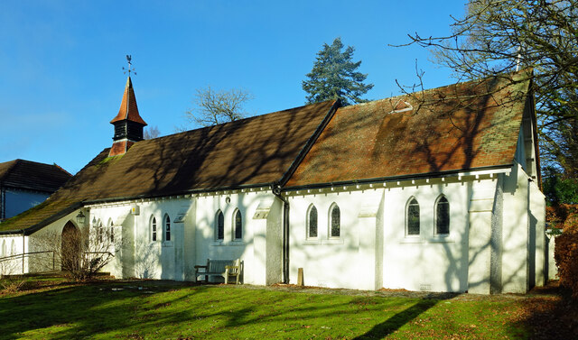
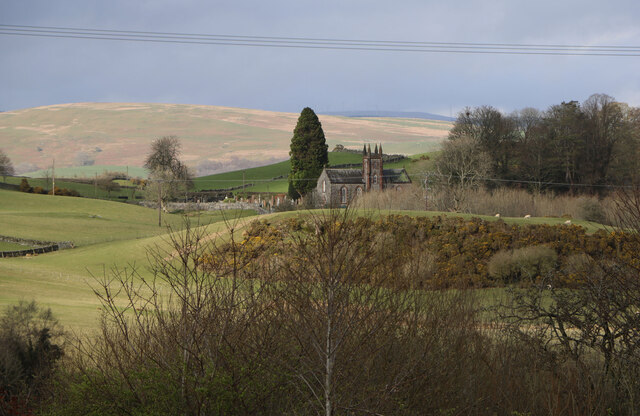
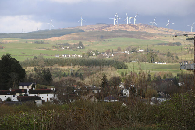
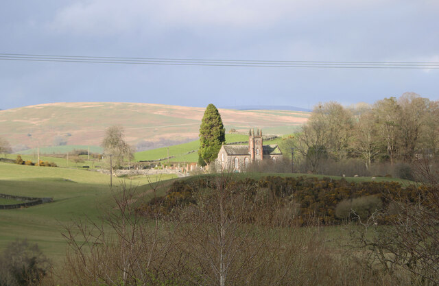
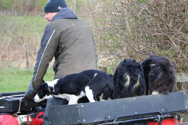
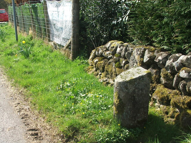
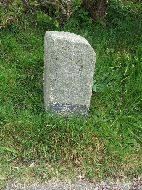
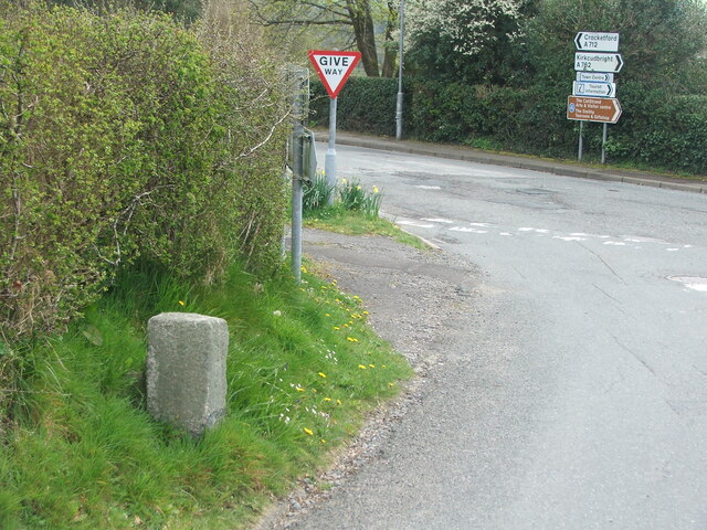
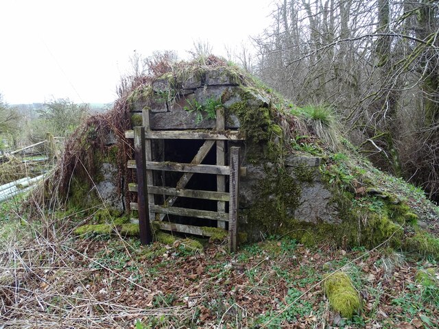
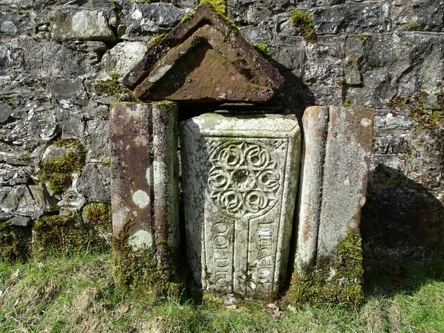
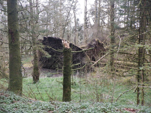
Gills Loch Images

Images are sourced within 2km of 55.06606/-4.1373735 or Grid Reference NX6376. Thanks to Geograph Open Source API. All images are credited.

Fire Station, New Galloway The fire station on the south side of the A712 seen across a lawned area.
Fire Station, New Galloway
The fire station on the south side of the A712 seen across a lawned area.
New Galloway Episcopalian Church Located on the main route into the village from Ken Bridge.
New Galloway Episcopalian Church
Located on the main route into the village from Ken Bridge.
Farmland at New Galloway Viewed from the Old Edinburgh Road.
Farmland at New Galloway
Viewed from the Old Edinburgh Road.
Kells Parish Church, New Galloway Viewed from the Old Edinburgh Road.
Kells Parish Church, New Galloway
Viewed from the Old Edinburgh Road.
Viewfield Farm, New Galloway Viewed from the Old Edinburgh Road.
Viewfield Farm, New Galloway
Viewed from the Old Edinburgh Road.
New Galloway Viewed from the Old Edinburgh Road. With a view to a Windfarm.
New Galloway
Viewed from the Old Edinburgh Road. With a view to a Windfarm.
Kells Parish Church in Sunlight Viewed from the Old Edinburgh Road.
Kells Parish Church in Sunlight
Viewed from the Old Edinburgh Road.
Farmer and Sheepdogs, New Galloway On the Old Edinburgh Road.
Farmer and Sheepdogs, New Galloway
On the Old Edinburgh Road.
A frosty morning on Loch Ken An early morning shot of the shady side of Loch Ken, viewed in very cold December weather.
A frosty morning on Loch Ken
An early morning shot of the shady side of Loch Ken, viewed in very cold December weather.
Little Kenmure Loch The northern end of Loch Ken viewed on a chilly December morning.
Little Kenmure Loch
The northern end of Loch Ken viewed on a chilly December morning.
Old milestone When railways were constructed across the hills of Kirkcudbright and Wigtonshire the stations were often several miles from the nearest large settlement.   The station for New Galloway was 5 miles to the south along the west bank of Loch Ken and on to Mossdale.    Milestones of this shape are found on several of the roads leading to stations.  From New Galloway it is 5 miles to the station.   This stone is in the village centre near The Smithy Tea Room.
Old milestone
When railways were constructed across the hills of Kirkcudbright and Wigtonshire the stations were often several miles from the nearest large settlement. The station for New Galloway was 5 miles to the south along the west bank of Loch Ken and on to Mossdale. Milestones of this shape are found on several of the roads leading to stations. From New Galloway it is 5 miles to the station. This stone is in the village centre near The Smithy Tea Room.
Old milestone The next 'railway' milestone south of New Galloway is at the entrance to Todstone Cottage.  N G/ 1/ Dalry/4¼ on the left face.
Old milestone
The next 'railway' milestone south of New Galloway is at the entrance to Todstone Cottage. N G/ 1/ Dalry/4¼ on the left face.
Old milestone The right hand face is in the shade on this sunny day but beneath the lichens the inscription is N.G.St.n/4.  The property was surrounded by this high fencing and several dogs were barking.
Old milestone
The right hand face is in the shade on this sunny day but beneath the lichens the inscription is N.G.St.n/4. The property was surrounded by this high fencing and several dogs were barking.
Old milestone This milestone in the centre of New Galloway on the A712 indicates 24 miles from Dumfries.   It is another 18 miles to Newton Stewart.
Old milestone
This milestone in the centre of New Galloway on the A712 indicates 24 miles from Dumfries. It is another 18 miles to Newton Stewart.
Old milestone The crossroads in New Galloway, with a road north following the Water of Ken for 3 or 4 miles to Earlstoun Loch.   Crocketford is to the east on the way to Dumfries.
Old milestone
The crossroads in New Galloway, with a road north following the Water of Ken for 3 or 4 miles to Earlstoun Loch. Crocketford is to the east on the way to Dumfries.
Kenmure Castle An old ice-house by Kenmure Castle.
Kenmure Castle
An old ice-house by Kenmure Castle.
Kenmure Castle Part of an incised cross-slab set against the wall of the walled garden at Kenmure Castle.
Kenmure Castle
Part of an incised cross-slab set against the wall of the walled garden at Kenmure Castle.
Windthrow near New Galloway By Sentry Knowe.
Windthrow near New Galloway
By Sentry Knowe.
Show me another place!

Gills Loch is located at Grid Ref: NX6376 (Lat: 55.06606, Lng: -4.1373735)

Unitary Authority: Dumfries and Galloway

Police Authority: Dumfries and Galloway

What 3 Words

///curious.sunbeam.declines. Near Castle Douglas, Dumfries & Galloway

Related Wikis

Kenmure Castle

Kenmure Castle is a fortified house or castle in The Glenkens, 1 mile (1.6 km) south of the town of New Galloway in Kirkcudbrightshire, Galloway, south...

New Galloway

New Galloway (Scottish Gaelic: Gall-Ghàidhealaibh Nuadh) is a town in the historical county of Kirkcudbrightshire in Dumfries and Galloway. It lies on...

Water of Ken

The Water of Ken is a river in the historical county of Kirkcudbrightshire in Galloway, south-west Scotland.It rises on Blacklorg Hill, north-east of Cairnsmore...

New Galloway Town Hall

The New Galloway Town Hall is a municipal building in Dumfries and Galloway, Scotland, situated on the town's high street. A tolbooth has existed on the...

Nearby Amenities

Located within 500m of 55.06606,-4.1373735
Kenmure
Naptan AtcoCode: 680001036111
Naptan Bearing: N
Naptan BusStopType: CUS
Naptan CommonName: Kenmure
Naptan Indicator: opp Road End
Naptan Landmark: Kenmure
Naptan NaptanCode: 34235792
Naptan Notes: none
Naptan Street: A762
Naptan Verified: no
Source: naptan_import
Lat/Long: 55.0640769/-4.1412738
Kenmure
Naptan AtcoCode: 680001036222
Naptan Bearing: S
Naptan BusStopType: CUS
Naptan CommonName: Kenmure
Naptan Indicator: Road End
Naptan Landmark: Kenmure
Naptan NaptanCode: 34235793
Naptan Notes: none
Naptan Street: A762
Naptan Verified: no
Source: naptan_import
Lat/Long: 55.0640791/-4.1411486
Power: pole
Lat/Long: 55.0638732/-4.1410341
Power: pole
Lat/Long: 55.0636713/-4.1416991
Power: pole
Lat/Long: 55.0633124/-4.1428506
The data included in this document is from www.openstreetmap.org. The data is made available under ODbL.

Have you been to Gills Loch?

Leave your review of Gills Loch below (or comments, questions and feedback).