Kenfield Hall
Heritage Site in Kent Canterbury
England
Kenfield Hall

Kenfield Hall is a historic mansion located in the county of Kent, England. Situated in the countryside, it is renowned as a significant heritage site that showcases the architectural and cultural heritage of the region. The hall was originally built in the early 18th century and has undergone various renovations and additions over the years.
The exterior of Kenfield Hall is a remarkable example of Georgian architecture, characterized by its symmetrical design, classical proportions, and elegant facade. The building is constructed with red brick and features prominent sash windows, decorative cornices, and a grand entrance portico. Surrounding the hall is a beautifully landscaped garden, with manicured lawns, vibrant flower beds, and ancient trees that enhance the grandeur of the estate.
Inside, visitors can explore the opulent interiors of Kenfield Hall, which have been meticulously preserved. The rooms are adorned with intricate plasterwork, ornate fireplaces, and elaborate chandeliers, reflecting the style and taste of the Georgian period. The hall also houses a collection of valuable artwork, antique furniture, and historical artifacts that provide a glimpse into the past.
In addition to its architectural significance, Kenfield Hall holds historical importance for the local community. It has been associated with prominent figures and events throughout its history, contributing to its cultural value. The hall is now open to the public, offering guided tours, educational programs, and occasional events, allowing visitors to appreciate and learn about its heritage.
If you have any feedback on the listing, please let us know in the comments section below.
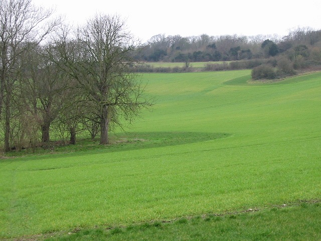
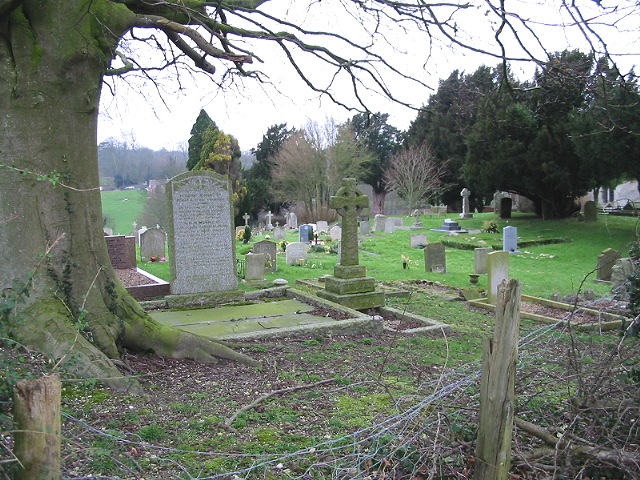
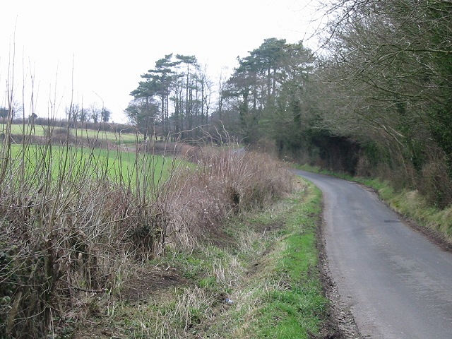
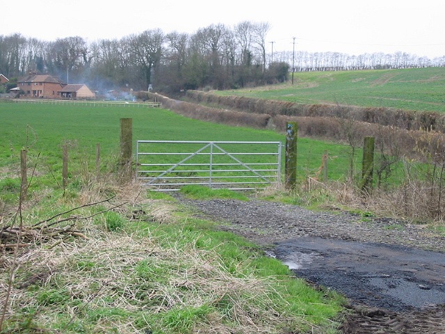
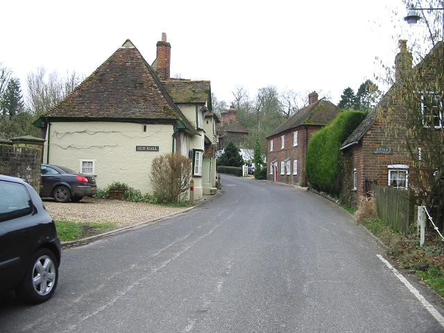
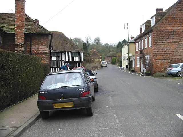
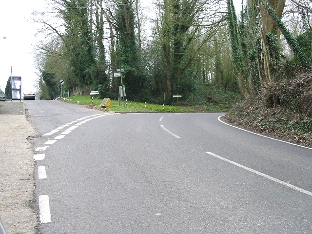
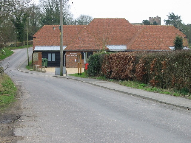
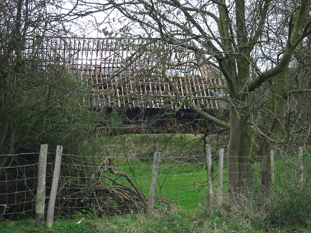
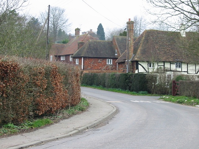
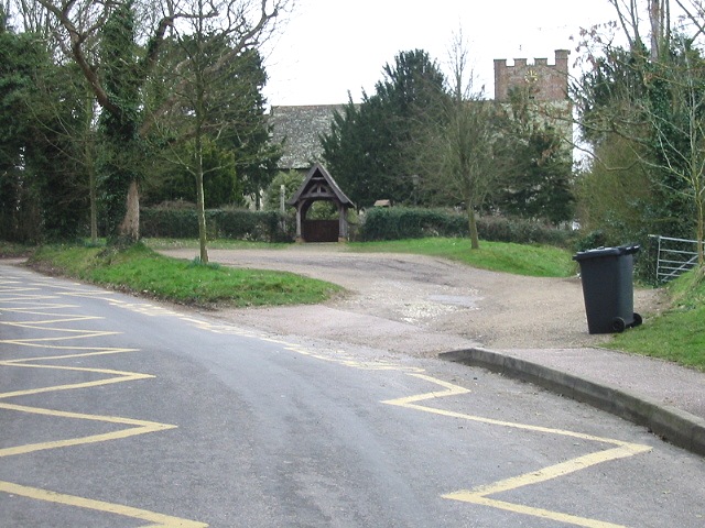
Kenfield Hall Images
Images are sourced within 2km of 51.232/1.043 or Grid Reference TR1252. Thanks to Geograph Open Source API. All images are credited.


Kenfield Hall is located at Grid Ref: TR1252 (Lat: 51.232, Lng: 1.043)
Administrative County: Kent
District: Canterbury
Police Authority: Kent
What 3 Words
///hired.summer.variation. Near Chartham, Kent
Nearby Locations
Related Wikis

Petham
Petham is a rural village and civil parish in the North Downs, five miles south of Canterbury in Kent, South East England. The village church is All Saints...

St Augustine's Hospital, Chartham
St Augustine's Hospital was a psychiatric hospital in Chartham, Kent, England. It was founded as the second, or East, Kent County Asylum in 1872. In 1948...

Denge Wood
Denge Wood is a wood located 8 miles southwest of Canterbury in Kent, England. The wood is owned by the Forestry Commission and the Woodland Trust. Part...

Lower Hardres
Lower Hardres is a village and former civil parish, now in the parish of Lower Hardres and Nackington, in the City of Canterbury district of Kent, England...

Larkey Valley Wood
Larkey Valley Wood is a 44.1-hectare (109-acre) biological Site of Special Scientific Interest south of Canterbury in Kent. It is also a Local Nature Reserve...

Church of St Mary, Chartham
St Mary's Church is in the village of Chartham, Kent, England. It is an active Anglican parish church in the Diocese of Canterbury. Constructed between...

Upper Hardres
Upper Hardres is a village and civil parish in the City of Canterbury, in the district of Kent, England. The name of the Hardres family is perpetuated...

Chartham railway station
Chartham railway station is in Chartham, Kent, on the Ashford to Ramsgate line. The station, and all trains serving it, is operated by Southeastern....
Nearby Amenities
Located within 500m of 51.232,1.043Have you been to Kenfield Hall?
Leave your review of Kenfield Hall below (or comments, questions and feedback).