Kenfig Castle
Heritage Site in Glamorgan
Wales
Kenfig Castle

Kenfig Castle is a historic castle located in the county of Glamorgan, Wales. Situated in the town of Kenfig, the castle has a rich history dating back to the 12th century. Originally built as a motte and bailey castle, it was later rebuilt in stone during the 13th century.
The castle played an important role in the defense of the region during the medieval period. It served as a stronghold for the Norman lords of Glamorgan and was strategically positioned to control the nearby river crossing and protect the local population. Over the years, the castle underwent several modifications and expansions, including the addition of a large gatehouse and a curtain wall.
Unfortunately, the castle's fortunes declined in the 14th century due to the encroachment of sand dunes, causing the nearby town of Kenfig to be abandoned. The shifting sands eventually swallowed much of the castle, burying it under layers of sand. Today, only the ruins of the gatehouse and parts of the curtain wall remain visible.
Kenfig Castle is now a designated heritage site and is managed by Cadw, the Welsh government's historic environment service. It is a popular destination for history enthusiasts and visitors interested in exploring the castle's medieval past. The site offers guided tours, informative displays, and a visitor center providing insight into the castle's history and significance. Additionally, the castle is surrounded by Kenfig National Nature Reserve, offering visitors the opportunity to explore the beautiful coastal dunes and wildlife that thrive in the area.
If you have any feedback on the listing, please let us know in the comments section below.
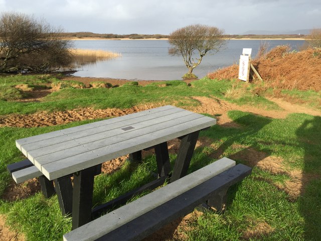
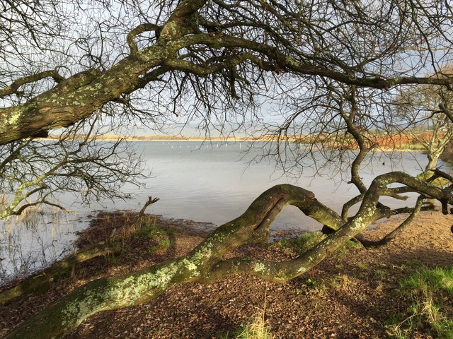
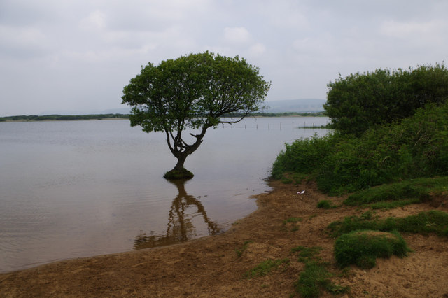
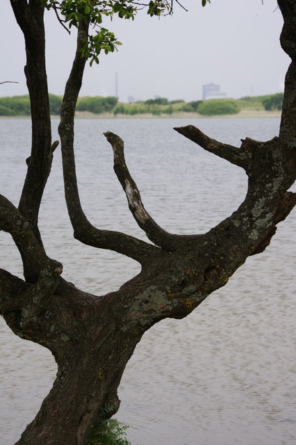
Kenfig Castle Images
Images are sourced within 2km of 51.528/-3.723 or Grid Reference SS8082. Thanks to Geograph Open Source API. All images are credited.


Kenfig Castle is located at Grid Ref: SS8082 (Lat: 51.528, Lng: -3.723)
What 3 Words
///amicably.backed.severe. Near Pyle, Bridgend
Nearby Locations
Related Wikis

Kenfig Castle
Kenfig Castle (Welsh: Castell Cynffig) is a ruined castle in Bridgend County Borough in Wales that came to prominence after the Anglo-Norman invasion of...

Kenfig Pool
Kenfig Pool (Welsh: Pwll Cynffig) is a national nature reserve situated near Porthcawl, Bridgend. Wild storms and huge tides between the 13th and 15th...

North Cornelly
North Cornelly (Welsh: Gogledd Corneli) is a village in Cornelly, Bridgend county borough, Wales. The village is close to South Cornelly, adjoins Pyle...
Kenfig
Kenfig (Welsh: Cynffig) is a village and former borough in Bridgend, Wales. It is situated 1 mile (1.6 km) inland on the north bank of the Bristol Channel...
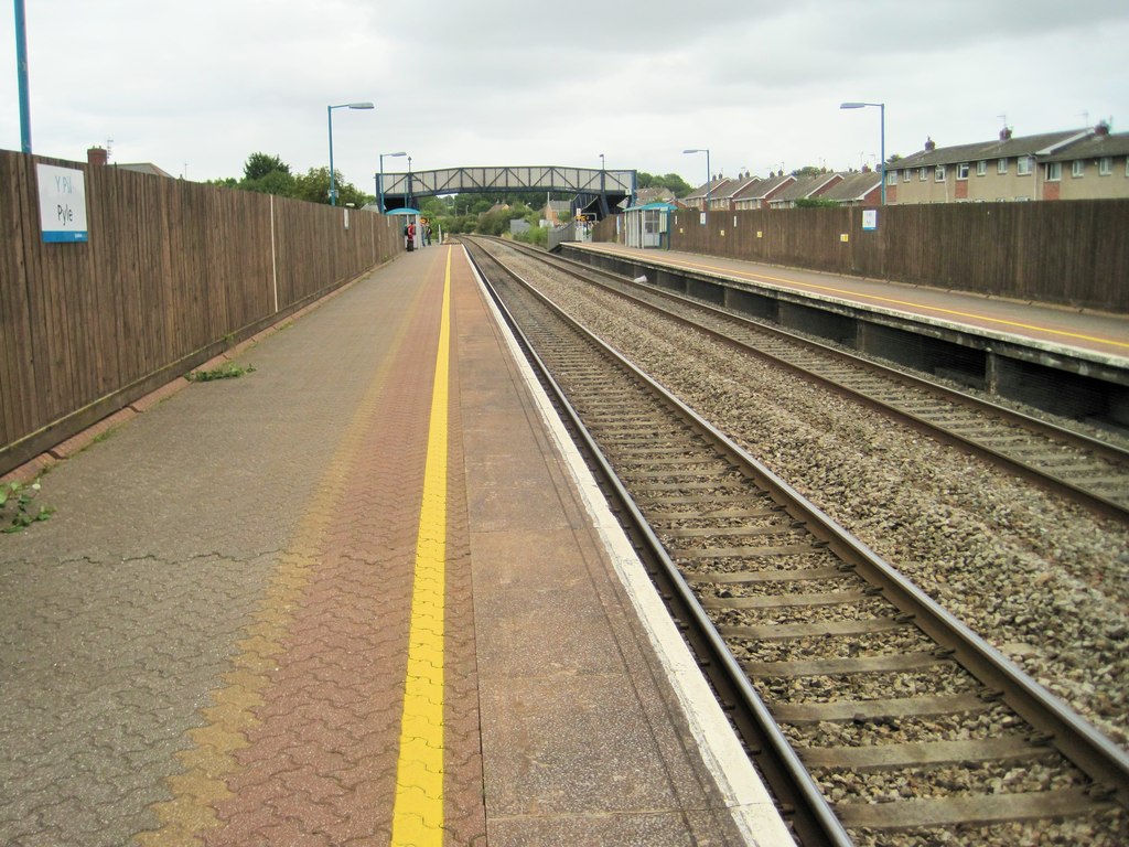
Pyle railway station
Pyle railway station is a minor station in Pyle (Welsh: Y Pîl) in Bridgend county borough, south Wales. The station is located at street level at Beach...
Cornelly
Cornelly (Welsh: Corneli) is a community and electoral ward in Bridgend County Borough, South Wales. As of 2011 the population of the Cornelly ward was...
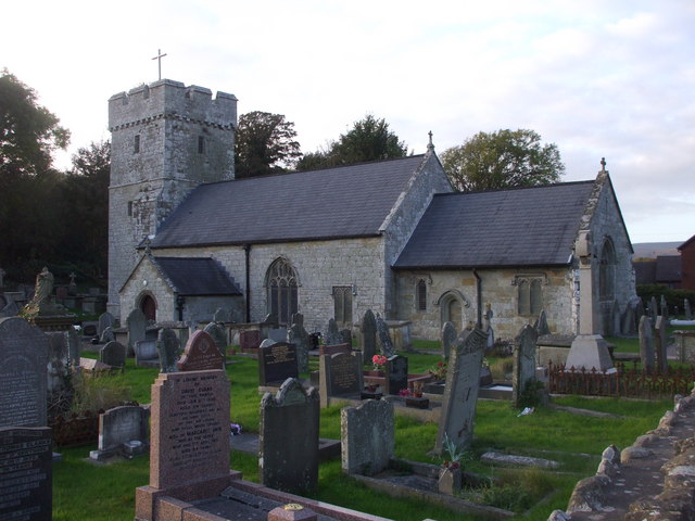
St James's Church, Pyle
St James's Church is a Grade I listed church in Pyle, Bridgend County Borough, southern Wales. A church was present in the area during the Norman period...
Margam TMD
Margam TMD was a railway locomotive traction maintenance depot situated in Port Talbot, South Wales. The depot code was MG, which has now been re-allocated...
Nearby Amenities
Located within 500m of 51.528,-3.723Have you been to Kenfig Castle?
Leave your review of Kenfig Castle below (or comments, questions and feedback).