Kencot Sites
Heritage Site in Oxfordshire West Oxfordshire
England
Kencot Sites

The requested URL returned error: 429 Too Many Requests
If you have any feedback on the listing, please let us know in the comments section below.
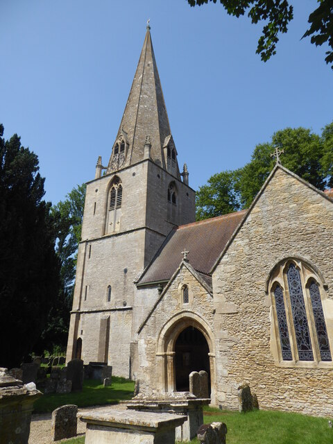
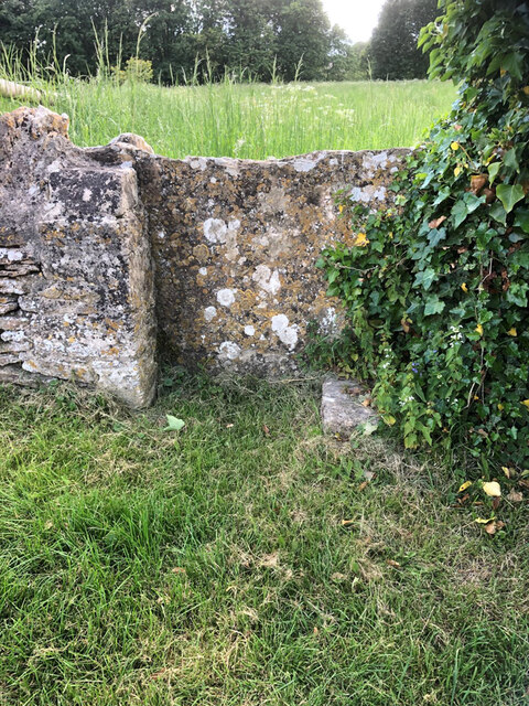
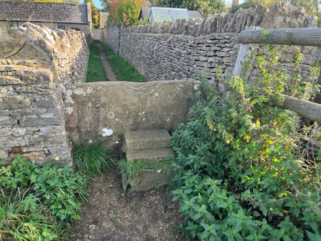
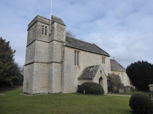
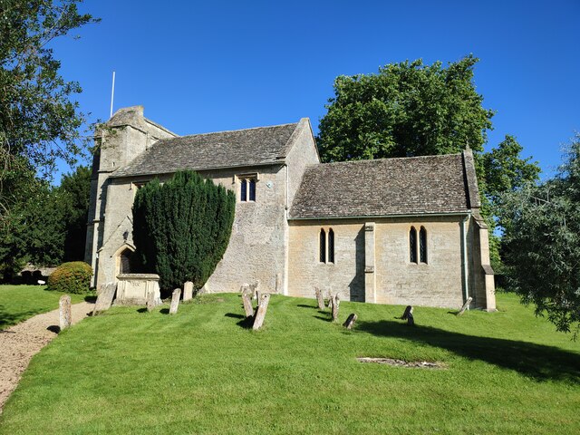
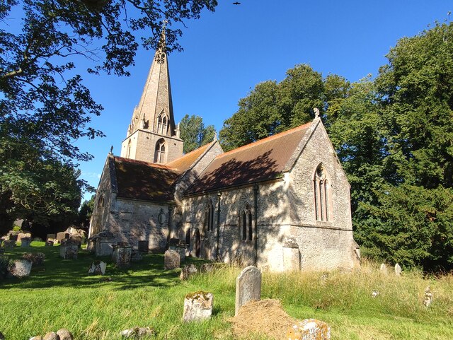
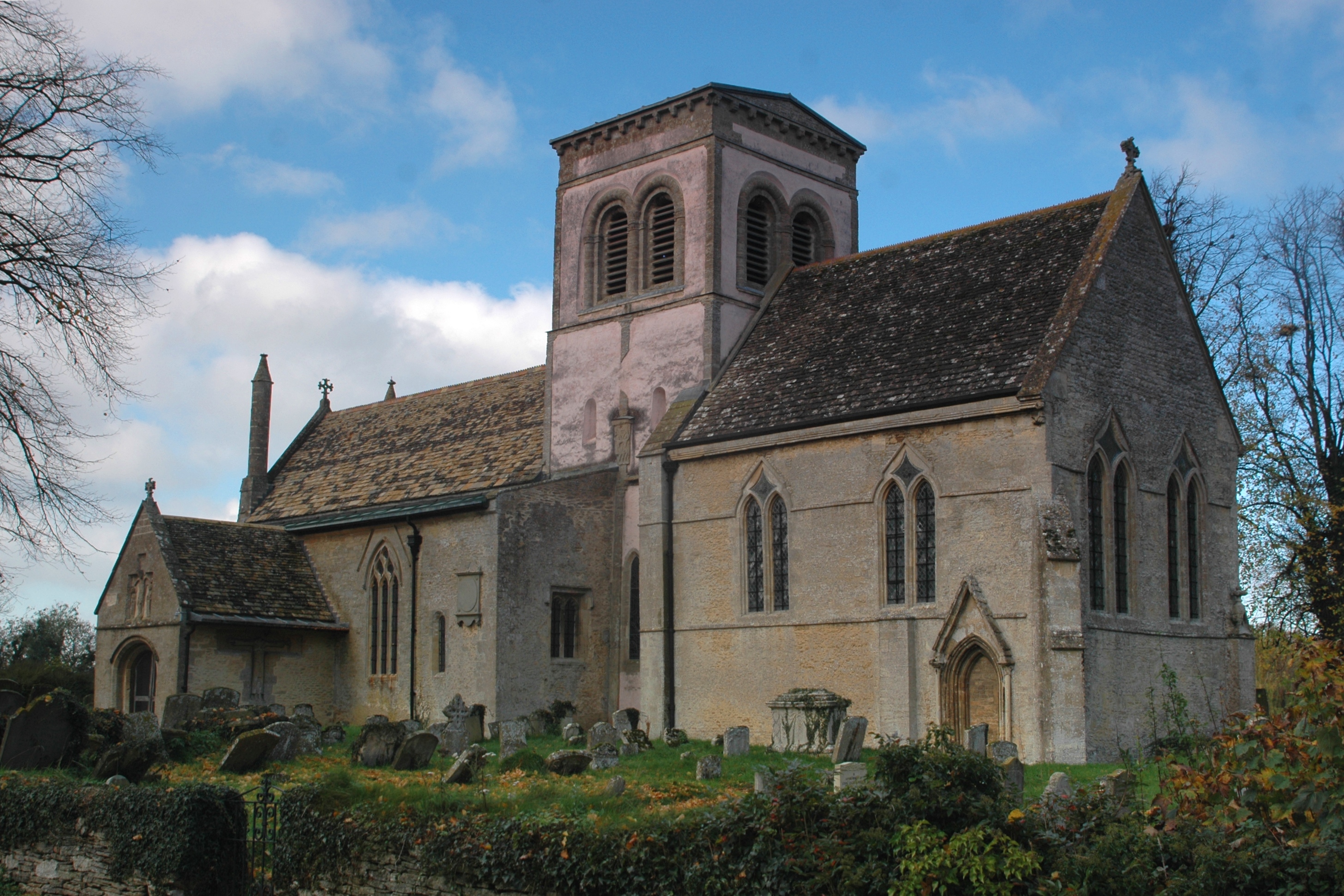
Kencot Sites Images
Images are sourced within 2km of 51.737/-1.635 or Grid Reference SP2504. Thanks to Geograph Open Source API. All images are credited.


Kencot Sites is located at Grid Ref: SP2504 (Lat: 51.737, Lng: -1.635)
Administrative County: Oxfordshire
District: West Oxfordshire
Police Authority: Thames Valley
What 3 Words
///districts.defends.grudge. Near Carterton, Oxfordshire
Nearby Locations
Related Wikis

Broadwell, Oxfordshire
Broadwell is a village and civil parish about 2 miles (3 km) south-west of Carterton in West Oxfordshire. The 2011 Census recorded the parish's population...

Langford, Oxfordshire
Langford is a village and civil parish in West Oxfordshire, about 3 miles (5 km) northeast of Lechlade in neighbouring Gloucestershire. The 2011 Census...
St Matthew's Church, Langford
The Parish Church of Saint Matthew, Langford is the Church of England parish church of Langford, a village in West Oxfordshire about 3 miles (5 km) northeast...

Filkins
Filkins is a village in the civil parish of Filkins and Broughton Poggs, about 2.5 miles (4 km) southwest of Carterton in Oxfordshire. == Churches... ==
Nearby Amenities
Located within 500m of 51.737,-1.635Have you been to Kencot Sites?
Leave your review of Kencot Sites below (or comments, questions and feedback).