Park Wood
Wood, Forest in Kent Canterbury
England
Park Wood

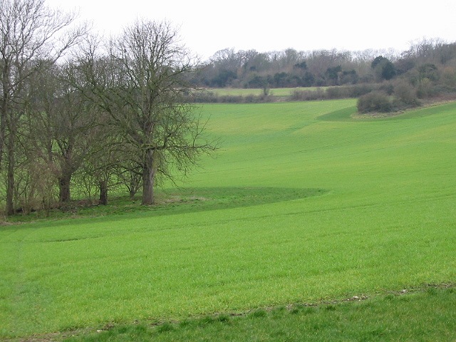
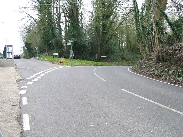
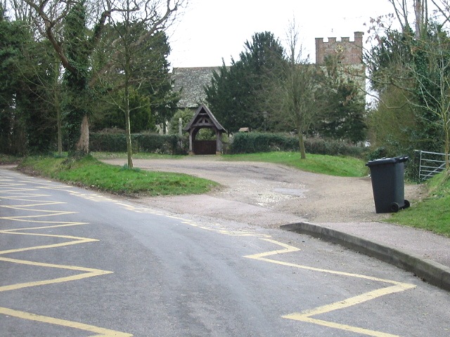
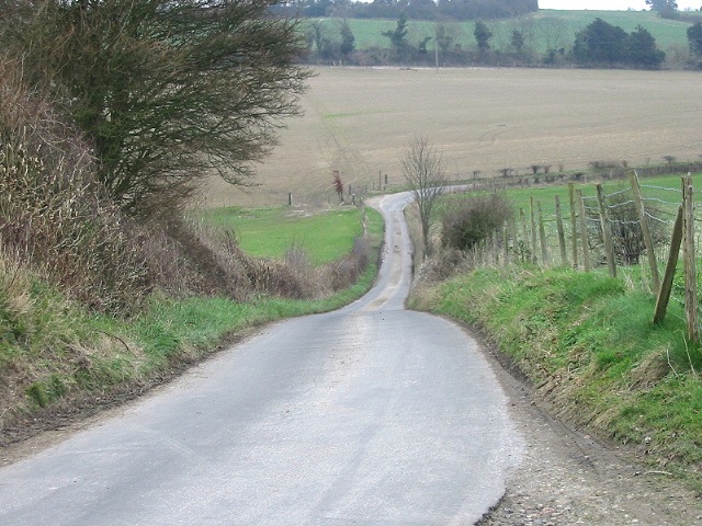
Park Wood is a small woodland area located in the county of Kent, England. Situated on the outskirts of the town of Maidstone, Park Wood covers an area of approximately 30 hectares. The wood is predominantly made up of oak and cherry trees, creating a picturesque and peaceful environment for visitors to enjoy.
The woodland is known for its rich biodiversity, with a variety of flora and fauna inhabiting the area. It is home to numerous bird species, including woodpeckers, owls, and various songbirds, making it a popular spot for birdwatching enthusiasts. Additionally, a wide range of small mammals, such as squirrels, rabbits, and mice, can also be found within the wood.
Park Wood offers a network of well-maintained footpaths, allowing visitors to explore and appreciate the natural beauty of the area. The paths wind through the trees, offering glimpses of wildflowers and providing opportunities for peaceful walks and leisurely strolls. The wood is particularly popular in the spring when the forest floor is carpeted with bluebells, creating a stunning display of vibrant colors.
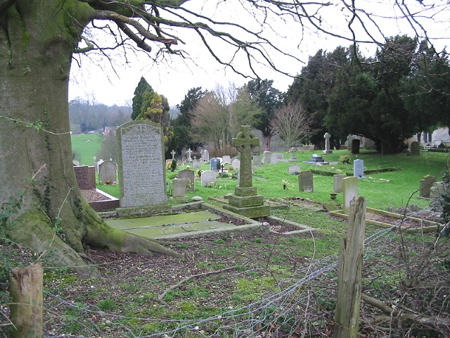
The wood is managed by the local council, which ensures its preservation and conservation. It is also a designated Site of Special Scientific Interest (SSSI) due to its ecological importance. As such, certain regulations are in place to protect the woodland and its inhabitants.
Overall, Park Wood in Kent is a cherished natural treasure, providing a haven for nature lovers and a tranquil escape from the hustle and bustle of everyday life.
If you have any feedback on the listing, please let us know in the comments section below.
Park Wood Images
Images are sourced within 2km of 51.233147/1.0431368 or Grid Reference TR1252. Thanks to Geograph Open Source API. All images are credited.


Park Wood is located at Grid Ref: TR1252 (Lat: 51.233147, Lng: 1.0431368)
Administrative County: Kent
District: Canterbury
Police Authority: Kent
What 3 Words
///banquets.headache.bronze. Near Chartham, Kent
Nearby Locations
Related Wikis

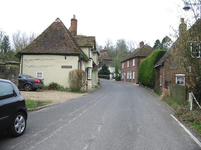
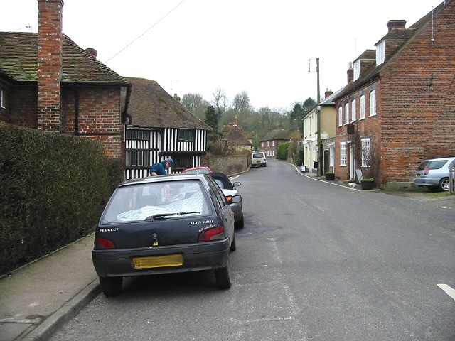
Petham
Petham is a rural village and civil parish in the North Downs, five miles south of Canterbury in Kent, South East England. The village church is All Saints...

St Augustine's Hospital, Chartham
St Augustine's Hospital was a psychiatric hospital in Chartham, Kent, England. It was founded as the second, or East, Kent County Asylum in 1872. In 1948...

Denge Wood
Denge Wood is a wood located 8 miles southwest of Canterbury in Kent, England. The wood is owned by the Forestry Commission and the Woodland Trust. Part...

Lower Hardres
Lower Hardres is a village and former civil parish, now in the parish of Lower Hardres and Nackington, in the City of Canterbury district of Kent, England...
Nearby Amenities
Located within 500m of 51.233147,1.0431368Have you been to Park Wood?
Leave your review of Park Wood below (or comments, questions and feedback).