Hascombe Hill Roman Camp

Heritage Site in Surrey Waverley

England

Hascombe Hill Roman Camp

Hascombe Spring
Hascombe Spring Credit: Alex McGregor

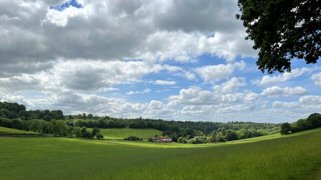
Hascombe Hill Roman Camp, located in Surrey, England, is a historical heritage site that dates back to the Roman period. It is situated on a hilltop overlooking the picturesque village of Hascombe and offers stunning views of the surrounding countryside.

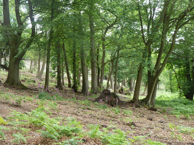
The Roman camp is believed to have been built during the 1st century AD, possibly as a temporary military base or a defensive structure. It occupies an area of approximately 1.5 hectares and is enclosed by a series of earthworks and ditches, which are still visible today.

The camp's strategic location on the hill provided a vantage point for monitoring the surrounding landscape and potential threats. It is believed to have been part of a wider network of Roman fortifications across the region.

Excavations at Hascombe Hill Roman Camp have revealed Roman pottery fragments, coins, and other artifacts, providing valuable insights into the daily life and activities of the Roman soldiers who once occupied the site.

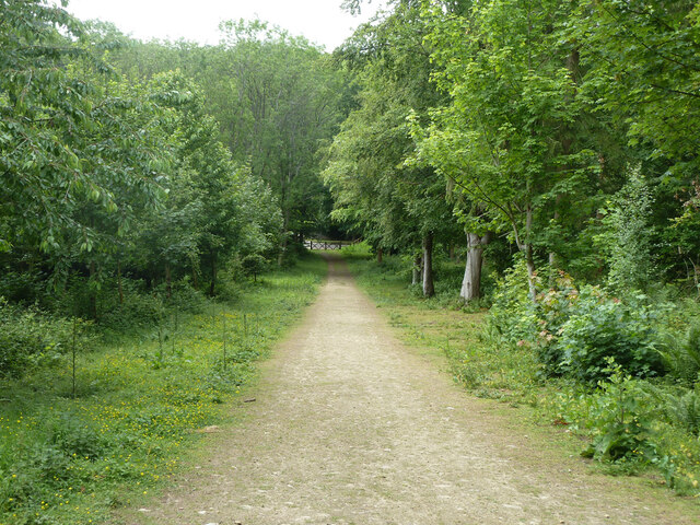
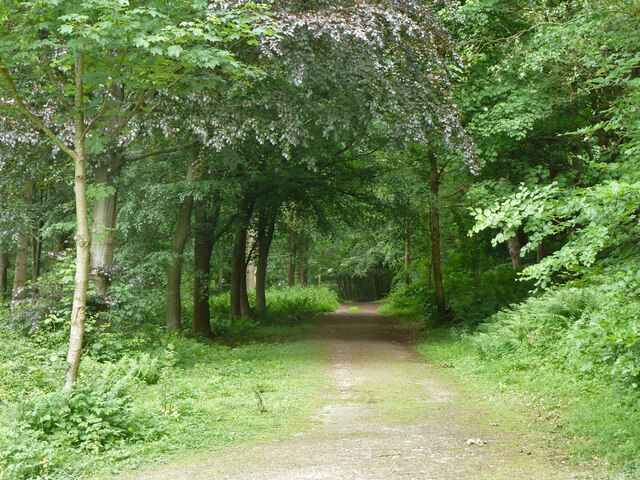
Today, the site is open to the public, and visitors can explore the earthworks and ditches that define the camp's boundaries. Information boards provide historical context and highlight the significance of the site. The peaceful surroundings and panoramic views make it an ideal spot for picnics and walks, attracting both history enthusiasts and nature lovers alike.

Hascombe Hill Roman Camp is a testament to the Roman presence in Surrey and serves as a reminder of the region's rich archaeological heritage.

If you have any feedback on the listing, please let us know in the comments section below.

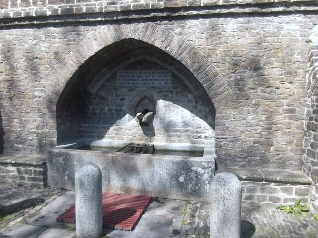
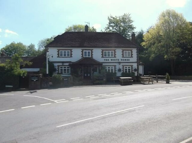
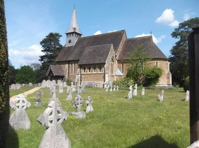
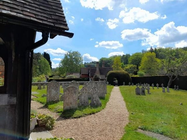
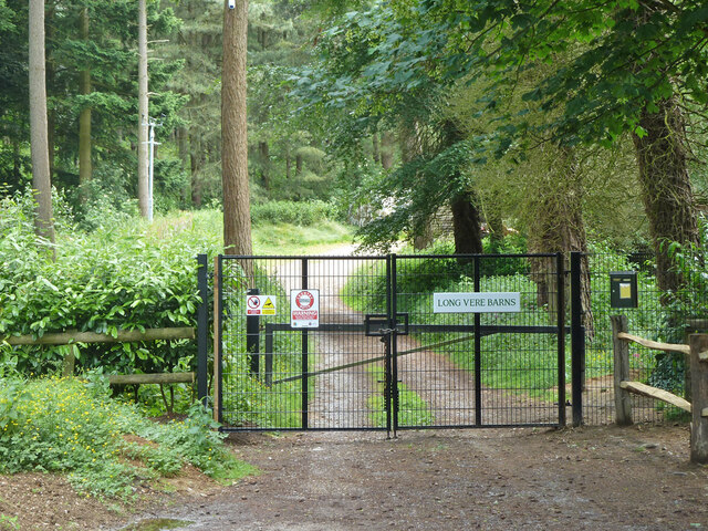
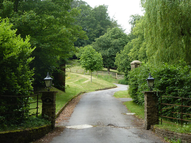
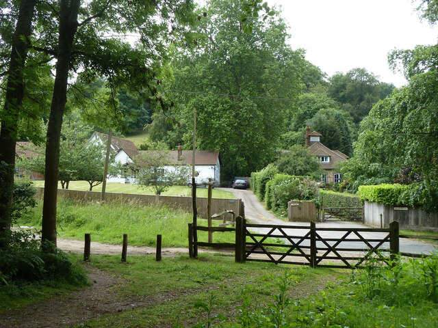
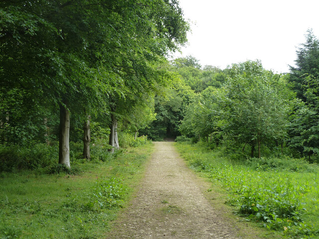
Hascombe Hill Roman Camp Images

Images are sourced within 2km of 51.1394/-0.5603 or Grid Reference TQ0038. Thanks to Geograph Open Source API. All images are credited.

Hascombe Spring
Hascombe Spring
Private drive leading to Pear Tree Green So says the large signpost, but the small one says public footpath. It is footpath 204 Dunsfold, a way towards Breakneck Hill.
Private drive leading to Pear Tree Green
So says the large signpost, but the small one says public footpath. It is footpath 204 Dunsfold, a way towards Breakneck Hill.
Barns at Red Leaf Farm A non-farming farm now.
Barns at Red Leaf Farm
A non-farming farm now.
The White Horse
The White Horse
St Peter's Church
St Peter's Church
St Peter's Church
St Peter's Church
Old Milestone, was at Park Hatch, B2130, Dunsfold Road The milestone was located opposite the junction with Dunsfold Common Road, on the East side of the road on the verge beside the drive to the house. Parish of Dunsfold (Waverley district). Cast iron post, Guildford iron casting design, erected by Godalming & Painshill turnpike trust in the 19th century.

Inscription read:-  HORSHAM / 13  ::  GODALMING / 5  ::  BRIGHTON / 35

This image was taken before 2003 when the milestone was smashed by a flail and the remains later totally removed.

Milestone Society National ID: SY_HOGO13
Old Milestone, was at Park Hatch, B2130, Dunsfold Road
The milestone was located opposite the junction with Dunsfold Common Road, on the East side of the road on the verge beside the drive to the house. Parish of Dunsfold (Waverley district). Cast iron post, Guildford iron casting design, erected by Godalming & Painshill turnpike trust in the 19th century. Inscription read:- HORSHAM / 13 :: GODALMING / 5 :: BRIGHTON / 35 This image was taken before 2003 when the milestone was smashed by a flail and the remains later totally removed. Milestone Society National ID: SY_HOGO13
Woodland debris - Creek Copse Some of those look like beech mast - but I'm not an expert on seeds and fruit.
Woodland debris - Creek Copse
Some of those look like beech mast - but I'm not an expert on seeds and fruit.
Hascombe Place Farm This is a cross-grid shot. The camera was in the square to the east.
Hascombe Place Farm
This is a cross-grid shot. The camera was in the square to the east.
Hedge and field east of Hook House Lane
Raswell Cottage, Loxhill Fronted by a very small green on the B2130, Godalming Road.
Raswell Cottage, Loxhill
Fronted by a very small green on the B2130, Godalming Road.
Gated entrance to Long Vere Barns Off the B2130, Godalming Road.
Gated entrance to Long Vere Barns
Off the B2130, Godalming Road.
Entrance to Hascombe Grange Off the B2130, Godalming Road.
Entrance to Hascombe Grange
Off the B2130, Godalming Road.
Permissive path, Hascombe Hill There is a car park just off to the left. Looking back to Godalming Road, B2130.
Permissive path, Hascombe Hill
There is a car park just off to the left. Looking back to Godalming Road, B2130.
Permissive path, Hascombe Hill Running from the car park on Godalming Road.
Permissive path, Hascombe Hill
Running from the car park on Godalming Road.
Permissive path, Hascombe Hill Looking back to Godalming Road, B2130, where there is a car park.
Permissive path, Hascombe Hill
Looking back to Godalming Road, B2130, where there is a car park.
Permissive path, Hascombe Hill
Woodland with foxgloves, Hascombe Hill
Show me another place!

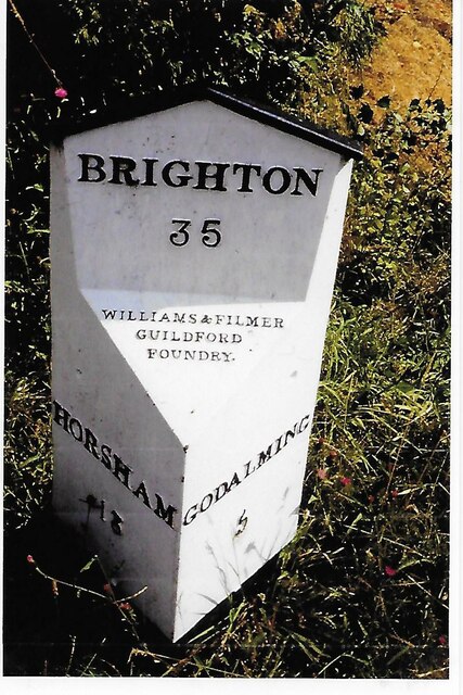
Hascombe Hill Roman Camp is located at Grid Ref: TQ0038 (Lat: 51.1394, Lng: -0.5603)

Administrative County: Surrey

District: Waverley

Police Authority: Surrey

What 3 Words

///arrives.fizzle.aunts. Near Chiddingfold, Surrey

Related Wikis

Hascombe Hill

Hascombe Hill or Hascombe Camp is the site of an Iron Age multivallate hill fort close to the village of Hascombe in Surrey, England. == History == The...

Hascombe

Hascombe is a village and civil parish in Surrey, England. It is around 3 miles (4.8 km) southeast of Godalming in the Borough of Waverley. The settlement...

Hascombe Court

Hascombe Court is a 172-acre (70 ha) estate in Hascombe, Surrey, best known for its vast garden designed by Gertrude Jekyll. Hascombe Court is listed Grade...

Dunsfold

Dunsfold is a village in the borough of Waverley, Surrey, England, 8.7 miles (14.0 kilometres) south of Guildford. It lies in the Weald and reaches in...

Winkworth Arboretum

Winkworth Arboretum is a National Trust-owned arboretum in the spread-out civil parish of Busbridge between Godalming and Hascombe, south-west Surrey,...

Top Gear test track

The Top Gear test track is used by the BBC automotive television programme Top Gear. It is located at Dunsfold Aerodrome in Surrey, United Kingdom. The...

Hydon's Ball

Hydon's Ball is a 179-metre-high (587 ft) hill covering most of Hydon Heath in Hydestile, Surrey, England. == Description == The hill on Hydon Heath, Hydestile...

Dunsfold Aerodrome

Dunsfold Aerodrome (former ICAO code EGTD) is an unlicensed airfield in Surrey, England, near the village of Cranleigh. It extends across land in the villages...

Nearby Amenities

Located within 500m of 51.1394,-0.5603
Hascombe Hill
Natural: peak
Lat/Long: 51.1382087/-0.5646291
Archaeological Site: megalith
Historic: archaeological_site
Megalith Type: stone_circle
Lat/Long: 51.136788/-0.5570475
Bench
Backrest: no
Lat/Long: 51.1386365/-0.5632831
Addr Housename: Lodge Farm
Lat/Long: 51.1365523/-0.5624549
Addr Housename: The Barn
Lat/Long: 51.1364873/-0.5619609
The data included in this document is from www.openstreetmap.org. The data is made available under ODbL.

Have you been to Hascombe Hill Roman Camp?

Leave your review of Hascombe Hill Roman Camp below (or comments, questions and feedback).