Harvington Hall

Heritage Site in Worcestershire Wyre Forest

England

Harvington Hall

Stone Church & School Taken from the footpath leading to the A448, to the south-west of the church. The school is the white building on the right of the photograph. The stile leading out on to the road is visible in the middle of the picture, on the left-hand side.
Stone Church & School Credit: Martyn B

Harvington Hall is a remarkable Tudor-era manor house located in Worcestershire, England. As a significant part of the region's heritage, the hall has become a popular tourist destination and an important site for historical research. The construction of the hall began in the late 16th century and was completed in the early 17th century, making it an exemplary representation of Elizabethan architecture.

The main attraction of Harvington Hall lies in its well-preserved priest hides, secret passages, and concealed chambers, which were ingeniously designed to protect Catholic priests during the period of religious persecution in England. These hiding places played a crucial role in allowing priests to continue practicing their faith in secret, despite the oppressive policies of the time.

Visitors to Harvington Hall can explore the various rooms and intricately designed gardens, gaining a deeper understanding of the struggles faced by Catholics during the Tudor period. The hall's many features, including its medieval moat, stunning tapestries, and beautifully restored interiors, provide a captivating glimpse into the lives of those who sought refuge within its walls.

In addition to its historical significance, Harvington Hall also hosts various events and educational programs throughout the year. Visitors can participate in guided tours, workshops, and exhibitions, all aimed at promoting a better understanding of the hall's cultural heritage. The site also boasts a gift shop and a tearoom, offering visitors the opportunity to purchase unique souvenirs and enjoy traditional English refreshments.

Overall, Harvington Hall stands as a testament to the resilience and ingenuity of the Catholic community during a challenging period in English history. Its well-preserved architecture and historical significance make it an essential destination for history enthusiasts and those interested in exploring the rich tapestry of England's past.

If you have any feedback on the listing, please let us know in the comments section below.

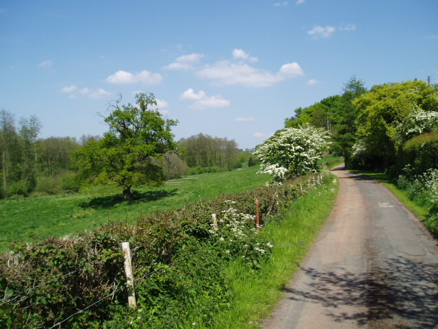
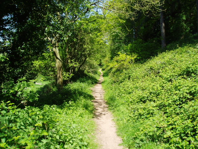
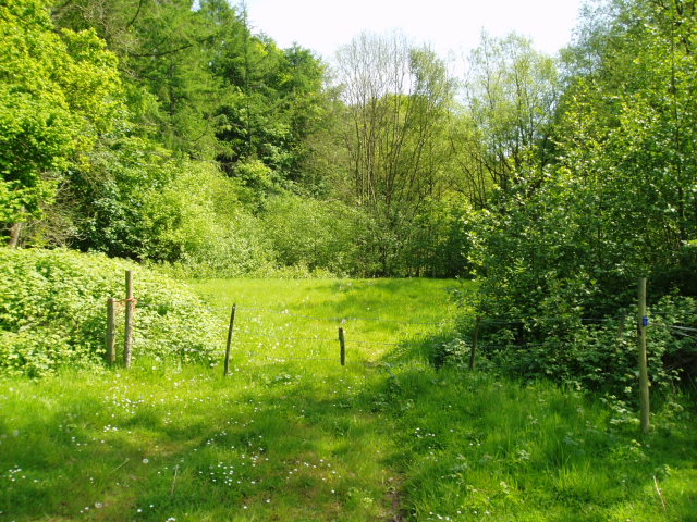
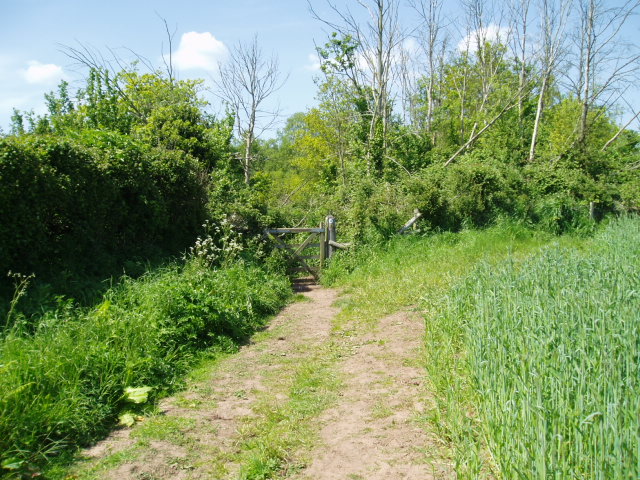
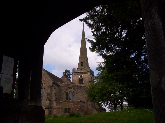
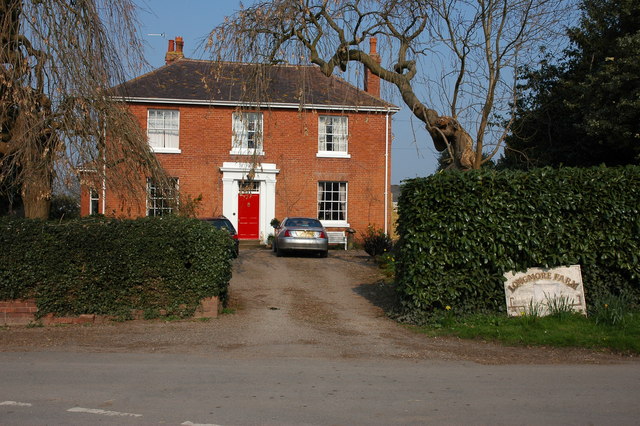
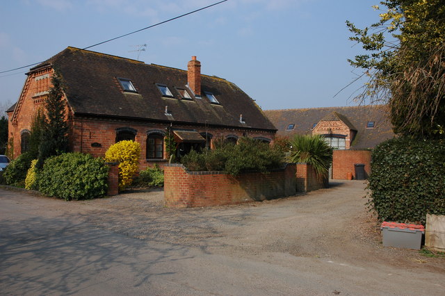
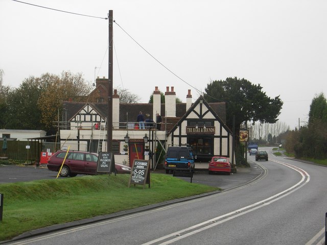
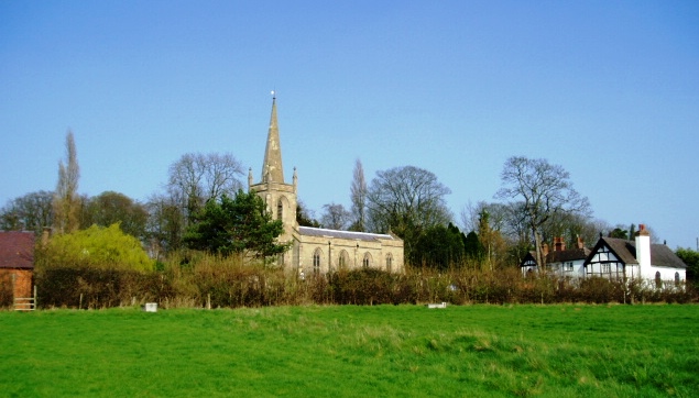
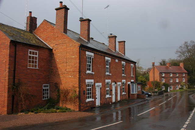
Harvington Hall Images

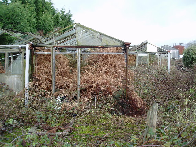
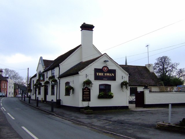
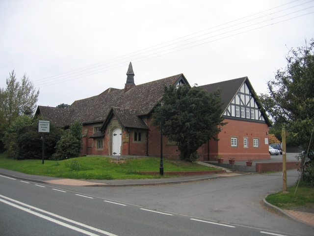
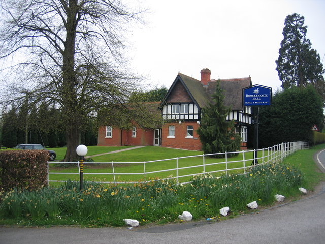
Images are sourced within 2km of 52.368/-2.181 or Grid Reference SO8774. Thanks to Geograph Open Source API. All images are credited.

Stone Church & School Taken from the footpath leading to the A448, to the south-west of the church. The school is the white building on the right of the photograph. The stile leading out on to the road is visible in the middle of the picture, on the left-hand side.
Stone Church & School
Taken from the footpath leading to the A448, to the south-west of the church. The school is the white building on the right of the photograph. The stile leading out on to the road is visible in the middle of the picture, on the left-hand side.
Harvington Hall Harvington Hall is a moated medieval and Elizabethan manor house, famous for its magnificent priest-holes.
Harvington Hall
Harvington Hall is a moated medieval and Elizabethan manor house, famous for its magnificent priest-holes.
Around Dunclent Picture taken from SO 86387 75602 from the track south-west of Dunclent House, shown on the OS map as a public footpath, looking north-east across pastureland.
Around Dunclent
Picture taken from SO 86387 75602 from the track south-west of Dunclent House, shown on the OS map as a public footpath, looking north-east across pastureland.
Around Dunclent Supplementary photograph taken from the public footpath at SO 86539 75769, looking north-east along the edge of the wood
Around Dunclent
Supplementary photograph taken from the public footpath at SO 86539 75769, looking north-east along the edge of the wood
Fenny Rough Supplementary photograph taken from the public footpath at SO 86396 75285, looking south-east into the steep-sided valley known as Fenny Rough
Fenny Rough
Supplementary photograph taken from the public footpath at SO 86396 75285, looking south-east into the steep-sided valley known as Fenny Rough
Farmland south of Mount Segg Picture taken looking north from SO87199 75871 at the point where the bridleway passes through the field boundary into the area of heathland shown in the adjacent northern square, SO 8776.
Farmland south of Mount Segg
Picture taken looking north from SO87199 75871 at the point where the bridleway passes through the field boundary into the area of heathland shown in the adjacent northern square, SO 8776.
Ruined greenhouses Situated in the triangle between two minor roads in the north-west section of the square, these greenhouses have clearly seen better times ! Picture taken from the minor road at SO 87117 73628.
Ruined greenhouses
Situated in the triangle between two minor roads in the north-west section of the square, these greenhouses have clearly seen better times ! Picture taken from the minor road at SO 87117 73628.
The Swan, Chaddesley Corbett Classic village local courtesy of the Black Country Brewery, Bathams.
The Swan, Chaddesley Corbett
Classic village local courtesy of the Black Country Brewery, Bathams.
Chaddesley Corbett Village Hall The hall is in Brockencote and was built in 1895 and much extended recently for the millennium.
Chaddesley Corbett Village Hall
The hall is in Brockencote and was built in 1895 and much extended recently for the millennium.
Entrance to Brockencote Hall The lodge at the start of the driveway to the hall.
Entrance to Brockencote Hall
The lodge at the start of the driveway to the hall.
The Hare and Hounds
The Hare and Hounds
Chaddesley Corbett St Cassian's Church A Norman font (Herefordshire School 1125-1150) complete with dragon resides inside.
Chaddesley Corbett St Cassian's Church
A Norman font (Herefordshire School 1125-1150) complete with dragon resides inside.
Longmore Farm near Cakebole
Holloway Farm, Chaddesley Corbett
Crossroads near Chaddesley Corbett
Farmland to the north of Chaddesley Corbett This track and field is to the north of Woodrow Lane.
Farmland to the north of Chaddesley Corbett
This track and field is to the north of Woodrow Lane.
Chaddesley Corbett Sports Field According to the signs on the building this sports field is used by both Chaddesley Corbett Cricket Club and the Rugby Club.
Chaddesley Corbett Sports Field
According to the signs on the building this sports field is used by both Chaddesley Corbett Cricket Club and the Rugby Club.
Converted farm buildings at Longmore Farm
Show me another place!

Harvington Hall is located at Grid Ref: SO8774 (Lat: 52.368, Lng: -2.181)

Administrative County: Worcestershire

District: Wyre Forest

Police Authority: West Mercia

What 3 Words

///moment.prepped.fans. Near Belbroughton, Worcestershire

Related Wikis

Harvington Hall

Harvington Hall is a moated medieval and Elizabethan manor house in the hamlet of Harvington in the civil parish of Chaddesley Corbett, southeast of Kidderminster...

Chaddesley Corbett

Chaddesley Corbett is a village and civil parish in the Wyre Forest District of Worcestershire, England. The Anglican and secular versions of the parish...

Spennells

Spennells is a suburb of Kidderminster, Worcestershire about a mile south of the town centre. It is located just to the east of the A449 and the railway...

Shenstone, Worcestershire

Shenstone is a village in Worcestershire, England, located near Kidderminster.

Stone, Worcestershire

Stone is a village and civil parish in the Wyre Forest District of Worcestershire, England. Of Anglo-Saxon origin, it lies two miles south-east of Kidderminster...

Tanwood

Tanwood is a hamlet in the English county of Worcestershire. It lies about one mile northeast of the village of Chaddesley Corbett and forms part of the...

Wyre Forest School

Wyre Forest School (formerly Stourminster Special School) is a school in Kidderminster, Worcestershire, for students with complex special needs, and...

Drayton, Worcestershire

Drayton is a hamlet in Worcestershire, England which remains part of the ecclesiastical parish of Chaddesley Corbett, which from its select vestry formed...

Nearby Amenities

Located within 500m of 52.368,-2.181
Harvington
Created By: Potlatch 0.10f
Place: village
Lat/Long: 52.3712406/-2.1857105
Bus Stop
Dog Inn
Bus: yes
Naptan AtcoCode: 2000G018700
Naptan Bearing: S
Naptan CommonName: Dog Inn
Naptan Indicator: adj
Naptan NaptanCode: wocdjmjd
Naptan PlusbusZoneRef: KDRMNST
Naptan Street: Stourbridge Road
Naptan Verified: no
Public Transport: platform
Source: naptan_import
Lat/Long: 52.3701971/-2.187169
Turning Circle
Lat/Long: 52.371587/-2.18368
Post Box
Post Box Type: pillar
Lat/Long: 52.3703628/-2.1870915
The data included in this document is from www.openstreetmap.org. The data is made available under ODbL.

Have you been to Harvington Hall?

Leave your review of Harvington Hall below (or comments, questions and feedback).