Harvington

Settlement in Worcestershire Wyre Forest

England

Harvington

Stone Church & School Taken from the footpath leading to the A448, to the south-west of the church. The school is the white building on the right of the photograph. The stile leading out on to the road is visible in the middle of the picture, on the left-hand side.
Stone Church & School Credit: Martyn B

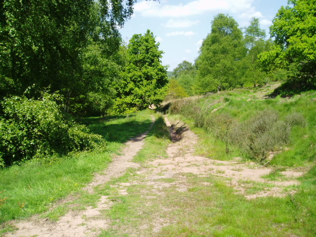
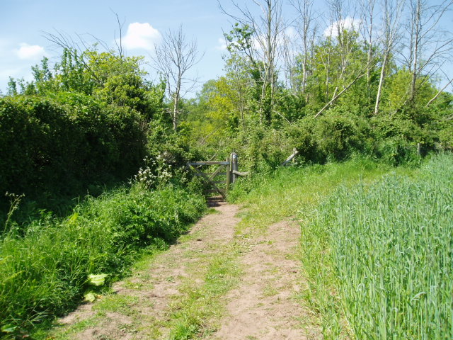
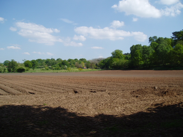
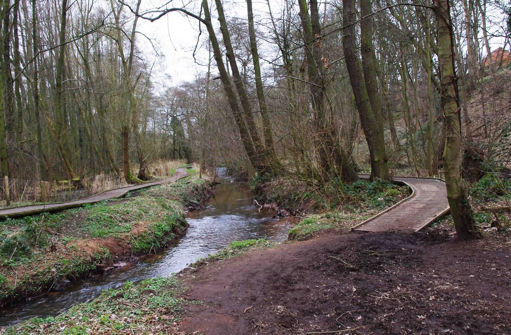
Harvington is a small village located in the county of Worcestershire, England. Situated about 10 miles south of Kidderminster, it lies in the heart of the picturesque Vale of Evesham. The village is surrounded by stunning countryside, characterized by rolling hills, lush meadows, and charming orchards.

Harvington has a rich history that dates back centuries. One of its most notable landmarks is Harvington Hall, an Elizabethan moated manor house. Built in the late 16th century, it is renowned for its well-preserved priest holes, secret hiding places used by Catholic clergy during the Reformation. Today, Harvington Hall is open to the public and offers a fascinating glimpse into the past.

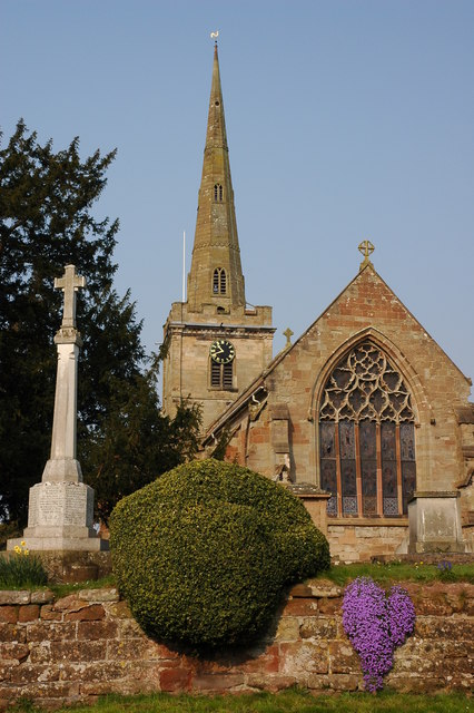
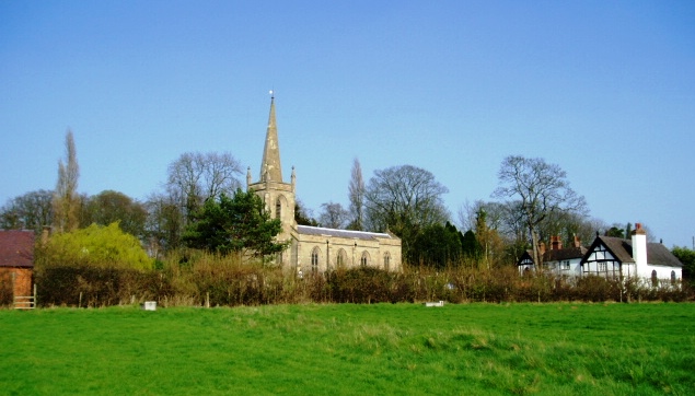
The village itself is relatively small, with a close-knit community of around 500 residents. It boasts a quaint village green and a beautiful church, St. James the Great, which dates back to the 12th century. The church is known for its unique Norman architecture and stunning stained glass windows.

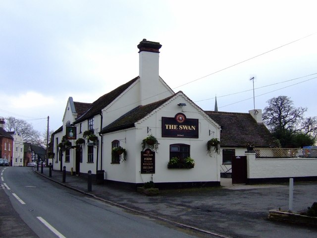
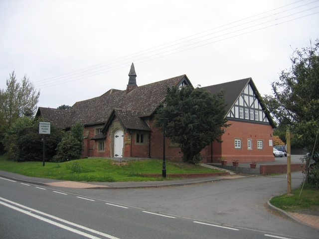
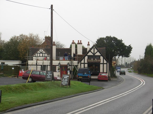
Despite its small size, Harvington has a strong sense of community spirit and offers a range of amenities. These include a village shop, a primary school, a community hall, and a pub serving traditional English fare.

Harvington's location in the heart of Worcestershire makes it an ideal base for exploring the surrounding countryside and nearby attractions. Visitors can enjoy scenic walks, cycling routes, and the opportunity to sample locally grown produce, particularly the renowned Worcestershire asparagus and plums during the harvest season.

If you have any feedback on the listing, please let us know in the comments section below.
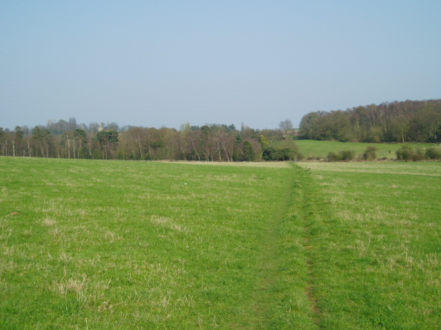
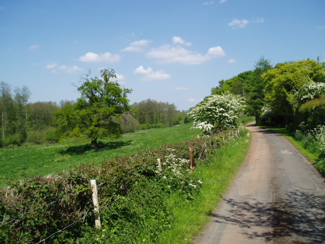
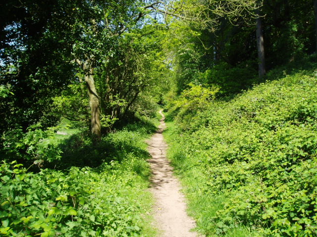
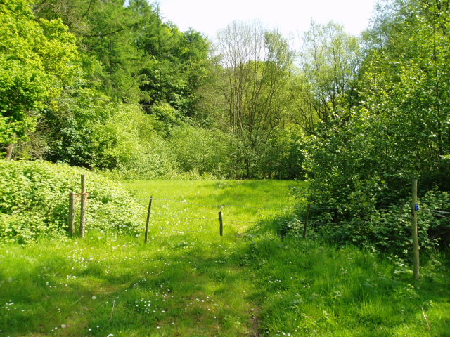
Harvington Images

Images are sourced within 2km of 52.368999/-2.186352 or Grid Reference SO8774. Thanks to Geograph Open Source API. All images are credited.

Stone Church & School Taken from the footpath leading to the A448, to the south-west of the church. The school is the white building on the right of the photograph. The stile leading out on to the road is visible in the middle of the picture, on the left-hand side.
Stone Church & School
Taken from the footpath leading to the A448, to the south-west of the church. The school is the white building on the right of the photograph. The stile leading out on to the road is visible in the middle of the picture, on the left-hand side.
Around Stanklyn Picture taken looking east along the public footpath leading to Stanklyn Lane, from grid reference SO85175 74444, directly under the power lines. Stanklyn Wood can be seen on the higher ground to the right of the picture, and the spire of Stone Church (see image in adjacent square) is just visible above the tree-line towards the left.
Around Stanklyn
Picture taken looking east along the public footpath leading to Stanklyn Lane, from grid reference SO85175 74444, directly under the power lines. Stanklyn Wood can be seen on the higher ground to the right of the picture, and the spire of Stone Church (see image in adjacent square) is just visible above the tree-line towards the left.
Harvington Hall Harvington Hall is a moated medieval and Elizabethan manor house, famous for its magnificent priest-holes.
Harvington Hall
Harvington Hall is a moated medieval and Elizabethan manor house, famous for its magnificent priest-holes.
Around Dunclent Picture taken from SO 86387 75602 from the track south-west of Dunclent House, shown on the OS map as a public footpath, looking north-east across pastureland.
Around Dunclent
Picture taken from SO 86387 75602 from the track south-west of Dunclent House, shown on the OS map as a public footpath, looking north-east across pastureland.
Around Dunclent Supplementary photograph taken from the public footpath at SO 86539 75769, looking north-east along the edge of the wood
Around Dunclent
Supplementary photograph taken from the public footpath at SO 86539 75769, looking north-east along the edge of the wood
Fenny Rough Supplementary photograph taken from the public footpath at SO 86396 75285, looking south-east into the steep-sided valley known as Fenny Rough
Fenny Rough
Supplementary photograph taken from the public footpath at SO 86396 75285, looking south-east into the steep-sided valley known as Fenny Rough
Mount Segg Sandwiched between the farmland of Mearse Farm and the woodland of Mount Segg is a small area of semi-open heathland through which a bridleway passes. Picture taken from the bridleway looking north-northeast down the heathland at SO 87189 76068.
Mount Segg
Sandwiched between the farmland of Mearse Farm and the woodland of Mount Segg is a small area of semi-open heathland through which a bridleway passes. Picture taken from the bridleway looking north-northeast down the heathland at SO 87189 76068.
Farmland south of Mount Segg Picture taken looking north from SO87199 75871 at the point where the bridleway passes through the field boundary into the area of heathland shown in the adjacent northern square, SO 8776.
Farmland south of Mount Segg
Picture taken looking north from SO87199 75871 at the point where the bridleway passes through the field boundary into the area of heathland shown in the adjacent northern square, SO 8776.
Farmland east of Mount Segg Picture taken from the bridleway at SO 87265 76335 on the north-east side of Mount Segg, looking east across open farmland towards Mearse Farm.
Farmland east of Mount Segg
Picture taken from the bridleway at SO 87265 76335 on the north-east side of Mount Segg, looking east across open farmland towards Mearse Farm.
Ruined greenhouses Situated in the triangle between two minor roads in the north-west section of the square, these greenhouses have clearly seen better times ! Picture taken from the minor road at SO 87117 73628.
Ruined greenhouses
Situated in the triangle between two minor roads in the north-west section of the square, these greenhouses have clearly seen better times ! Picture taken from the minor road at SO 87117 73628.
The Swan, Chaddesley Corbett Classic village local courtesy of the Black Country Brewery, Bathams.
The Swan, Chaddesley Corbett
Classic village local courtesy of the Black Country Brewery, Bathams.
Chaddesley Corbett Village Hall The hall is in Brockencote and was built in 1895 and much extended recently for the millennium.
Chaddesley Corbett Village Hall
The hall is in Brockencote and was built in 1895 and much extended recently for the millennium.
Entrance to Brockencote Hall The lodge at the start of the driveway to the hall.
Entrance to Brockencote Hall
The lodge at the start of the driveway to the hall.
The Hare and Hounds
The Hare and Hounds
Holloway Farm, Chaddesley Corbett
Crossroads near Chaddesley Corbett
Farmland to the north of Chaddesley Corbett This track and field is to the north of Woodrow Lane.
Farmland to the north of Chaddesley Corbett
This track and field is to the north of Woodrow Lane.
Chaddesley Corbett church and War Memorial Chaddesley Corbett church is dedicated to St Cassian.
Chaddesley Corbett church and War Memorial
Chaddesley Corbett church is dedicated to St Cassian.
Show me another place!

Harvington is located at Grid Ref: SO8774 (Lat: 52.368999, Lng: -2.186352)

Administrative County: Worcestershire

District: Wyre Forest

Police Authority: West Mercia

What 3 Words

///submitted.chip.punctured. Near Kidderminster, Worcestershire

Related Wikis

Harvington Hall

Harvington Hall is a moated medieval and Elizabethan manor house in the hamlet of Harvington in the civil parish of Chaddesley Corbett, southeast of Kidderminster...

Spennells

Spennells is a suburb of Kidderminster, Worcestershire about a mile south of the town centre. It is located just to the east of the A449 and the railway...

Shenstone, Worcestershire

Shenstone is a village in Worcestershire, England, located near Kidderminster.

Stone, Worcestershire

Stone is a village and civil parish in the Wyre Forest District of Worcestershire, England. Of Anglo-Saxon origin, it lies two miles south-east of Kidderminster...

Chaddesley Corbett

Chaddesley Corbett is a village and civil parish in the Wyre Forest District of Worcestershire, England. The Anglican and secular versions of the parish...

Wyre Forest School

Wyre Forest School (formerly Stourminster Special School) is a school in Kidderminster, Worcestershire, for students with complex special needs, and...

Tanwood

Tanwood is a hamlet in the English county of Worcestershire. It lies about one mile northeast of the village of Chaddesley Corbett and forms part of the...

Spennells Valley

Spennells Valley is a local nature reserve in south-east Kidderminster, in Worcestershire, England. == Description == It was declared a local nature reserve...

Nearby Amenities

Located within 500m of 52.368999,-2.186352
Harvington
Created By: Potlatch 0.10f
Place: village
Lat/Long: 52.3712406/-2.1857105
Bus Stop
Dog Inn
Bus: yes
Naptan AtcoCode: 2000G018700
Naptan Bearing: S
Naptan CommonName: Dog Inn
Naptan Indicator: adj
Naptan NaptanCode: wocdjmjd
Naptan PlusbusZoneRef: KDRMNST
Naptan Street: Stourbridge Road
Naptan Verified: no
Public Transport: platform
Source: naptan_import
Lat/Long: 52.3701971/-2.187169
Bus Stop
Dog Inn
Bus: yes
Naptan AtcoCode: 2000G718700
Naptan Bearing: N
Naptan BusStopType: CUS
Naptan CommonName: Dog Inn
Naptan Indicator: opp
Naptan NaptanCode: wocdwawa
Naptan PlusbusZoneRef: KDRMNST
Naptan Street: Stourbridge Road
Naptan Verified: no
Public Transport: platform
Source: naptan_import
Lat/Long: 52.3703857/-2.1872726
Turning Circle
Lat/Long: 52.371587/-2.18368
Post Box
Post Box Type: pillar
Lat/Long: 52.3703628/-2.1870915
The data included in this document is from www.openstreetmap.org. The data is made available under ODbL.

Have you been to Harvington?

Leave your review of Harvington below (or comments, questions and feedback).