Mustow Green

Settlement in Worcestershire Wyre Forest

England

Mustow Green

Stone Church & School Taken from the footpath leading to the A448, to the south-west of the church. The school is the white building on the right of the photograph. The stile leading out on to the road is visible in the middle of the picture, on the left-hand side.
Stone Church & School Credit: Martyn B

Mustow Green is a small hamlet located in the county of Worcestershire, England. Situated approximately 4 miles north of the town of Droitwich, it is nestled in the beautiful countryside of the West Midlands. The hamlet is surrounded by rolling hills and farmland, providing a tranquil and picturesque setting.

Although small in size, Mustow Green has a rich history. It is believed to have been settled since Roman times, as evidenced by the discovery of Roman coins and pottery in the area. Over the centuries, it has remained a rural community, with agriculture being the primary industry.

The hamlet itself consists of a cluster of traditional stone houses, some of which date back several centuries. These charming properties are set along a winding country lane, adding to the area's rustic charm. Despite its rural setting, Mustow Green benefits from good road connections, with the A38 and M5 motorway within easy reach, providing convenient access to nearby towns and cities.

While Mustow Green may lack in amenities, it more than compensates with its natural beauty and tranquility. The surrounding countryside offers ample opportunities for outdoor activities such as walking, cycling, and horseback riding. The nearby Droitwich Spa provides residents with easy access to a range of shops, schools, and other amenities.

In summary, Mustow Green is a small, historic hamlet in Worcestershire, boasting a beautiful rural landscape and a peaceful atmosphere. It is an idyllic place for those seeking a quiet and picturesque countryside retreat.

If you have any feedback on the listing, please let us know in the comments section below.
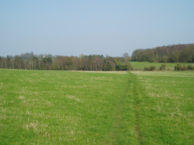
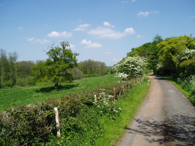
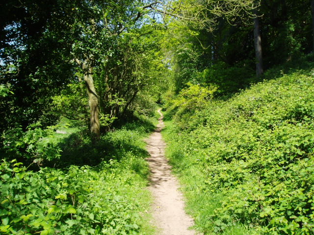
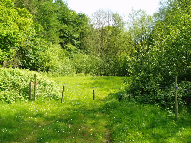
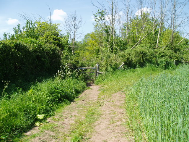
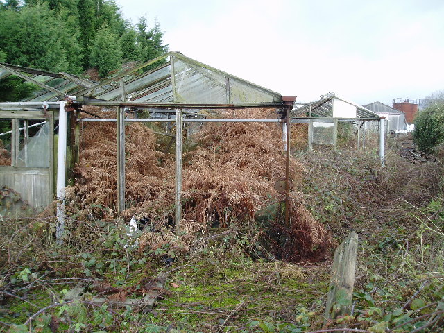
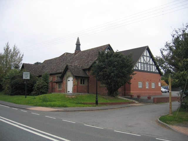
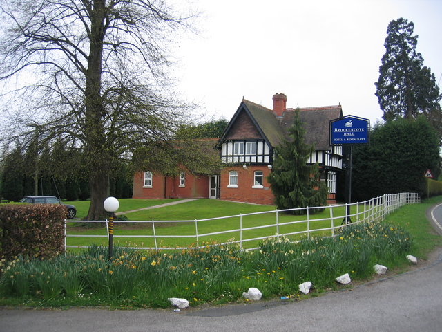
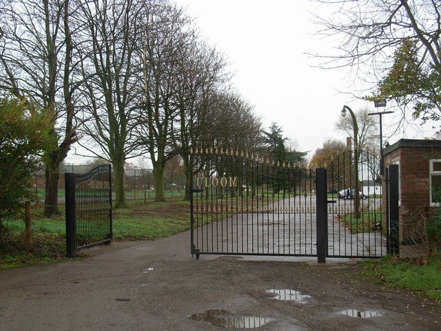
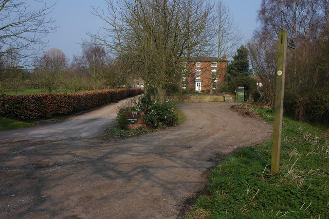
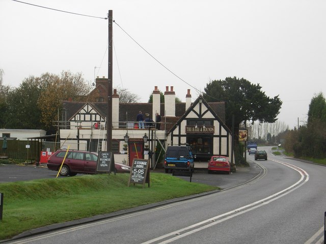
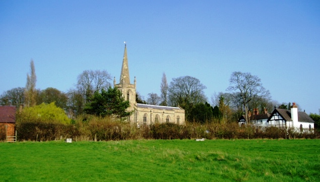
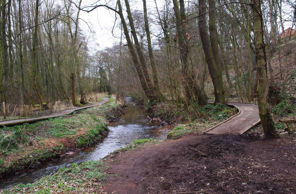
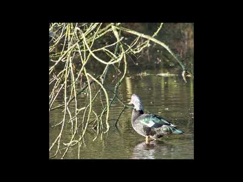
Mustow Green Images

Images are sourced within 2km of 52.365306/-2.190889 or Grid Reference SO8774. Thanks to Geograph Open Source API. All images are credited.

Stone Church & School Taken from the footpath leading to the A448, to the south-west of the church. The school is the white building on the right of the photograph. The stile leading out on to the road is visible in the middle of the picture, on the left-hand side.
Stone Church & School
Taken from the footpath leading to the A448, to the south-west of the church. The school is the white building on the right of the photograph. The stile leading out on to the road is visible in the middle of the picture, on the left-hand side.
Around Stanklyn Picture taken looking east along the public footpath leading to Stanklyn Lane, from grid reference SO85175 74444, directly under the power lines. Stanklyn Wood can be seen on the higher ground to the right of the picture, and the spire of Stone Church (see image in adjacent square) is just visible above the tree-line towards the left.
Around Stanklyn
Picture taken looking east along the public footpath leading to Stanklyn Lane, from grid reference SO85175 74444, directly under the power lines. Stanklyn Wood can be seen on the higher ground to the right of the picture, and the spire of Stone Church (see image in adjacent square) is just visible above the tree-line towards the left.
Harvington Hall Harvington Hall is a moated medieval and Elizabethan manor house, famous for its magnificent priest-holes.
Harvington Hall
Harvington Hall is a moated medieval and Elizabethan manor house, famous for its magnificent priest-holes.
Around Dunclent Picture taken from SO 86387 75602 from the track south-west of Dunclent House, shown on the OS map as a public footpath, looking north-east across pastureland.
Around Dunclent
Picture taken from SO 86387 75602 from the track south-west of Dunclent House, shown on the OS map as a public footpath, looking north-east across pastureland.
Around Dunclent Supplementary photograph taken from the public footpath at SO 86539 75769, looking north-east along the edge of the wood
Around Dunclent
Supplementary photograph taken from the public footpath at SO 86539 75769, looking north-east along the edge of the wood
Fenny Rough Supplementary photograph taken from the public footpath at SO 86396 75285, looking south-east into the steep-sided valley known as Fenny Rough
Fenny Rough
Supplementary photograph taken from the public footpath at SO 86396 75285, looking south-east into the steep-sided valley known as Fenny Rough
Farmland south of Mount Segg Picture taken looking north from SO87199 75871 at the point where the bridleway passes through the field boundary into the area of heathland shown in the adjacent northern square, SO 8776.
Farmland south of Mount Segg
Picture taken looking north from SO87199 75871 at the point where the bridleway passes through the field boundary into the area of heathland shown in the adjacent northern square, SO 8776.
Ruined greenhouses Situated in the triangle between two minor roads in the north-west section of the square, these greenhouses have clearly seen better times ! Picture taken from the minor road at SO 87117 73628.
Ruined greenhouses
Situated in the triangle between two minor roads in the north-west section of the square, these greenhouses have clearly seen better times ! Picture taken from the minor road at SO 87117 73628.
Chaddesley Corbett Village Hall The hall is in Brockencote and was built in 1895 and much extended recently for the millennium.
Chaddesley Corbett Village Hall
The hall is in Brockencote and was built in 1895 and much extended recently for the millennium.
Entrance to Brockencote Hall The lodge at the start of the driveway to the hall.
Entrance to Brockencote Hall
The lodge at the start of the driveway to the hall.
The Hare and Hounds
The Hare and Hounds
Madinatululoom Main entrance to the Islamic college
Madinatululoom
Main entrance to the Islamic college
Cakebole House Farm
Cakebole House Farm
Gate to a field at Cakebole This field is opposite Cakebole House Farm.
Gate to a field at Cakebole
This field is opposite Cakebole House Farm.
The Monarch's Way near New House Farm The Monarch's Way here heads off to Harvington Hall. The path follows the route taken by Charles II to escape to France following his Civil War defeat by Cromwell in the Battle of Worcester in 1651. This LDP certainly lives up to its name being 610 miles long!
<span class="nowrap"><a title="http://www.walkingpages.co.uk/trails_paths/LDP_monarchsway.htm" rel="nofollow ugc noopener" href="http://www.walkingpages.co.uk/trails_paths/LDP_monarchsway.htm">Link</a><img style="margin-left:2px;" alt="External link" title="External link - shift click to open in new window" src="https://s1.geograph.org.uk/img/external.png" width="10" height="10"/></span>
<span class="nowrap"><a title="http://www.ramblers.org.uk/info/paths/monarchs.html" rel="nofollow ugc noopener" href="http://www.ramblers.org.uk/info/paths/monarchs.html">Link</a><img style="margin-left:2px;" alt="External link" title="External link - shift click to open in new window" src="https://s1.geograph.org.uk/img/external.png" width="10" height="10"/></span>
The Monarch's Way near New House Farm
The Monarch's Way here heads off to Harvington Hall. The path follows the route taken by Charles II to escape to France following his Civil War defeat by Cromwell in the Battle of Worcester in 1651. This LDP certainly lives up to its name being 610 miles long! LinkExternal link LinkExternal link
Corn field near New House Farm
Harvington Hall This moated Elizabethan House was built in the 1580s by Humphrey Pakington. 
Many of the rooms still have their original Elizabethan wall-paintings and the Hall claims the finest series of priest-holes anywhere in the country.

In 1696 the Hall passed to the Throckmortons of Coughton Court in Warwickshire, who owned it until 1923 when it was bought for the Roman Catholic Archdiocese of Birmingham, which restored it and now opens it to the public.
Harvington Hall
This moated Elizabethan House was built in the 1580s by Humphrey Pakington. Many of the rooms still have their original Elizabethan wall-paintings and the Hall claims the finest series of priest-holes anywhere in the country. In 1696 the Hall passed to the Throckmortons of Coughton Court in Warwickshire, who owned it until 1923 when it was bought for the Roman Catholic Archdiocese of Birmingham, which restored it and now opens it to the public.
Harvington Hall (detail) and moat Moated Elizabethan manor house, with secret chapels and priest hides. Owned by the RC Archdiocese of Birmingham.
Harvington Hall (detail) and moat
Moated Elizabethan manor house, with secret chapels and priest hides. Owned by the RC Archdiocese of Birmingham.
Show me another place!

Mustow Green is located at Grid Ref: SO8774 (Lat: 52.365306, Lng: -2.190889)

Administrative County: Worcestershire

District: Wyre Forest

Police Authority: West Mercia

What 3 Words

///porch.heaven.backdrop. Near Kidderminster, Worcestershire

Related Wikis

Harvington Hall

Harvington Hall is a moated medieval and Elizabethan manor house in the hamlet of Harvington in the civil parish of Chaddesley Corbett, southeast of Kidderminster...

Spennells

Spennells is a suburb of Kidderminster, Worcestershire about a mile south of the town centre. It is located just to the east of the A449 and the railway...

Shenstone, Worcestershire

Shenstone is a village in Worcestershire, England, located near Kidderminster.

Stone, Worcestershire

Stone is a village and civil parish in the Wyre Forest District of Worcestershire, England. Of Anglo-Saxon origin, it lies two miles south-east of Kidderminster...

Chaddesley Corbett

Chaddesley Corbett is a village and civil parish in the Wyre Forest District of Worcestershire, England. The Anglican and secular versions of the parish...

Wyre Forest School

Wyre Forest School (formerly Stourminster Special School) is a school in Kidderminster, Worcestershire, for students with complex special needs, and...

Spennells Valley

Spennells Valley is a local nature reserve in south-east Kidderminster, in Worcestershire, England. == Description == It was declared a local nature reserve...

Tanwood

Tanwood is a hamlet in the English county of Worcestershire. It lies about one mile northeast of the village of Chaddesley Corbett and forms part of the...

Related Videos

Stone Church - DJi Pocket 2 Test - 1080p 30fps

Still getting used to this amazing little camera.

Harvington Hall in Worcestershire England

Harvington Hall is a moated medieval and Elizabethan manor house in Chaddesley Corbett, south-east of Kidderminster in the ...

6 February 2023

Brockencote Hall A stunning frosty morning at a famous local hotel with amazing grounds The music used in the video is royalty ...

The Attic at Harvington hall

A very rare chance to see the attic at Harvington Hall.

Nearby Amenities

Located within 500m of 52.365306,-2.190889
Mustow Green Island
Naptan AtcoCode: 2000G018800
Naptan Bearing: N
Naptan BusStopType: CUS
Naptan CommonName: Mustow Green Island
Naptan Indicator: adj
Naptan Landmark: Shelter
Naptan NaptanCode: wocdjmjg
Naptan PlusbusZoneRef: KDRMNST
Naptan Street: Kidderminster Road
Naptan Verified: no
Source: naptan_import
Lat/Long: 52.3658442/-2.1936714
Mustow Green Island
Naptan AtcoCode: 2000G581597
Naptan Bearing: SE
Naptan BusStopType: CUS
Naptan CommonName: Mustow Green Island
Naptan Indicator: opp
Naptan Landmark: Shelter
Naptan NaptanCode: wocgmwgm
Naptan PlusbusZoneRef: KDRMNST
Naptan Street: Kidderminster Road
Naptan Verified: no
Source: naptan_import
Lat/Long: 52.36606/-2.1936576
Mustow Green
Is In: Worcestershire, UK
Place: hamlet
Lat/Long: 52.3655347/-2.1927389
Source: Bing
Lat/Long: 52.3651154/-2.1927113
Post Box
Post Box Type: lamp
Lat/Long: 52.3652077/-2.1943903
The data included in this document is from www.openstreetmap.org. The data is made available under ODbL.

Have you been to Mustow Green?

Leave your review of Mustow Green below (or comments, questions and feedback).