Fountains and Studley Royal
Heritage Site in Yorkshire
England
Fountains and Studley Royal
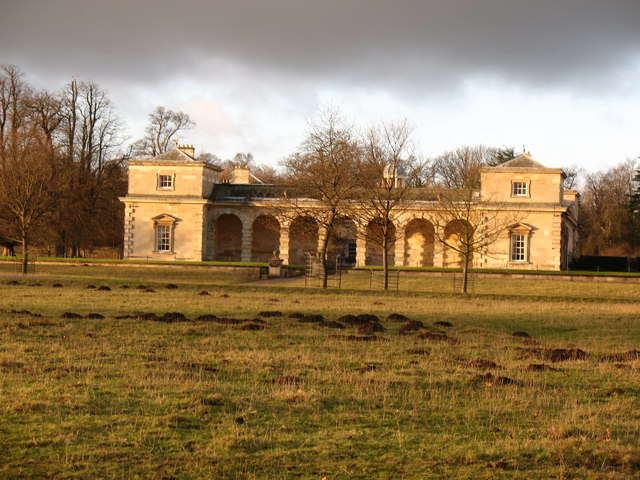
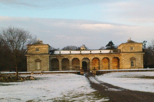
Fountains and Studley Royal is a renowned heritage site located in North Yorkshire, England. It encompasses the ruins of Fountains Abbey, a Cistercian monastery, and the landscaped gardens of Studley Royal Park. The site is a popular tourist destination due to its historical significance, architectural beauty, and picturesque landscapes.
Fountains Abbey, founded in 1132, was once one of the wealthiest monasteries in England. Today, visitors can explore the stunning ruins of the abbey, which give a glimpse into medieval monastic life. The intricate stonework and grandeur of the abbey's structures, such as the towering Gothic church, are awe-inspiring.
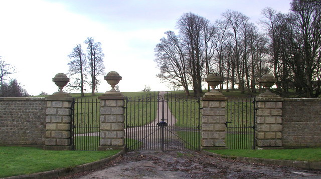
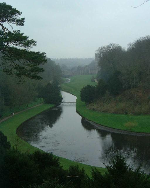
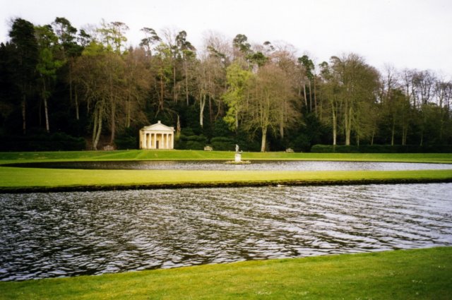
Adjacent to the abbey, Studley Royal Park features beautifully designed gardens, water features, and statues. Created in the 18th century by John Aislabie, the park is considered one of the finest examples of Georgian landscape design in the country. The highlight of the park is the Moon Pond, a large mirror-like pool reflecting the surrounding trees and sky.
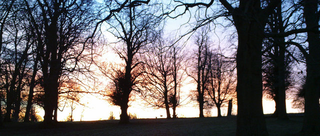
The park also boasts the breathtaking Studley Royal Water Garden, a series of interconnected lakes, canals, and cascades. Visitors can wander along the winding paths, crossing ornate bridges and enjoying the serenity of the water features. The garden is known for its stunning vistas and tranquil atmosphere, making it a haven for nature lovers and photographers alike.
Fountains and Studley Royal has been recognized as a UNESCO World Heritage Site since 1986, acknowledging its cultural and natural significance. It offers visitors a unique opportunity to immerse themselves in history, architecture, and the beauty of the natural world.
If you have any feedback on the listing, please let us know in the comments section below.
Fountains and Studley Royal Images
Images are sourced within 2km of 54.11/-1.587 or Grid Reference SE2768. Thanks to Geograph Open Source API. All images are credited.


Fountains and Studley Royal is located at Grid Ref: SE2768 (Lat: 54.11, Lng: -1.587)
Division: West Riding
Police Authority: North Yorkshire
What 3 Words
///canyons.rotations.spurring. Near Ripon, North Yorkshire
Related Wikis

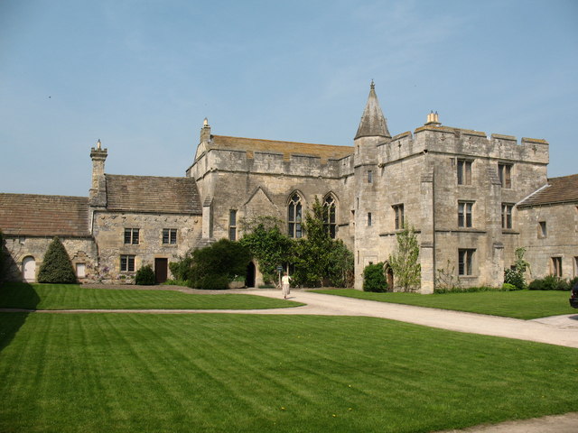
Fountains Hall
Fountains Hall is a country house near Ripon in North Yorkshire, England, located within the World Heritage Site at Studley Royal Park which include the...

Fountains Abbey
Fountains Abbey is one of the largest and best preserved ruined Cistercian monasteries in England. It is located approximately 3 miles (5 km) south-west...
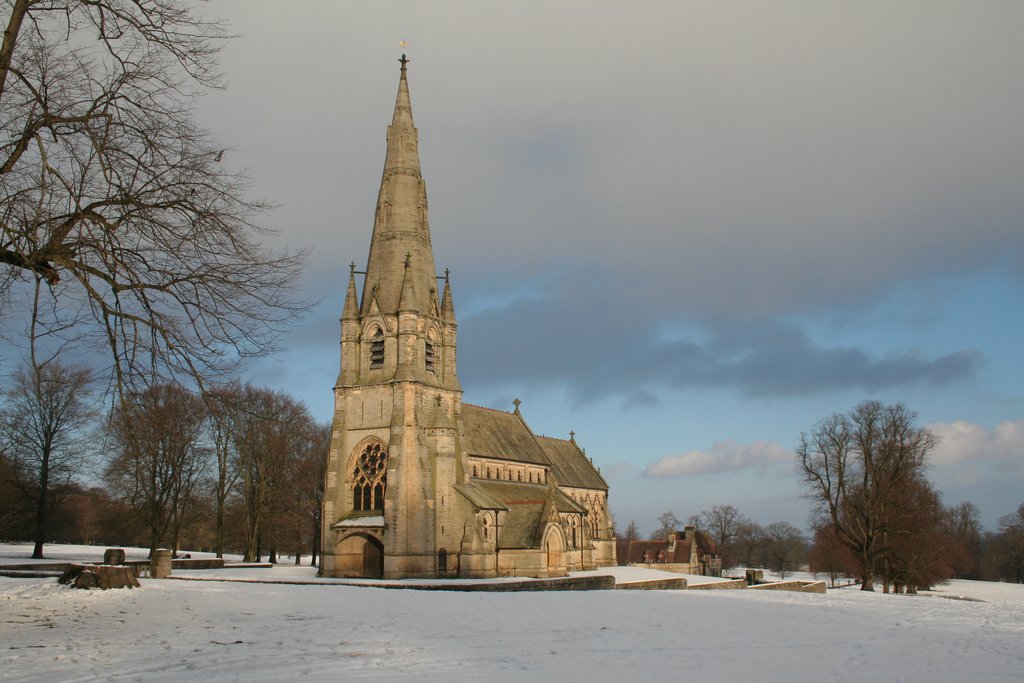
St Mary's, Studley Royal
The Church of St Mary, Studley Royal, is a Victorian Gothic Revival church built in the Early English style by William Burges. It is located in the grounds...

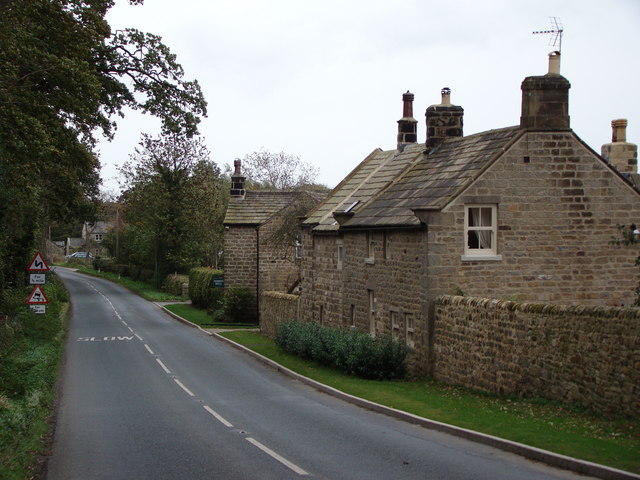
Aldfield
Aldfield is a village and civil parish in the former Harrogate district of North Yorkshire, England, about three miles west of Ripon. It is the closest...

Sawley, North Yorkshire
Sawley is a village and civil parish in the Harrogate district of North Yorkshire, England. It is about 4 miles (6.4 km) west of Ripon. From this position...
Risplith
Risplith is a village in the civil parish of Sawley, in the Harrogate district of North Yorkshire, England. It is about 4 miles (6.4 km) west of Ripon...

Studley Roger
Studley Roger is a small village and civil parish in the Harrogate district of North Yorkshire, England, and it is about 1 mile west of the historical...
Markenfield Hall
Markenfield Hall is an early 14th-century moated manor house about 3 miles (5 km) south of Ripon, North Yorkshire, England. It is in the civil parish of...
Nearby Amenities
Located within 500m of 54.11,-1.587Have you been to Fountains and Studley Royal?
Leave your review of Fountains and Studley Royal below (or comments, questions and feedback).