Drum Falls

Waterfall in Yorkshire Harrogate

England

Drum Falls

Studley Lane heading north
Studley Lane heading north Credit: JThomas

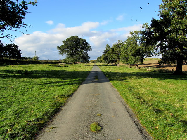
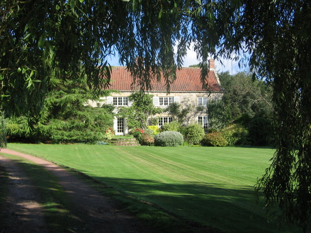
Drum Falls, located in Yorkshire, is a picturesque and captivating waterfall that attracts visitors from all over. Nestled in the heart of the rugged and stunning Yorkshire countryside, this natural wonder is a sight to behold.

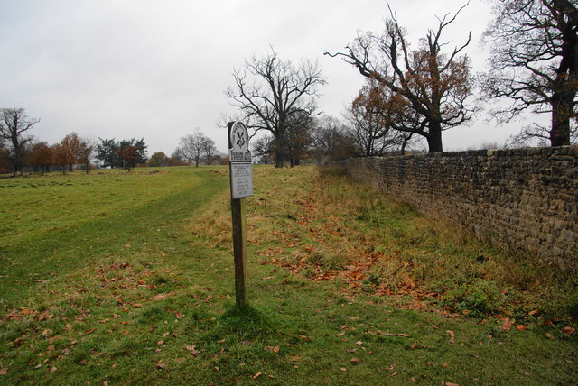
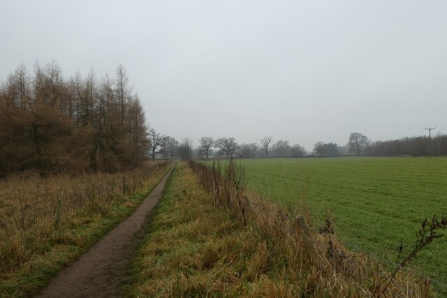
The cascading waterfall is situated in a serene and tranquil setting, surrounded by lush greenery and towering trees that enhance its natural beauty. The picturesque scenery makes it a popular spot for nature lovers, hikers, and photographers alike.

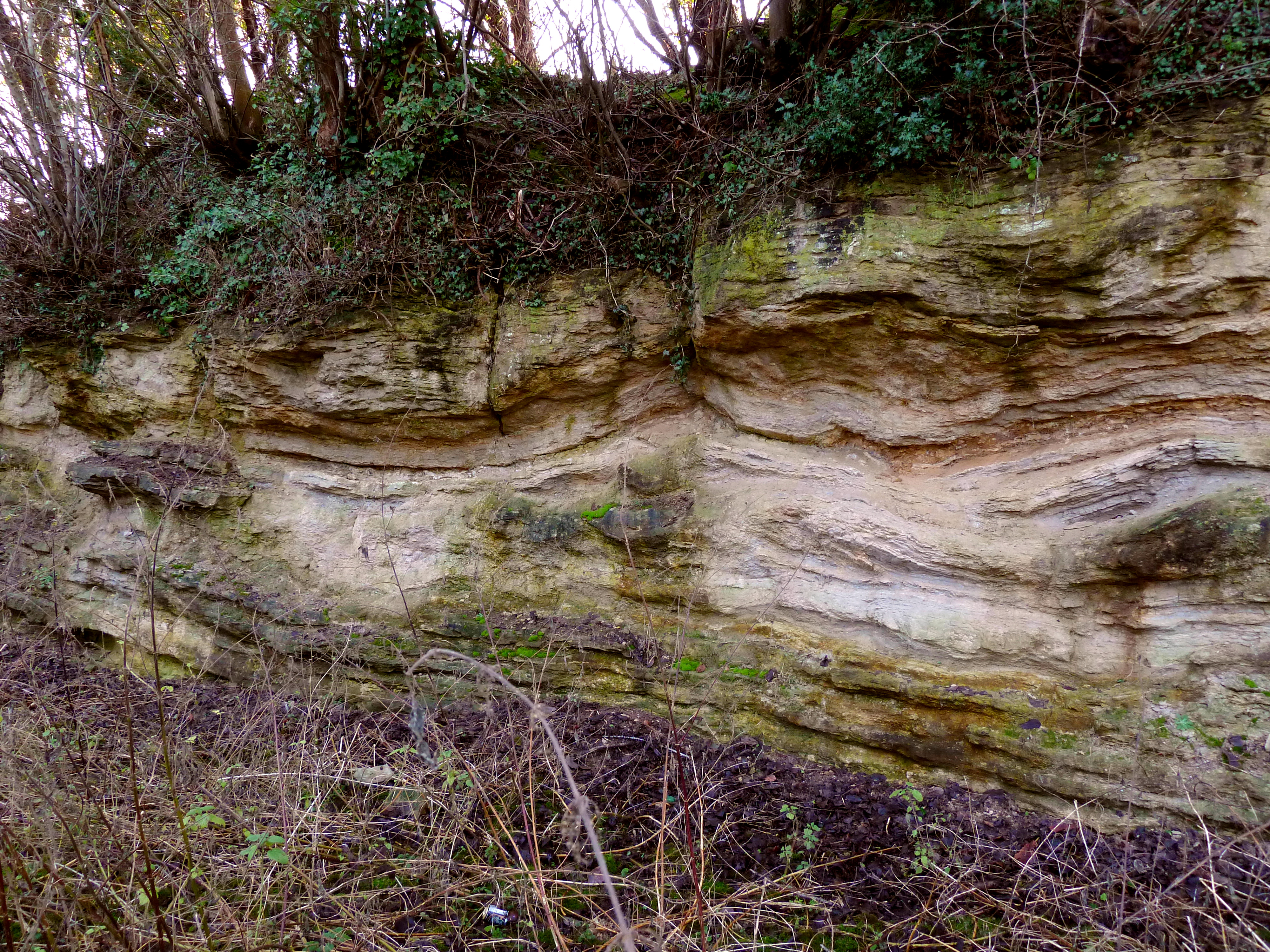
Drum Falls is formed by the River Drum, which flows through the rocky terrain, creating a breathtaking display of water plunging into a pool below. The waterfall stands at an impressive height, providing a mesmerizing sight and a soothing sound as the water crashes against the rocks.

Visitors can enjoy a leisurely stroll along the well-maintained footpaths that lead to Drum Falls, immersing themselves in the peaceful ambiance of the surroundings. The area also offers opportunities for picnicking, birdwatching, and simply basking in the tranquility of nature.

Accessible throughout the year, Drum Falls presents a different charm in each season. In the spring and summer months, the surrounding flora flourishes, adding vibrant colors to the landscape. In autumn, the foliage transforms into a kaleidoscope of oranges and reds, creating a breathtaking backdrop for the waterfall. Even in winter, when the falls may be partially frozen, the ethereal beauty of Drum Falls remains.

Overall, Drum Falls in Yorkshire is a natural marvel that showcases the stunning beauty of the region. Whether for a peaceful getaway or a chance to connect with nature, this waterfall provides an unforgettable experience for all who visit.

If you have any feedback on the listing, please let us know in the comments section below.
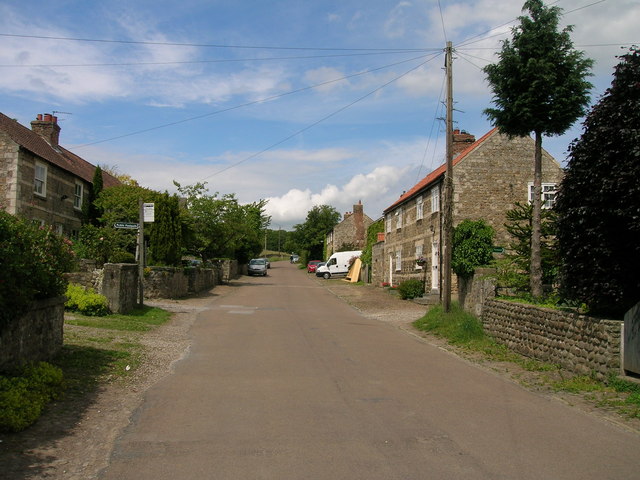
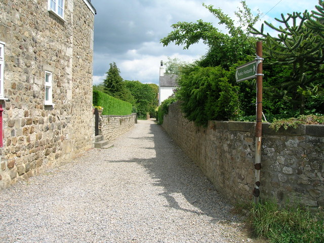
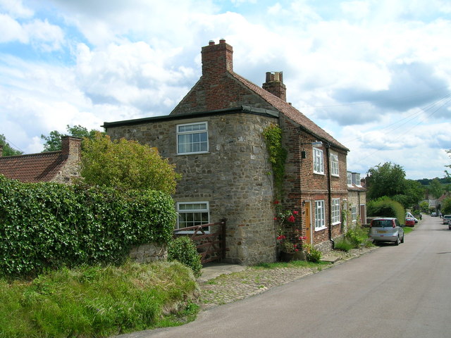
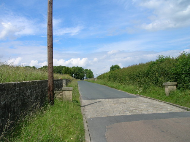
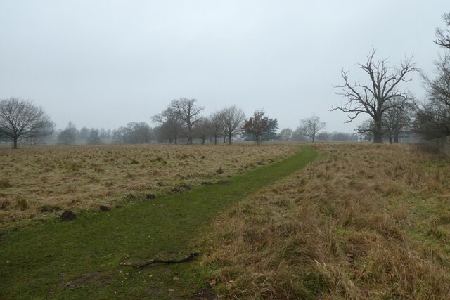
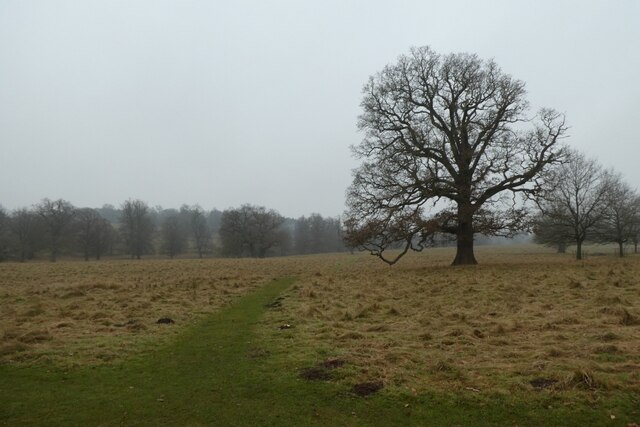
Drum Falls Images

Images are sourced within 2km of 54.11352/-1.5742527 or Grid Reference SE2768. Thanks to Geograph Open Source API. All images are credited.

Studley Lane heading north
Footpath running east from Studley Roger
Cottage, Studley Roger
Studley Lane heading north
Access Lane to Low Lindrick An arrow straight access lane leaves the B6265 and runs north for almost a kilometre to reach Low Lindrick
Access Lane to Low Lindrick
An arrow straight access lane leaves the B6265 and runs north for almost a kilometre to reach Low Lindrick
The edge of Studley Royal deer park It is National Trust land but there is no restriction on entering this part. The Fountains Abbey site adjoining requires proper admission.
The edge of Studley Royal deer park
It is National Trust land but there is no restriction on entering this part. The Fountains Abbey site adjoining requires proper admission.
Footpath to Studley Roger The path has left Studley Royal deer park, and the houses of Studley Roger are appearing ahead.
Footpath to Studley Roger
The path has left Studley Royal deer park, and the houses of Studley Roger are appearing ahead.
Footpath in Studley Roger The path crosses the main village street and continues ahead towards Ripon. It is seen here on a wet day.
Footpath in Studley Roger
The path crosses the main village street and continues ahead towards Ripon. It is seen here on a wet day.
Reservoir at White Fields Old maps refer to this as having belonged to the former "Ripon Corporation Water Works". <a href="https://www.geograph.org.uk/photo/3272518">SE3070 : Old Pipe across the River Skell</a>
Reservoir at White Fields
Old maps refer to this as having belonged to the former "Ripon Corporation Water Works". SE3070 : Old Pipe across the River Skell
Arriving at Studley Roger on the footpath from the west
Path near Studley Roger Looking towards the village along a hedge lined footpath.
Path near Studley Roger
Looking towards the village along a hedge lined footpath.
Lane in Studley Roger A footpath meets this lane in the village.
Lane in Studley Roger
A footpath meets this lane in the village.
Studley Lane Looking along Studley Lane in Studley Roger.
Studley Lane
Looking along Studley Lane in Studley Roger.
Path west of Studley Roger Leading to the deer park.
Path west of Studley Roger
Leading to the deer park.
Path west of Studley Roger Looking towards the village on a path from the deer park.
Path west of Studley Roger
Looking towards the village on a path from the deer park.
Path on the edge of the deer park Looking along a path on the perimeter of the deer park where the path from Studley Roger enters the park.
Path on the edge of the deer park
Looking along a path on the perimeter of the deer park where the path from Studley Roger enters the park.
Path over the deer park Looking along a path across the deer park from where the footpath from Studley Roger enters the park.
Path over the deer park
Looking along a path across the deer park from where the footpath from Studley Roger enters the park.
Footpath to Studley Royal Park from Studley Roger
Show me another place!

Drum Falls is located at Grid Ref: SE2768 (Lat: 54.11352, Lng: -1.5742527)

Division: West Riding

Administrative County: North Yorkshire

District: Harrogate

Police Authority: North Yorkshire

What 3 Words

///corrupted.gong.swerving. Near Ripon, North Yorkshire

Related Wikis

Fountains Abbey

Fountains Abbey is one of the largest and best preserved ruined Cistercian monasteries in England. It is located approximately 3 miles (5 km) south-west...

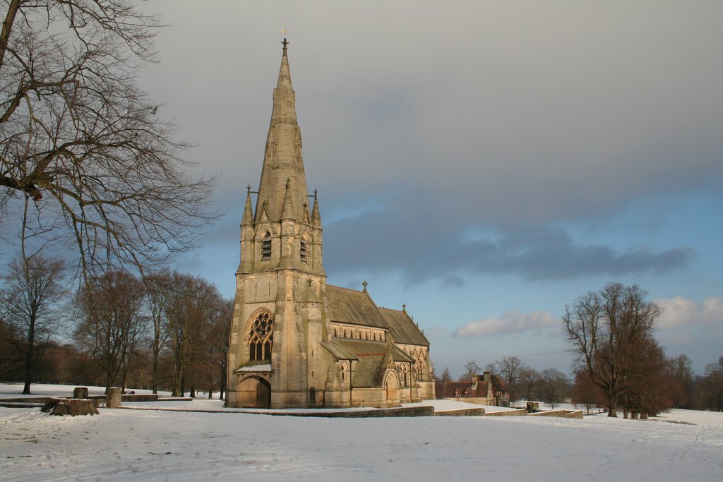
St Mary's, Studley Royal

The Church of St Mary, Studley Royal, is a Victorian Gothic Revival church built in the Early English style by William Burges. It is located in the grounds...
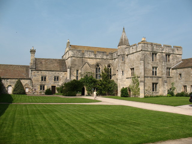
Fountains Hall

Fountains Hall is a country house near Ripon in North Yorkshire, England, located within the World Heritage Site at Studley Royal Park which include the...

Studley Roger

Studley Roger is a small village and civil parish in the Harrogate district of North Yorkshire, England, and it is about 1 mile west of the historical...

Aldfield

Aldfield is a village and civil parish in the former Harrogate district of North Yorkshire, England, about three miles west of Ripon. It is the closest...

Markenfield Hall

Markenfield Hall is an early 14th-century moated manor house about 3 miles (5 km) south of Ripon, North Yorkshire, England. It is in the civil parish of...

Ingerthorpe

Ingerthorpe is a hamlet and former civil parish about 7 miles (11 km) from Harrogate, now in the parish of Markington with Wallerthwaite, in the Harrogate...

Quarry Moor

Quarry Moor is a Site of Special Scientific Interest, or SSSI, at the south edge of Ripon, North Yorkshire, England, and adjacent to the A61 road. It contains...

Nearby Amenities

Located within 500m of 54.11352,-1.5742527
Surprise View
Alt Name: Anne Boleyn's Seat
Source: National Trust
Tourism: viewpoint
Lat/Long: 54.1117304/-1.5688324
Waterway: weir
Lat/Long: 54.1122776/-1.5729537
Image: https://www.geograph.org.uk/photo/7029247
Waterway: weir
Lat/Long: 54.1110444/-1.5723592
Toilets
Fee: no
Note: Not a duplicate since two sets of toilets either side of paywall
Lat/Long: 54.1164096/-1.5751239
Artwork Type: statue
Image: https://www.geograph.org.uk/photo/6674431
Subject: Euricles
Tourism: artwork
Wikidata: Q26468659
Lat/Long: 54.1150593/-1.5730621
Neptune
Artwork Type: statue
Image: https://www.geograph.org.uk/photo/446536
Tourism: artwork
Wikidata: Q26583691
Lat/Long: 54.1143698/-1.5728052
The Wrestlers
Artwork Type: statue
Image: https://www.geograph.org.uk/photo/1005864
Tourism: artwork
Wikidata: Q26443432
Lat/Long: 54.1156056/-1.5735911
Artwork Type: statue
Tourism: artwork
Wikidata: Q26443434
Lat/Long: 54.1138644/-1.5736174
Waterway: weir
Wikidata: Q17536400
Lat/Long: 54.1166713/-1.5727749
Studley Royal Water Garden
Leisure: garden
Source: Bing
Wikidata: Q259173
Wikipedia: en:Studley Royal Park
Lat/Long: 54.1153544/-1.5730618
Cafe
Studley Royal Tea Room
Tent Hill
Description: A Tent was placed on top of the hill as it was the fashion at the time the gardens were created.
Source: gps;National_Trust
Tourism: viewpoint
Lat/Long: 54.1115936/-1.5720852
Bench
Backrest: yes
Lat/Long: 54.1125104/-1.5705816
Conservation work in the east valley woodland
Fixme: Confirm still present
Information: board
Tourism: information
Lat/Long: 54.1154675/-1.5724795
The Octagon Tower
Board Type: history
Information: board
Tourism: information
Lat/Long: 54.1159378/-1.5720966
The Temple of Fame
Board Type: history
Information: board
Tourism: information
Lat/Long: 54.1131547/-1.5712386
Entrance: main
Lat/Long: 54.1159285/-1.5720571
Toilets
Access: yes
Fee: no
Female: yes
Male: yes
Lat/Long: 54.11646/-1.5751334
Drum Fall
Waterway: weir
Lat/Long: 54.1135337/-1.574234
Image: https://www.geograph.org.uk/photo/947290
Waterway: weir
Wikidata: Q26468254
Lat/Long: 54.1103934/-1.5752668
Bench
Lat/Long: 54.1171682/-1.574434
Bench
Lat/Long: 54.1176162/-1.5744689
Barrier: entrance
Source: survey;gps
Lat/Long: 54.1167716/-1.5743279
Leisure: outdoor_seating
Lat/Long: 54.1166565/-1.5739109
Access: permit
Barrier: toll_booth
Lat/Long: 54.1166526/-1.5744084
Welcome to Fountains Abbey & Studley Royal
Hiking: yes
Information: map
Tourism: information
Lat/Long: 54.1168566/-1.5751702
Parking
Overflow parking (seasonal)
Access: yes
Fee: yes
Operator: National Trust
Surface: grass
Lat/Long: 54.1175345/-1.5756865
Bench
Lat/Long: 54.1143635/-1.5718067
Bench
Backrest: no
Lat/Long: 54.1107543/-1.573093
Bench
Backrest: no
Lat/Long: 54.1102769/-1.5752829
Bench
Lat/Long: 54.1099782/-1.577162
Bench
Lat/Long: 54.1145775/-1.5747509
Hercules wrestling Anteus
Artwork Type: statue
Image: https://www.geograph.org.uk/photo/6674369
Tourism: artwork
Wikidata: Q26468700
Lat/Long: 54.1125805/-1.5737379
Bench
Backrest: no
Lat/Long: 54.1115306/-1.5697937
Shelter
Anne Boleyn's Seat
Image: https://www.geograph.org.uk/photo/1005946
Shelter Type: weather_shelter
Lat/Long: 54.1116474/-1.5687114
Quebec Monument
Historic: monument
Image: https://www.geograph.org.uk/photo/616487
Wikidata: Q26468711
Lat/Long: 54.1126654/-1.5725389
Cave: grotto
Historic: folly
Image: https://www.geograph.org.uk/photo/7029263
Natural: cave_entrance
Wikidata: Q26443436
Lat/Long: 54.1126788/-1.5717758
Artwork Type: sculpture
Tourism: artwork
Lat/Long: 54.1134972/-1.5740778
Artwork Type: sculpture
Image: https://www.geograph.org.uk/photo/6674380
Tourism: artwork
Lat/Long: 54.113551/-1.5744178
Robin Hood's Well
Disused Man Made: water_well
Image: https://www.geograph.org.uk/photo/7089063
Wikidata: Q26442693
Lat/Long: 54.10979/-1.5781583
Hiking: yes
Information: guidepost
Tourism: information
Lat/Long: 54.1120247/-1.5735139
Hiking: yes
Information: guidepost
Tourism: information
Lat/Long: 54.1163106/-1.574513
The data included in this document is from www.openstreetmap.org. The data is made available under ODbL.

Have you been to Drum Falls?

Leave your review of Drum Falls below (or comments, questions and feedback).