Horse Coppice
Wood, Forest in Yorkshire Harrogate
England
Horse Coppice
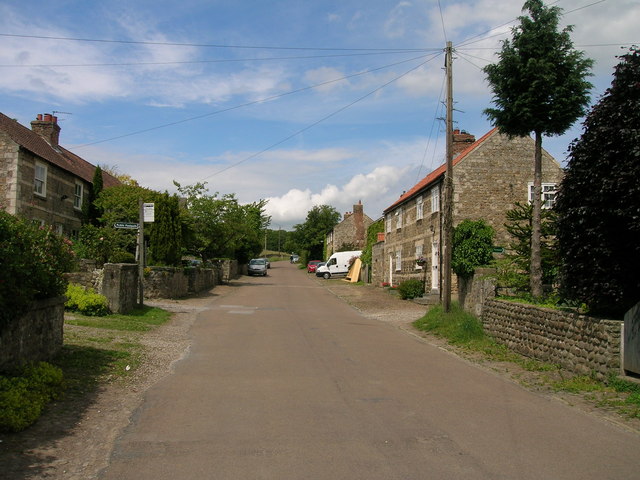
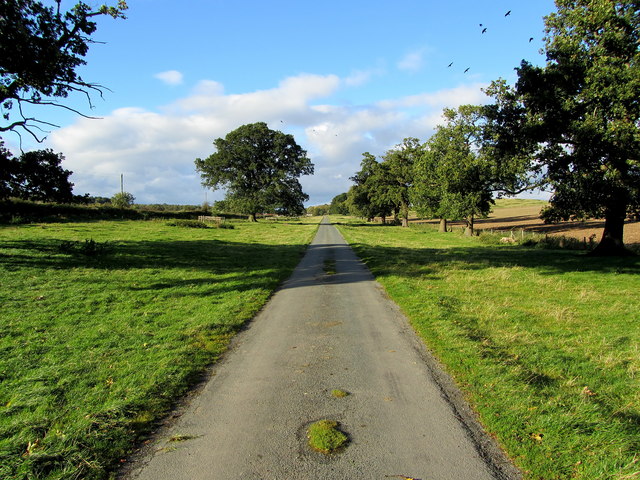
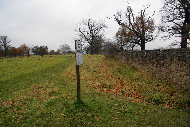
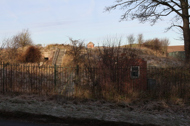
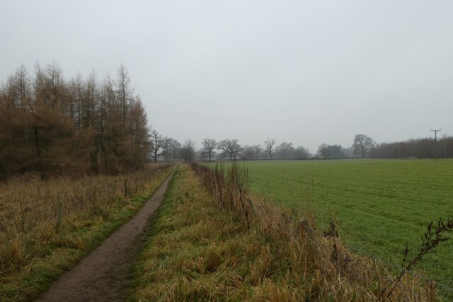
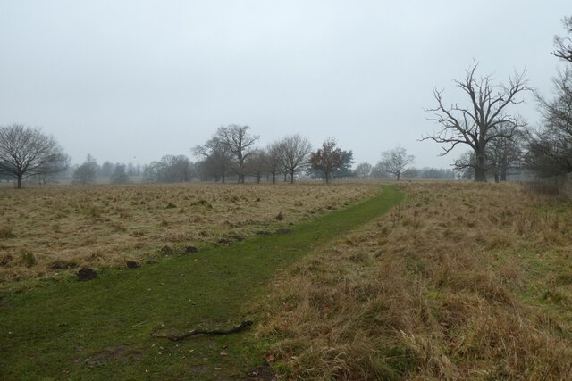
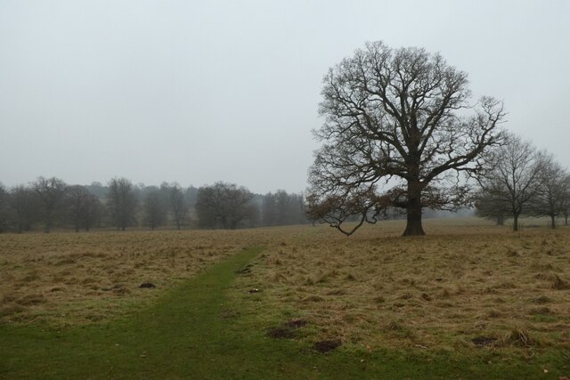
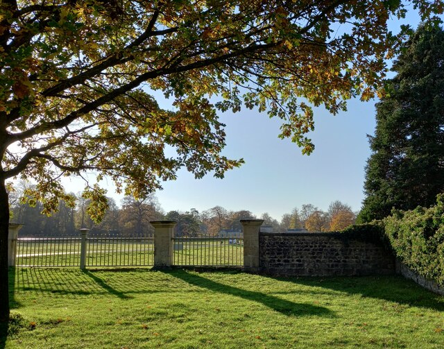
Horse Coppice, located in Yorkshire, is a charming woodland area encompassing a substantial portion of the county's landscape. With its lush greenery and towering trees, this forest presents a picturesque setting for nature enthusiasts and visitors seeking tranquility. Covering an expansive area of land, Horse Coppice is a haven for various forms of wildlife and plant species, boasting an impressive biodiversity.
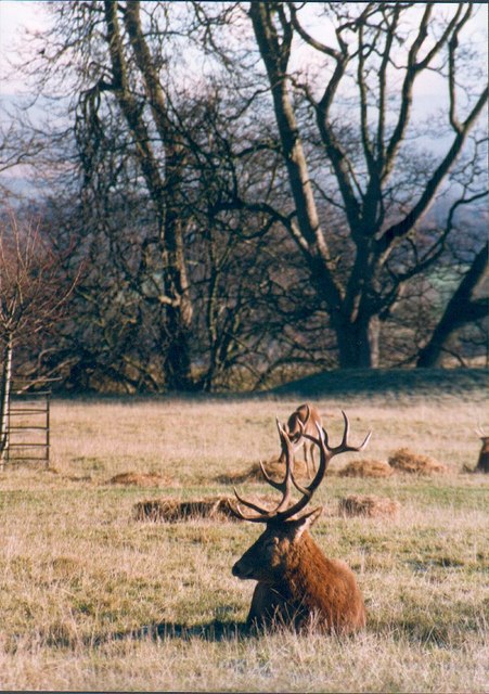
The forest's diverse ecosystem is home to a myriad of wildlife, including deer, rabbits, squirrels, and a wide array of bird species. The tranquility of the forest provides an ideal environment for these animals to thrive, making it a popular spot for wildlife enthusiasts and birdwatchers alike.
Horse Coppice's woodland is predominantly composed of deciduous trees, such as oak, beech, and birch, which contribute to its stunning autumnal colors. The forest floor is adorned with a carpet of bluebells and various wildflowers during the spring season, creating a vibrant and enchanting atmosphere.
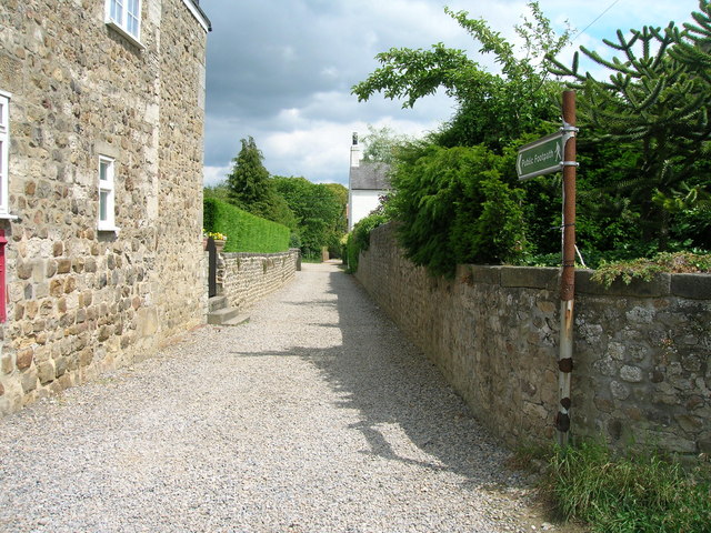
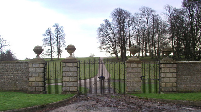
Aside from its natural beauty, Horse Coppice offers a range of recreational activities for visitors to enjoy. The forest boasts numerous walking trails and paths, allowing visitors to explore its depths while immersing themselves in the peaceful surroundings. These paths lead to hidden gems within the forest, including small streams and picturesque clearings perfect for picnics or moments of solitude.
Horse Coppice, with its idyllic landscapes and rich biodiversity, is a true gem within Yorkshire's natural treasures. Its serene ambiance and abundance of wildlife make it an ideal destination for nature lovers and those seeking respite from the bustling city life.
If you have any feedback on the listing, please let us know in the comments section below.
Horse Coppice Images
Images are sourced within 2km of 54.113485/-1.5770524 or Grid Reference SE2768. Thanks to Geograph Open Source API. All images are credited.


Horse Coppice is located at Grid Ref: SE2768 (Lat: 54.113485, Lng: -1.5770524)
Division: West Riding
Administrative County: North Yorkshire
District: Harrogate
Police Authority: North Yorkshire
What 3 Words
///founders.operating.strikers. Near Ripon, North Yorkshire
Related Wikis

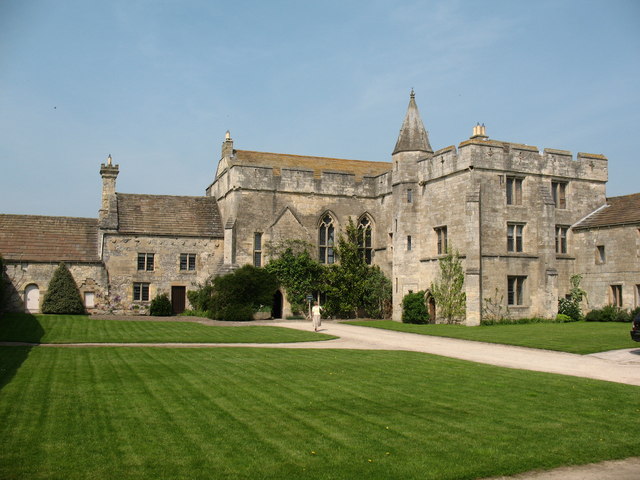
Fountains Abbey
Fountains Abbey is one of the largest and best preserved ruined Cistercian monasteries in England. It is located approximately 3 miles (5 km) south-west...
St Mary's, Studley Royal
The Church of St Mary, Studley Royal, is a Victorian Gothic Revival church built in the Early English style by William Burges. It is located in the grounds...

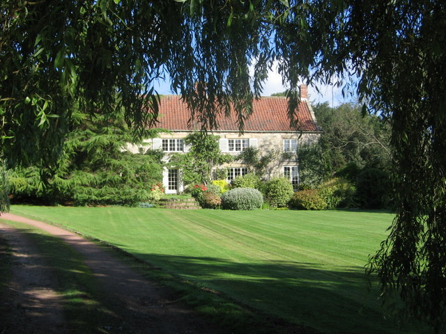
Fountains Hall
Fountains Hall is a country house near Ripon in North Yorkshire, England, located within the World Heritage Site at Studley Royal Park which include the...

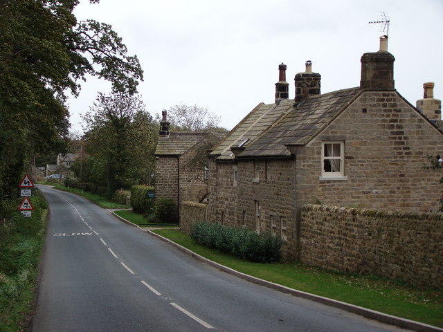
Aldfield
Aldfield is a village and civil parish in the former Harrogate district of North Yorkshire, England, about three miles west of Ripon. It is the closest...

Studley Roger
Studley Roger is a small village and civil parish in the Harrogate district of North Yorkshire, England, and it is about 1 mile west of the historical...
Markenfield Hall
Markenfield Hall is an early 14th-century moated manor house about 3 miles (5 km) south of Ripon, North Yorkshire, England. It is in the civil parish of...
Ingerthorpe
Ingerthorpe is a hamlet and former civil parish about 7 miles (11 km) from Harrogate, now in the parish of Markington with Wallerthwaite, in the Harrogate...
Risplith
Risplith is a village in the civil parish of Sawley, in the Harrogate district of North Yorkshire, England. It is about 4 miles (6.4 km) west of Ripon...
Nearby Amenities
Located within 500m of 54.113485,-1.5770524Have you been to Horse Coppice?
Leave your review of Horse Coppice below (or comments, questions and feedback).