Abbey Green
Downs, Moorland in Yorkshire Harrogate
England
Abbey Green
Abbey Green is a picturesque village located in the county of Yorkshire, England. Nestled amidst the stunning landscape of the Yorkshire Downs and Moorland, it offers residents and visitors alike a tranquil and idyllic setting.
The village is characterized by its charming stone cottages, which exude a sense of history and traditional English charm. The surrounding countryside is dotted with lush green fields, rolling hills, and meandering streams, providing a haven for those seeking a peaceful retreat.
Abbey Green is renowned for its rich history, as evidenced by the presence of an ancient abbey that dates back several centuries. The abbey ruins serve as a reminder of the village's past and attract history enthusiasts from far and wide.
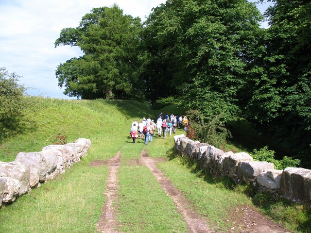
The Yorkshire Downs, which lie to the west of Abbey Green, offer spectacular panoramic views and are a haven for outdoor enthusiasts. Visitors can enjoy hiking, cycling, or horseback riding through the vast expanse of moorland, taking in the natural beauty and serenity of the area.
The village itself boasts a close-knit community, with a handful of local shops, quaint tea rooms, and a traditional pub serving hearty meals and local ales. It is a place where neighbors know each other by name and visitors are welcomed with warmth and hospitality.
Abbey Green is a destination that offers a perfect blend of natural beauty, history, and community spirit. Whether one seeks tranquility, outdoor adventures, or a glimpse into the past, this charming village in Yorkshire is sure to leave a lasting impression.
If you have any feedback on the listing, please let us know in the comments section below.
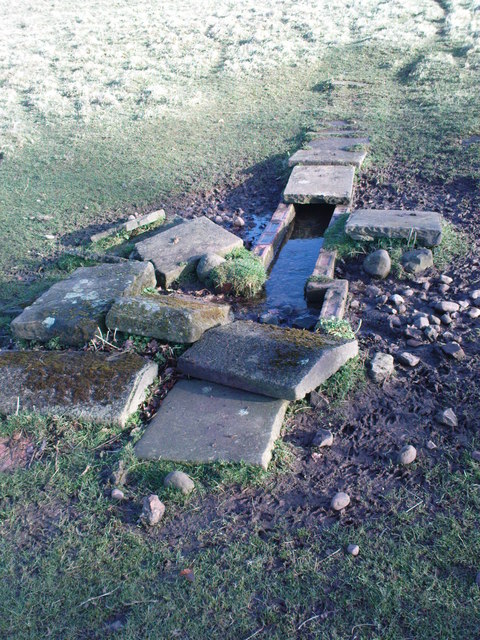
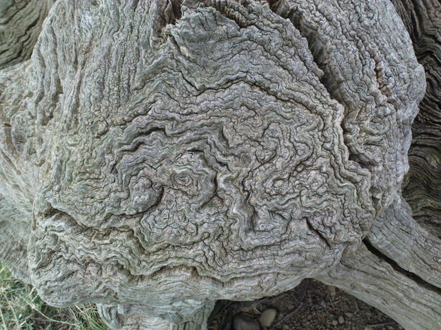
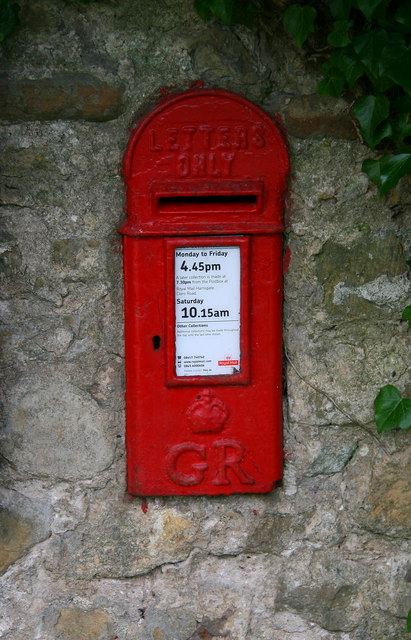
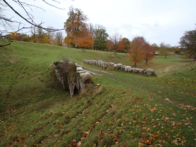
Abbey Green Images
Images are sourced within 2km of 54.109813/-1.580623 or Grid Reference SE2768. Thanks to Geograph Open Source API. All images are credited.
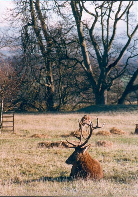
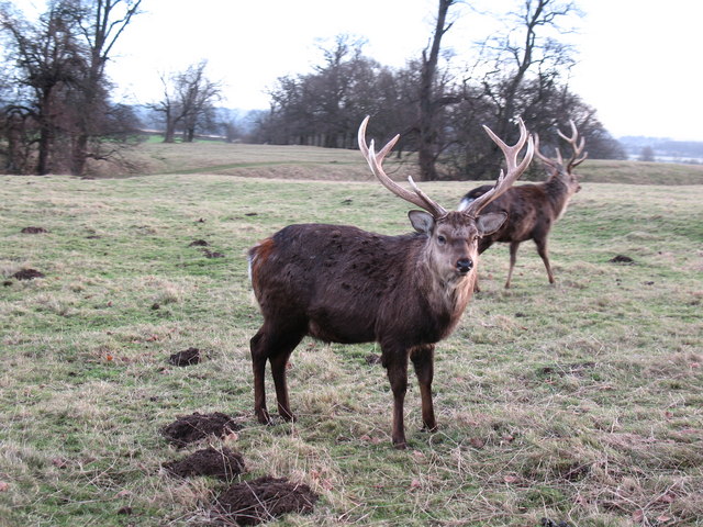
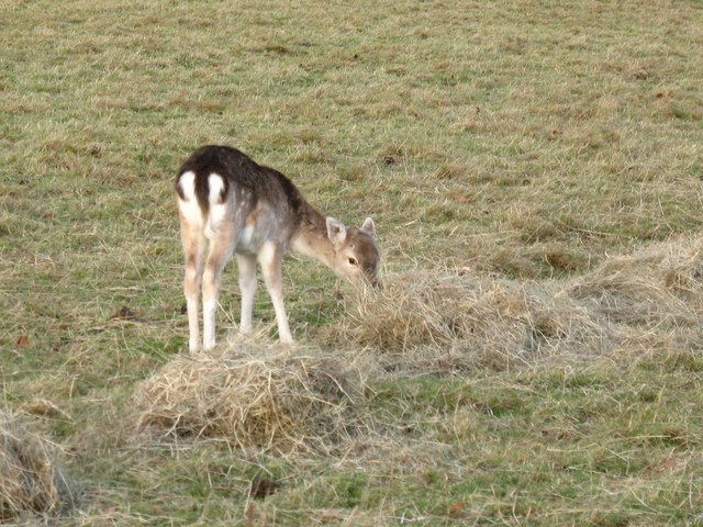
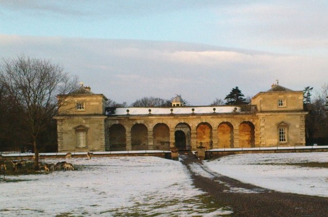
![Waiting for the feed truck Group of deer [mostly red] awaiting the arrival of the winter feed truck. The deer in the park get a regular feed of hay and sheep nuts. The nuts are particularly popular and it is usually the red stags that get the biggest share, being able to bully the others out of the way. The deer here are far larger and in better condition than their cousins in the Scottish Highlands thanks to good grass and extra feed through the winter.](https://s3.geograph.org.uk/photos/65/16/651699_e62119b5.jpg)
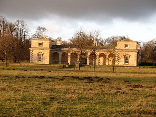
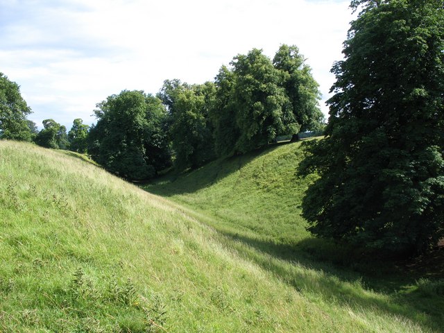
![Oak Avenue, Studley Park Visitors are familiar with the fine avenue of limes that runs through Studley Park from the East Gate to the obelisk, but few see this avenue of oaks [with one beech] that forms a sightline between the stable block and Ripon Minster.](https://s2.geograph.org.uk/geophotos/01/97/82/1978218_7b7da3c5.jpg)
Abbey Green is located at Grid Ref: SE2768 (Lat: 54.109813, Lng: -1.580623)
Division: West Riding
Administrative County: North Yorkshire
District: Harrogate
Police Authority: North Yorkshire
What 3 Words
///worthy.hurry.trembles. Near Ripon, North Yorkshire
Nearby Locations
Related Wikis

Fountains Abbey
Fountains Abbey is one of the largest and best preserved ruined Cistercian monasteries in England. It is located approximately 3 miles (5 km) south-west...

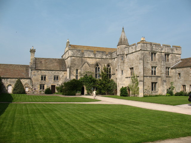
Fountains Hall
Fountains Hall is a country house near Ripon in North Yorkshire, England, located within the World Heritage Site at Studley Royal Park which include the...
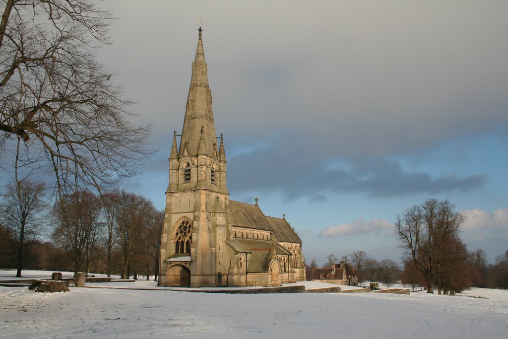
St Mary's, Studley Royal
The Church of St Mary, Studley Royal, is a Victorian Gothic Revival church built in the Early English style by William Burges. It is located in the grounds...

Aldfield
Aldfield is a village and civil parish in the former Harrogate district of North Yorkshire, England, about three miles west of Ripon. It is the closest...
Markenfield Hall
Markenfield Hall is an early 14th-century moated manor house about 3 miles (5 km) south of Ripon, North Yorkshire, England. It is in the civil parish of...

Studley Roger
Studley Roger is a small village and civil parish in the Harrogate district of North Yorkshire, England, and it is about 1 mile west of the historical...

Sawley, North Yorkshire
Sawley is a village and civil parish in the Harrogate district of North Yorkshire, England. It is about 4 miles (6.4 km) west of Ripon. From this position...
Ingerthorpe
Ingerthorpe is a hamlet and former civil parish about 7 miles (11 km) from Harrogate, now in the parish of Markington with Wallerthwaite, in the Harrogate...
Nearby Amenities
Located within 500m of 54.109813,-1.580623Have you been to Abbey Green?
Leave your review of Abbey Green below (or comments, questions and feedback).