Whin Moor
Downs, Moorland in Yorkshire
England
Whin Moor
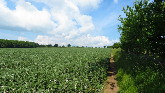
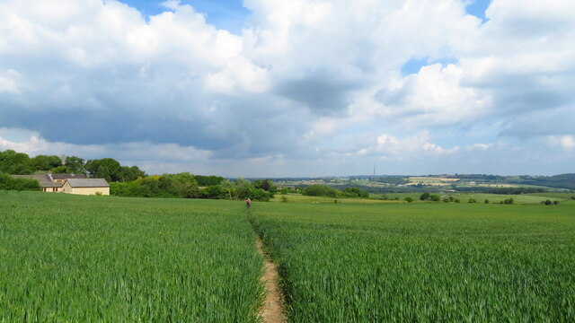
Whin Moor is a picturesque area located in Yorkshire, England. Situated in the northern part of the county, it is known for its stunning views and diverse landscapes, incorporating both downs and moorland. The moor covers a vast area of rolling hills, scattered with patches of heather and grasses. These open spaces provide a habitat for various species of wildlife, including birds, mammals, and insects.
The moorland of Whin Moor is characterized by its unique geological formations, with exposed rocks and boulders dotting the landscape. The rocks originate from the underlying sandstone and gritstone layers, which have been shaped over thousands of years by erosion and weathering. This gives the area its distinctive rugged appearance.
The downs of Whin Moor offer a contrasting scene, with gentle slopes and expansive grasslands. These downs are ideal for agriculture and grazing, and the area is often dotted with sheep and cattle. The fertile soil supports a variety of vegetation, including wildflowers and grasses, creating a colorful and vibrant landscape during the summer months.
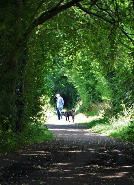
Whin Moor is a popular destination for outdoor enthusiasts, offering numerous hiking and walking trails that showcase the natural beauty of the area. Visitors can enjoy panoramic views from elevated points, spot wildlife in its natural habitat, and witness the changing colors of the moorland throughout the seasons.
Overall, Whin Moor is a captivating region that combines the charm of downs and the ruggedness of moorland, making it a must-visit location for nature lovers and those seeking a tranquil escape in the heart of Yorkshire.
If you have any feedback on the listing, please let us know in the comments section below.
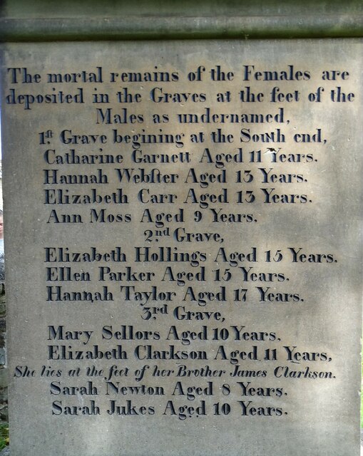
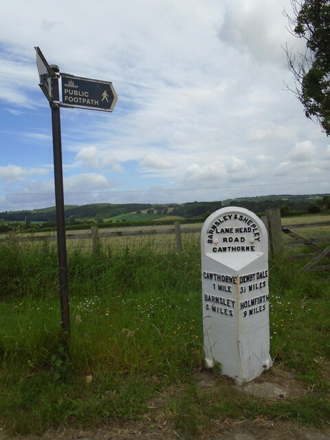
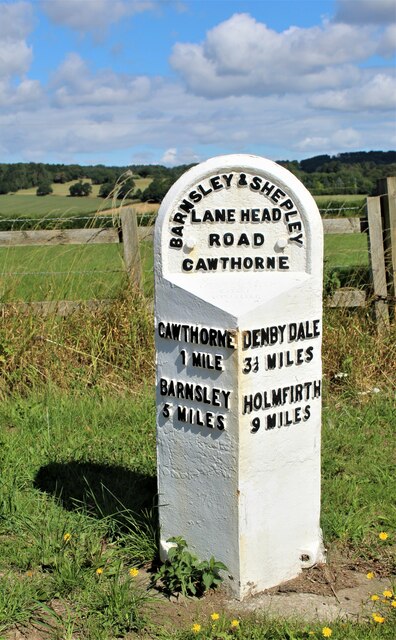
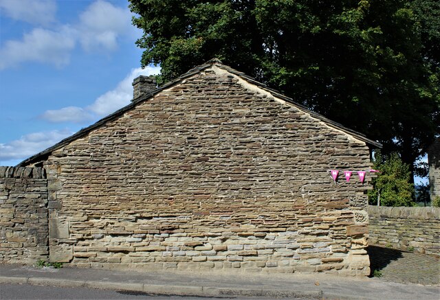
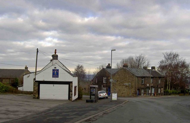
Whin Moor Images
Images are sourced within 2km of 53.546844/-1.5863559 or Grid Reference SE2705. Thanks to Geograph Open Source API. All images are credited.


Whin Moor is located at Grid Ref: SE2705 (Lat: 53.546844, Lng: -1.5863559)
Division: West Riding
Unitary Authority: Barnsley
Police Authority: South Yorkshire
What 3 Words
///teams.dentures.winters. Near Silkstone, South Yorkshire
Nearby Locations
Related Wikis

Barnsley West and Penistone (UK Parliament constituency)
Barnsley West and Penistone was a parliamentary constituency in South Yorkshire which returned one Member of Parliament (MP) to the House of Commons of...

Kine Moor
Kine Moor is a settlement in the English county of South Yorkshire. Kine Moor is part of the metropolitan borough of Barnsley and the civil parish of Silkstone...
Noblethorpe
Noblethorpe is a hamlet in the English county of South Yorkshire. The hamlet falls within the Penistone East Ward of the Barnsley MBC. Noblethorpe lies...
Hoylandswaine
Hoylandswaine is a village in the Metropolitan Borough of Barnsley, South Yorkshire, England. Located near Penistone and west of the M1 along the A628...
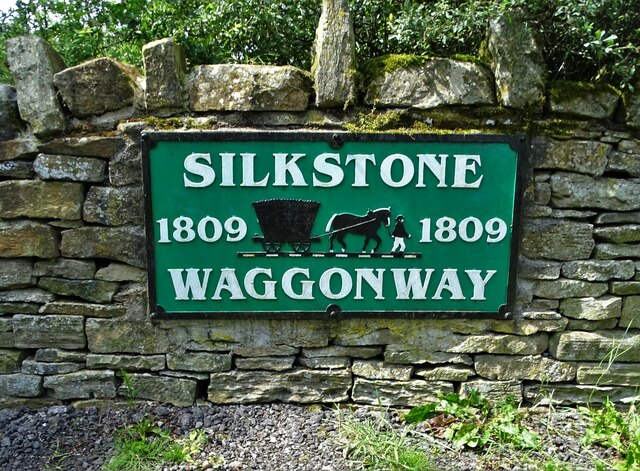
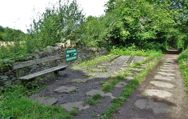
Silkstone
Silkstone is a village and civil parish in the Metropolitan Borough of Barnsley in South Yorkshire, England. It is situated in the foothills of the Pennines...

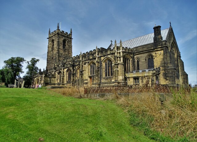
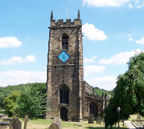
Church of All Saints, Silkstone
The Church of All Saints is the parish church in the village of Silkstone in South Yorkshire, England. It is a Church of England church in the Diocese...
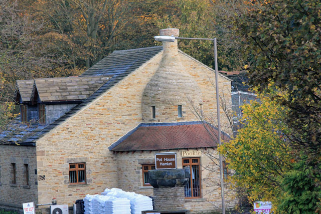
Silkstone glassworks
Silkstone glassworks is situated at Pot House Hamlet, a historic former industrial site in Silkstone, South Yorkshire, England. A glass works was established...
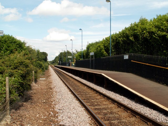
Silkstone Common railway station
The present Silkstone Common railway station, which opened by British Rail on 14 May 1983 serves the village of Silkstone Common, near Barnsley in South...
Nearby Amenities
Located within 500m of 53.546844,-1.5863559Have you been to Whin Moor?
Leave your review of Whin Moor below (or comments, questions and feedback).