Dùn Glas
Heritage Site in Argyllshire
Scotland
Dùn Glas
Dùn Glas, located in Argyllshire, Scotland, is a significant heritage site that holds historical and cultural importance. Perched on a hilltop, this ancient fortification offers breathtaking views of the surrounding landscape.
Dating back to the Iron Age, Dùn Glas is believed to have been constructed around 2,500 years ago. The site consists of the remains of an impressive fort, including a series of stone walls and a central courtyard. These structures were built using dry-stone techniques, which involve carefully stacking stones without the use of mortar.
The fort's strategic location provided its inhabitants with a commanding view of the surrounding area, allowing them to monitor any approaching threats or engage in trade and communication. Additionally, the fort's design features multiple defensive features, such as narrow entrances and strong fortifications, indicating its purpose as a defensive stronghold.
Dùn Glas is not only a testament to the ingenuity and craftsmanship of its ancient inhabitants but also serves as a window into their way of life. Archaeological excavations at the site have unearthed various artifacts, including pottery, tools, and fragments of daily life objects, shedding light on the day-to-day activities and culture of the people who once inhabited this fort.
Today, Dùn Glas is a popular destination for history enthusiasts and tourists alike. Its picturesque location and well-preserved structures offer a unique opportunity to step back in time and imagine the lives of those who lived in this ancient stronghold.
If you have any feedback on the listing, please let us know in the comments section below.
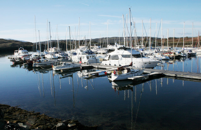
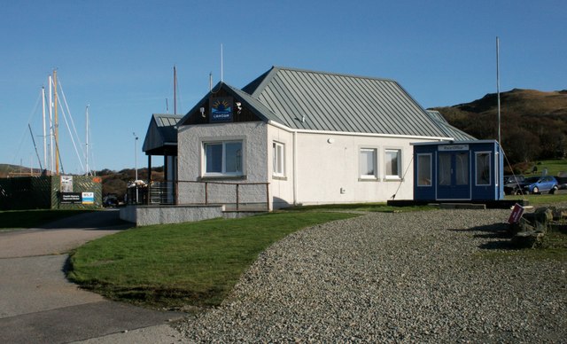
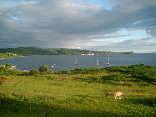
Dùn Glas Images
Images are sourced within 2km of 56.2/-5.555 or Grid Reference NM7906. Thanks to Geograph Open Source API. All images are credited.
![Port Caol The upstanding rock on the right is Creag nam Muran [<a title="https://www.geograph.org.uk/photo/165706" href="https://www.geograph.org.uk/photo/165706">Link</a>] - part of an igneous dyke. The island of Shuna is on the other side of the water.](https://s1.geograph.org.uk/geophotos/05/64/50/5645077_c396644e.jpg)
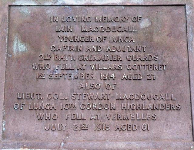
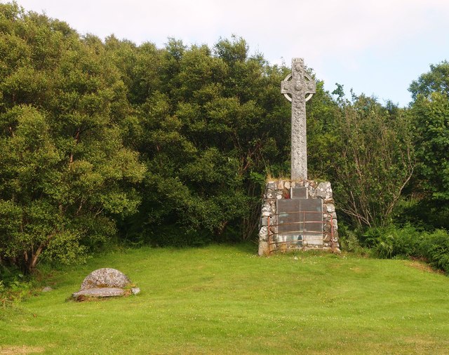
![Monument to Capt Iain MacDougall and Lieut. Col. Stewart MacDougall of Lunga Monument erected in loving memory of Capt Iain MacDougall of Lunga, who died at Villars Cotteret, 1st February 1914; and Lieut. Col. Stewart MacDougall who died at Vermelles, 21st July 1915. For full inscription, see [<a title="https://www.geograph.org.uk/photo/5959573" href="https://www.geograph.org.uk/photo/5959573">Link</a>].](https://s1.geograph.org.uk/geophotos/05/95/95/5959557_742b253b.jpg)
![Plaque on monument in memory of Capt Iain MacDougall and Lieut. Col. Stewart MacDougall of Lunga The monument [<a title="https://www.geograph.org.uk/photo/5959557" href="https://www.geograph.org.uk/photo/5959557">Link</a>] also has two large plaques below this one, showing the MacDougall family tree.](https://s1.geograph.org.uk/geophotos/05/95/95/5959573_a533a28d.jpg)
Dùn Glas is located at Grid Ref: NM7906 (Lat: 56.2, Lng: -5.555)
Unitary Authority: Argyll and Bute
Police Authority: Argyll and West Dunbartonshire
What 3 Words
///budget.fewer.pricing. Near Lochgilphead, Argyll & Bute
Nearby Locations
Related Wikis

Craignish
Craignish (Scottish Gaelic, Creiginis) is a peninsula in Argyll, on the west coast of Scotland. It lies around 25 miles (40 km) south of Oban, and 10 miles...

Craobh Haven
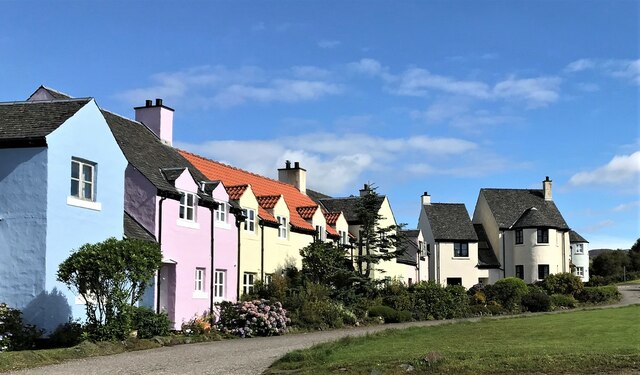
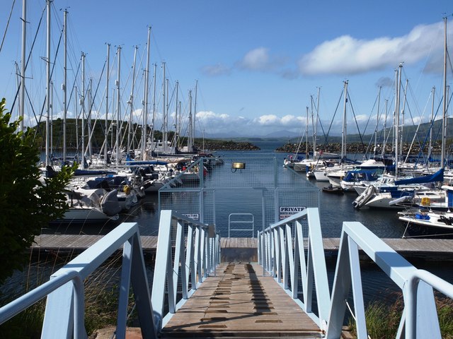
Craobh Haven Scottish Gaelic pronunciation: [kɾɯːv] is a small purpose-built village and sailing port on the west coast of Argyll and Bute, Scotland. It...

Ardfern
Ardfern (Scottish Gaelic: Aird Fheàrna, meaning "the head-land of alder-trees") is a village in Argyll and Bute, Scotland. It lies on the south coast of...

Eilean Mhic Chrion
Eilean Mhic Chrion is a tidal island sheltering Ardfern in Loch Craignish, Scotland. Eilean Mhic Chrion is one of 43 tidal islands that can be walked to...

Asknish Bay
Asknish Bay is a small, remote, southwest-facing coastal embayment, located next to the small settlement of Arduaine within Argyll and Bute, Scotland....

Shuna, Slate Islands
Shuna (Scottish Gaelic: Siuna) is one of the Slate Islands lying east of Luing on the west coast of Scotland. == History == In 1815, James Yates, a Glasgow...
Dunan Aula
Dunan Aula, also known in Scottish Gaelic as Dùnan Amhlaidh, is the site of an exposed cist, located in the parish of Craignish, in Argyll and Bute, Scotland...
Arduaine
Arduaine (Scottish Gaelic: An Àird Uaine, lit. 'green/fertile promontory or headland', pronounced "Ard oo an-ye") is a village in Argyll and Bute, Scotland...
Nearby Amenities
Located within 500m of 56.2,-5.555Have you been to Dùn Glas?
Leave your review of Dùn Glas below (or comments, questions and feedback).