Dùn Ghallain
Heritage Site in Argyllshire
Scotland
Dùn Ghallain

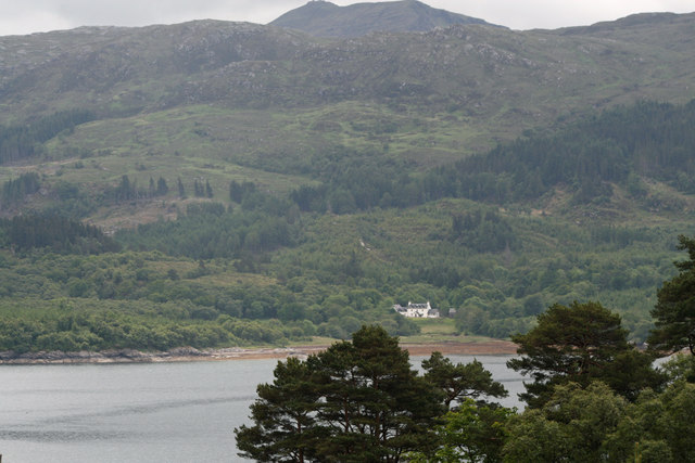
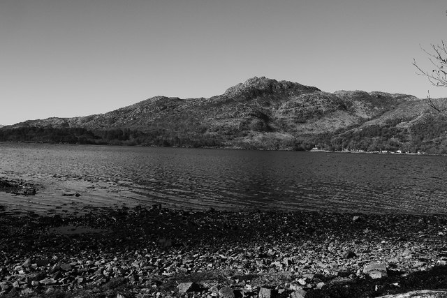
Dùn Ghallain is a historic site located in Argyllshire, Scotland. Situated on a hilltop, this heritage site offers stunning views of the surrounding landscape, including Loch Gilp and the town of Dunoon. It is believed to have been a stronghold of the ancient Gaelic kingdom of Dalriada.
The name Dùn Ghallain translates to "Galwegian Fort" in Gaelic, reflecting its historical significance. The site consists of an Iron Age fort, dating back to around 200 BC, and a later medieval castle. The fort is characterized by its defensive stone walls, which enclose an area of approximately 0.5 hectares. These walls were strategically built on the hilltop to provide a vantage point for monitoring and defending the area.
The medieval castle, believed to have been constructed in the 13th or 14th century, is situated within the fort's walls. Although now in ruins, it offers a glimpse into the architectural style and defensive features of the time. The castle would have likely served as a residence for local nobility or as a stronghold during times of conflict.
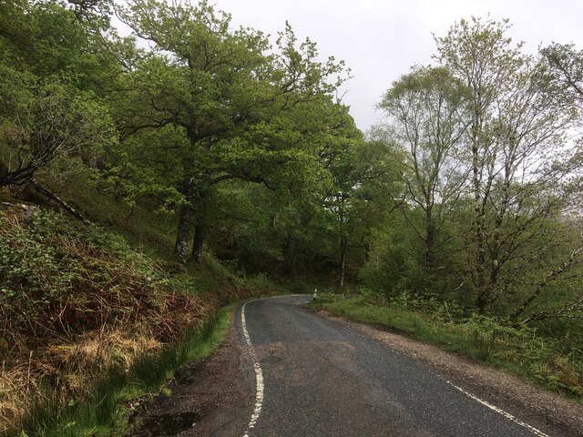
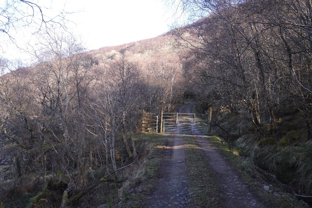
Dùn Ghallain is a popular destination for history enthusiasts, hikers, and nature lovers alike. Visitors can explore the remains of the fort and castle, taking in the panoramic views of the surrounding countryside. The site is also easily accessible, with a parking area nearby and well-maintained walking paths leading to the hilltop.
If you have any feedback on the listing, please let us know in the comments section below.
Dùn Ghallain Images
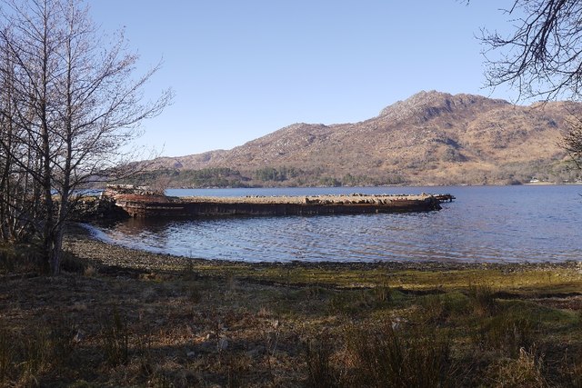
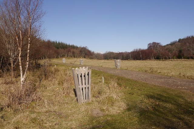
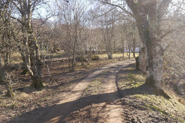
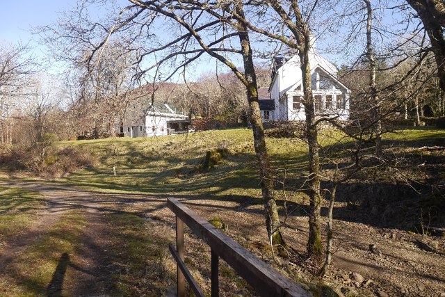
Images are sourced within 2km of 56.677/-5.828 or Grid Reference NM6560. Thanks to Geograph Open Source API. All images are credited.


Dùn Ghallain is located at Grid Ref: NM6560 (Lat: 56.677, Lng: -5.828)
Unitary Authority: Highland
Police Authority: Highlands and Islands
What 3 Words
///emerald.reckoned.organist. Near Drimnin, Highland
Nearby Locations
Related Wikis
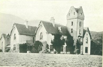
Glencripesdale House
Glencripesdale House, or Glencripesdale Castle as it was sometimes referred to, was the centre of the 26,000-acre (11,000-hectare) Glencripesdale Estate...
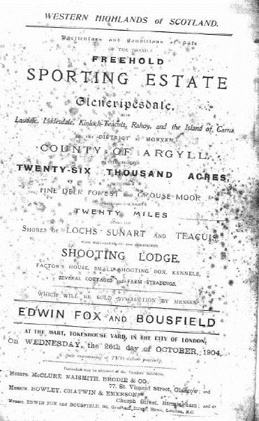
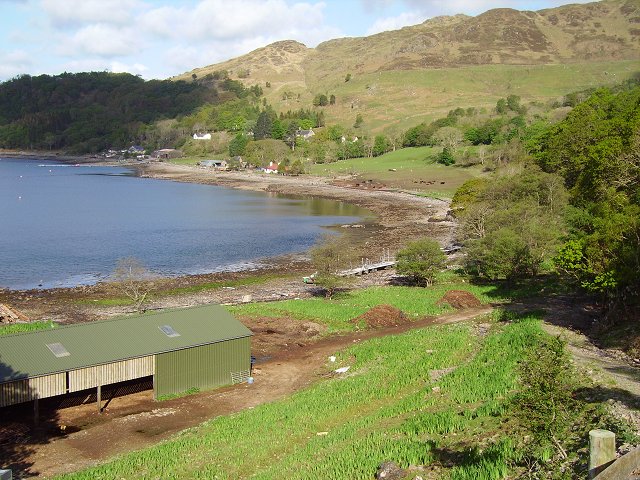
Glencripesdale Estate
The Glencripesdale Estate is a country estate situated along the south side of Loch Sunart, a sea loch in the west highlands of Scotland. Today, the Isle...
Laga, Lochaber
Laga (Scottish Gaelic: Làga) is a hamlet on the north shore of Loch Sunart near Acharacle, in Lochaber, in the Highlands of Scotland and is in the council...

Càrna
Carna or Càrna is an island in Loch Sunart, an arm of the sea, close to the Ardnamurchan peninsula, on the west coast of Scotland. == Geography == Carna...
Nearby Amenities
Located within 500m of 56.677,-5.828Have you been to Dùn Ghallain?
Leave your review of Dùn Ghallain below (or comments, questions and feedback).