Dùn Glas an Loin Ghuirm

Heritage Site in Argyllshire

Scotland

Dùn Glas an Loin Ghuirm

Disused military buildings
Disused military buildings Credit: Mick Garratt

Dùn Glas an Loin Ghuirm, also known as the Blue Lion Fort, is a historic heritage site located in Argyllshire, Scotland. Situated on a hilltop overlooking Loch Awe, the fort holds immense historical and cultural significance.

This ancient fortification dates back to the Iron Age, believed to have been constructed around 500 BC. It is believed to have been a defensive structure for the local inhabitants against potential threats and invasions. The fort is enclosed by stone walls, which are still relatively intact despite centuries of weathering and erosion.

Dùn Glas an Loin Ghuirm offers breathtaking panoramic views of the surrounding landscape, including the majestic Loch Awe and the nearby mountains. The site is a popular attraction for both history enthusiasts and nature lovers due to its stunning natural beauty and historical value.

Visitors to Dùn Glas an Loin Ghuirm can explore the remains of the fort, including the inner and outer walls, which provide insight into the ancient construction techniques and defensive strategies employed by the inhabitants. The site is also adorned with some remnants of ancient dwellings, potentially indicating the presence of a small settlement within the fort.

As a heritage site, Dùn Glas an Loin Ghuirm is protected by the local authorities to preserve its historical significance. It serves as a testament to the rich cultural heritage of Argyllshire and provides a glimpse into the lives of the people who inhabited the area thousands of years ago.

If you have any feedback on the listing, please let us know in the comments section below.

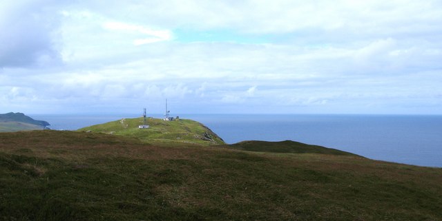
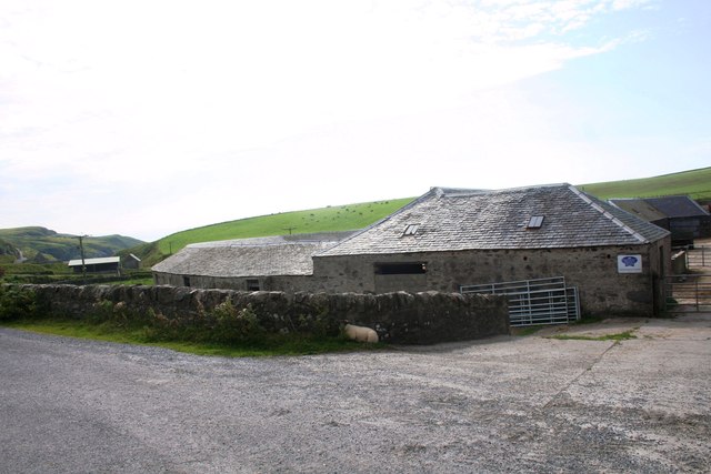
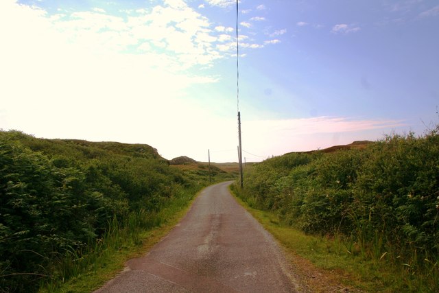
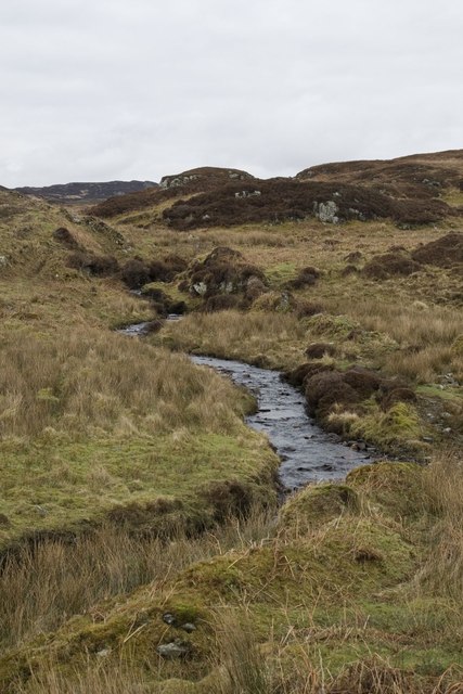
Dùn Glas an Loin Ghuirm Images

Images are sourced within 2km of 55.758/-6.423 or Grid Reference NR2260. Thanks to Geograph Open Source API. All images are credited.

Disused military buildings
Rolling Rinns landscape Looking south from the rough ridge to the south of Kilchoman across the valley of the Allt Cnoc na Gainimh towards the transmitters on Beinn Tart a Mhill.
Rolling Rinns landscape
Looking south from the rough ridge to the south of Kilchoman across the valley of the Allt Cnoc na Gainimh towards the transmitters on Beinn Tart a Mhill.
Meall Riabhach Looking south west from near point 149 on the heathery ridge to the south of Kilchoman.
Meall Riabhach
Looking south west from near point 149 on the heathery ridge to the south of Kilchoman.
Rhinns scenery near Kilchoman An area of small, rough hills to the south of Kilchoman. Difficult walking through deep heather, sedges, and around small crags.
Rhinns scenery near Kilchoman
An area of small, rough hills to the south of Kilchoman. Difficult walking through deep heather, sedges, and around small crags.
Kilchiaran Farm The farmstead of Kilchiaran on the Rinns of Islay.
Kilchiaran Farm
The farmstead of Kilchiaran on the Rinns of Islay.
Road to Kilchiaran The road passing through high banks close to Kilchiaran.
Road to Kilchiaran
The road passing through high banks close to Kilchiaran.
Footbridge across the Abhainn na Braid, Islay This footbridge is marked on my older version of the 1:25 000 Explorer map of Islay north, but not on the newer version that Geograph uses - the opposite way round of the water butt photo - see <a href="https://www.geograph.org.uk/photo/2802972">NR2162 : Farm Track near Machir Bay, Islay</a>
Footbridge across the Abhainn na Braid, Islay
This footbridge is marked on my older version of the 1:25 000 Explorer map of Islay north, but not on the newer version that Geograph uses - the opposite way round of the water butt photo - see NR2162 : Farm Track near Machir Bay, Islay
Ruin near Kilchiaran, Islay Marked as simply two rectangles on the Explorer map, with no name, the inhabitants of this erstwhile dwelling house surely enjoyed true tranquility. What stories could this lonely dwelling share?
Ruin near Kilchiaran, Islay
Marked as simply two rectangles on the Explorer map, with no name, the inhabitants of this erstwhile dwelling house surely enjoyed true tranquility. What stories could this lonely dwelling share?
Dun Bhar-a-Chlaom, south of Cnoc Dubh, Islay To reach this ancient fort, we had to negotiate barbed wire fences, bogs and scrubby willow. I would never have made the detour to see this 'landmark' as it wasn't particularly recognisable in the vast moorland we were traversing. However, this fort was our main destination for today's geographing trip as it seemed an interesting feature to mark this gridsquare. See also <span class="nowrap"><a title="http://www.scotlandsplaces.gov.uk/search_item/index.php?service=RCAHMS&id=37457&refer=L3NlYXJjaC9pbmRleC5waHA%2FYWN0aW9uPWRvX3NlYXJjaCZwX3R5cGU9Y29vcmRpbmF0ZXMmcF9uYW1lPU5hdGlvbmFsK0dyaWQrbnIyMjIxKzYxNDgmcF9uZ3JfeD0xMjIyMDAmcF9uZ3JfeT02NjE1MDAmcF9leHRlbnR2YWx1ZT0yNTAmaWRbXT05MzA%3D" rel="nofollow ugc noopener" href="http://www.scotlandsplaces.gov.uk/search_item/index.php?service=RCAHMS&id=37457&refer=L3NlYXJjaC9pbmRleC5waHA%2FYWN0aW9uPWRvX3NlYXJjaCZwX3R5cGU9Y29vcmRpbmF0ZXMmcF9uYW1lPU5hdGlvbmFsK0dyaWQrbnIyMjIxKzYxNDgmcF9uZ3JfeD0xMjIyMDAmcF9uZ3JfeT02NjE1MDAmcF9leHRlbnR2YWx1ZT0yNTAmaWRbXT05MzA%3D">Link</a><img style="margin-left:2px;" alt="External link" title="External link - shift click to open in new window" src="https://s1.geograph.org.uk/img/external.png" width="10" height="10"/></span> for more information. I can well believe that the previous visit to this site was made in 1978!
Dun Bhar-a-Chlaom, south of Cnoc Dubh, Islay
To reach this ancient fort, we had to negotiate barbed wire fences, bogs and scrubby willow. I would never have made the detour to see this 'landmark' as it wasn't particularly recognisable in the vast moorland we were traversing. However, this fort was our main destination for today's geographing trip as it seemed an interesting feature to mark this gridsquare. See also LinkExternal link for more information. I can well believe that the previous visit to this site was made in 1978!
Allt Cnoc na Gainimh and moorland south of Cnoc Dubh, Islay Difficult terrain to cross.
Allt Cnoc na Gainimh and moorland south of Cnoc Dubh, Islay
Difficult terrain to cross.
Allt Cnoc na Gainimh and moorland south of Cnoc Dubh, Islay Looking north-west.
Allt Cnoc na Gainimh and moorland south of Cnoc Dubh, Islay
Looking north-west.
Woodland south of Cnoc Dubh, Islay The masts on Kilchiaran hill are just visible on the left of the photo. This terrain requires careful negotiation if you want to avoid fighting your way through dense rhododendron or scrubby willow - the alternative is deep bog!
Woodland south of Cnoc Dubh, Islay
The masts on Kilchiaran hill are just visible on the left of the photo. This terrain requires careful negotiation if you want to avoid fighting your way through dense rhododendron or scrubby willow - the alternative is deep bog!
Allt Cnoc nan Gainimh, Islay
Allt Cnoc na Gainimh and moorland south of Cnoc Dubh, Islay Looking north-east
Allt Cnoc na Gainimh and moorland south of Cnoc Dubh, Islay
Looking north-east
Rhododendron and Fences, Cnoc Dubh, Islay We were fortunate in that not all the barriers marked on the map were still in existence.
Rhododendron and Fences, Cnoc Dubh, Islay
We were fortunate in that not all the barriers marked on the map were still in existence.
Coile na Cruaiche, Islay This scrubby woodland is located in a valley south of Kilchoman, between Turnaichaidh to the west and Cnoc Dubh to the east.
Coile na Cruaiche, Islay
This scrubby woodland is located in a valley south of Kilchoman, between Turnaichaidh to the west and Cnoc Dubh to the east.
Valley between Turnaichaidh and Cnoc Dubh, Islay The grass beneath our feet was welcome relief after hours of traversing boggy moorland. The photo shows the western flanks of Cnoc Dubh, a small hill east of Kilchoman.
Valley between Turnaichaidh and Cnoc Dubh, Islay
The grass beneath our feet was welcome relief after hours of traversing boggy moorland. The photo shows the western flanks of Cnoc Dubh, a small hill east of Kilchoman.
Show me another place!

Dùn Glas an Loin Ghuirm is located at Grid Ref: NR2260 (Lat: 55.758, Lng: -6.423)

Unitary Authority: Argyll and Bute

Police Authority: Argyll and West Dunbartonshire

What 3 Words

///misty.castle.indicated. Near Port Charlotte, Argyll & Bute

Related Wikis

RAF Kilchiaran

RAF Kilchiaran was a Royal Air Force radar station situated on the Isle of Islay in Scotland. It was originally active from 1940-1945. In 1954 the base...

Rinns of Islay

The Rinns of Islay (Scottish Gaelic: Na Roinn Ìleach; alternative English spelling Rhinns of Islay) is an area on the west of the island of Islay in the...

Kilchoman

Kilchoman ( kil-(K)HOM-ən; Scottish Gaelic: Cill Chomain [kʲʰiːʎ ˈxɔmɛɲ]) is a small settlement and large parish on the Scottish island of Islay, within...

Kilchoman distillery

Kilchoman distillery (pronounced Kil-ho-man) is a distillery that produces single malt Scotch whisky on Islay, an island of the Inner Hebrides. Kilchoman...

Have you been to Dùn Glas an Loin Ghuirm?

Leave your review of Dùn Glas an Loin Ghuirm below (or comments, questions and feedback).